

Whiskey Rapids Trail
View PhotosWhiskey Rapids Trail
Difficulty Rating:
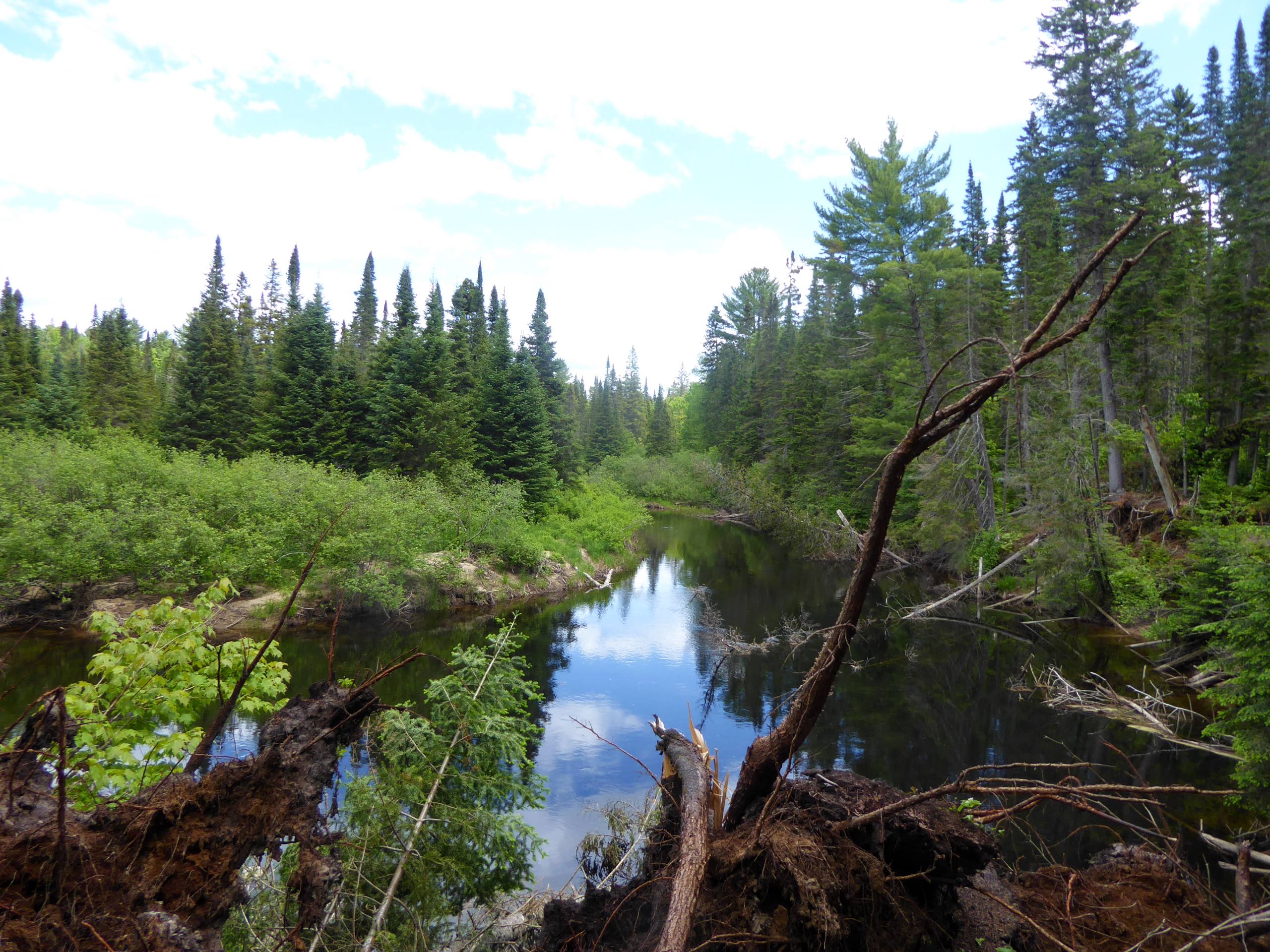
Hiking the Whiskey Rapids Trail is a great family-friendly experience in Algonquin Provincial Park that will take you through a beautiful stretch of woodland terrain to reach the edge of a river. While out on the trail, you will have the opportunity to hike along the banks of the Oxtongue River, where you will spot the rippling waters of the Whiskey Rapids. As the trail sits in close proximity to the water, make sure to bring bug spray for this hike.
Getting there
To get to the parking area of the Whiskey Rapids Trail from the west gate of the park, head to the northeast along ON-60 for 4.5mi and turn left. Here, you will find parking and the trailhead.
About
| When to do | March-October |
| Backcountry Campsites | No |
| Pets allowed | Yes - On Leash |
| Family friendly | Yes |
| Route Signage | Average |
| Crowd Levels | Moderate |
| Route Type | Circuit |
Whiskey Rapids Trail
Elevation Graph
Weather
Whiskey Rapids Trail Description
While the Whiskey Rapids Trail may only be a short hike, there are a few things to take into consideration before setting out on your adventure. There is a brief stretch of rugged terrain at the start of the hike as you descend towards the viewpoint of the rapids that features exposed roots and rocks. This may not be suitable for all levels of hikers, particularly those with reduced mobility or very young children, so make sure to wear proper hiking footwear and take your time in these areas. Additionally, the close proximity of this hike to the edge of the water means that there will likely be a fair number of mosquitoes and other bugs along the trail. Bug spray is a must if you are looking to retain a bit of comfort on the hike. Lastly, the fact that the trail sits right off the highway means that parking can be limited during peak hiking season. Arrive early in order to secure a space.
With all of these things in mind, this is still a spectacular hiking route that can be enjoyed by hikers of nearly every skill level. Setting out from the parking area, follow the trail to the southwest to descend the rough terrain of the forest on the way to the banks of the Oxtongue River. Once there, the trail will bend to the northeast and follow along the edge of the water, providing some scenic views of the rippling current along the Whiskey Rapids. From here, continue along the winding banks of the river and take in the peaceful forest setting before the path turns back to the southeast on the return to the car park.
Similar hikes to the Whiskey Rapids Trail hike

Beaver Pond Trail
The Beaver Pond Trail is a quick and easy adventure in Algonquin Provincial Park that will lead you around a…

Spruce Bog Boardwalk Trail
The Spruce Bog Boardwalk Trail is a nice and easy roadside adventure in Algonquin Provincial Park that offers the chance…

Lookout Trail
Hiking the Lookout Trail is a great outdoor experience in Algonquin Provincial Park, thanks to its short overall distance and…


Comments