


Dead Horse Point Hike
View PhotosDead Horse Point Hike
Difficulty Rating:
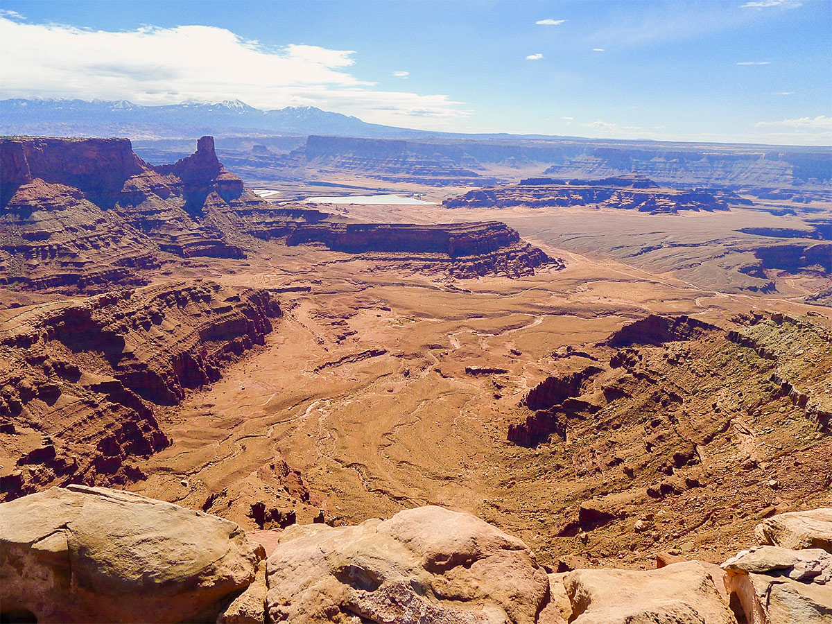
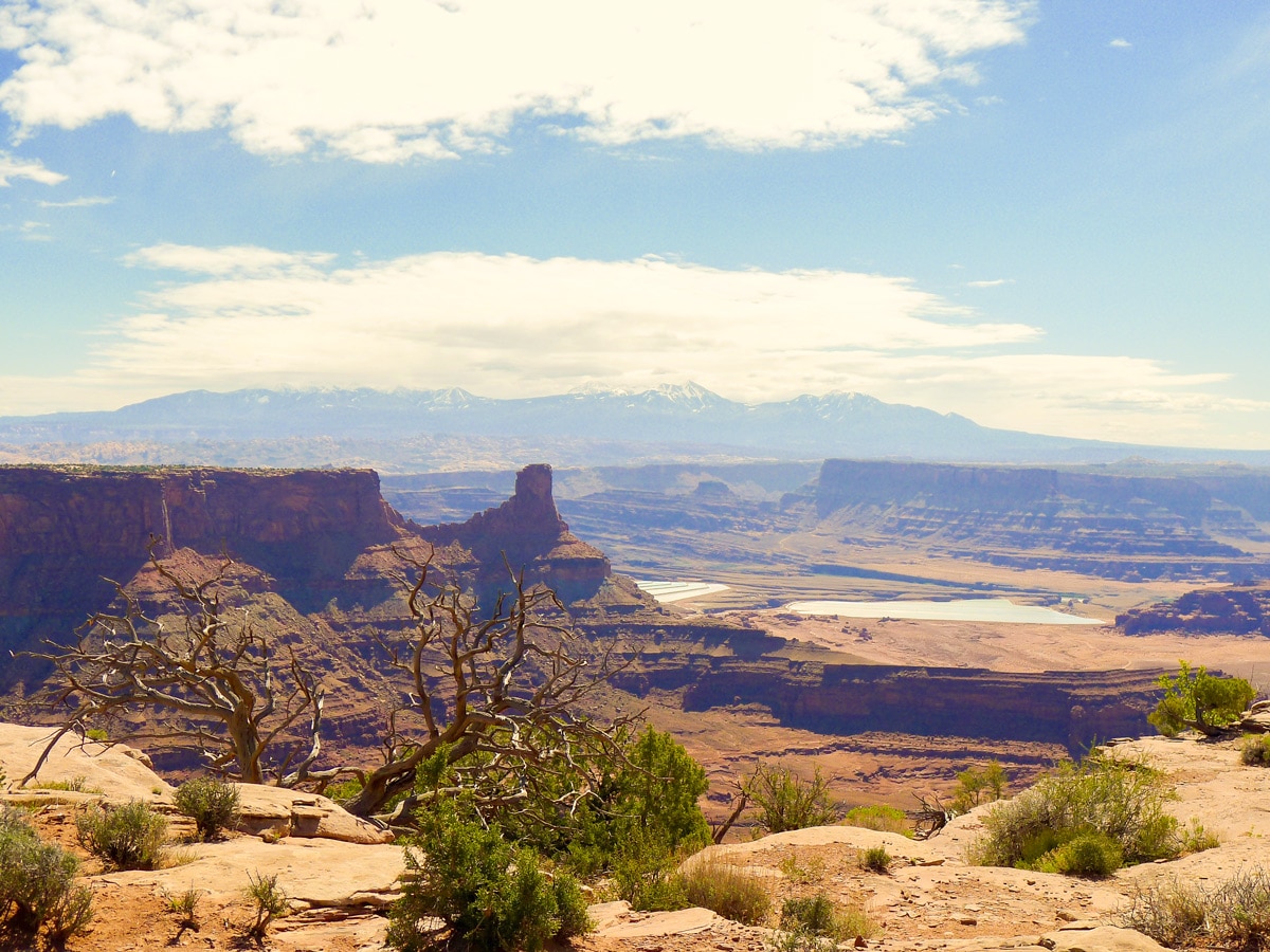
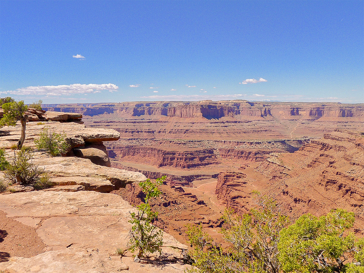
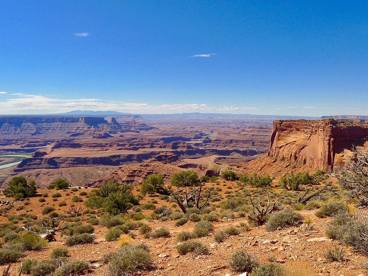
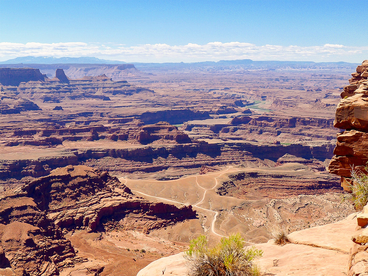
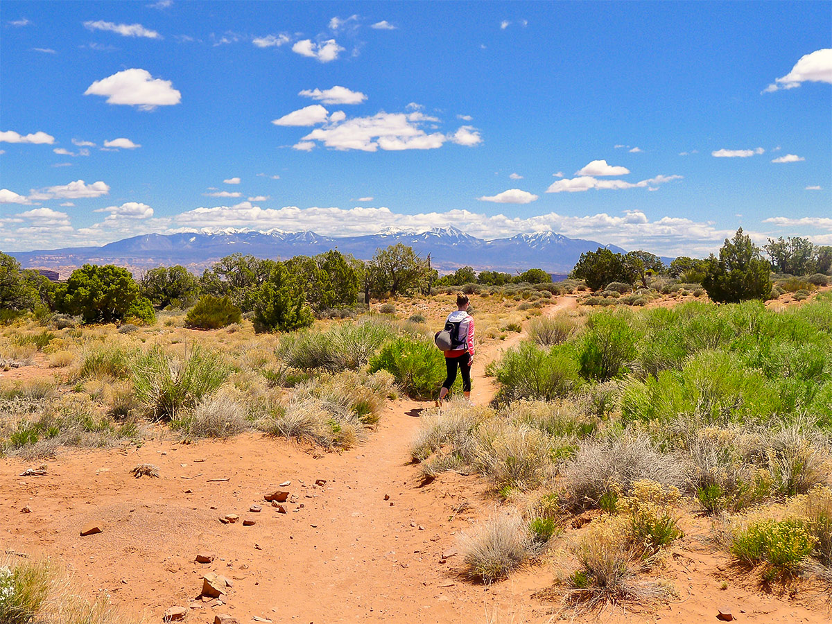
The Dead Horse Point hike knocks you out of your boots straight from the trailhead. This scenically dense hike puts you in the heart of the action. Expect fantastic views down to the winding Colorado River and across the expansive valley to the La Sal Mountains throughout the entire route.
Getting there
To get to the Dead Horse Point trailhead, head north from downtown Moab along route 191 for 11.0mi, crossing the Colorado River. Turn left onto the 313 West, but watch out, this intersection comes up fast! Drive along this highway for just under 15.0mi, then turn left to continue along route 313 towards Dead Horse State Park. In a couple of miles you will arrive at the park gate, where you have to pay the entrance fee. Continue along the same road until you reach the visitor centre on the left, where the parking lot is also located.
About
| When to do | Year Round |
| Backcountry Campsites | Yes |
| Toilets | Yes |
| Family friendly | No |
| Route Signage | Average |
| Crowd Levels | Moderate to High |
| Route Type | Circuit |
Dead Horse Point Hike
Elevation Graph
Weather
Dead Horse Point Hike Description
Before starting the Dead Horse Point hike, you can replenish your supplies in the visitor center. Grab a soda, snack or a souvenir for the hike. We also recommend talking to a park ranger here, who can provide you with the most up-to-date trail conditions and helpful tips for the hike. The route itself begins on the opposite side of the visitor center from the parking lot, signposted as the East Rim Trail. Head south along the East Rim Trail towards Dead Horse Point.
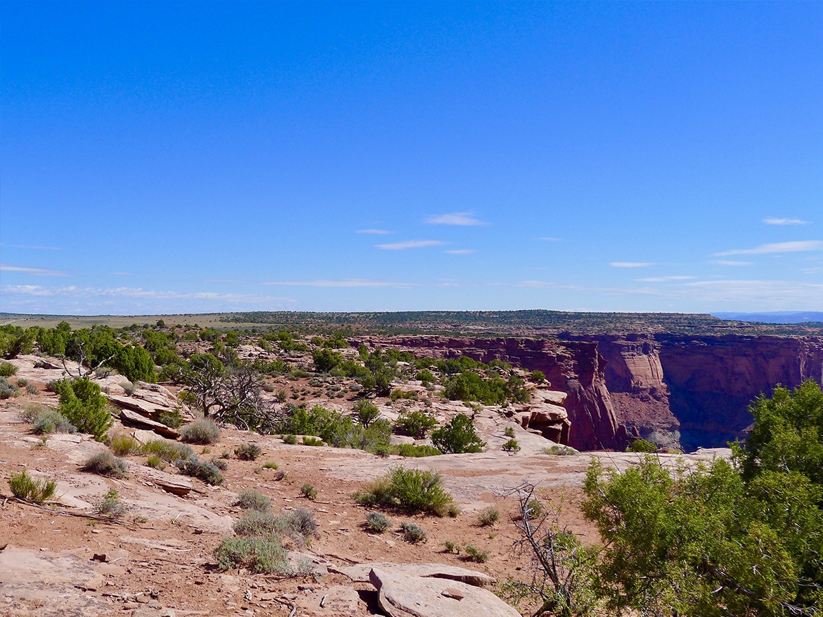
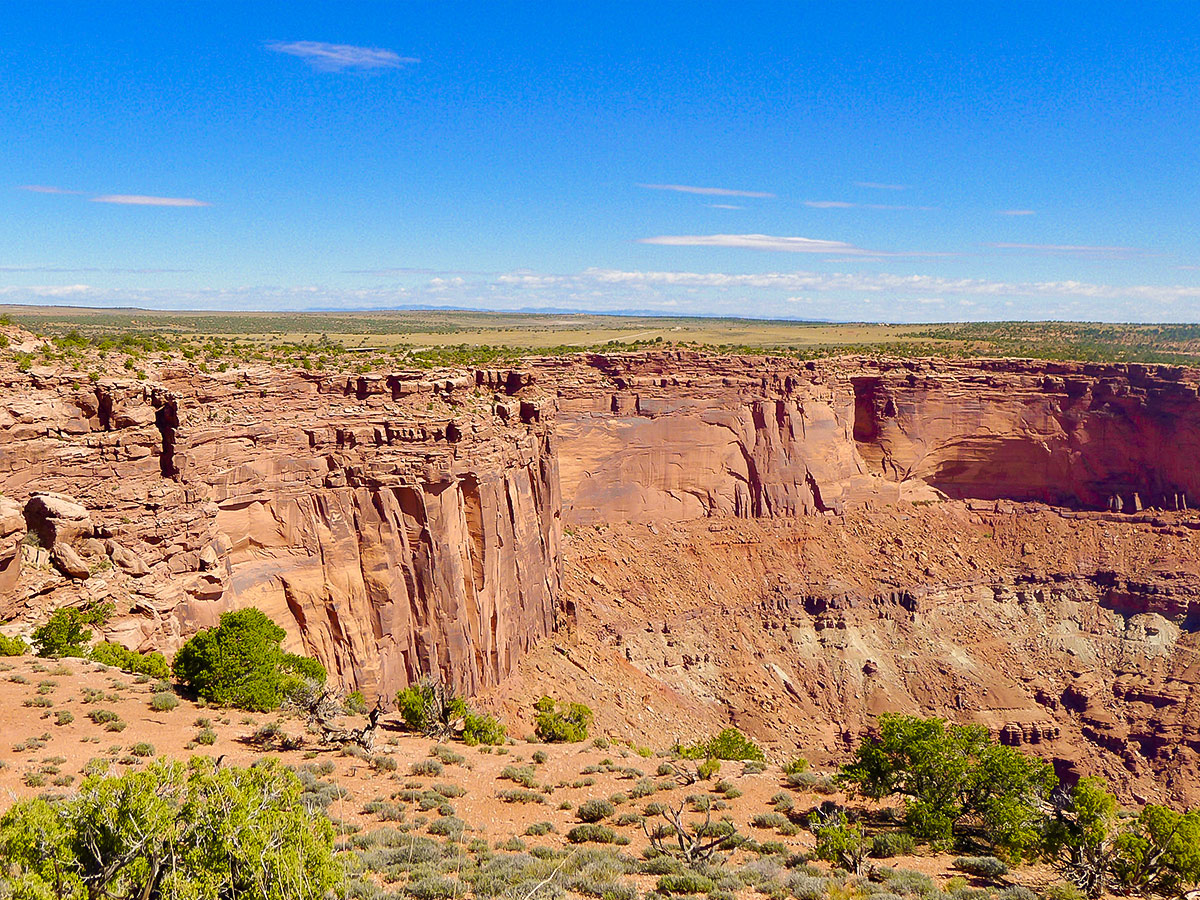
The trail here is almost entirely flat, tightly hugging the edge of the large rock peninsula – known as Dead Horse Point. To your left you see sheer cliffs running down 2,000 ft to the valley bottom, meeting up with a gooseneck in the Colorado River. To the right, a handful of resilient plants hang onto the red dirt, populating the otherwise desolate and flat plain.
The point received its name when it was used as a natural corral for cowboy’s horses. Many horses were left stranded out on the point and died of dehydration and exposure – ironically, all within view of the Colorado River below.
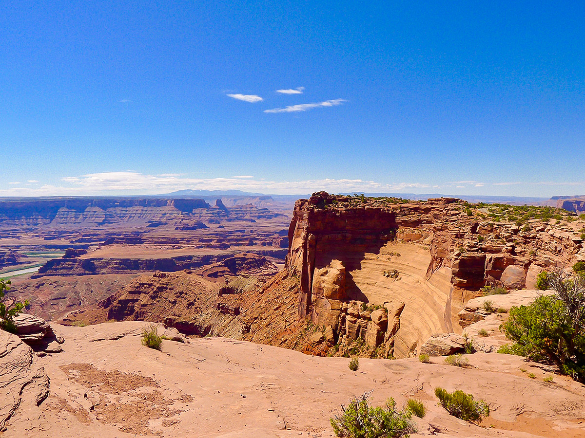
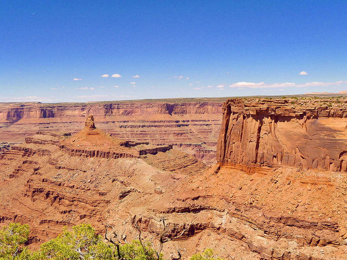
As the trail continues, you will soon reach Dead Horse Point, the apex of the hike. From here you will be granted unparalleled 360-degree views of mountains, canyons, towers, cliffs and the mighty Colorado River. There is a shaded picnic area at the point, as well as a washroom. Take care when leaning over the edge to snap photos, as the exposure is severe! That being said, along most of the East Rim there is a manmade wall railing to keep you safe.
The West Rim Trail picks up where the East Rim left off, continuing around the point for another couple miles. At times the West Rim’s trail is more difficult to follow than the East Rim, but cairns and other small trail markers aid the process. There are two points along the path where you can divert to go to viewpoints, but these junctions are extremely well signposted. Check out these diversions if you have the energy.
Finally, the trail will veer right, completing the loop and bringing you back to the visitor center. You will pass by the Dead Horse Point campground as you near the lodge.
Hiking Trail Highlights
Dead Horse Point
Dead Horse Point is one of the most popular destinations in the region around Moab, in part for its enigmatic name and the legend that accompanies it. The jutting peninsula of rock, accessible only by a narrow neck, once provided the ideal corral for the wild mustang horses that had been rounded up by local cowboys. On one unfortunate occasion, the horses were inexplicably left without water, leading them to die of exposure and dehydration.
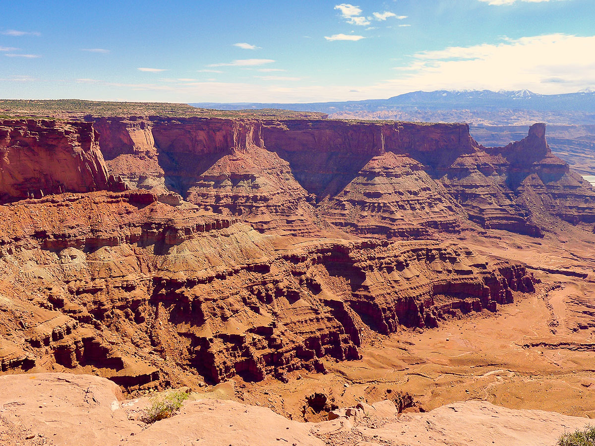
Despite the slightly ghoulish name, Dead Horse Point is one of the most spectacular spots in Utah. Here you’ll have a magnificent panorama over the Colorado River, and the dramatic canyons and cliffs that have been carved over millennia into remarkable shapes by the passage of the water. The red sandstone glows under the warm sun, creating an incredible vista.
Colorado River
The Colorado River is one of the United States’ most epic waterways, beginning in the Colorado Rocky Mountains and flowing 1,450 mi before reaching the sea in northwest Mexico. The watershed of this remarkable river has sustained human civilizations for over 8,000 years, and is the site of innumerable myths, legends and stories.
The Colorado River is responsible for carving some of the most impressive canyons in the Americas, including the Grand Canyon itself. In the region around Moab, relatively close to its source in the Rocky Mountains, the Colorado River has shaped the landscape, creating impressive cliffs and gullies in the soft sedimentary rock. The river flows through the stark desert landscape, sustaining the rare and wonderful flora found in the valleys and canyons.
La Sal Mountains
The La Sal Mountains rise high over the desert, just 20 mi south of Moab. These beautiful mountains now form part of the Manti-La Sal National Forest, and are the second-highest mountains in Utah, at a maximum elevation of 12,720 ft above sea level. The range gets its name from the period of Spanish occupation, when they were known as ‘the salt mountains’. These clusters of snow-capped peaks create a unique and iconic backdrop for the stark desert landscapes and towering rocks of Arches National Park.
Frequently Asked Questions About the Dead Horse Point
Why do they call it Dead Horse Point?
The story behind the slightly sinister name of Dead Horse Point has become a local legend, and is the subject of some mystery. Local cowboys used the natural features of the rocky outcrop to trap wild mustang horses that roamed the valleys and plains, as the sheer cliffs prevented any escape. However, the ridge is exposed and without water, meaning that on one occasion, the horses died of thirst as they looked on the Colorado River just below. It’s not clear why the cowboys left the horses trapped on the point, but the name stuck, and this region has been known as Dead Horse Point since the turn of the 20th century.
Are dogs allowed at Dead Horse Point State Park?
Dead Horse Point is a dog-friendly destination, and it’s possible to bring your pet on the hike with you.
Can you drive to Dead Horse Point?
The drive to Dead Horse Point is one of the most scenic driving routes in Utah. Scenic Byway U-313 passes through some of the region’s most incredible landscapes, before arriving at Dead Horse Point after 22.0mi. If you’re looking for a place to catch an epic sunset, there’s nowhere better.
If you want to find other great hikes around Moab and Arches National Park, check out the Delicate Arch Hike, Double Arch Hike or the Devil’s Garden Hike.
Insider Hints
The park road continues all the way to Dead Horse Point. If you want a shorter hike we recommend just doing the East Rim, and shuttling a car between the visitor centre and the point.
There are several popular mountain bike trails accessed from the visitor centre. If you are keen to shred, look into bringing or renting bikes as another option for exploring the gorgeous scenery.
Similar hikes to the Dead Horse Point Hike hike

Big Horn Overlook Trail
The Big Horn Overlook Trail is a family-friendly hike in Dead Horse Point State Park. This trail takes you to…

Dead Horse Visitors Center Loop
The Dead Horse Visitor Center Loop is a great way to stretch your legs and see some incredible views of…

Colorado River Overlook Trail
The Colorado River Overlook Trail is a short and easy route that affords hikers stunning views of the Utah desert.…


Clara Fields 5 years ago
The views are stunning! Specially in sunset!
Barbara Clarkson 5 years ago
Great photo spots! Nice and easy
ArnoldM 5 years ago
Incredible scenery! Take plenty of water and take it easy in the heat.
Frank M. 5 years ago
Paved trails and lots of opportunities for magnificent photos. Great hike!
Stevie M 5 years ago
Lots of sun, definitely bring sunscreen but it was a pretty easy trail with amazing views.
brandonlong 5 years ago
Seeing this wonderful creation makes me so proud of Utah! a
Gabriel10 5 years ago
Breathtaking! The landscapes and rock formations are unlike anything I've seen before.
marjflores 5 years ago
The sites are amazing. Lots of trails for to try.
Kitera Sunama 5 years ago
The first time I saw this I was really amaze! It's jaw-dropping!
April O. 6 years ago
I've heard enough good things about this hike before I did this hike so I can say it's exactly how I expected it to be.