


Clouds Rest Hike
View PhotosClouds Rest Hike
Difficulty Rating:
The hike to Clouds Rest in Yosemite National Park is a fun day out and leads to one of the best viewpoints in all of Yosemite. Although it’s one of the more difficult trails, the Clouds Rest hike is one of the best in the whole park.
Getting there
To get to the Clouds Rest trailhead, take the Tioga Road (Highway 120) east from the Crane Flat gas station for approximately 31.1mi to the southwestern edge of Tenaya Lake. The lot itself is small and many people park on the shoulder of the road.
About
| When to do | June through September |
| Backcountry Campsites | Yes |
| Toilets | Trailhead |
| Family friendly | No |
| Route Signage | Average |
| Crowd Levels | Moderate |
| Route Type | Out and back |
Clouds Rest Hike
Elevation Graph
Weather
Clouds Rest Hike Description
To start the Clouds Rest hike, drive up to Tioga Road and park at the westernmost side of Tenaya Lake. There are washrooms and bear boxes there, however, the lot itself often fills up quickly. Additional parking can be found in the pullouts located several hundred meters on either side of the lot itself.
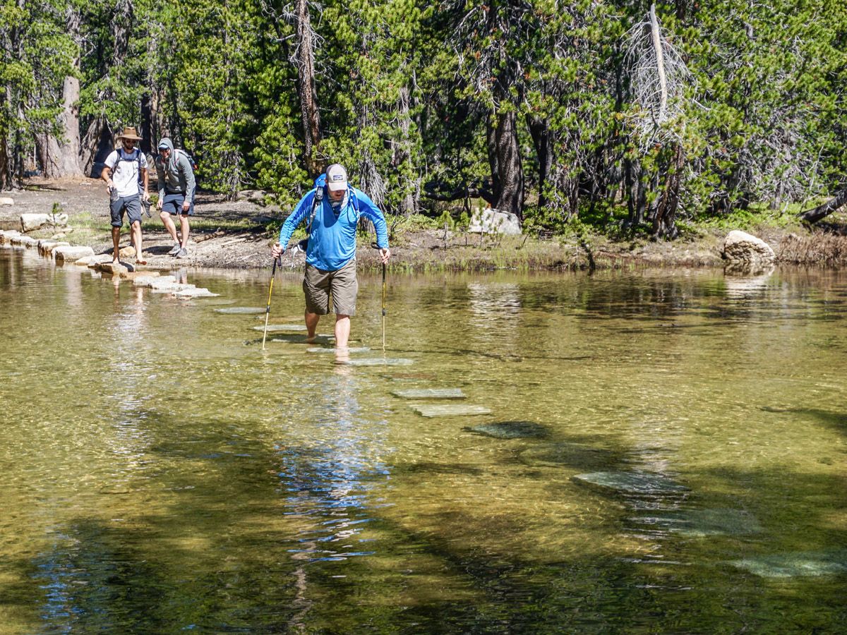
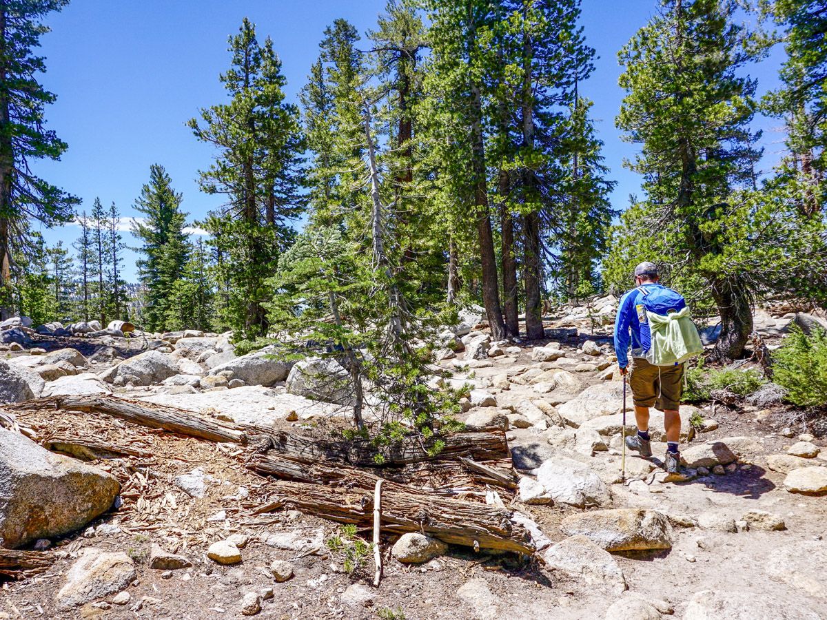
The hike to Clouds Rest skirts by the southwestern edge of Tenaya Lake on well-marked trails, almost immediately leading to a stream. Rocks have been placed to form a bridge, though when the water level is high the stones may disappear below the water’s surface halfway across and you may have to remove your boots. This is an excellent opportunity to use hiking poles. Further along the approach, there are more stream crossings, but they are all minor and can be forged without much hassle.
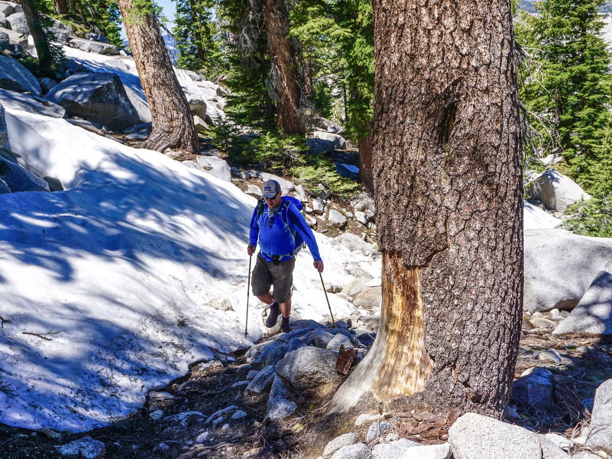
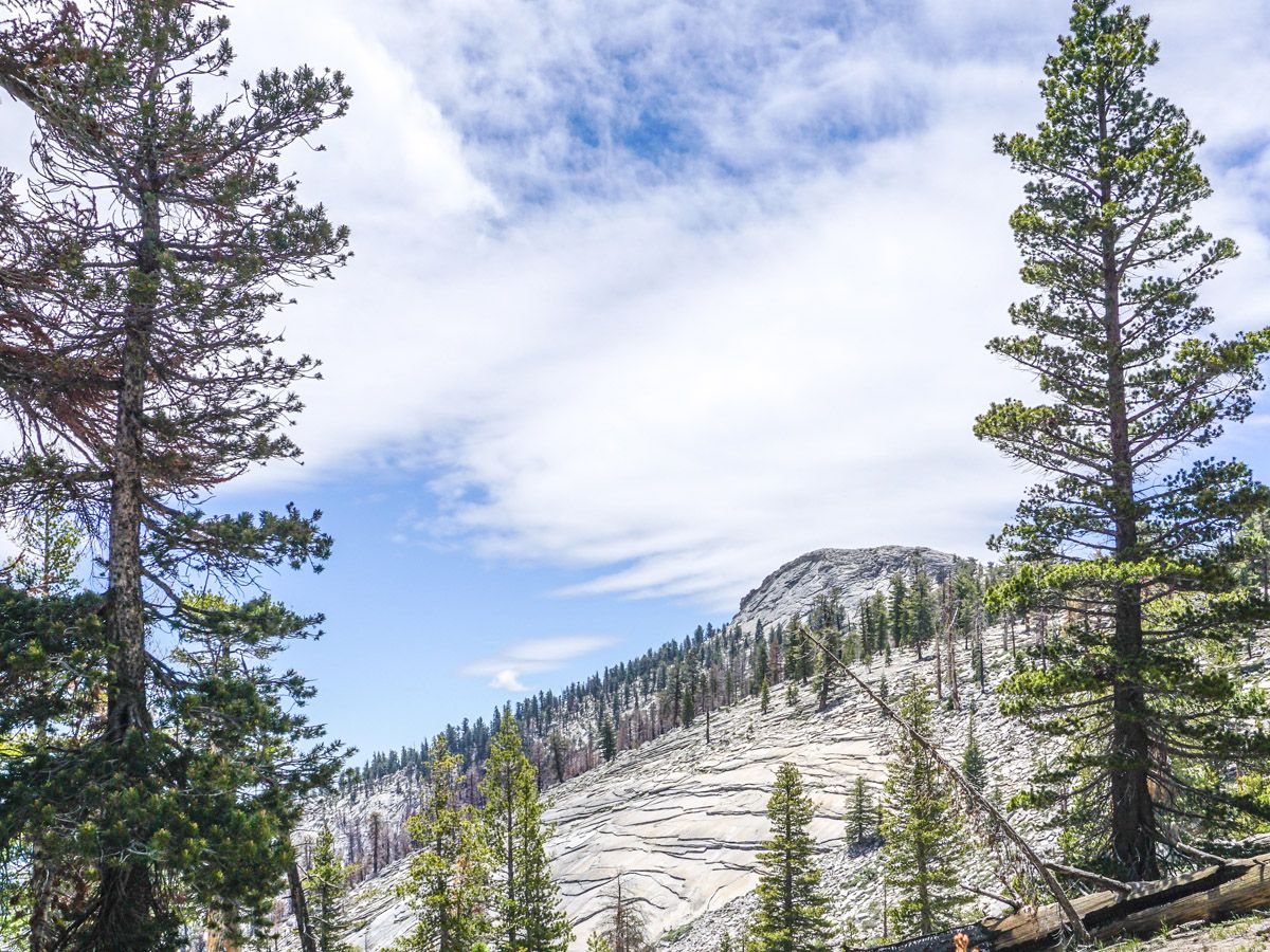
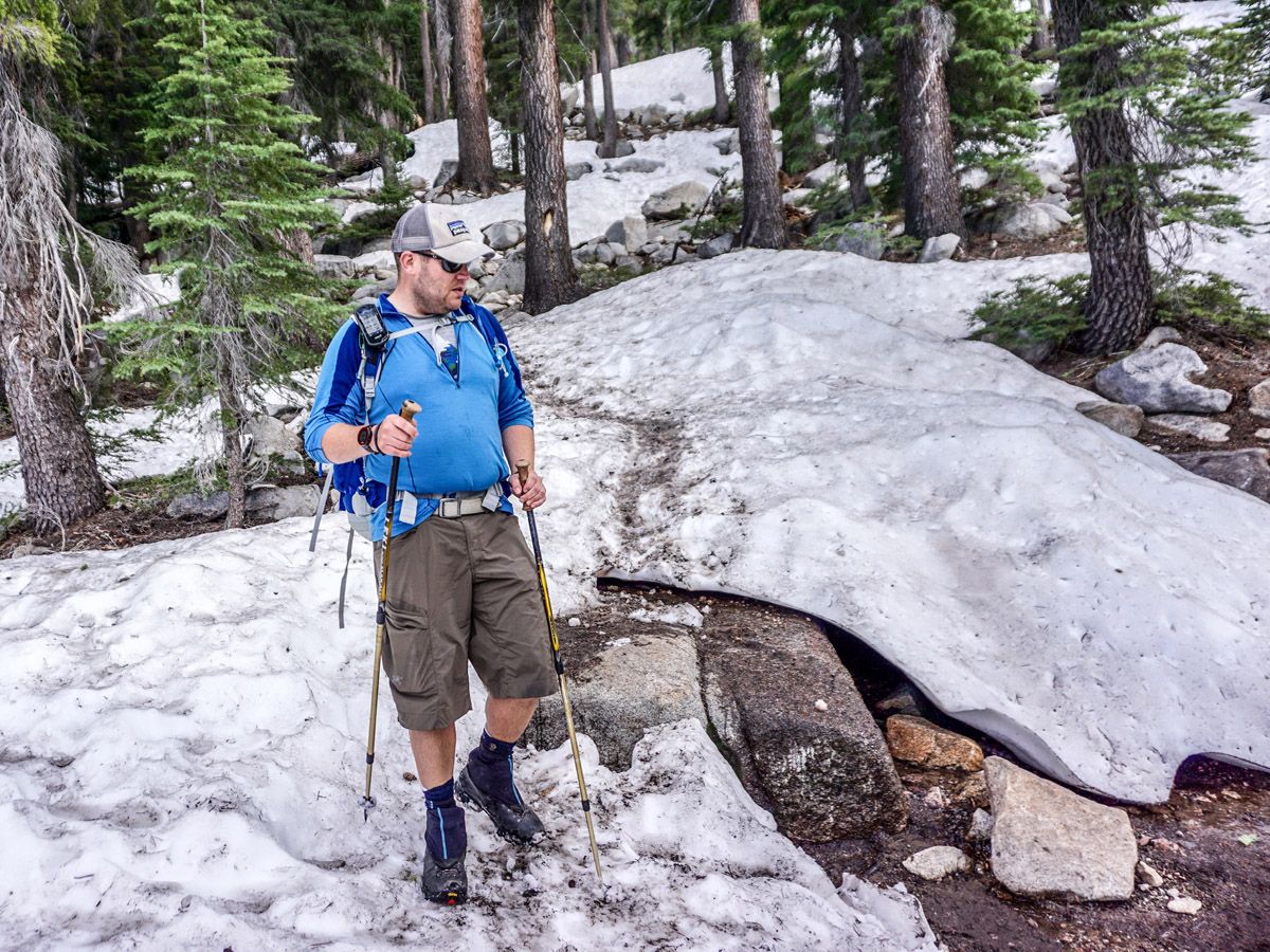
After continuing along the mostly flat trail, the grade will increase as you climb approximately half of the total elevation for the hike. As this aspect is south facing, there is a high possibility of snow early in the season. When we hiked, the Clouds Rest Trail was hard to follow, though there were many others and the path could be found. Ask a ranger about trail conditions, especially if you are hiking early or late in the season. The key is to always make sure you are on the right path and look for footprints in the snow and cairns built on rocks.
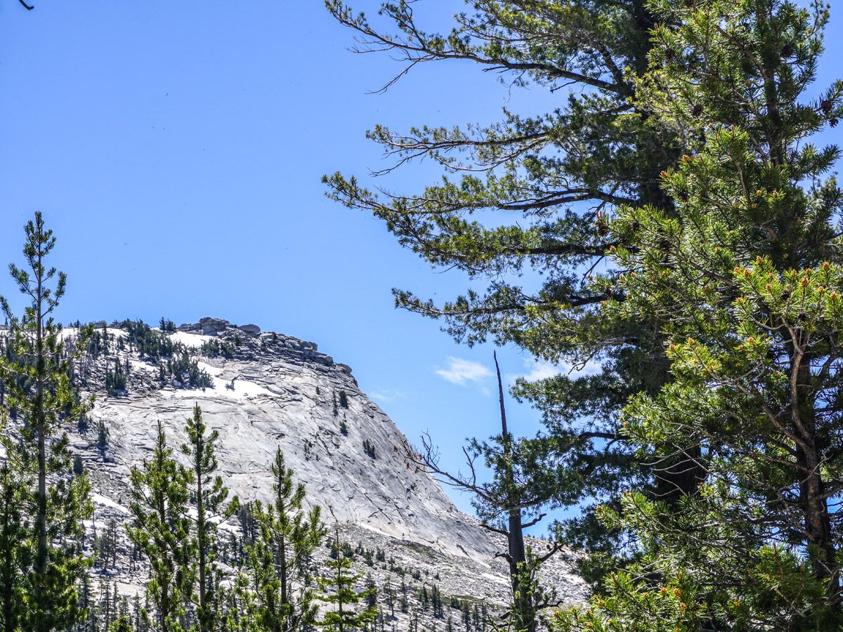
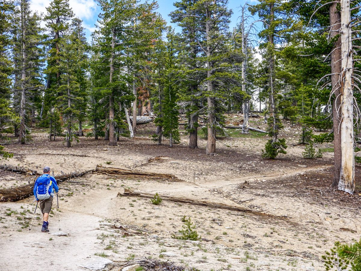
At the top of this pass, you will probably get cell phone service, and the clearing is a nice spot to take a short break. Continue down from the ridge and drop into the valley below. Again, you’ll hike for several kilometers on a well-marked trail that remains mostly flat. Only after quite a while, you will begin to see the tip of Clouds Rest poking out of the forest.
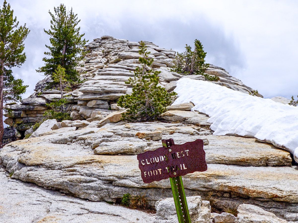
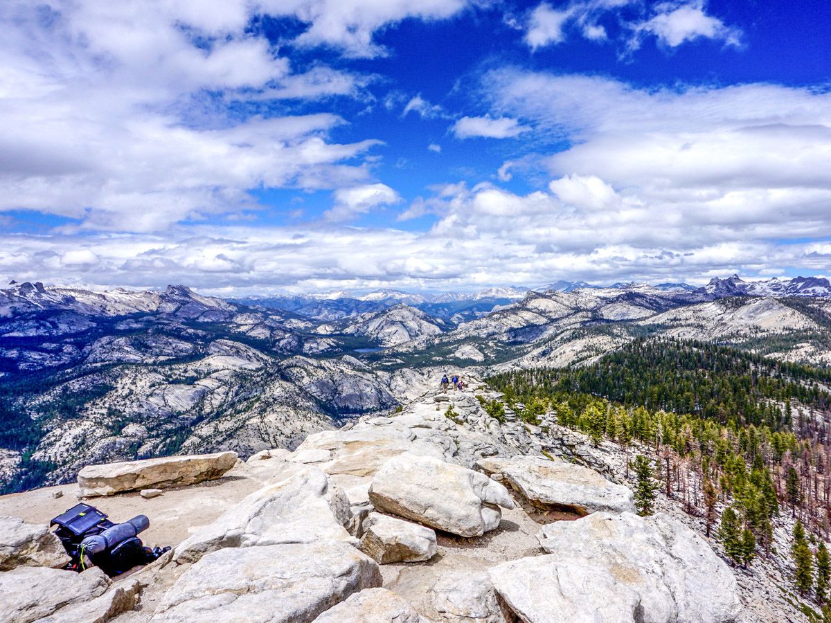
Each intersection is well marked, and there are many paths leading off for backpackers and thruway hikers. Approaching the summit, the trail once again becomes steeper as you contour through the trees. Turn left as you ascend the summit. The summit ridge has dangerous drop-offs but is wide enough that it didn’t cause any fears for our team, one of whom is especially sensitive to exposure. It is paramount that you pay attention during this short ridge and save photos for the top. Always stay on the safest part of the trail.
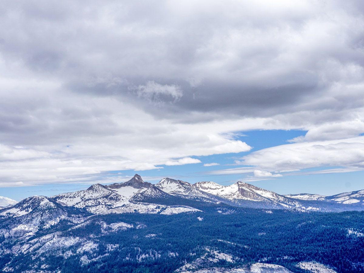
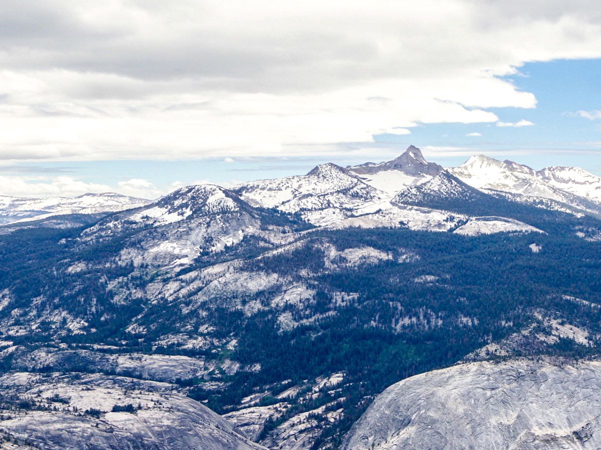
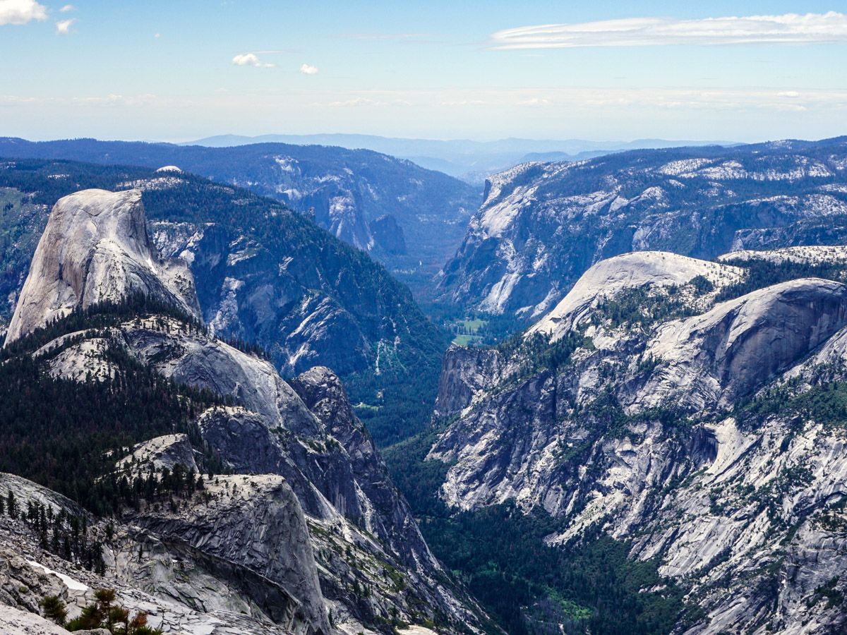
Crest the top of Clouds Rest mountain and see an incredible view of Yosemite Valley before you. We actually prefer the view with Clouds Rest in front and Half Dome beside. After enjoying the view and Facetiming your friends with the abundant 3G service, return to the trailhead the way you came!
Hiking Trail Highlights
Clouds Rest
Clouds Rest is a mountain in Yosemite National Park, California. It is 3,027 m (9,930 ft) tall, and due to its proximity to the Yosemite Valley, it offers one of the best viewpoints in the whole area. Clouds Rest is one of the more popular hikes in Yosemite, since on a clear day, you can often see Hawaii to the west and all the way to Nebraska in the East (not literally, but the views are crazy expansive, just saying) not to mention the unforgettable views of Yosemite Valley all around you. Some of the best views include Half Dome, Tenaya Lake, Merced Lake, Mt Hoffman and El Capitan.
Clouds Rest is also a great choice if you want something less crowded but equally amazing as the Half Dome trail. It is also a simpler option as you don’t need a permit to go to the summit as you do for the Half Dome hike.
Clouds Rest mountain got its name in the 19th century from the Mariposa Battalion. Doctor Lafayette H. Bunnell was with the party and wrote in his notes that after reaching the summit, they were forced to return quickly to their camp to avoid a snowstorm. They watched as the clouds settled down intensely upon the mountain, as if to rest at the end of the day, so they dubbed the mountain Clouds Rest.
Frequently Asked Questions about Clouds Rest
Is Clouds Rest dangerous?
The climb to the summit of Clouds Rest is a challenging hike, but although some sections may seem a little daunting, it’s not dangerous. The narrow ridge close to the summit drops off very steeply, so sufferers of vertigo may find this section difficult. The trail itself is perfectly safe, although it’s important to follow usual safety advice when hiking in the national park (i.e., stay hydrated, check weather forecasts, and follow guidance from local rangers).
Can you camp on Clouds Rest?
Camping is not allowed on the summit of Clouds Rest, and there’s no open ground on which it would be possible to pitch a tent. However, it’s possible to camp in any other part of Yosemite National Park (with the appropriate backcountry camping permit) as long as you stay at least 100ft off the trail.
Do you need a permit to hike in Yosemite?
Permits are not required for day hikes in Yosemite National Park, with the exception of Half Dome. However, you will need to obtain a backcountry camping permit if you plan to do any camping or backpacking trips.
If you want to find more great hikes in Yosemite, check out Sentinel Dome, Yosemite Valley or Panorama Trail!
Insider Hints
You will probably have cell phone service for part of this hike!
If you like to backpack, you have some great options branching out from this trail.
Similar hikes to the Clouds Rest Hike hike

Beehive Meadow Trail
The Beehive Meadow Trail is an amazing adventure in Hetch Hetchy that travels through diverse terrains. Cross the O’Shaughnessy Dam,…
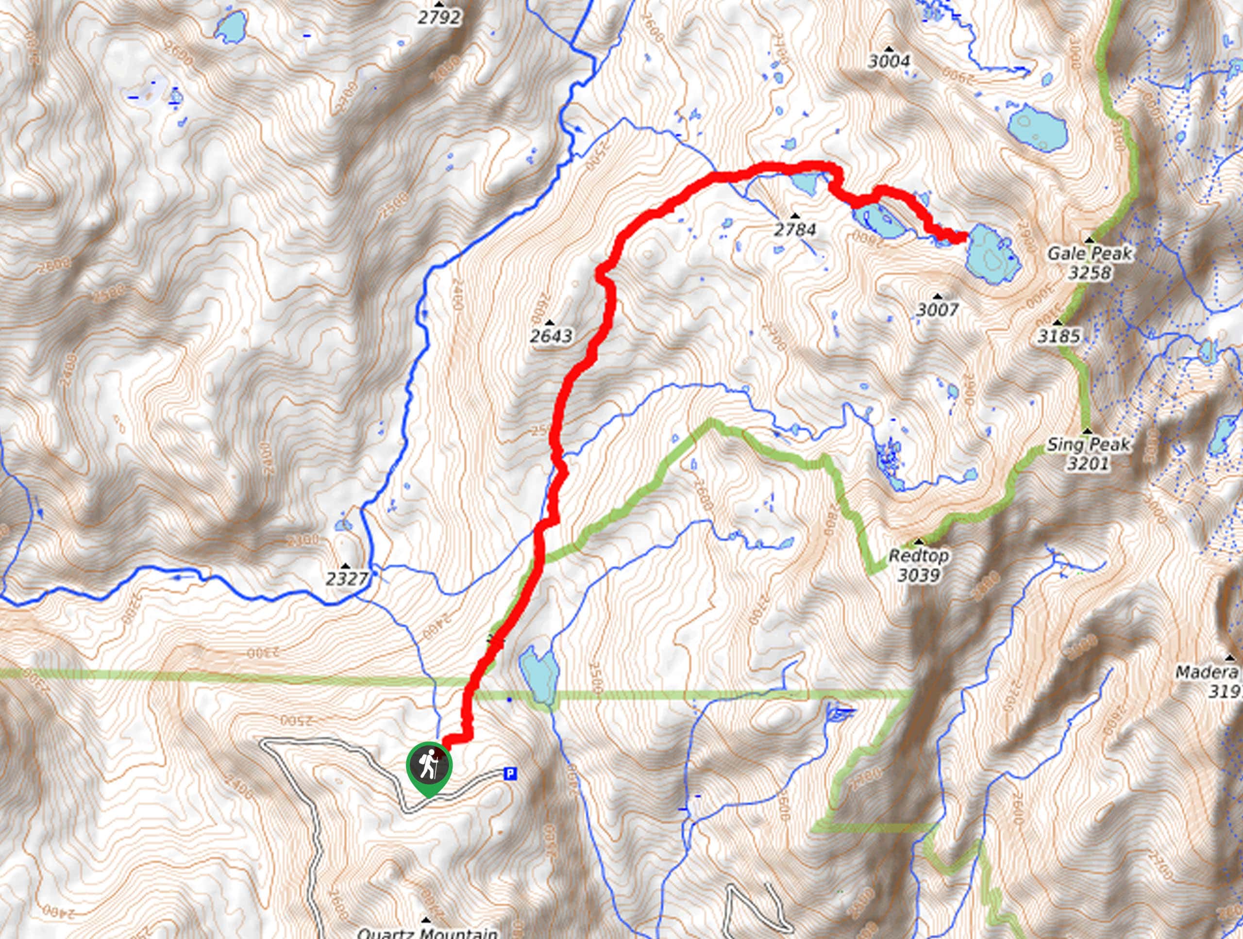
Chain Lakes Hike
Explore one of the more secluded trails in Yosemite National Park along the Chain Lakes Hike. This wonderful trail exposes…
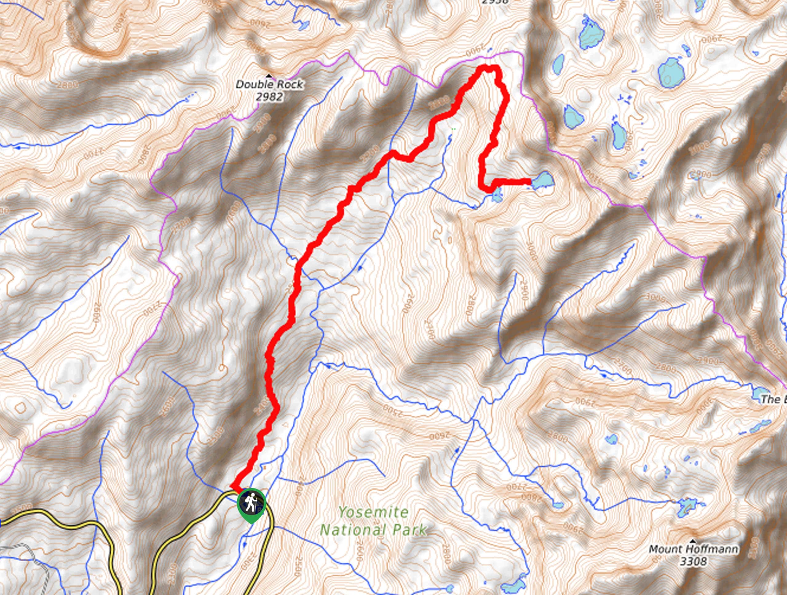
Grant Lakes Hike
Immerse yourself in Yosemite’s high country along the Grant Lakes Trail. This epic hike exhibits the grandeur and diversity of…


yanagichan 5 years ago
An incredible experience, and totally worth the muscle soreness that came after that!
MichaelShulman 5 years ago
It was a nice hike! We finished the day with a swim in the lake.
Kenny Walks 5 years ago
This is an awesome hike. The views are unbelievable, the hike is strenuous.
orlando f. 5 years ago
Que sera, sera started playing in my air pod upon reaching the peak. Perfect timing? It's just beautiful up there.
Yael M. 5 years ago
Mighty,tough hike with satisfying views!
Tom Pack. 5 years ago
It's definitely one of the most beautiful hikes you will ever do. It offers great views of many different angles of Yosemite
Chris Stutter 5 years ago
If you're in Yosemite and are physically capable, you need to do this hike. The view you're rewarded with at the end is second to none. Make sure you allow a good 8 hours to do this hike and bring lots and lots of water.
MissGiggles 5 years ago
One of the best spot for seeing Yosemite. It has a 360 view of all the surrounding terrain and you can see many different parts of the forest. It’s a relatively steep trail but very well kept and easy to follow till you get to clouds rest foothill where it’s all rock to the top. I would recommend to set aside at least an hour to spend at the top to enjoy the wonderful view.
Cooper B. 5 years ago
The view from the the top is incredible and well worth effort.
Charles W. 5 years ago
Brilliant! It feels like I'm up in the clouds. It's probably high, and it made me a little dizzy while looking down.