Bald Butte Trail
View Photos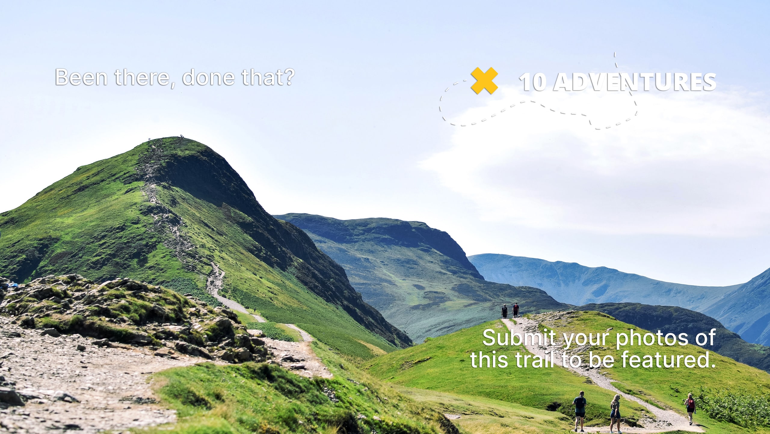
Bald Butte Trail
Difficulty Rating:
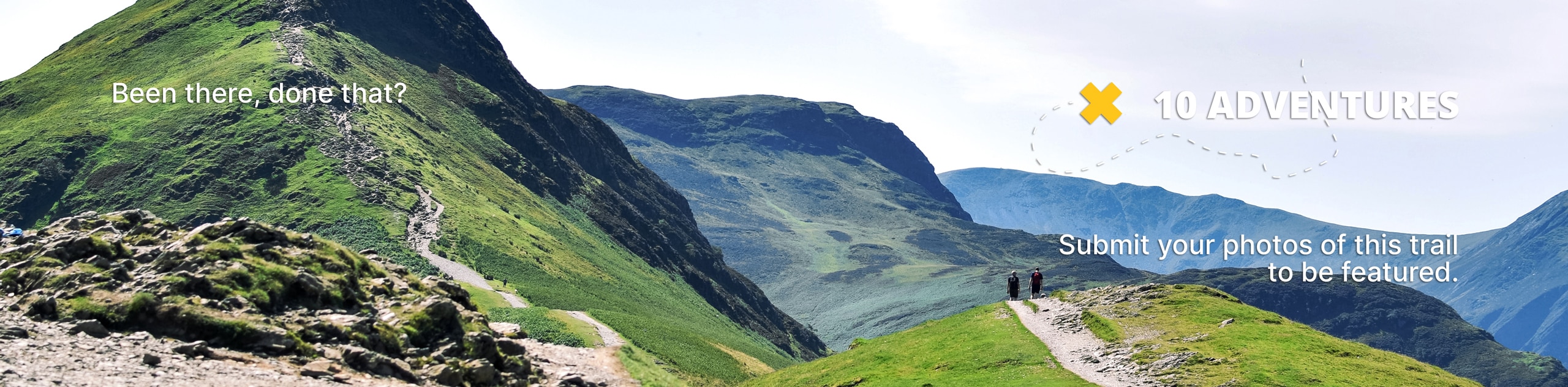
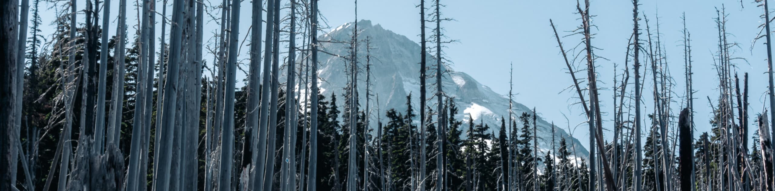
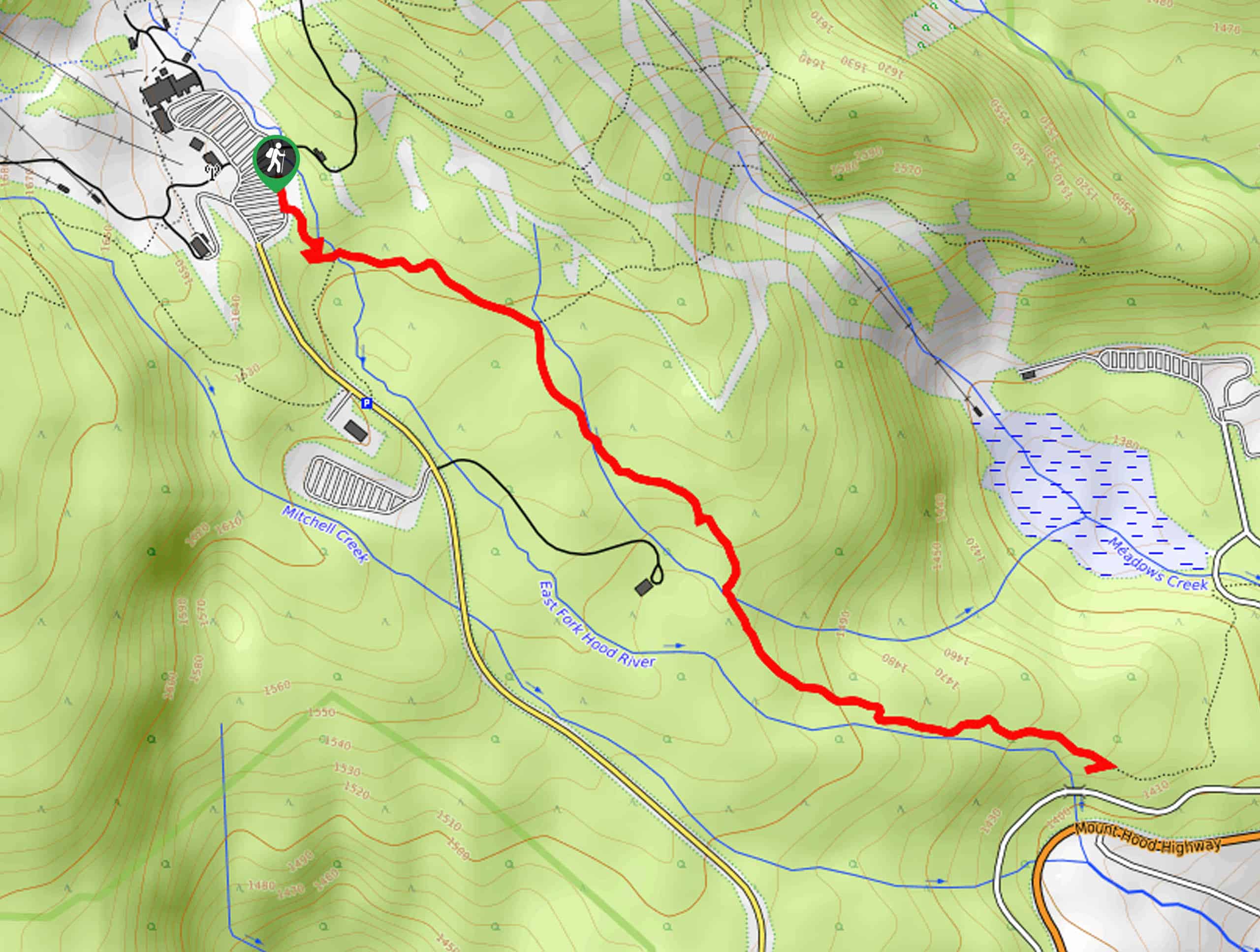
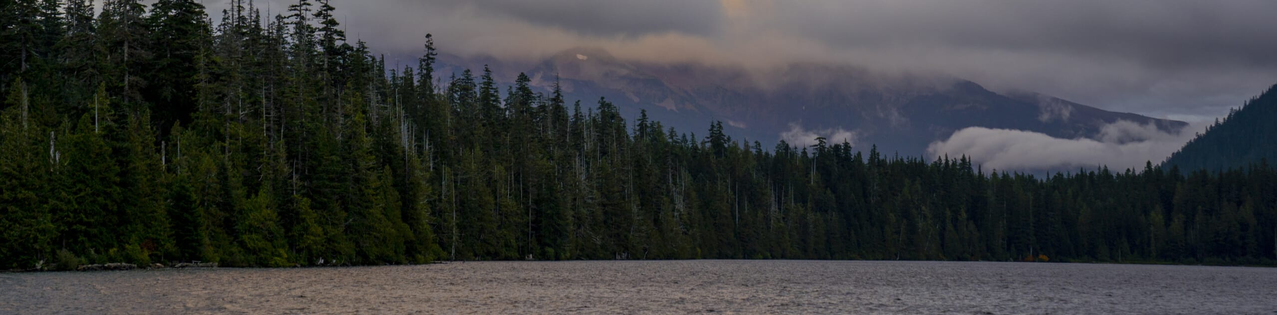
The Bald Butte Trail is a wonderful outdoor adventure that showcases some of the exceptional terrain and beautiful views within Mount Hood National Forest. While out on the trail, you will climb uphill through the forest landscape and traverse Surveyors Ridge, before pushing up to the summit of Bald Butte for views of Mount Hood. Hikers should take note that, while this trail is accessible year-round, you will need snowshoes in order to safely traverse it during the winter months.
Getting there
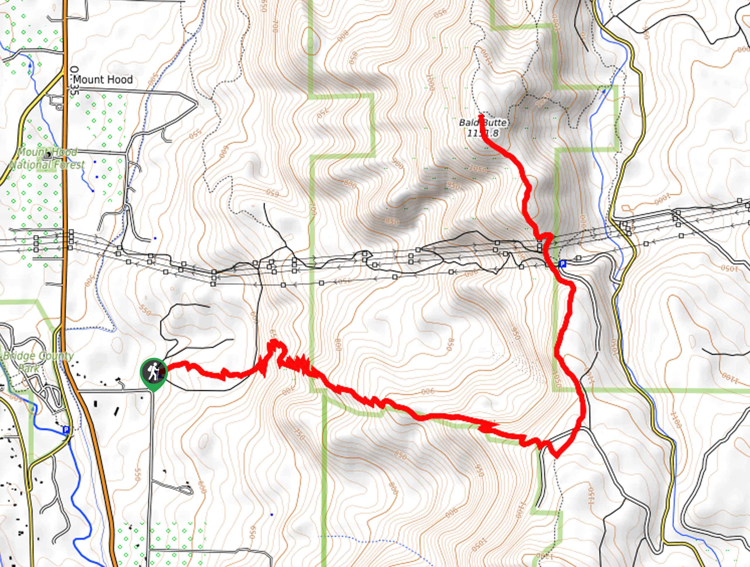
The starting point for the Bald Butte Trail can be found at the Oak Ridge Trailhead off Smullin Drive.

About
| Backcountry Campground | No |
| When to do | Year-Round |
| Pets allowed | Yes - On Leash |
| Family friendly | Older Children only |
| Route Signage | Average |
| Crowd Levels | Moderate |
| Route Type | Out and back |
Bald Butte Trail
Elevation Graph
Weather
Bald Butte Trail Description
Featuring plenty of switchbacks throughout the hike, the Bald Butte Trail will definitely make you work for your views! If you are after a fantastic outing in Mount Hood National Forest that doesn’t start way out in the backcountry, then this is certainly the route for you.
Setting out from the Oak Ridge Trailhead, you will make your way east through the serene woodland landscape. This initial portion of the hike traverses a bunch of switchbacks, so be prepared to gain a bit of elevation!
Eventually, you will reach Surveyors Ridge and follow it north, enjoying the stunning views of Mount Hood as you arrive at the top of Bald Butte. After pausing for a rest, turn back along the trail and retrace your steps on the return into the trailhead where you began.
Similar hikes to the Bald Butte Trail hike
Tilly Jane Trail
The Tilly Jane Trail is a challenging hiking route in Mount Hood National Forest that climbs uphill through woodlands and…
Umbrella and Sahale Falls Hike
The Umbrella and Sahale Falls Hike is the perfect adventure in Mount Hood National Park for those who enjoy scenic…
Lost Lake Loop Hike
The Lost Lake Loop Hike is a fantastic outdoor adventure in Mount Hood National Forest that will take you around…
Comments