McNeil Point Trail
View Photos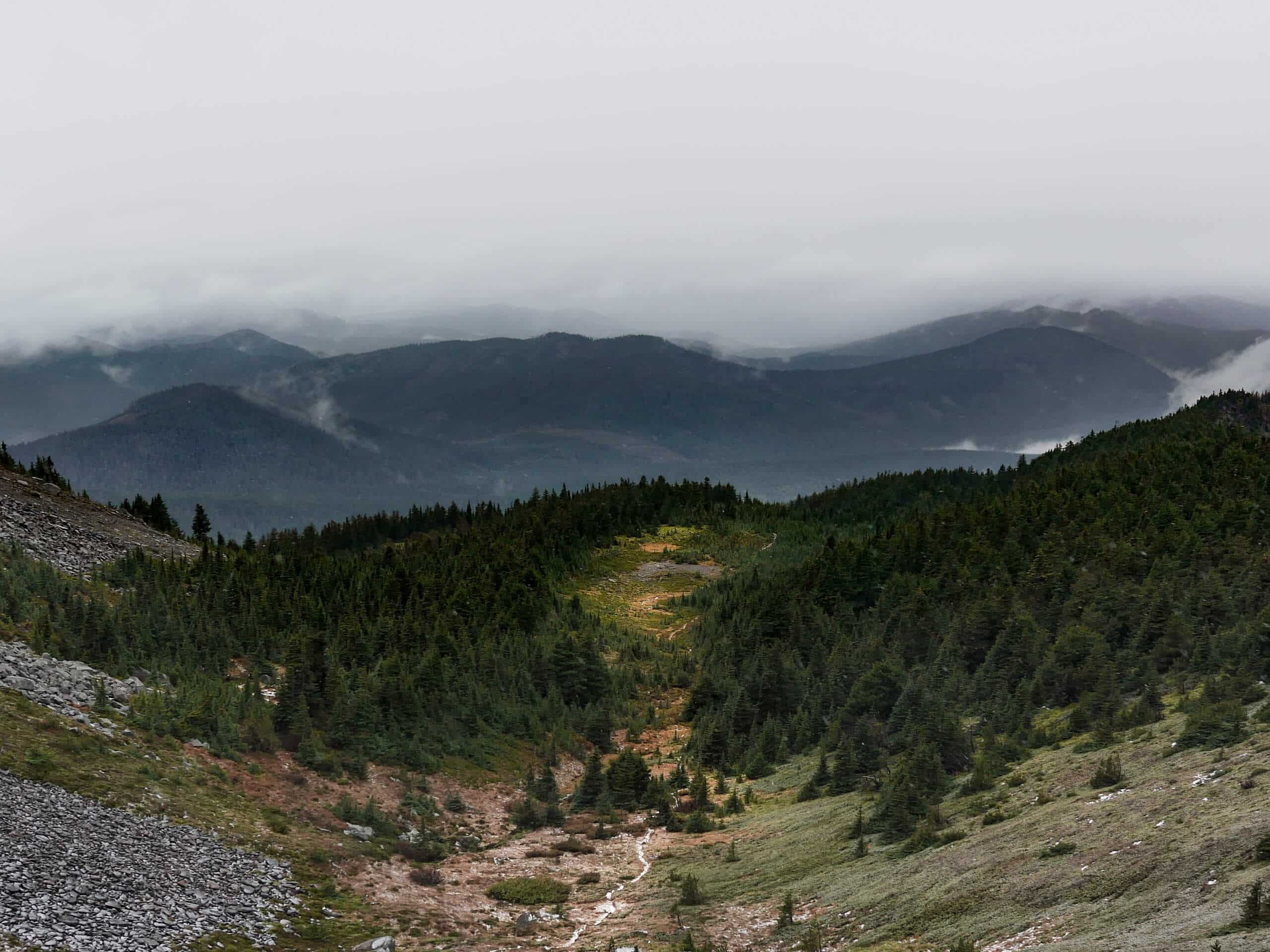
McNeil Point Trail
Difficulty Rating:
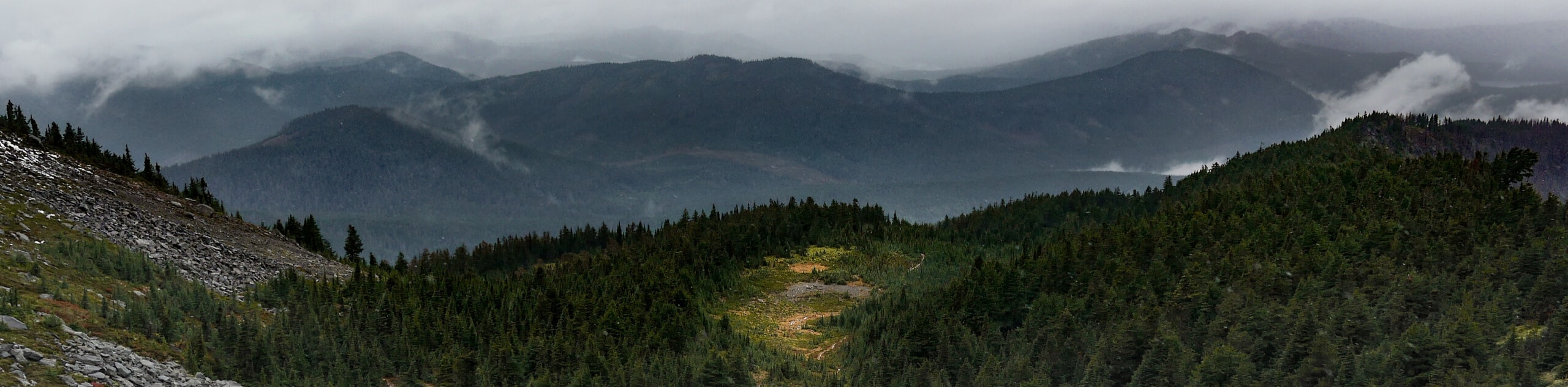
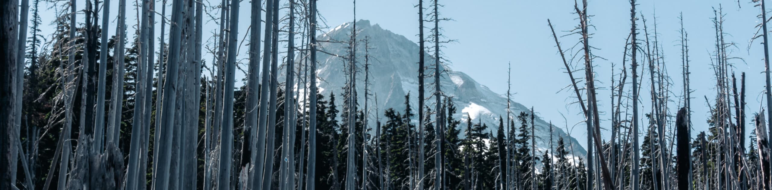
The McNeil Point Trail is a challenging excursion in Mount Hood National Forest that features steep terrain and breathtaking views of Mount Hood itself. While out on the trail, you will work your way through the forest and along Bald Mountain Ridge, before arriving at the McNeil Point Rock Shelter for an in-your-face view of Mount Hood. Hikers should take note that this is a tough hiking route, so make sure to wear proper hiking boots and bring plenty of water/snacks to stay fueled.
Getting there
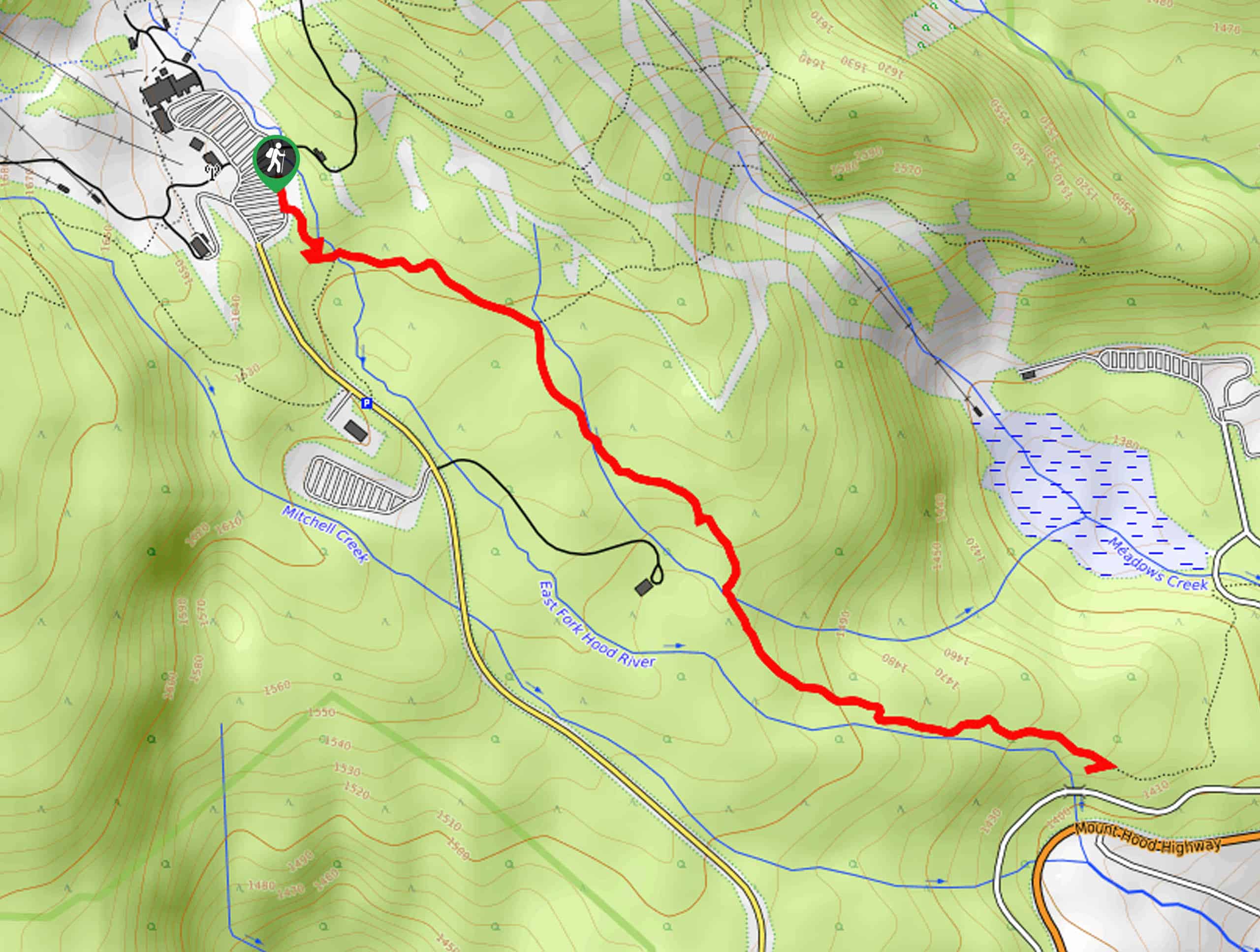
The starting point for the McNeil Point Trail can be found at the Top Spur Trailhead on NF-118.

About
| Backcountry Campground | Camps near Ho Rock |
| When to do | May-November |
| Pets allowed | Yes - On Leash |
| Family friendly | No |
| Route Signage | Average |
| Crowd Levels | Moderate |
| Route Type | Lollipop |
McNeil Point Trail
Elevation Graph
Weather
McNeil Point Trail Description
The perfect combination of challenging difficulty and stunning views, the McNeil Point Trail is one of the best day-hikes if you are wanting to experience the majesty of Mount Hood. Be sure to come prepared, as the route does get harder as you go!
Setting out from the Top Spur Trailhead, you will make your way east through the forest on an uphill climb that will bring you to a junction with the PCT. Keeping right, you will quickly arrive at another junction and take the second path on your right to traverse Bald Mountain and the Bald Mountain Ridge.
As you traverse the ridgeline you will enjoy several beautiful viewpoints looking onto Mount Hood, before the views really open up just prior to the ascent to McNeil Point. Keeping left at the fork, you will pass through meadows, forest, and rocky terrain along the Timberline Trail #600, before eventually turning right onto the McNeil Point Trail.
Following this to the southwest, you will eventually arrive at the McNeil Point Rock Shelter, where you will have an incredible view of Mount Hood before you. After a break for lunch and to revel in the scenery, carefully descend the rocky terrain to the west in order to meet up with your original route, which you can follow back down to the trailhead where you began.
Similar hikes to the McNeil Point Trail hike
Tilly Jane Trail
The Tilly Jane Trail is a challenging hiking route in Mount Hood National Forest that climbs uphill through woodlands and…
Umbrella and Sahale Falls Hike
The Umbrella and Sahale Falls Hike is the perfect adventure in Mount Hood National Park for those who enjoy scenic…
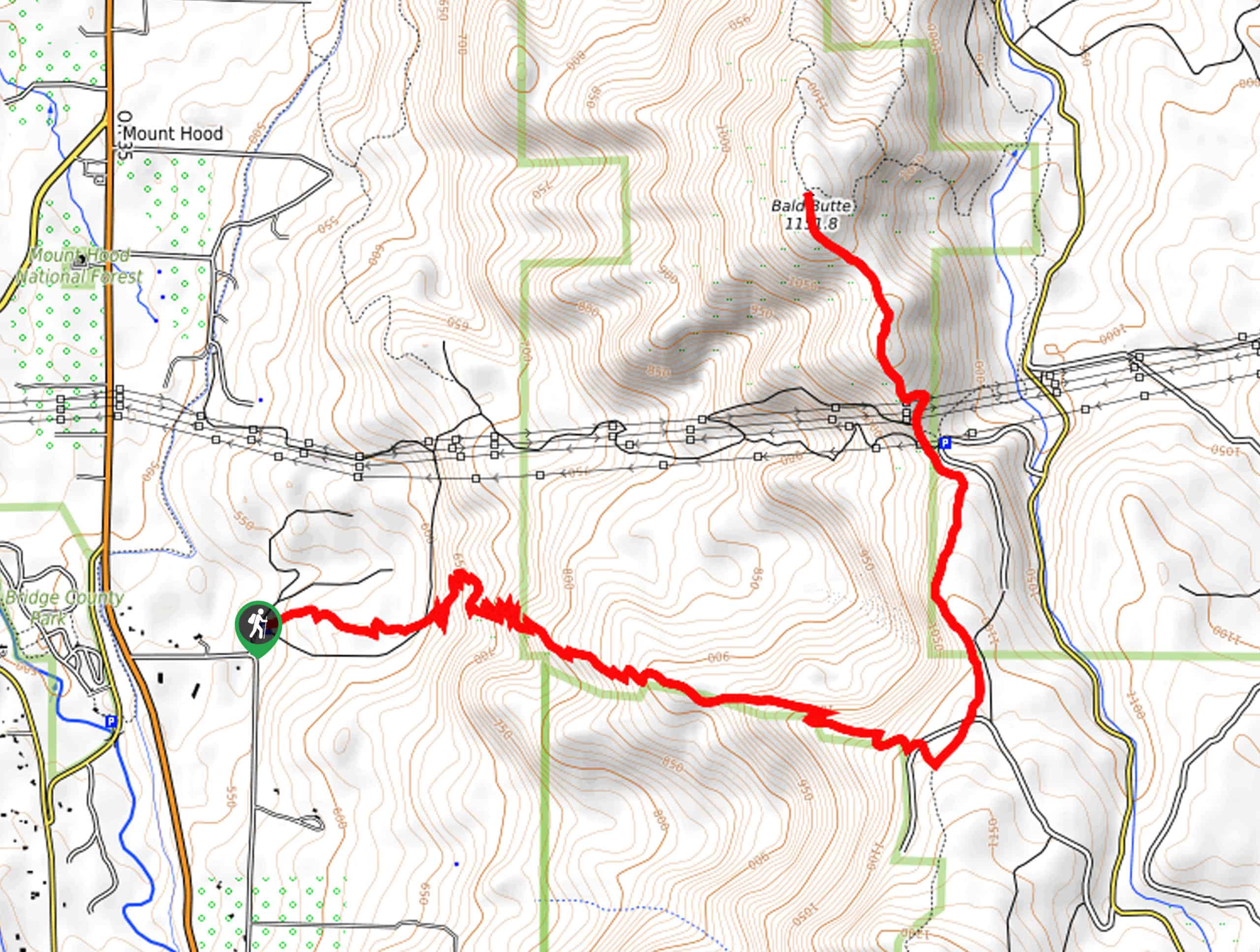
Bald Butte Trail
The Bald Butte Trail is a wonderful outdoor adventure that showcases some of the exceptional terrain and beautiful views within…
Comments