Payette Lake Rim Loop Hike
View Photos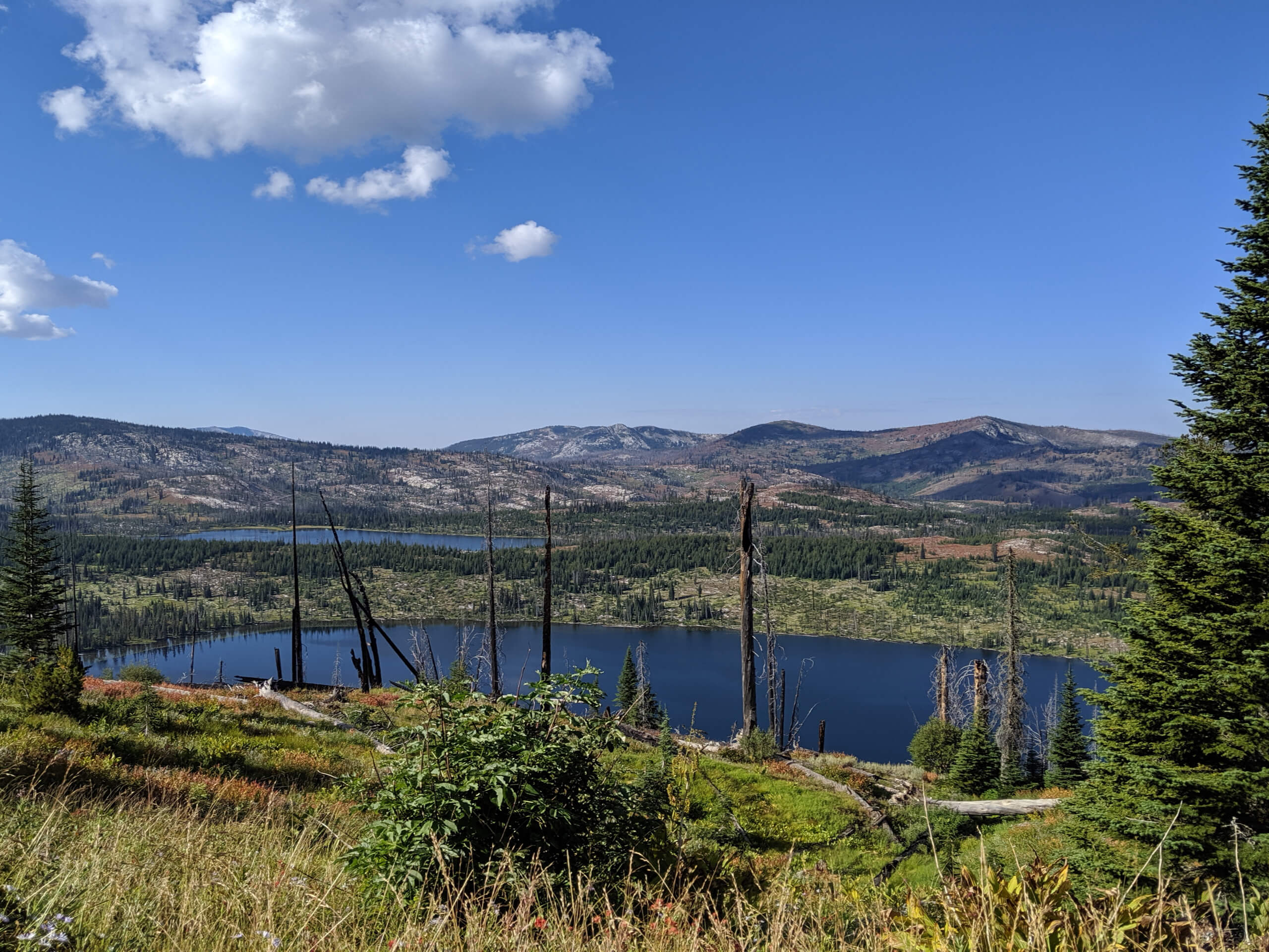
Payette Lake Rim Loop Hike
Difficulty Rating:
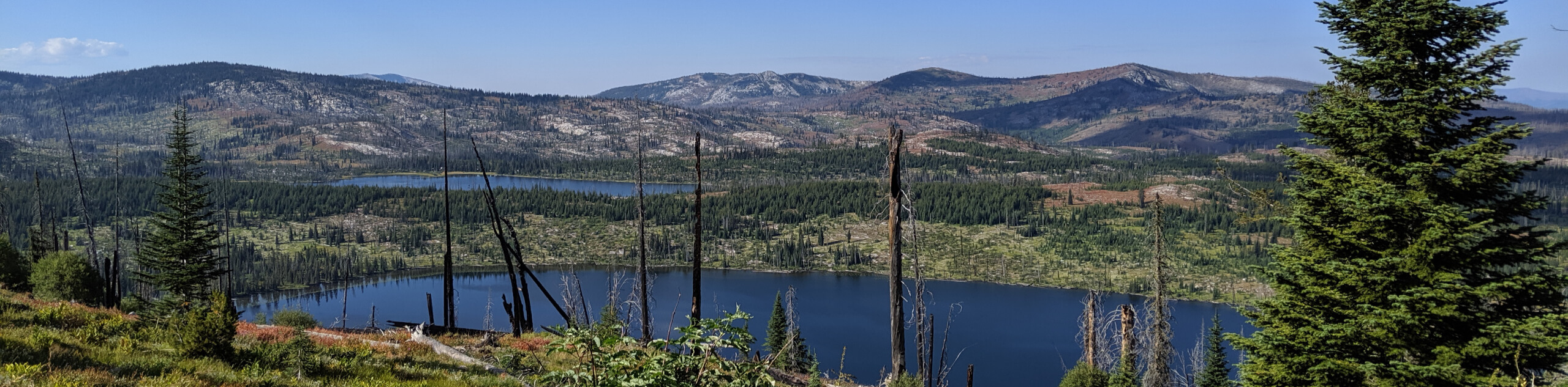
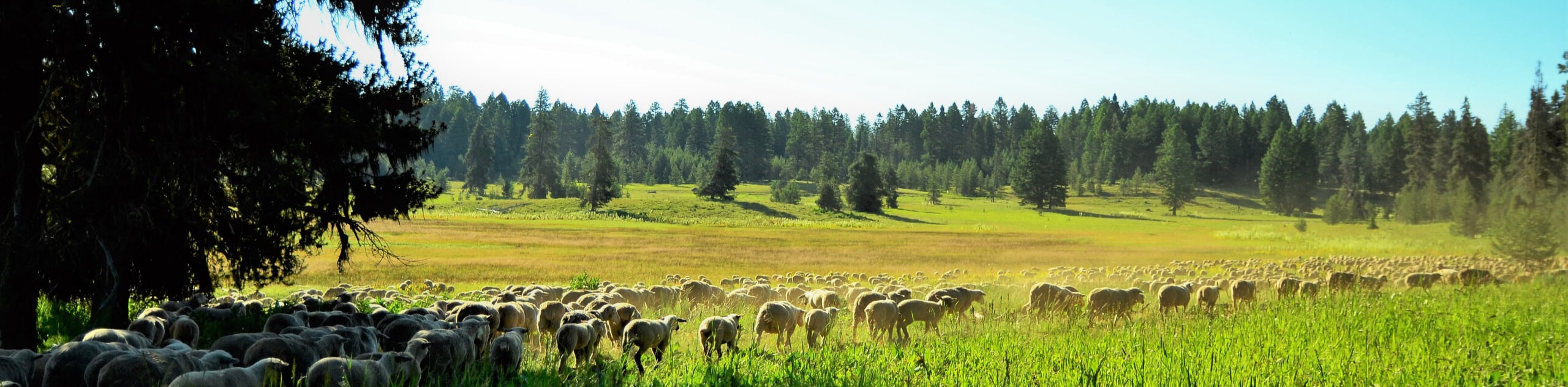
The Payette Lake Rim Loop is a scenic hiking trail near McCall, Idaho, in the Bear Basin Area. Get outside into the fresh air and indulge in breathtaking views of Payette Lake framed by the Lick Creek Mountains. Whether you hike, bike, snowshoe, or cross-country ski, you can find an adventure on this trail.
Getting there
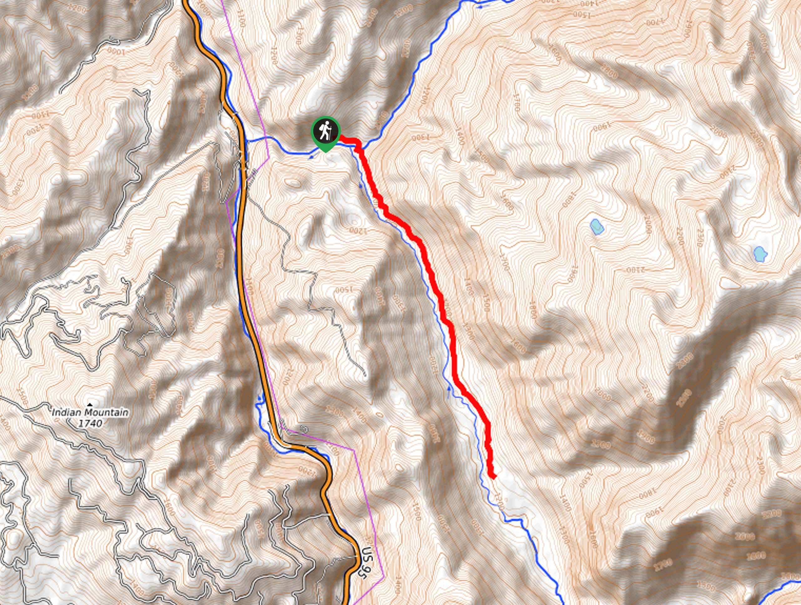
The Payette Lake Rim Loop departs from the Polar Bear Trailhead off Bear Basin Road.

About
| Backcountry Campground | No |
| When to do | Year-round |
| Pets allowed | Yes - On Leash |
| Family friendly | Older Children only |
| Route Signage | Average |
| Crowd Levels | Moderate |
| Route Type | Lollipop |
Payette Lake Rim Loop Hike
Elevation Graph
Weather
Payette Lake Rim Loop Hike Description
The Payette Lake Rim Loop is a favorite amongst locals and visitors alike. Conveniently located and impressively scenic, this lovely route is hard to beat. Explore a swathe of wilderness occupied by lush pines, spruce, aspens, and an array of wildflowers. Offering great birding and wildlife viewing opportunities, there is no shortage of scenery to indulge in. Note that this route is well-loved and shared with mountain bikers, so sections are rocky and uneven. Note this route is not well-signposted, so use the trail GPS.
Your adventure along the Payette Lake Rim Loop begins from the Polar Bear Trailhead. Setting out from here, you will follow the Polar Bear Road southeast into the forestlands. Soon after your departure, you will reach a junction; veer left here onto the unmarked trail. Using the trail GPS, you will be guided north northeastward along the rim above Payette Lake. After some hiking, you will divert left onto another path up to a ridge that boasts great views of the lake below. Continue hiking north, and the trail GPS will eventually redirect you east and back down to the Payette Lake Rim Trail.
Beyond this point, you will be guided south along the rim overlooking the lake and the bounding granite crest. Ultimately the trail will reconnect with the initial segment of the trail you traveled. To get back to the trailhead, simply retrace your footing along the route.
Similar hikes to the Payette Lake Rim Loop Hike hike
Hard Creek Falls Hike
The Hard Creek Falls Hike would make a great addition to anyone's Payette National Forest hiking itinerary. This lovely route…
Rapid Lake Trail
Discover the beauty of Idaho’s high country on the Rapid Lake Trail. This beautiful adventure explores a myriad of shimmering…
Bear Basin Grand Traverse Loop Hike
The Bear Basin Grand Traverse Loop Hike is a wonderful adventure found within the network of trails in the Bear…
Comments