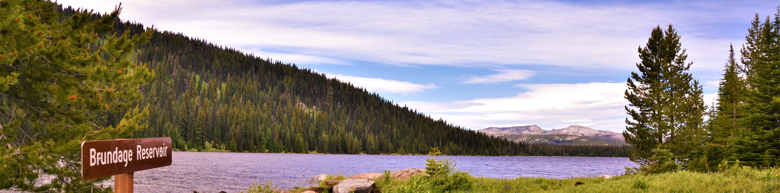
Brundage Mountain Lookout Tower Loop Hike
View Photos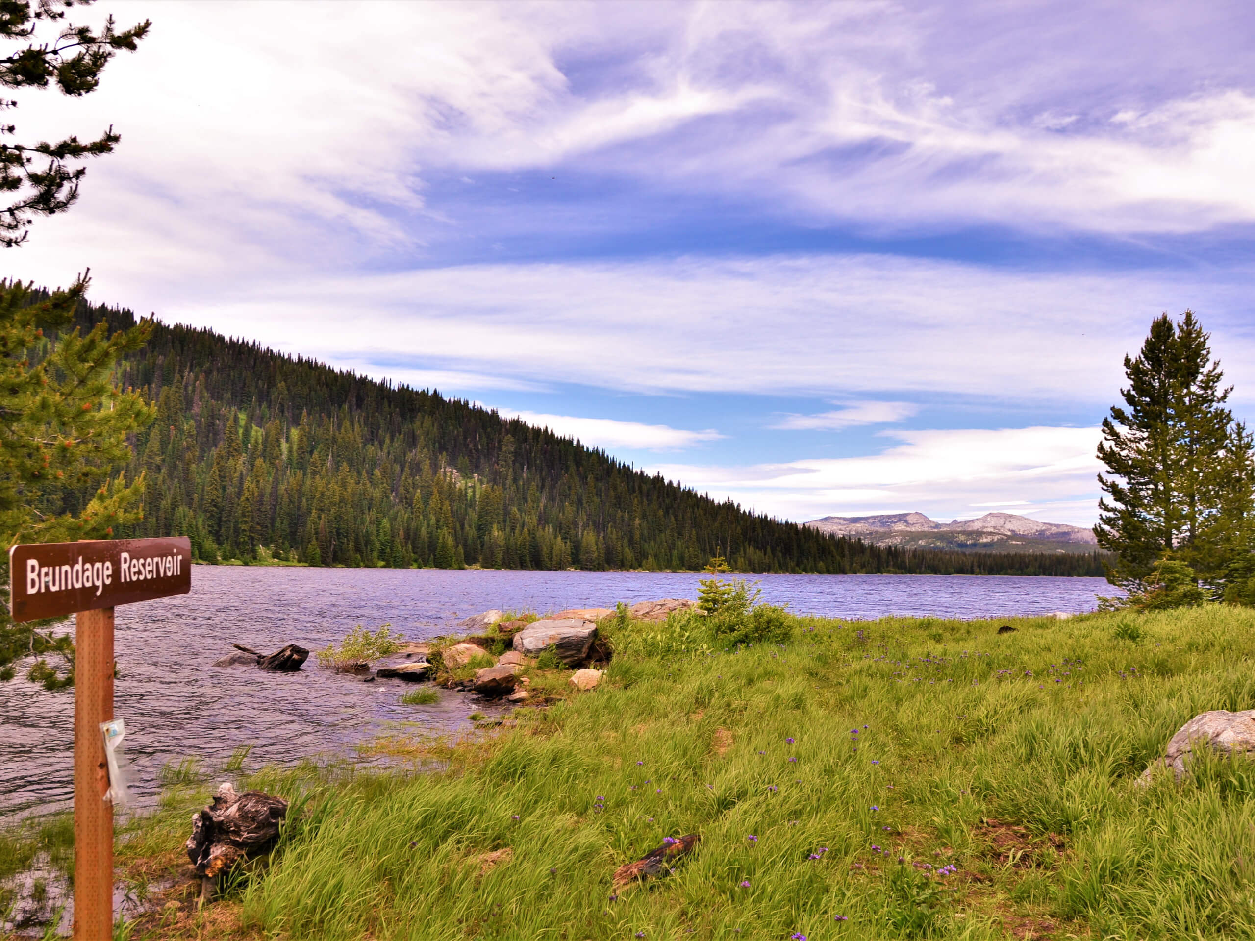
Brundage Mountain Lookout Tower Loop Hike
Difficulty Rating:
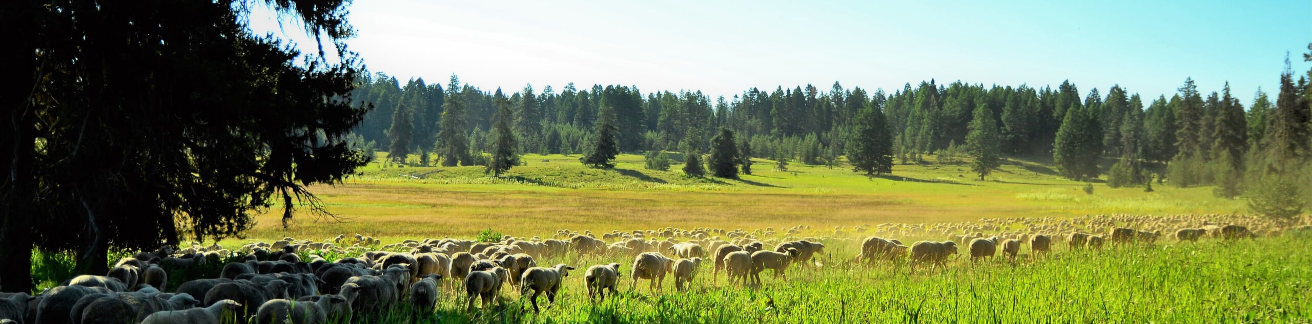
A popular ski resort in the winter, Brundage Mountain transforms into an epic mountain biking and hiking oasis after the snow melts. Hiking the Brundage Mountain Lookout Tower Loop Hike affords a great time and incredible views of New Meadows, Adams County, the Snake River, Payette Lake, and more.
Getting there
The Brundage Mountain Lookout Tower Loop Hike departs from the Ski Patrol Cabin which is accessed via the National Forest Service Road 456.

About
| Backcountry Campground | No |
| When to do | April-October |
| Pets allowed | Yes - On Leash |
| Family friendly | Yes |
| Route Signage | Average |
| Crowd Levels | Low |
| Route Type | Circuit |
Brundage Mountain Lookout Tower Loop Hike
Elevation Graph
Weather
Brundage Mountain Lookout Tower Loop Hike Description
Get out into the fresh air and indulge yourself with spellbinding scenery along the Brundage Mountain Lookout Tower Loop Hike. While heavily trafficked in the winter months, summer excursions to the ski resort offer a more tranquil experience, notably in the early morning and late evening—which are arguably the most photogenic times of the day anyways! Shared with mountain bikers, this route is rough and rugged, so make sure you wear a sturdy pair of footwear to avoid a rolled ankle. Note: weather conditions at the summit are often windy and cold, so we suggest dressing in layers as insurance against varying conditions. Don’t forget to download the trail GPS; the route is not well signposted.
Sometimes all you need is a short walk with stunning scenery, and the Brundage Mountain Lookout Tower Loop delivers just that. Meander along the meadow cloaked mountaintop and pine groves, reveling the 360-degree views along the way! Explore the historic Brundage Mountain Lookout Tower that was built in 1914, in addition to the current, active overlook. Boating scenes of blooming wildflowers and breathtaking views of the Idaho Mountains, Payette Lake, and nearby cities, so you’ll want to bring your camera along on this hike! While this route is family-friendly and relatively easy-going, it is important to be mindful of speedy bikers passing by!
Embark on your adventure along the Brundage Mountain Lookout Tower Loop from the Ski Patrol Cabin off the South Lodge Lane. Setting out from here, you will pass the Bluebird Express Chairlift before beginning your hike heading southwardly. Wandering along the Lookout Trail, you will be granted expansive vistas of the Lick Creek Range, McCall, and Payette Lake in the west. After some hiking, you will merge onto South Lodge Lane, passing the Active Brundage Mountain Lookout Tower. From here, you will briefly walk along the Brundage Lookout Road before reconnecting with the South Lodge Lane.
Meandering beneath the Lakeview Lift, you will be redirected north along the Upper Elk Trail. This route is more shaded, offering a great retreat from the beating sun or wind. Passing several ski trails, you will be rewarded with impressive views down the mountain and into New Meadows. Soon the route will travel beneath the Centennial Lift, signaling the near end of your adventure. At the following junction, veer right, and you will be diverted onto the High Voltage Trail. Take the time to marvel at the beautiful scenery and explore the Historic Lookout Residence. You will ultimately complete the circuit when you return to the Ski Patrol Cabin.
Trail Highlights
Brundage Mountain
Brundage Mountain is a popular ski resort that looms above McCall, Idaho. Rising 7640ft, this mountain offers epic alpine skiing recreation opportunities in the winter, and in the summer, the summit transforms into a mountain biking and hiking haven!
Frequently Asked Questions
How far is Brundage from McCall?
Brundage Mountain is located about 8.0mi away from McCall, Idaho.
How tall is Brundage Mountain?
Brundage Mountain has a summit elevation of 7640ft.
Insider Hints
Bring your camera, the scenery is picture-perfect
Be mindful of mountain bikers passing by
Dress in layers as insurance against changing conditions
The terrain is rocky and uneven, so mind your footing
If the Forest Service Road gate is closed, you will have to park and walk up to the Ski Patrol Cabin
Similar hikes to the Brundage Mountain Lookout Tower Loop Hike hike
Hard Creek Falls Hike
The Hard Creek Falls Hike would make a great addition to anyone's Payette National Forest hiking itinerary. This lovely route…
Rapid Lake Trail
Discover the beauty of Idaho’s high country on the Rapid Lake Trail. This beautiful adventure explores a myriad of shimmering…
Bear Basin Grand Traverse Loop Hike
The Bear Basin Grand Traverse Loop Hike is a wonderful adventure found within the network of trails in the Bear…
Comments