
Dutton Creek Trail
View Photos
Dutton Creek Trail
Difficulty Rating:
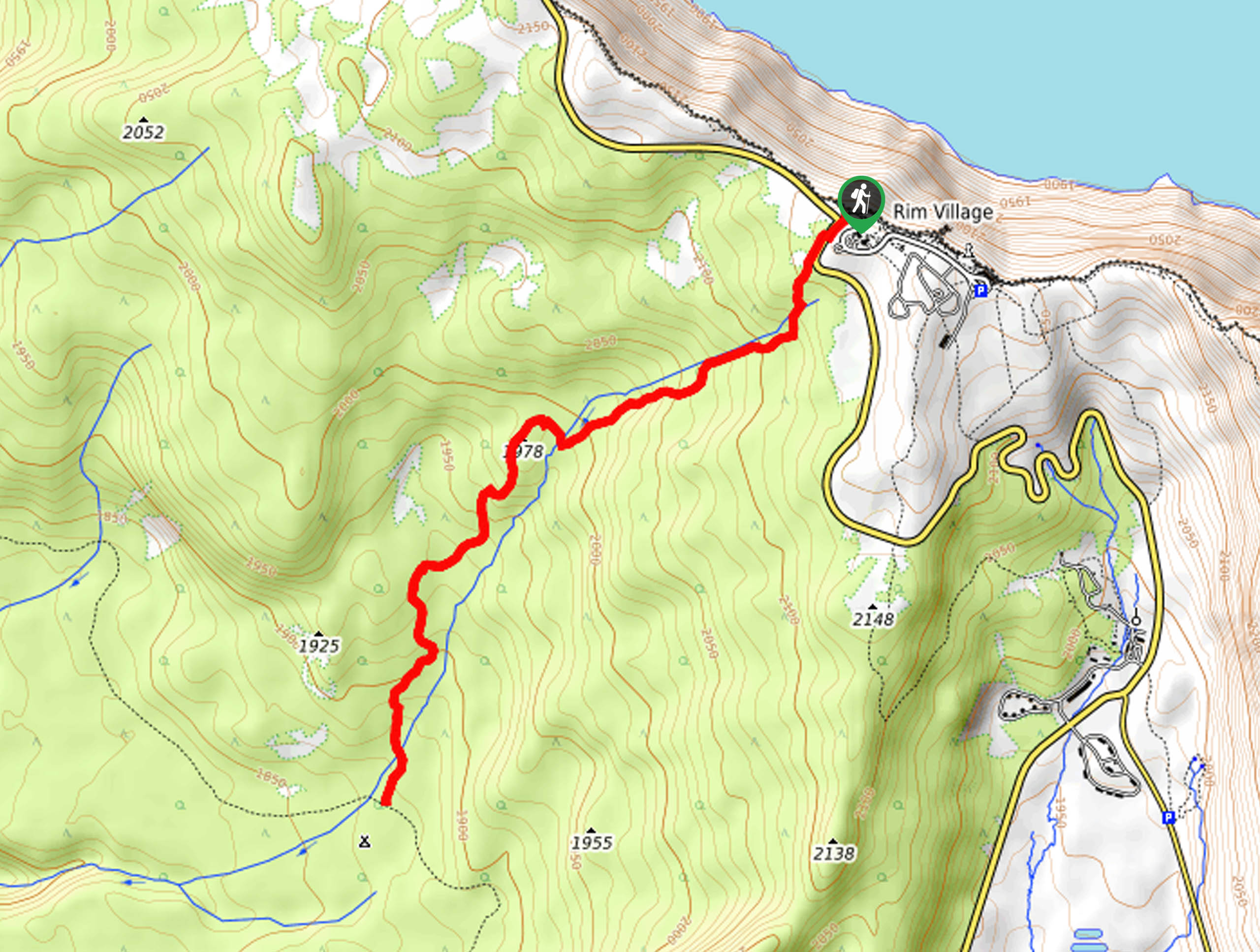
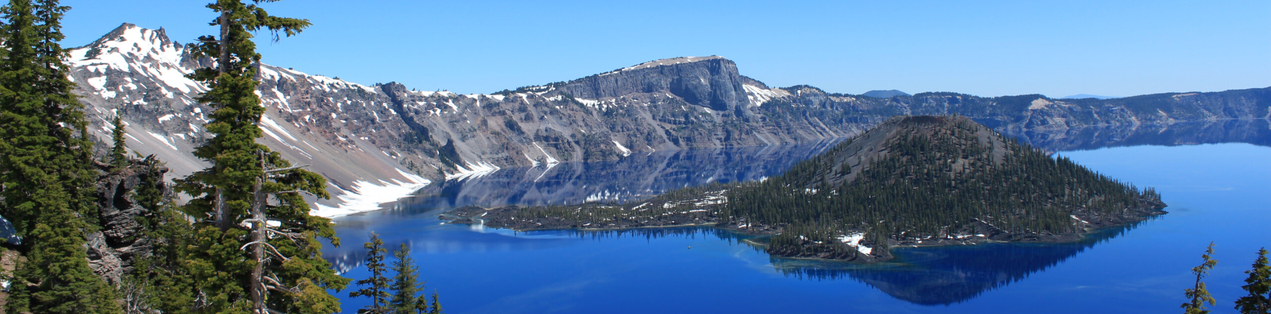
Dutton Creek Trail is a hiking trail that starts from the Rim Village at Crater Lake National Park. This hike leads you along its namesake creek, enjoying mountain views and a peaceful forest. This route reaches its turnaround point at the PCT but it can be hiked as a shorter adventure if needed. Expect light traffic and moderate difficulty.
Getting there
The trailhead for Dutton Creek Trail is on W Rim Drive.

About
| Backcountry Campground | No |
| When to do | July-September |
| Pets allowed | No |
| Family friendly | Yes |
| Route Signage | Average |
| Crowd Levels | Low |
| Route Type | Out and back |
Dutton Creek Trail
Elevation Graph
Weather
Dutton Creek Trail Description
Dutton Creek Trail begins and ends at the crater edge in Crater Lake National Park, traveling southwest to its turnaround point where it meets the PCT. Note that on some maps, this route is marked as the PCT as well. It’s rated as moderately difficult and is suitable for strong beginners and better. Expect to see few, if any, fellow hikers on this trail.
Hikers who don’t want to or can’t complete the entire hike can turn around at any point–there isn’t a distinct viewpoint at the turnaround point, so you won’t miss too much by tailoring your distance. Note that the creeks on the route tend to dry up in the summer, so you should come prepared with the water you’ll need for the duration of the hike.
From the trailhead, take the PCT/Dutton Creek Trail southwest to Dutton Creek. Follow the creek as the trail makes its way down through a pretty cleft in the hillside. The route ends at the T-junction, from where you can turn around and retrace your steps to the trailhead.
Similar hikes to the Dutton Creek Trail hike
Raven Trail
Raven Trail travels from the Crater Lake Lodge on the edge of Crater Lake through the trees along a ridge.…
PCT to Pumice Flat Trail
PCT to Pumice Flat Trail is a route that connects–you guessed it–the Pacific Crest Trail with Pumice Flats Trail in…
Fumarole Bay Trail
Fumarole Bay Trail is a short hike along the southwestern coast of Wizard Island in Crater Lake. If you’ve ferried…
Comments