

Fairy Gates Trail
View PhotosFairy Gates Trail
Difficulty Rating:
The Rose Valley Falls Hike boasts an enchanting experience in San Francisco. Explore the Mount Sutro Open Space Reserve’s nook of wilderness, escaping the busyness of the encompassing urban setting. As you wander, be sure to keep an eye out for the fairy houses hidden along the path.
Getting there
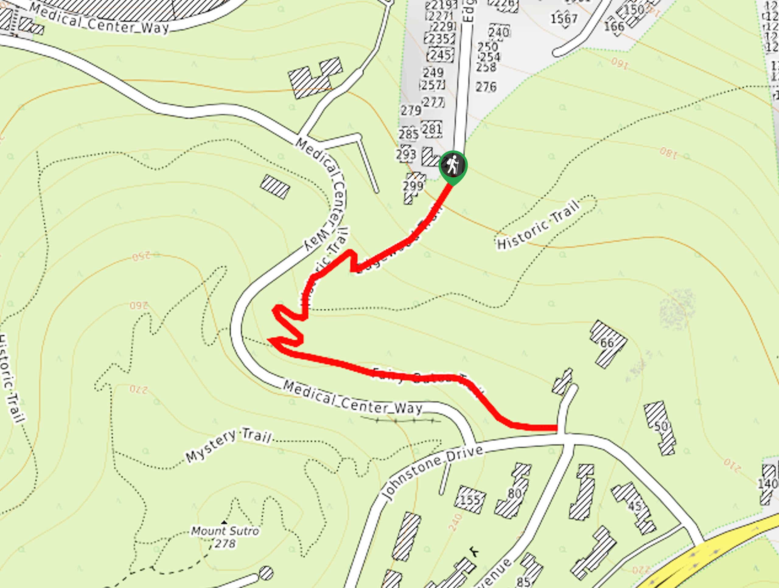
The Fairy Gates Trail departs from the Edgewood Trailhead off Edgewood Road.
About
| Backcountry Campground | No |
| When to do | Year-round |
| Pets allowed | Yes - On Leash |
| Family friendly | Yes |
| Route Signage | Average |
| Crowd Levels | High |
| Route Type | Out and back |
Fairy Gates Trail
Elevation Graph
Weather
Fairy Gates Trail Description
Transporting you to a magical world of fairies and enchanting woodlands, the Fairy Gates Hike boasts an unparalleled experience in San Francisco. The whole family can enjoy this short but scenic adventure near UCSF. Indulge in the beauty and charm of the lush forestlands without having to leave city limits! Note this area is highly trafficked, so expect to share the trail.
Your adventure along the Fairy Gates Trail begins from the Edgewood Trailhead. Setting out from here, you will be guided southwest along the Edgewood Trail and into the wilderness. Soon after your departure from the trailhead, you will confront an intersection; turn left here onto the Historic Trail. Wander briefly along this route, merging onto the North Ridge Trail. At the following junction, turn left onto the Fairy Gates Trail.
This enchanting trail meanders through the lush wilderness. Enjoy the fresh air and search for the cute fairy houses that line the path. When you ultimately reach the end of the route, turn around and retrace your footing back to the trailhead.
Similar hikes to the Fairy Gates Trail hike

Lobos Creek Valley Path Hike
The Lobos Valley Creek Path Hike is a lovely adventure in Presidio Park that hikers of all skill levels and…

Hippie Hill and Stow Lake Loop Hike
The Hippie Hill and Stow Lake Loop Hike boasts a magical experience in the Golden Gate Park. Explore the city’s…

Cliff House Hike
Indulge yourself in wonderful coastal views along the Cliff House Hike. This lovely shoreline path in the Golden Gate National…


Comments