

Sutro Heights Loop
View PhotosSutro Heights Loop
Difficulty Rating:
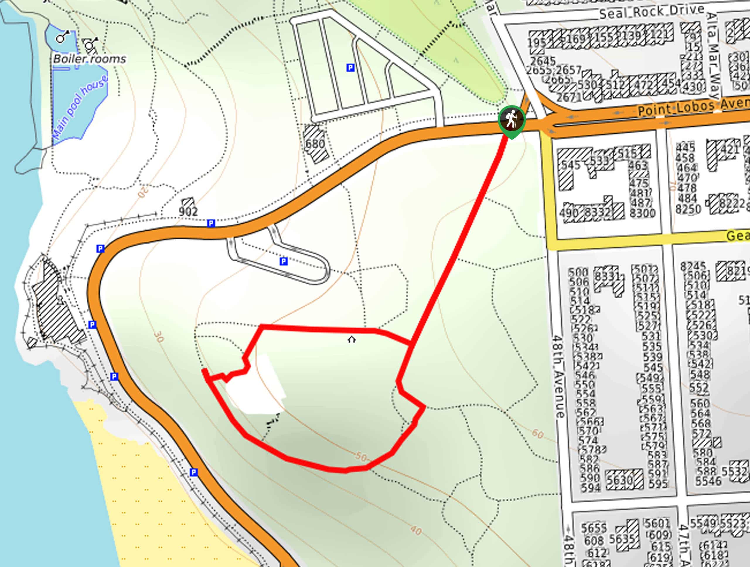
The Sutro Heights Loop is a short and scenic shoreline adventure that offers wonderful views of the ocean and the historic Sutro Baths. Once a privately owned saltwater swimming pool complex, the remains at the site are limited to the main pool along the coast.
Getting there
Access this hike via the trailhead off Point Lobos Avenue.
About
| Backcountry Campground | No |
| When to do | Year-round |
| Pets allowed | Yes - On Leash |
| Family friendly | Yes |
| Route Signage | Poor |
| Crowd Levels | High |
| Route Type | Lollipop |
Sutro Heights Loop
Elevation Graph
Weather
Sutro Heights Loop Description
Immerse yourself in the history of the Sutro Baths and indulge in the beauty of the California coast along this hike. This wonderful adventure offers a diversity of scenery to please explorers of all sorts. Hikers of all skill levels and ages can wander this route and revel in the views, though it is important to come prepared to share the trail. Those seeking a more secluded adventure are encouraged to head out in the early morning. Note the trail GPS is not necessary but perhaps useful.
Setting out from the trailhead off Point Lobos Road, follow the path southwest through the coastal prairie. In the spring, you will enjoy the scene of the vibrant wildflowers that line the path as you near the coastal bluff. Eventually, you will encounter an intersection, keep left here, and begin your trek to the Sutro Heights Parapet. Revel in the impressive views of the surging surf crashing onto Ocean Beach below.
Admire the wonderful scenery, then continue your trek. You will ultimately return to the initial junction, where you will turn left and retrace your footing back to the trailhead.
Similar hikes to the Sutro Heights Loop hike
Lobos Creek Valley Path Hike
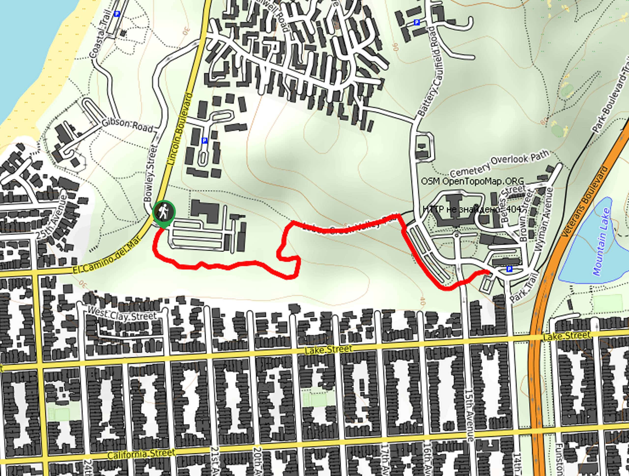
The Lobos Valley Creek Path Hike is a lovely adventure in Presidio Park that hikers of all skill levels and…
Hippie Hill and Stow Lake Loop Hike
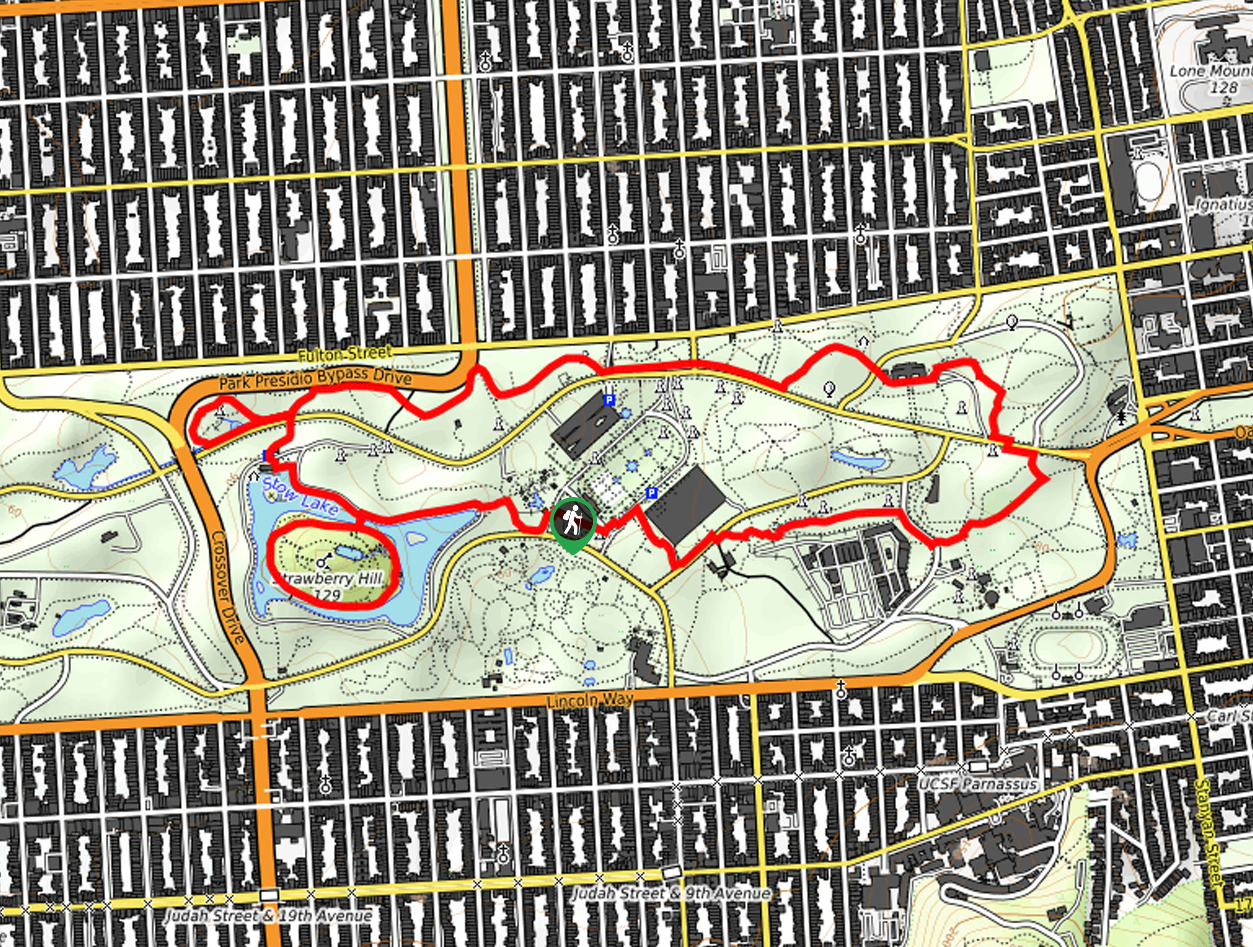
The Hippie Hill and Stow Lake Loop Hike boasts a magical experience in the Golden Gate Park. Explore the city’s…
Fairy Gates Trail
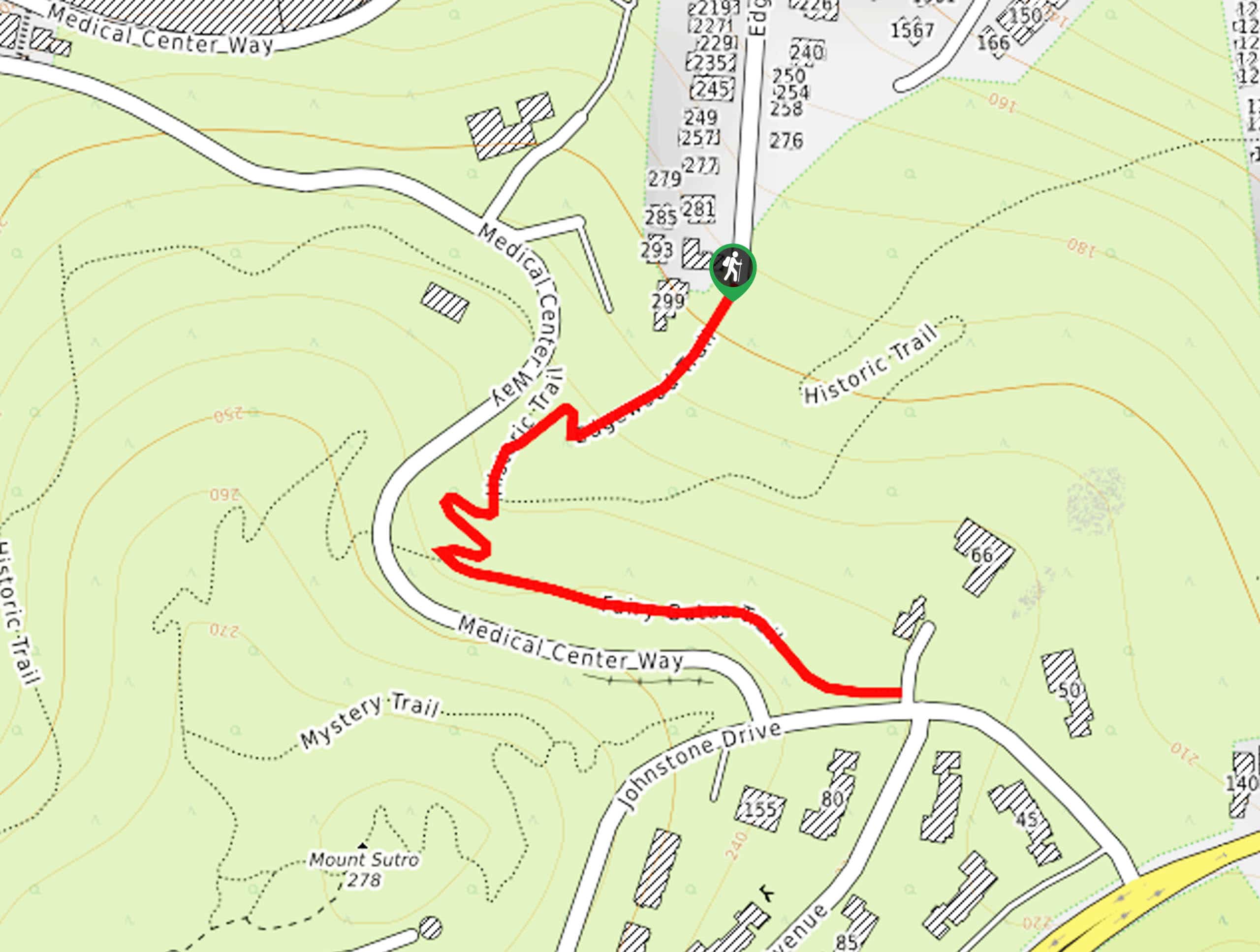
The Rose Valley Falls Hike boasts an enchanting experience in San Francisco. Explore the Mount Sutro Open Space Reserve’s nook…


Comments