

Rodeo Beach Trail
View PhotosRodeo Beach Trail
Difficulty Rating:
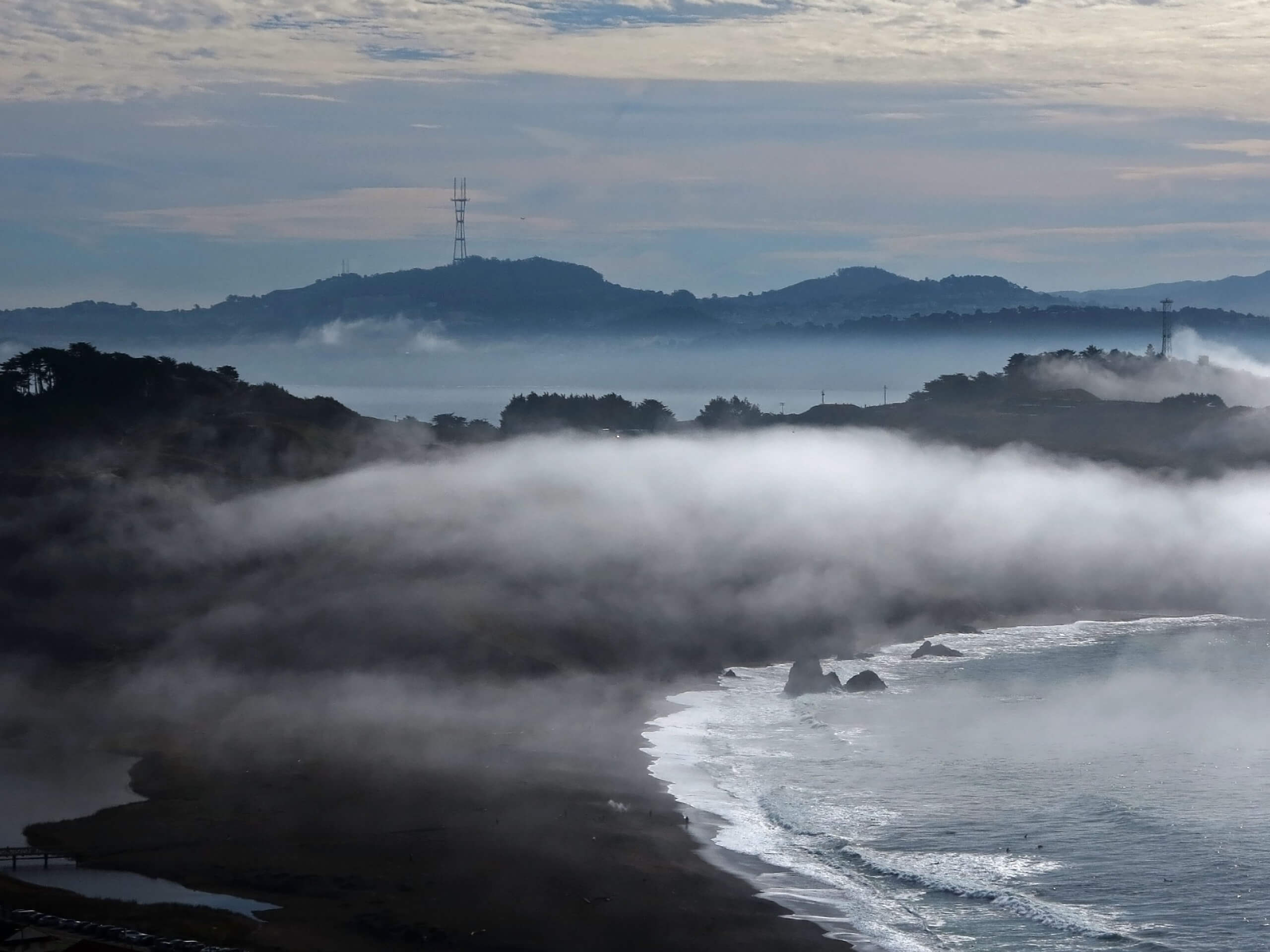
The Rodeo Beach Trail is a lovely shoreline walk along the Pacific that boasts wonderful maritime views. Perfect for dog-owners and suffers, you and your four-legged friend can wander along the pebbly shoreline just a rock’s throw away from San Francisco.
Getting there
Access this hike via the trailhead off Mitchell Road.
About
| Backcountry Campground | No |
| When to do | Year-round |
| Pets allowed | Yes - On Leash |
| Family friendly | Yes |
| Route Signage | Poor |
| Crowd Levels | High |
| Route Type | Out and back |
Rodeo Beach Trail
Elevation Graph
Weather
Rodeo Beach Trail Description
Let the salty air fill your lungs as you walk along the Rodeo Beach Trail. This scenic adventure boasts countless photo opportunities and outdoor pursuits—hike, walk, swim, or surf. This coast boasts wild and windy conditions, so dress in layers as insurance against changing conditions. Additionally, the route is entirely exposed—wear SPF and a sunhat to avoid overexposure!
When you are ready to roll, depart on your adventure along the Rodeo Beach Trail from the trailhead off Mitchell Road. From here, you will be led southwest above Rodeo Lagoon before being redirected southeast along the pebbly beach. As you wander along the rocky beach, enjoy scenes of surfers tackling the crashing waves. If you get hot along your walk, just hop into the water for a refreshing rejuvenation!
You will ultimately reach the route’s end at South Rodeo Beach. Explore the more sequestered, charming beach before retracing your footing back to the trailhead.
Similar hikes to the Rodeo Beach Trail hike

Lobos Creek Valley Path Hike
The Lobos Valley Creek Path Hike is a lovely adventure in Presidio Park that hikers of all skill levels and…

Hippie Hill and Stow Lake Loop Hike
The Hippie Hill and Stow Lake Loop Hike boasts a magical experience in the Golden Gate Park. Explore the city’s…

Fairy Gates Trail
The Rose Valley Falls Hike boasts an enchanting experience in San Francisco. Explore the Mount Sutro Open Space Reserve’s nook…


Comments