Mori Point Hike
View Photos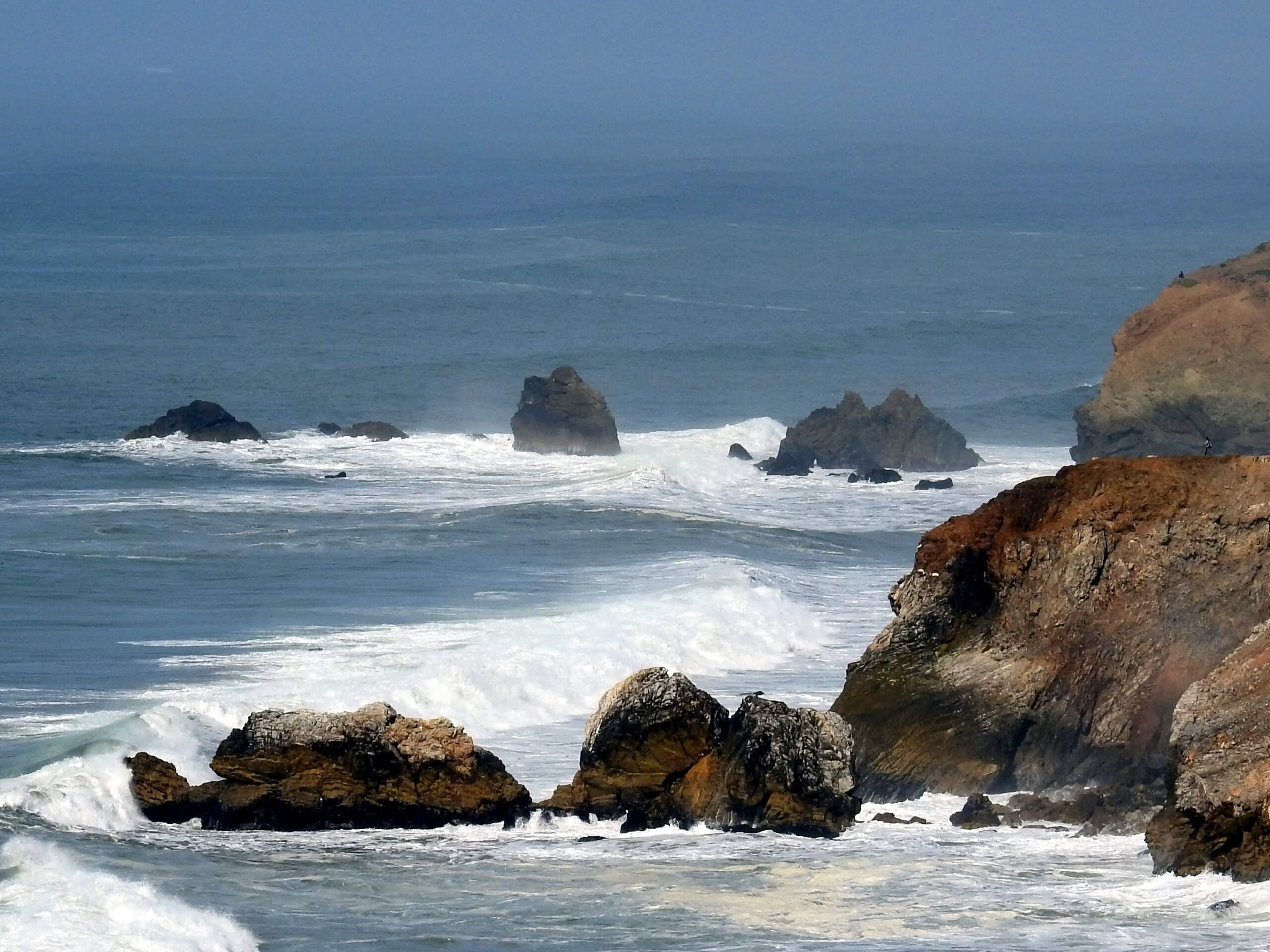
Mori Point Hike
Difficulty Rating:
The Mori Point Hike is a family-friendly adventure in Pacifica that boasts an unforgettable experience. Explore the bustling Pacifica State Beach before escaping the crowds into the fragile coastal prairies that overlook the surf. We love this scenic hike, and you will too.
Getting there
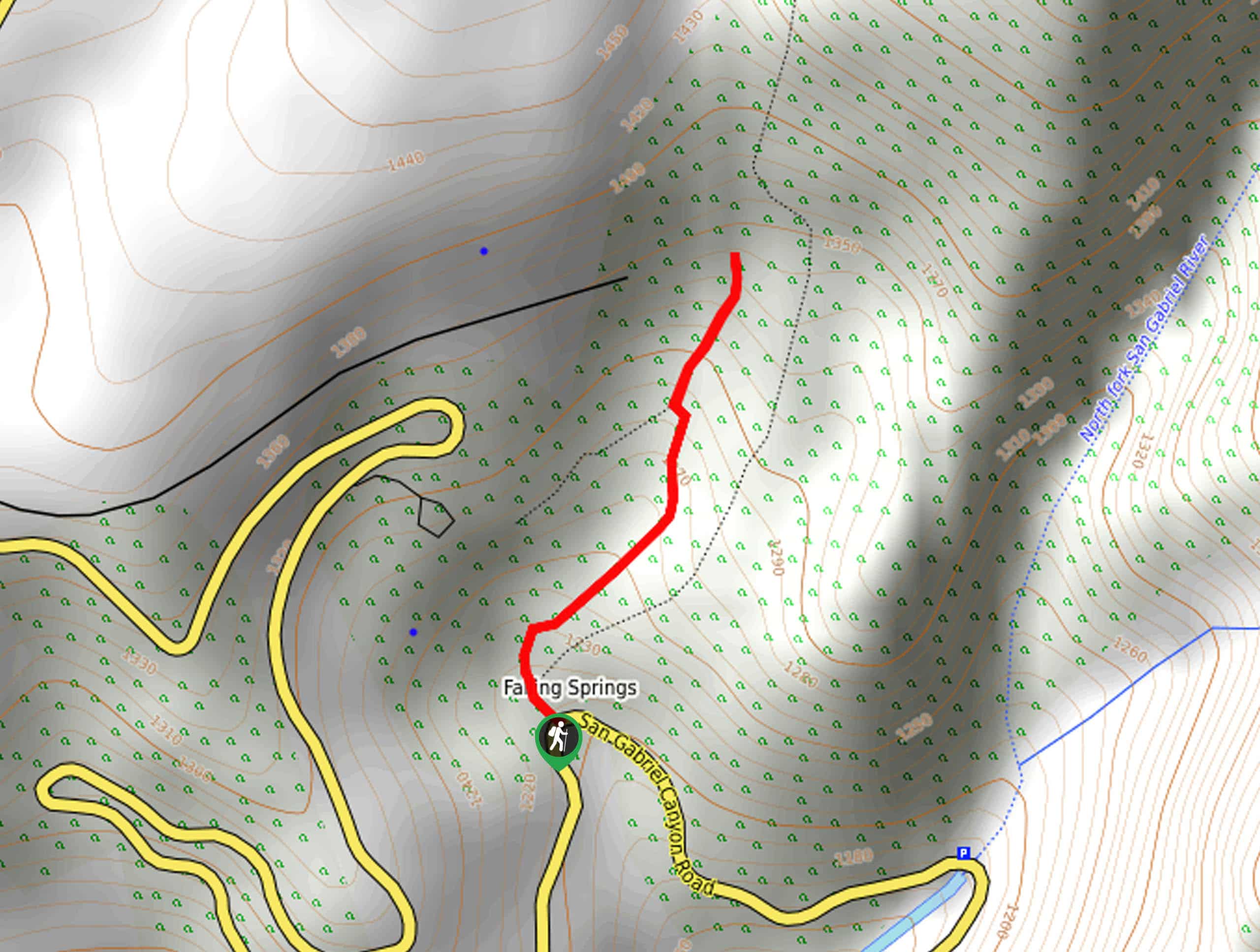
The Mori Point Hike is accessed via the picnic area and parking lot off Beach Boulevard in Pacifica, CA.

About
| Backcountry Campground | No |
| When to do | Year-round |
| Pets allowed | Yes - On Leash |
| Family friendly | Yes |
| Route Signage | Good |
| Crowd Levels | Extreme |
| Route Type | Out and back |
Mori Point Hike
Elevation Graph
Weather
Mori Point Hike Description
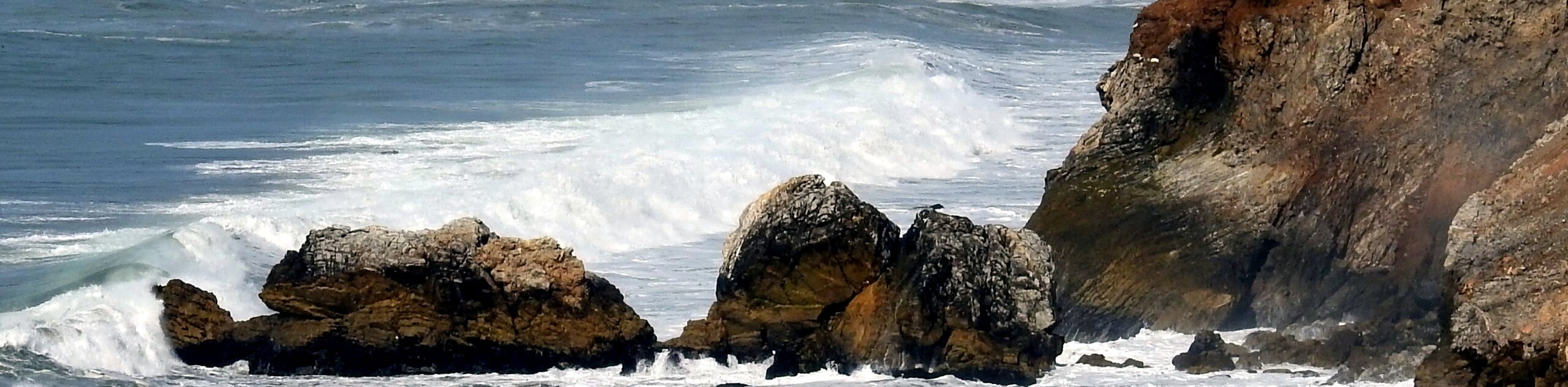
Offering unrivaled views of the Pacific and the dramatic coastline, the Mori Point Hike has become a revered adventure near San Francisco. Attracting plenty of city escapees, this route sees plenty of traffic on the weekends, so those seeking a more tranquil experience are encouraged to explore the Mori Point Trail on weekdays. Though family-friendly, it is important to note that the stairs up the headlands are tireless, so pack plenty of water and wear sun protection as the trail is exposed. Additionally, this coastal trail sees extreme conditions—notably wind and fog, so dress in layers as insurance against varying weather. Finally, maintain on the established path at all times as the headlands are fragile.
Indulge yourself with post-card perfect scenery along the Point Mori Trail. This incredible day-hike offers a diversity of scenery and numerous outdoor pursuits to satiate your yearning for adventure. Wander along Pacifica Beach and try your hand at some surfing before tackling the ascent up to the coastal bluffs. This route is also dog-friendly, so your four-legged friend can join you—yay! When exploring in the spring you can enjoy an abundance of wildflowers that adorn the coastal prairies that boast a whimsical ambiance. Before heading out on this trail, ensure your camera is charged!
Setting out from the picnic area and parking lot off Beach Boulevard, the Mori Point Hike travels south along the road, turning right onto E Clarendon Road. At the route’s end, turn left, merging onto the Promenade Trail on Pacifica Beach. This section of the hike wanders along the sandy beach—offering views of surfers and swimmers enjoying the waves and even more people lounging on the sandy beach. Continue trekking south, and the stairs up the coastal headlands will come into view—don’t be discouraged; the panoramas from atop the cliff prove well worth the sweat! Notice Laguna Salada and the Sharp Park Gold course in the east as you near the bluff.
Once you ultimately reach the trail’s end, connect with the Bootlegger’s Steps. The vertigo-inducing staircase will guide you up the profile of the headlands to an intersection—take breaks as needed. At the junction, turn right onto the Headlands Trail, which will lead you down to Mori Point, a scenic overlook of the ocean, the bounding headlands, and the pristine beaches. Admire the impeccable scenery of the surf crashing on the craggy outcrops below, and on a clear day, you will be treated to distant views of the Farallon Islands. When you are set, retrace your footing up the terrain back to the juncture—this time turning right onto the Bluff Trail.
The Bluff Trail traces the rugged coastline, wandering through the lush coastal prairies often prolific with wildflowers. Though tempting, it is important to maintain on the marred path as the headlands are fragile and can easily break away. Continue as far south as you please, enjoying the picture-perfect maritime scenery and the verdant meadows atop the bluff. We traveled to the following intersection, then turned around and retraced our steps back along the Bluff Trail and down Bootlegger’s Steps to the beach. If time and weather permit, we encourage you to surf at the area’s best beginner surfing beach before heading back to your vehicle.
Trail Highlights
Pacifica State Beach
The Pacific State Beach is located in San Mateo County in California. Otherwise known as the Linda Mar Beach, this seashore is widely regarded as one of the best beginner surfing destinations in the Bay Area. Stretching 0.8mi, the crescent-shaped beach boasts ideal swimming, sunning, and exploring possibilities in addition to wonderful surfing conditions. Fun fact—the World Dog Surfing Championships are held here!
Insider Hints
Grab a sandwich and an iced coffee at Perfect Pour Café after your hike
Expect windy and foggy conditions—dress in layers
Maintain on the established path at all times
Wear sunscreen and a sunhat to avoid overexposure
Keep your pup on leash, the headlands are fragile, and the drop-offs are steep
Catch some waves surfing before or after your trek!
Similar hikes to the Mori Point Hike hike
Bridge to Nowhere via East Fork Trail
The hike to the Bridge to Nowhere via East Fork Trail is a fun little adventure in the Angeles National…
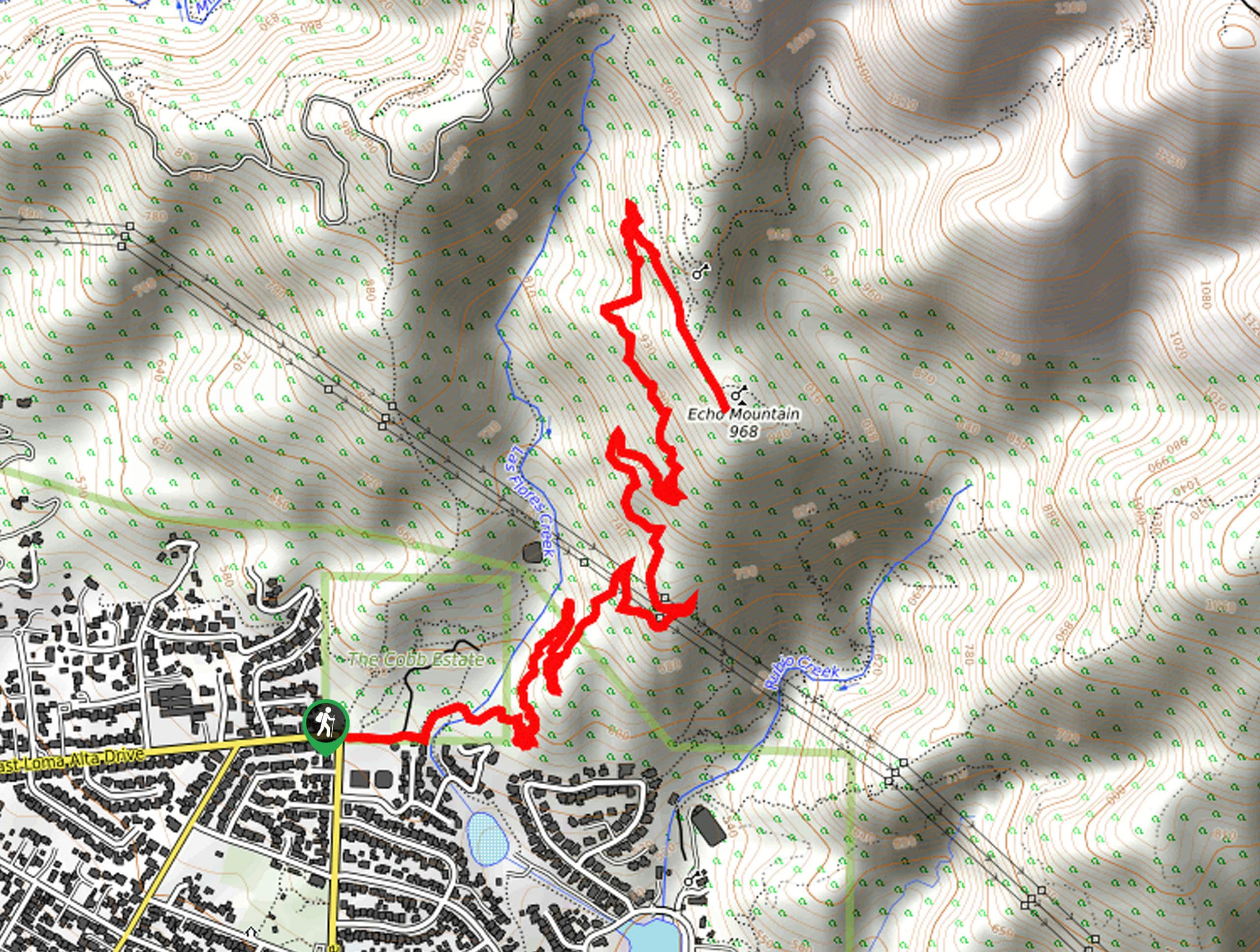
Echo Mountain via Sam Merrill Trail
The Echo Mountain via Sam Merrill Trail is a beautifully scenic adventure in the Angeles National Forest of Southern California…
Lewis Falls Trail
Hiking the Lewis Falls Trail is a spectacular, if fairly short, adventure in the Angeles National Forest that will take…
Comments