
Twin Peaks Trail
View Photos
Twin Peaks Trail
Difficulty Rating:
The Twin Peaks Trail is an iconic San Francisco adventure that visitors and locals alike must explore at least once in their lifetime. Ascend the vertiginous path to the overlooks which boast breathtaking vistas of the Bay Area, including Market Street, the Golden Gate, Alcatraz, Angel Island, and much more.
Getting there
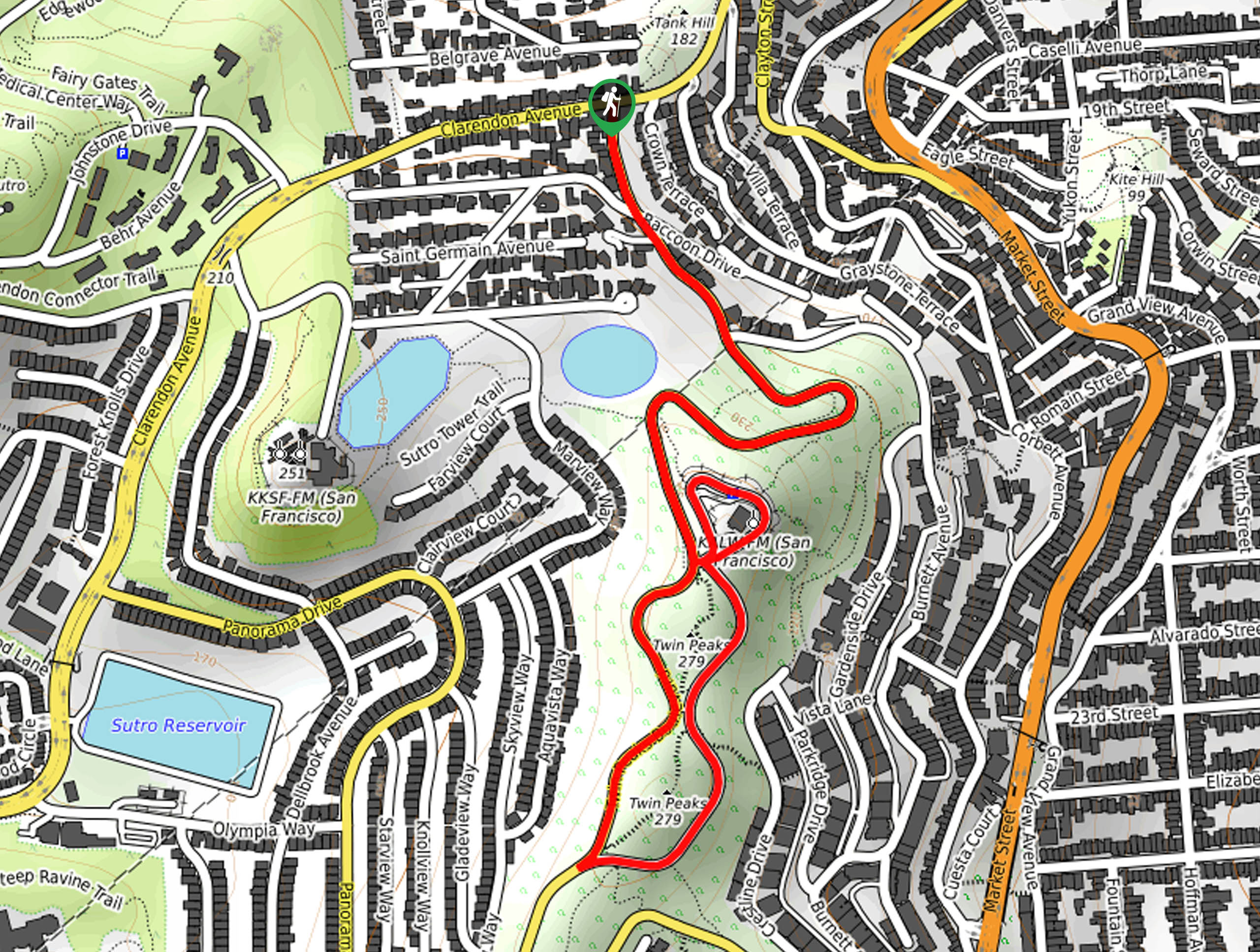
The Twin Peaks Hike is accessed via Clarendon Avenue.

About
| Backcountry Campground | No |
| When to do | Year-round |
| Pets allowed | Yes - On Leash |
| Family friendly | Yes |
| Route Signage | Average |
| Crowd Levels | Extreme |
| Route Type | Lollipop |
Twin Peaks Trail
Elevation Graph
Weather
Twin Peaks Trail Description
The Twin Peaks Trail is a wonderful hike that boasts an unrivaled experience. Wander through a San Francisco neighborhood up into the grass-cloaked mountains. Offering unparalleled views of the Bay Area, this route attracts hundreds of adventurers every day. Those seeking a more tranquil trek are encouraged to head out in the early morning to beat the crowds—and the heat. Note that the path is slippery after rainfall—so exercise careful footing! Additionally, much of this trail travels along a trafficked road, so maintain on the sidewalks when applicable. Note parking is limited and street side.
Don’t miss the opportunity to indulge in the postcard perfect views of the Bay Area—add the Twin Peaks Trail to your adventure itinerary. This wonderful urban excursion can be enjoyed by hikers of all skill levels and ages year-round. Wander through charming San Francisco neighborhoods through grasslands and communities of coastal shrubs up to the mountainside of the two adjacent peaks. Though this route is open daily—we encourage you to head out on a clear day to indulge yourself in the best views. Enjoy the scene of the bustling city, including Market Street, the Golden Gate Bridge, Corona Heights, Mount Diablo, and much more!
Your Twin Peaks Hike adventure begins from the intersection of Clarendon Avenue and Twin Peaks Road. Setting out from here you will wander south along Twin Peaks Road via the sidewalk. Explore the quintessential hilly, San Fran neighborhood, and you will eventually reach an intersection. Keep right here, along Twin Peaks Road. At the following junction, you will continue along the road—though sometimes the gate is closed so you can meander on the roadway if this is the case. Continue climbing up the winding road, and you will ultimately be rerouted south, along the western flank of the mountains.
Before looping northwardly, you will notice the steep wood steps up to the summit of the Twin Peaks—if time permits, we encourage you to climb up. Either way, the panoramas of the Farallon Islands and the bay will astound you. Looping north along the roadway, you will merge onto the footpath that runs parallel to the street. As you travel this route, you will be granted inspiring views of San Francisco and the Golden Gate Bridge. At the trail’s end, veer right and hike along the Christmas Tree Point Road, which offers great vistas of the peaks in the south and Alcatraz and Angel Island in the north. Following the completion of the loop, turn right and retrace your footing along Twin Peaks Road back to your vehicle.
Trail Highlights
Twin Peaks
Twin Peaks are a set of two prominent mountains that tower above San Francisco. Thousands of visitors hike, bike, run or drive to the summit of some 900ft peaks to indulge in the unrivaled vistas of the Bay Area.
Frequently Asked Questions
How long does it take to hike the Twin Peaks Trail?
Hiking the Twin Peaks Trail can take anywhere between 1-1.5hrs.
Is the Twin Peaks Trail difficult?
The Twin Peaks Trail is an easy-moderate hike that ascends some vertiginous terrain to the overlook.
Insider Hints
Do not leave valuables in your car when hiking
Head out in the early morning to beat the crowds
Explore on a clear day to indulge in the epic views
Charge your camera- the vistas are picture-perfect
Dress in layers, the overlook is often windy
Be mindful of slippery terrain after rainfall
Note Twin Peaks Road is subject to traffic closure
Similar hikes to the Twin Peaks Trail hike
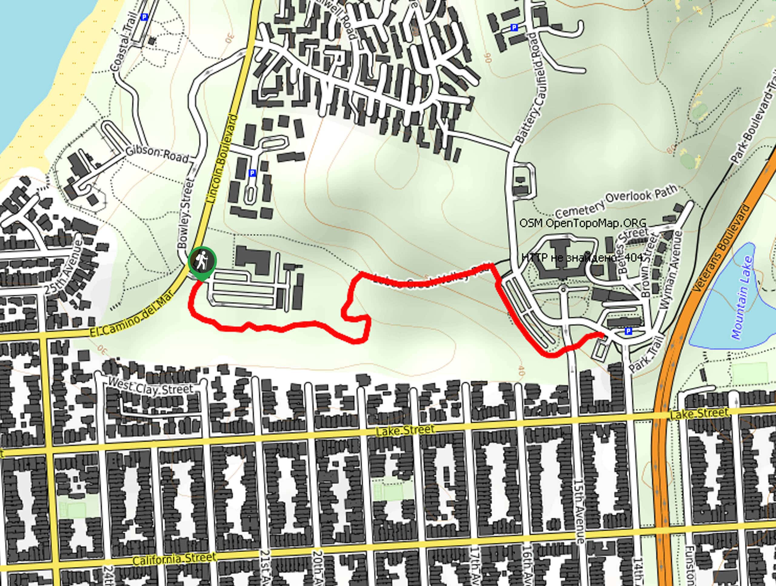
Lobos Creek Valley Path Hike
The Lobos Valley Creek Path Hike is a lovely adventure in Presidio Park that hikers of all skill levels and…
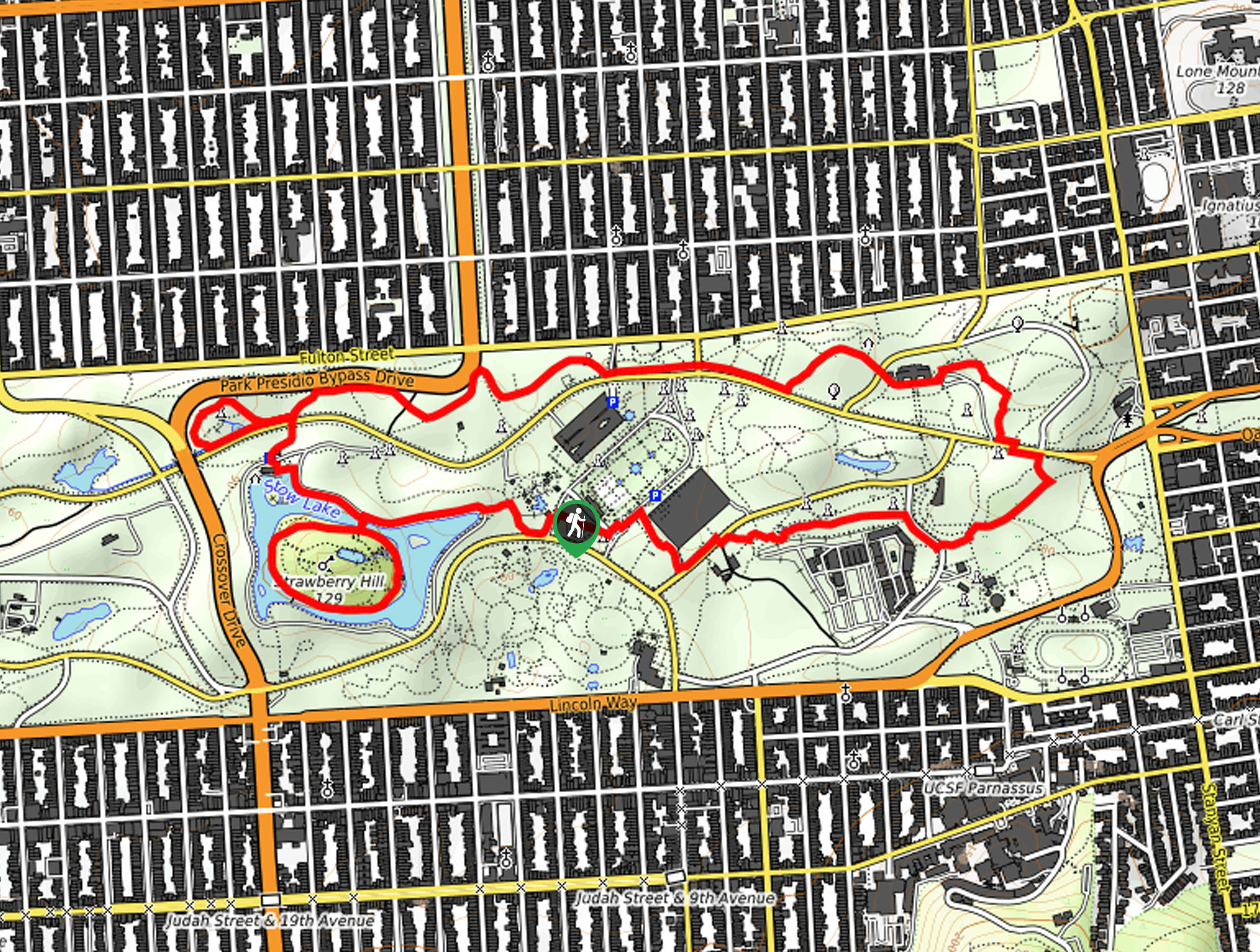
Hippie Hill and Stow Lake Loop Hike
The Hippie Hill and Stow Lake Loop Hike boasts a magical experience in the Golden Gate Park. Explore the city’s…
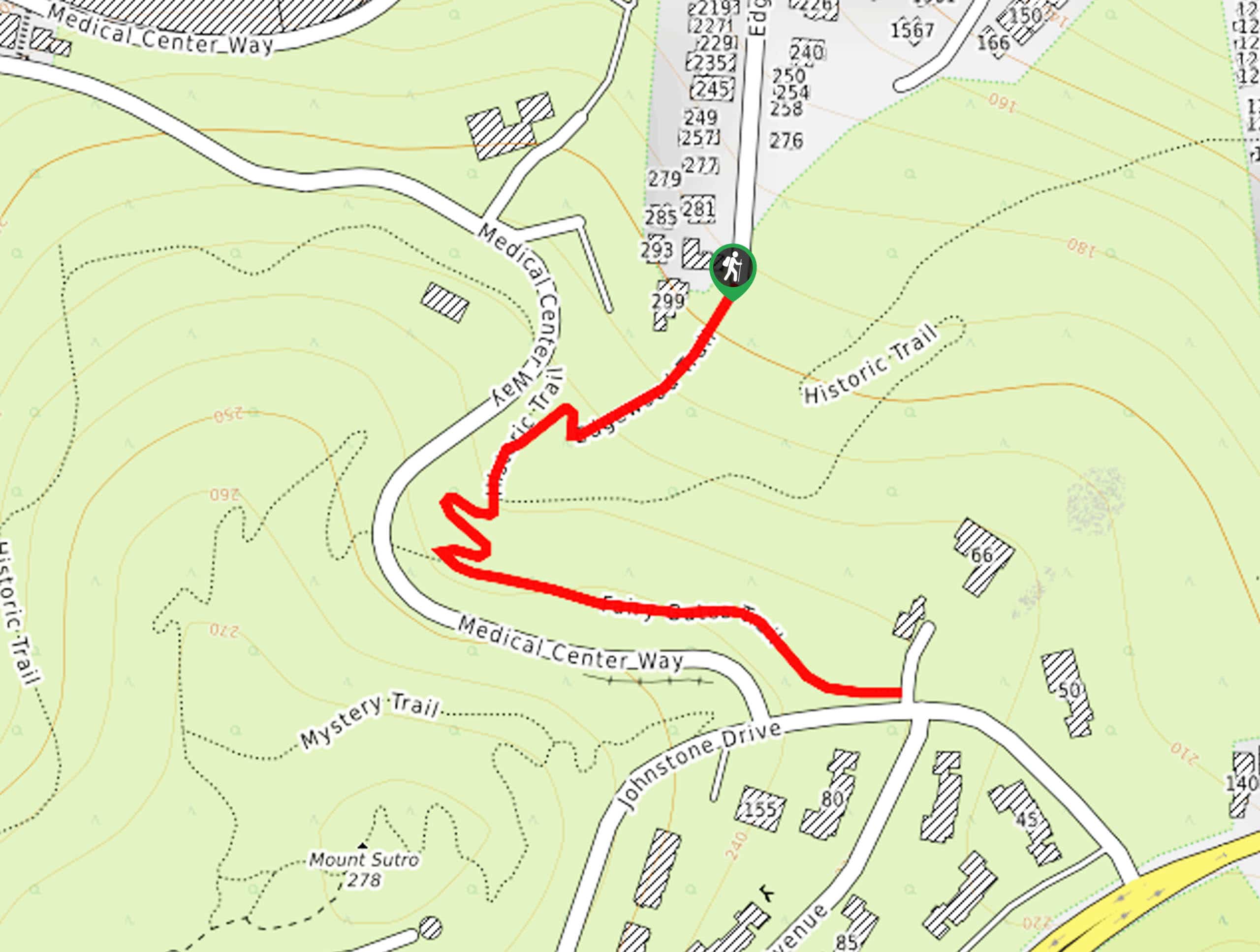
Fairy Gates Trail
The Rose Valley Falls Hike boasts an enchanting experience in San Francisco. Explore the Mount Sutro Open Space Reserve’s nook…
Comments