


Schwalbenwand & Schönwieskopf Hike
View PhotosSchwalbenwand & Schönwieskopf Hike
Difficulty Rating:
The Schwalbenwand & Schönwieskopf hike is a classic Austrian hike! This fantastic trail has you hiking up two peaks, Schwalbenwand and Schönwieskopf. These are some of the most beautiful mountains around Zell am See. With no huts or restaurants on the route, take a nice mountain lunch with you and enjoy your food out in the fresh mountain air. Challenge yourself on this day tour, while enjoying stunning views, encounter marmots and talk to the local mountain cows!
Getting there
Travel to Thumbersbach, the village opposite Zell am See on the other side of the lake. At the center of the village, take the road (Talstraße) up into the valley and follow it until you see the sign for "Berggasthof Mitterberg" on the left-hand side. Turn left onto Mitterbergweg, and follow it uphill until you reach the Berggasthof, a pleasant restaurant. If you are travelling by bus, take the bus from Zell am See to Thumbersbach and hike up to Berggasthof Mitterberg in an additional 1-1.5 hours.
About
| When to do | May to October |
| Toilets | Berggasthof Mitterberg |
| Pets allowed | Yes, but be careful when encountering cows |
| Family friendly | No |
| Route Signage | Average |
| Crowd Levels | Moderate |
| Route Type | Loop |
Schwalbenwand & Schönwieskopf Hike
Elevation Graph
Weather
Route Description for Schwalbenwand & Schönwieskopf Hike
Start your hike at Berggasthof Mitterberg and go past the little wooden church onto the forest track (Number 82). Your aim is to reach “Schwalbenwand”. Go left at the second turn and then turn right as you enter the forest trail. You will immediately start your ascent. The trail wanders through the forest, crossing the forest track every once in a while.
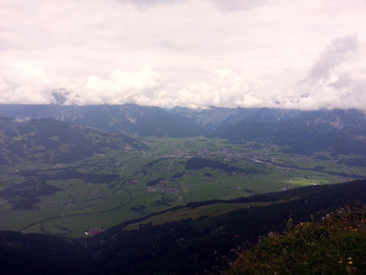
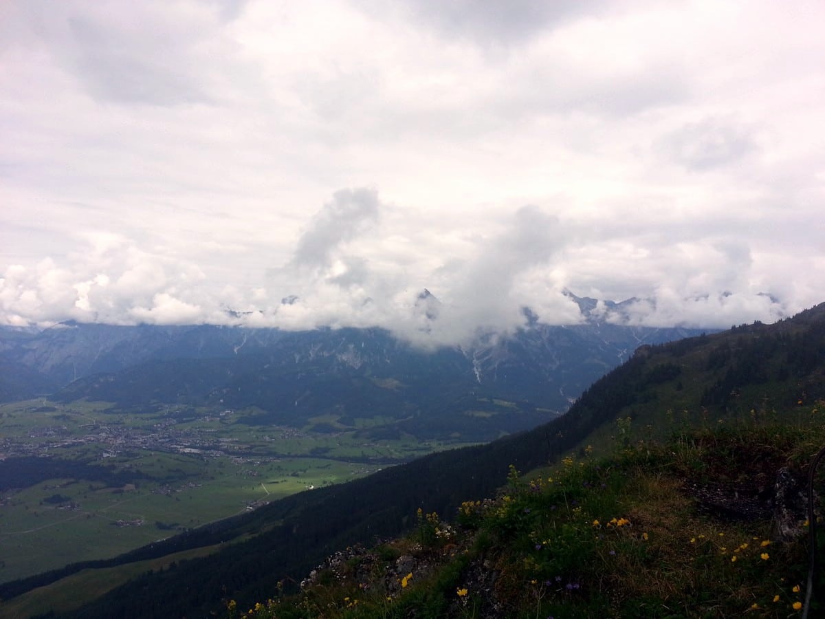
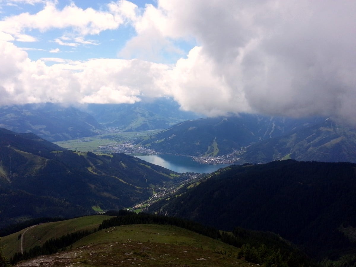
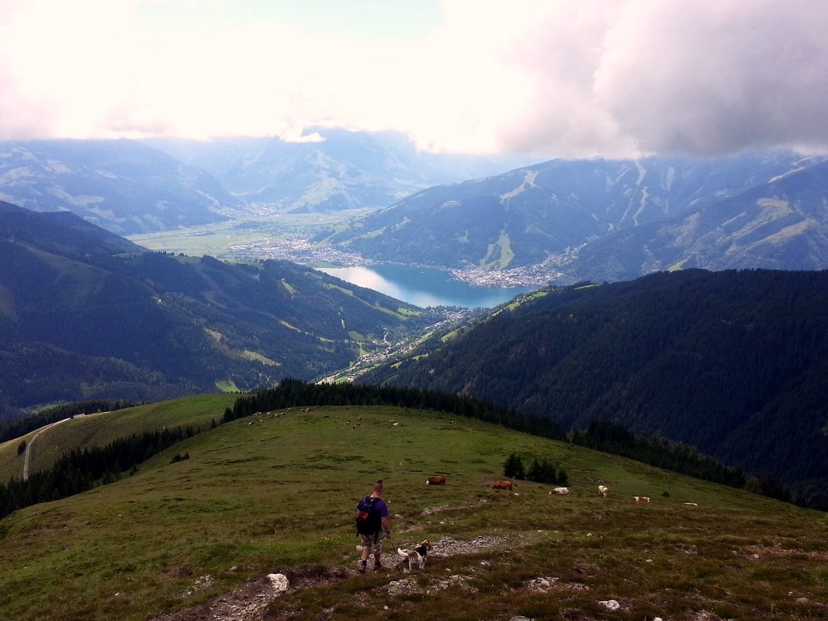
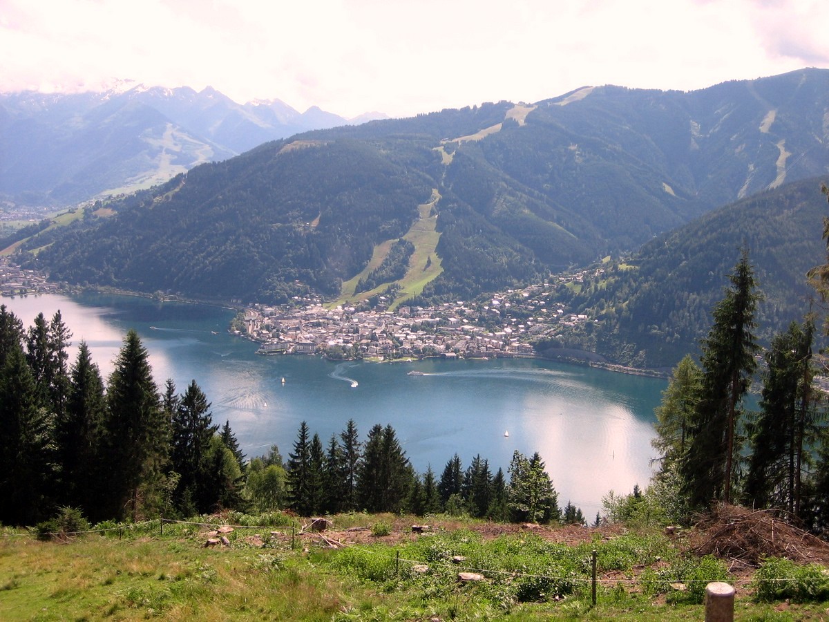
The narrow forest track continues up and will take you towards “Schwalbenwand”, which translates into “Swallow Wall”. At around 1,600m in altitude, the surroundings start to change, from forest to alpine meadows, filled with flowers and cows. The peak of the Schwalbenwand lies at 6598ft and will give you a great view of Zell am See, the Zeller lake, and Kaprun with the Kitzsteinhorn glacier in the distance.
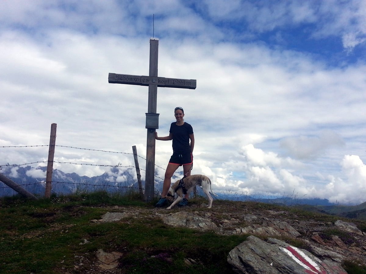
Continue on the other side of the peak, while following route Number 87. You will walk along the ridge between the Schwalbenwand peak and your next goal: the Schönwieskopf. This peak lies straight in front of you in a south-easterly direction at an altitude of 6542ft. Take another break and take some photos while looking back at the Schwalbenwand.
Start your descent straight away by continuing towards the south on route Number 81. At the first cross section, turn right towards the north and follow the track, looping back on yourself for a short while. Once you hit the forest track again, follow it down into the serpentine turns.
Hike past the Hochberg alm (5591ft) and the Schützing alm (both not managed) and follow the trail heading south. You will pass the Pointschneider alm (not managed) and then the Grieβalm (4731ft, not managed) before you descend the last two serpentine turns ahead of arriving at Berggasthof Mitterberg again.
After your great day hiking, find a place on the terrace of Berggasthof Mitterberg, order a drink and the tasty grill plate or original Wiener Schnitzel. While restoring your energy, take in the great view of the Zeller lake below and think about the new mountain memories you have made!
Insider Hints
Berggasthof Mitterberg is not only a great place for food and drinks, but also a superb location to spend the night. Sit out on the terrace till sunset and look at the lights of Zell am See far below you.
There are no options for purchasing food or water on the route. Take at least 1-liter water per person with you, much more if it is a hot day!
The ideal mountain lunch is called "Jausern" in Austria. It consists of dried sausages called "Kaminwurst", mountain cheese, fresh mountain bread and a selection of "easy-to-eat" vegetables like cucumber and tomato. All that is missing, is a sharp knife to cut off a bite and enjoy the taste of the mountains!
Click the link to find out more about hiking the Austrian Alps.
Similar hikes to the Schwalbenwand & Schönwieskopf Hike hike
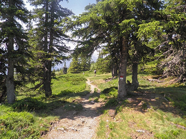
Schmittenhohe - Mauerkogel Hike
The Schmittenhohe - Mauerkogel hike is perfect if you are a big fan of great views, reaching a mountain peak,…
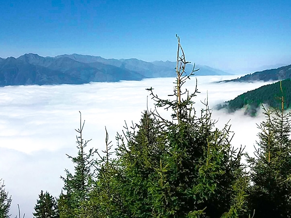
Pinzgau Hut Loop Hike
The Pinzgau Hut Loop hike is a wonderful hike: not too easy yet also not too difficult. Hike up the…
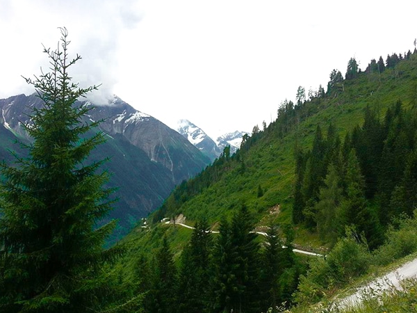
Glocknerblick via Jetzbachsteig Hike
The Glocknerblick via Jetzbachsteig hike is steep, challenging, and beautiful, and a great day of walking if you’re in Zell…


Edmund D. 5 years ago
You shouldn't miss visiting this place. It was a great hike with lots of wonders!
Jakob F. 5 years ago
Stunning place beside the lake with views of the surrounding mountains
Cloudhigh 5 years ago
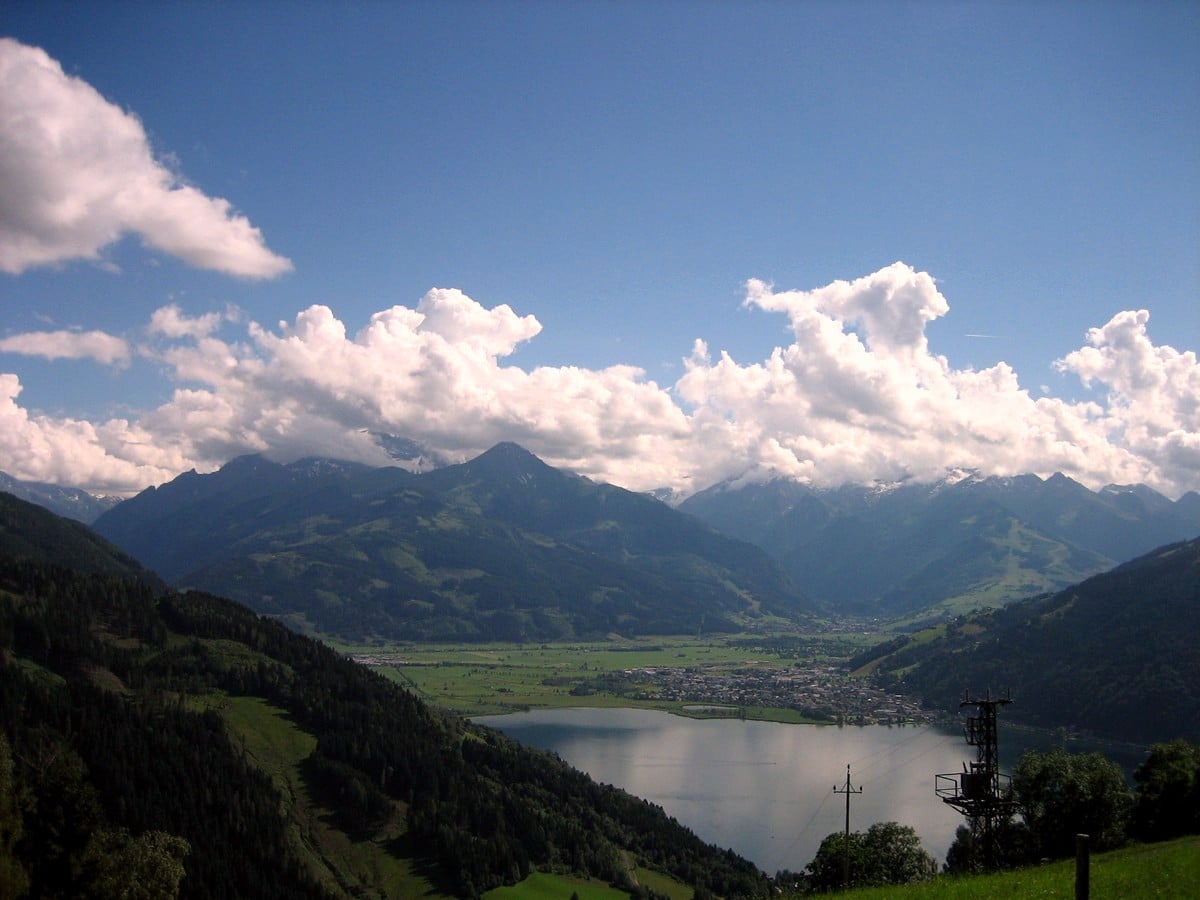
Great view. From the mountain you can see the Zeller lake
Francesco D. 5 years ago
Beautiful scenic walks! Amazing mountains and worth it as the view of the lake is different and amazing
Aria Z. 5 years ago
I have never seen such beautiful water in my life. It is just breathtaking!!!
Jamie Parker 5 years ago
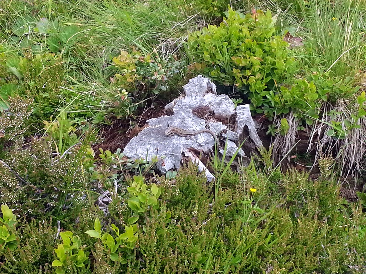
A place full of beautiful scenery and wildlife.
Axel Ross 5 years ago
Amazing views of mountains and lake. Stunning! Well worth the sweat!
Johnson Bonanza 6 years ago
Took 6 Hrs 35 mins to get to the top. Descending was quite challenging, but it's doable. Would recommend doing it early. Air and temperature are so much better.
Jimmy D. 6 years ago
Astonishing views along the trail. Definitely a difficult but rewarding hike.
Issa Deraulo 6 years ago
The forest, meadows and hilltop views were very nice. It felt great to be there.