

Squaw Creek to Shirley Canyon Hike
View PhotosSquaw Creek to Shirley Canyon Hike
Difficulty Rating:
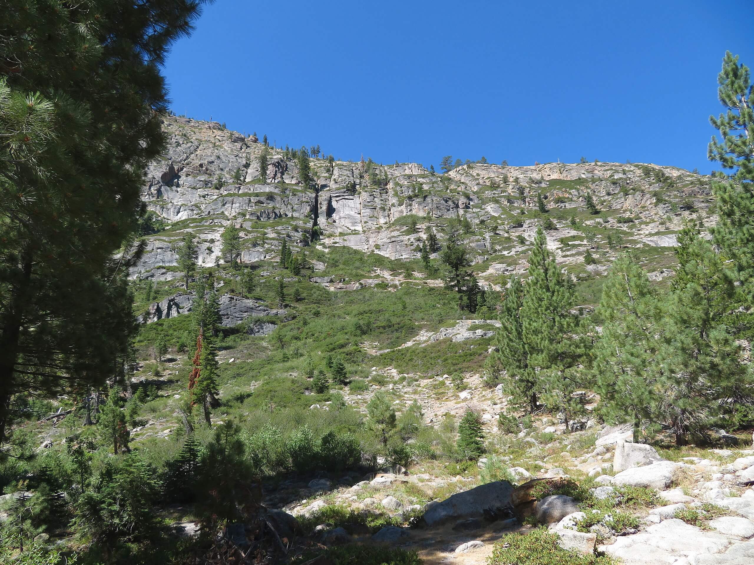
The Squaw Creek to Shirley Canyon Hike is a must-add to your hiking itinerary. Located near Olympic Valley, this route travels through mixed pine woodlands interspersed with quaking aspens. As you hike, you will be grounded by the meditative sounds of the gurgling creek.
Getting there
The Squaw Creek to Shirley Canyon Trail departs from the Granite Chief Trailhead off Chamonix Pl.
About
| Backcountry Campground | No |
| When to do | Year-round |
| Pets allowed | Yes - On Leash |
| Family friendly | Yes |
| Route Signage | Average |
| Crowd Levels | Moderate |
| Route Type | Out and back |
Squaw Creek to Shirley Canyon Hike
Elevation Graph
Weather
Squaw Creek to Shirley Canyon Hike Description
The Squaw Creek to Shirley Canyon Hike is a great alpine excursion near Tahoe City that meanders through enchanting woodlands. Reconnect with nature while stretching your legs. Easy-going, easy to navigate and short, this route is ideal for families and novice hikers alike. If you are coming from sea level, then you may need to exert a bit more energy—but it’s a great introductory hike for high-country climbing! Open year-round, this wonderful trek can be enjoyed after a snowfall with a pair of snowshoes or microspikes! Note: the name of the Creek and Mountain are under review, soon to be changed to a more appropriate name.
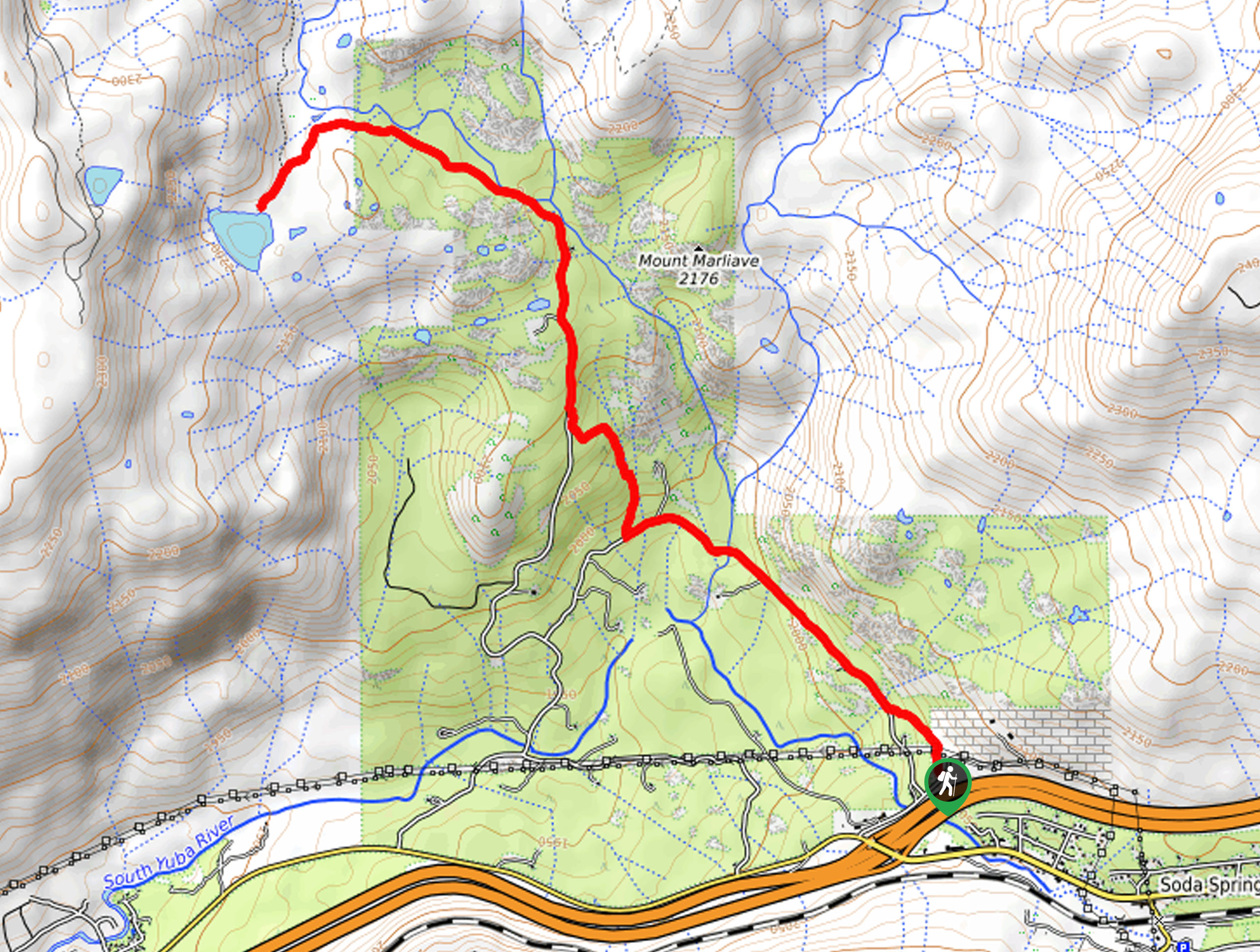
Setting out from the trailhead, the Squaw Creek to Shirley Canyon Hike follows the Granite Chief Trail. Wander this route through mixed pine woodlands to an intersection. Here, keep left and hike the un-signposted route along the northern edge of Squaw Creek. As you hike, the path will narrow, guiding you into Shirley Canyon. Enjoy the sounds of the running water and the sights of the cascades over the smooth granite rocks. You will eventually reach the trail’s end when it crosses over the creek, intersecting with the Shirley Canyon Trail.
If you still have some gas left in the tank, explore the Shirley Canyon Trail further. If not, simply retrace your footing along the path, all the way back to the trailhead.
Similar hikes to the Squaw Creek to Shirley Canyon Hike hike

Lola Montez Trail
The Lola Montez Trail is an epic backcountry adventure that boasts wonderful scenery, from dense pine forests to alpine meadows…

Summit Lake Hike
The Summit Lake Hike is a popular escape into the fresh air. Conveniently located off the highway, this beautiful route…

Tahoe Rim Trail to Picnic Rock Viewpoint
The Tahoe Rim Trail to Picnic Rock Viewpoint is a great adventure that boasts wonderful vistas of Lake Tahoe and…


Comments