Shirley Canyon Trail
View Photos
Shirley Canyon Trail
Difficulty Rating:
The Shirley Canyon Trail is an impressive day hike near Tahoe City that boasts impressive views every step of the way. Though the panoramas from atop the mountain are the piece de resistance, the trek up through the mixed pine woodlands, granite gardens, and past snowmelt cascades might just be the best part!
Getting there
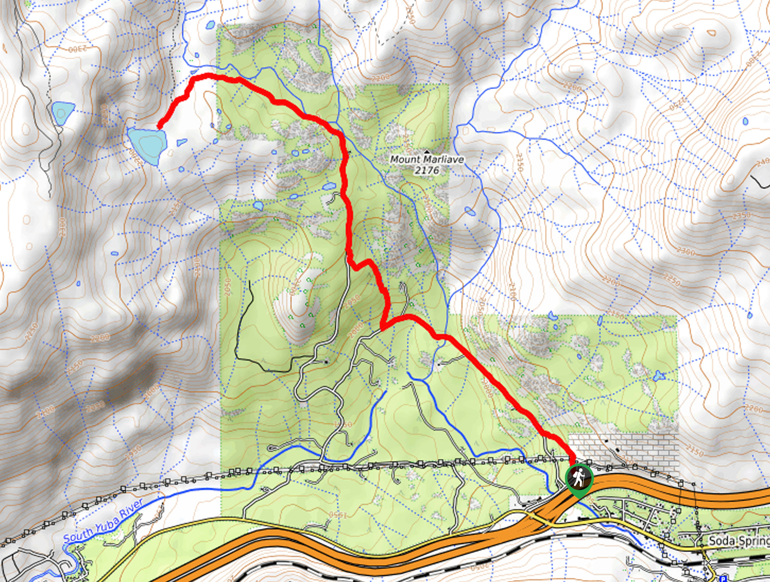
The Shirley Canyon Trail departs from the trailhead off Squaw Peak Way.

About
| Backcountry Campground | No |
| When to do | May-October |
| Pets allowed | Yes - On Leash |
| Family friendly | Older Children only |
| Route Signage | Average |
| Crowd Levels | High |
| Route Type | Out and back |
Shirley Canyon Trail
Elevation Graph
Weather
Shirley Canyon Trail Description
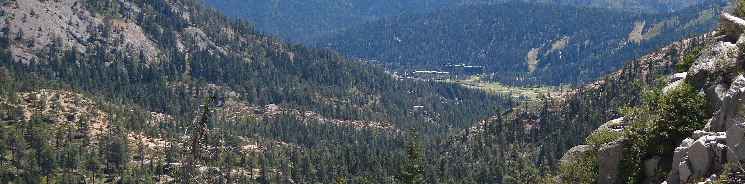
The Shirley Canyon Trail is a great addition to anyone’s hiking itinerary. Wander through the valley along the curves of Squaw Creek before summiting the mountain. The sounds of the babbling waters will lull you into a state of relaxation as you climb through the alpine terrain. When trekking in the summer months, hikers have the option of climbing up, then tacking the tram back down to the trailhead—how fun! Equally, as scenic, winter excursions along the Shirley Canyon Trail require either a set of microspikes or snowshoes and warm layers! No matter the season, this stunning trail is sure to impress.
Setting out from the trailhead the Shirley Canyon Trail follows the Shirley Canyon Trail northwest, out of Olympic Valley and into Shirley Canyon. Following Squaw Creek, the path will guide you along a forested path adorned with granite outcrops—so mind your footing. Enjoy the shade of the towering pines and quaking aspens as you climb. Soon you will pass a charming cascade surging over the smooth granite rocks. Eventually, you will meet an intersection at the Solitude Base, veer left here, and continue hiking up the now more primitive route.
Venturing southeast you will soon reach the top of the mountain, where sits the Wildflower Café and the Ariel Tram. If you are tired, and the tram is running, why not take another way down the mountain. If you prefer to hike, then simply retrace your steps along the path all the way back to the trailhead.
Similar hikes to the Shirley Canyon Trail hike
Red Lake, Frog Lake and Carson Pass Hike
Seeking a day hike away from the crowds of Lake Tahoe? The Lake, Frog Lake and Carson Pass Hike is…
Winnemucca and Round Top Lakes Hike
The Winnemucca and Round Top Lake Hike is an awesome adventure in the Mokelumne Wilderness. Wander through mixed pine forests…
Lola Montez Trail
The Lola Montez Trail is an epic backcountry adventure that boasts wonderful scenery, from dense pine forests to alpine meadows…
Comments