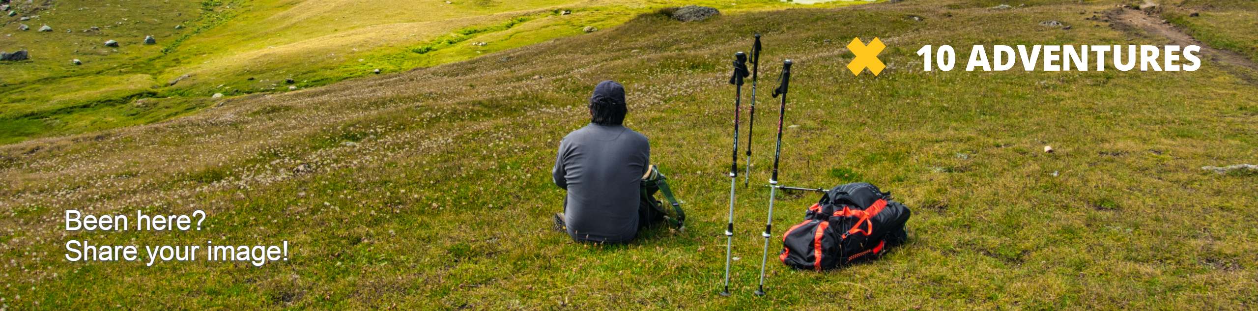
Scott Peak Trail
View Photos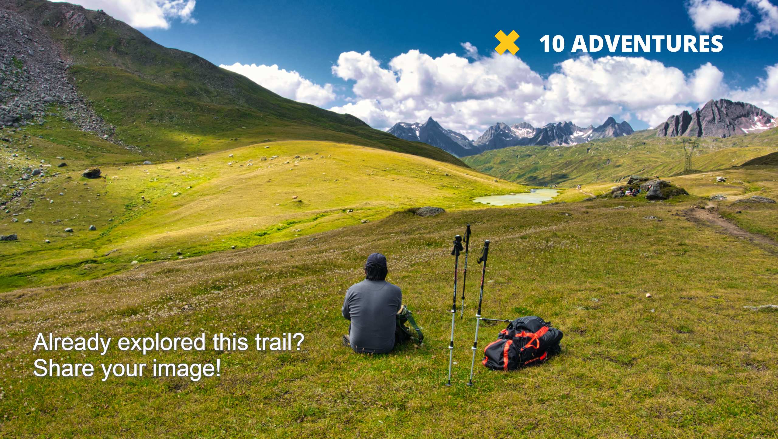
Scott Peak Trail
Difficulty Rating:
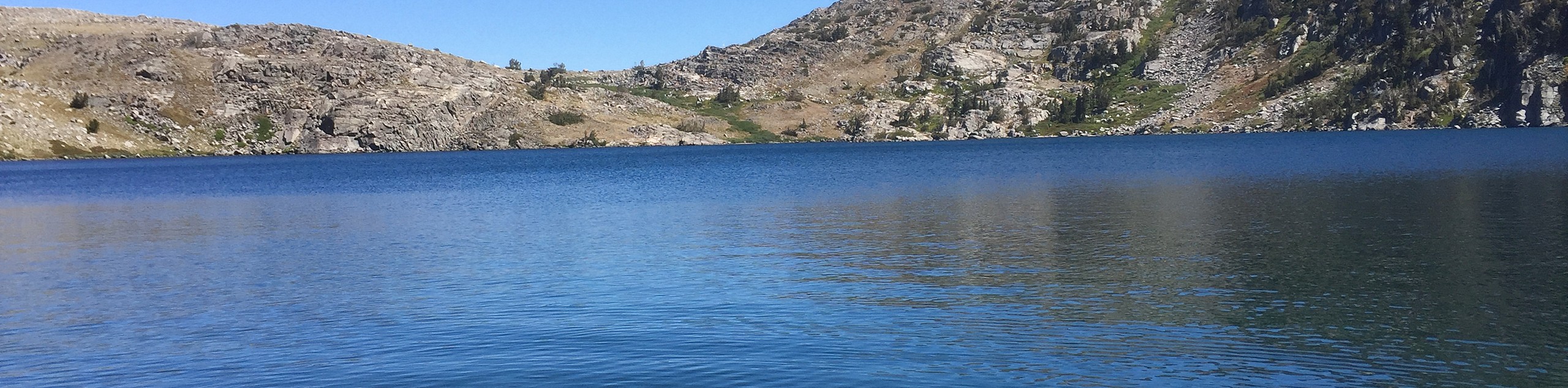
Immerse yourself in Lake Tahoe’s backcountry along the Scott Peak Trail. This wonderful adventure along the granite terrain warrants breathtaking vistas of the High Sierra and Lake Tahoe as you wander through meadowlands and mixed forests.
Getting there
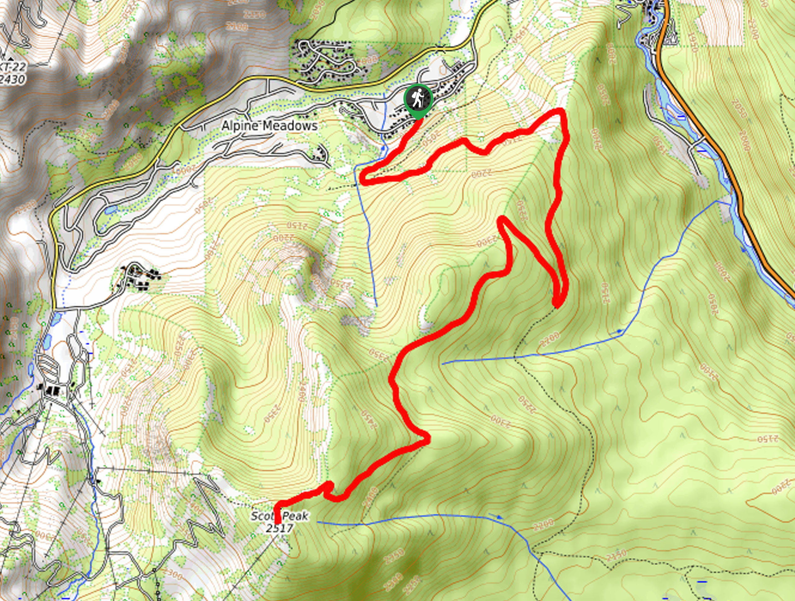
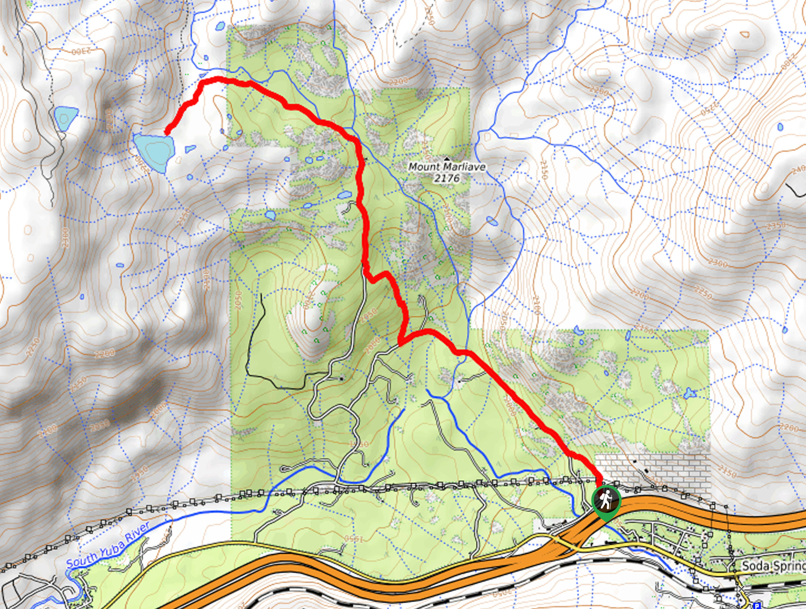
The Scott Peak Hike departs from the Alpine Crags Road Trailhead off Snow Crest Road.

About
| When to do | March-November |
| Pets allowed | Yes - On Leash |
| Family friendly | Older Children only |
| Route Signage | Average |
| Crowd Levels | Moderate |
| Route Type | Out and back |
Scott Peak Trail
Elevation Graph
Weather
Scott Peak Trail Description
The Scott Peak Trail is a great addition to anyone’s Lake Tahoe adventure list. Wander through the lush wilderness, keeping an eye out for wildlife as you hike up to the summit of the craggy Sierra Nevada Peak. Get your heart rate up as you climb up to the summit, and don’t forget to charge your camera because the scenery along the way is unparalleled. Traveling to high elevations, make sure to check the forecast prior to your trek to avoid getting caught in an afternoon storm at the exposed peak. Pack plenty of water and snacks to stay fueled!
Setting out from the trailhead, the Scott Peak Hike follows the Alpine Crags Road southwest. This route will zigzag along the mountainside, merging onto the Deer Park Road. Enjoy the scenes of the bounding mixed pines and wildflowers. At the next intersection, veer right, and you will be diverted onto the Scott Peak Road. The path will become increasingly exposed as you climb, offering breathtaking views.
Once you eventually summit Scott Peak, you will be rewarded with panoramic views of the Sierra Nevada Mountains and Lake Tahoe. After reveling in the beauty and grandeur of the wilderness, retrace your steps along the path all the way back to the trailhead.
Similar hikes to the Scott Peak Trail hike
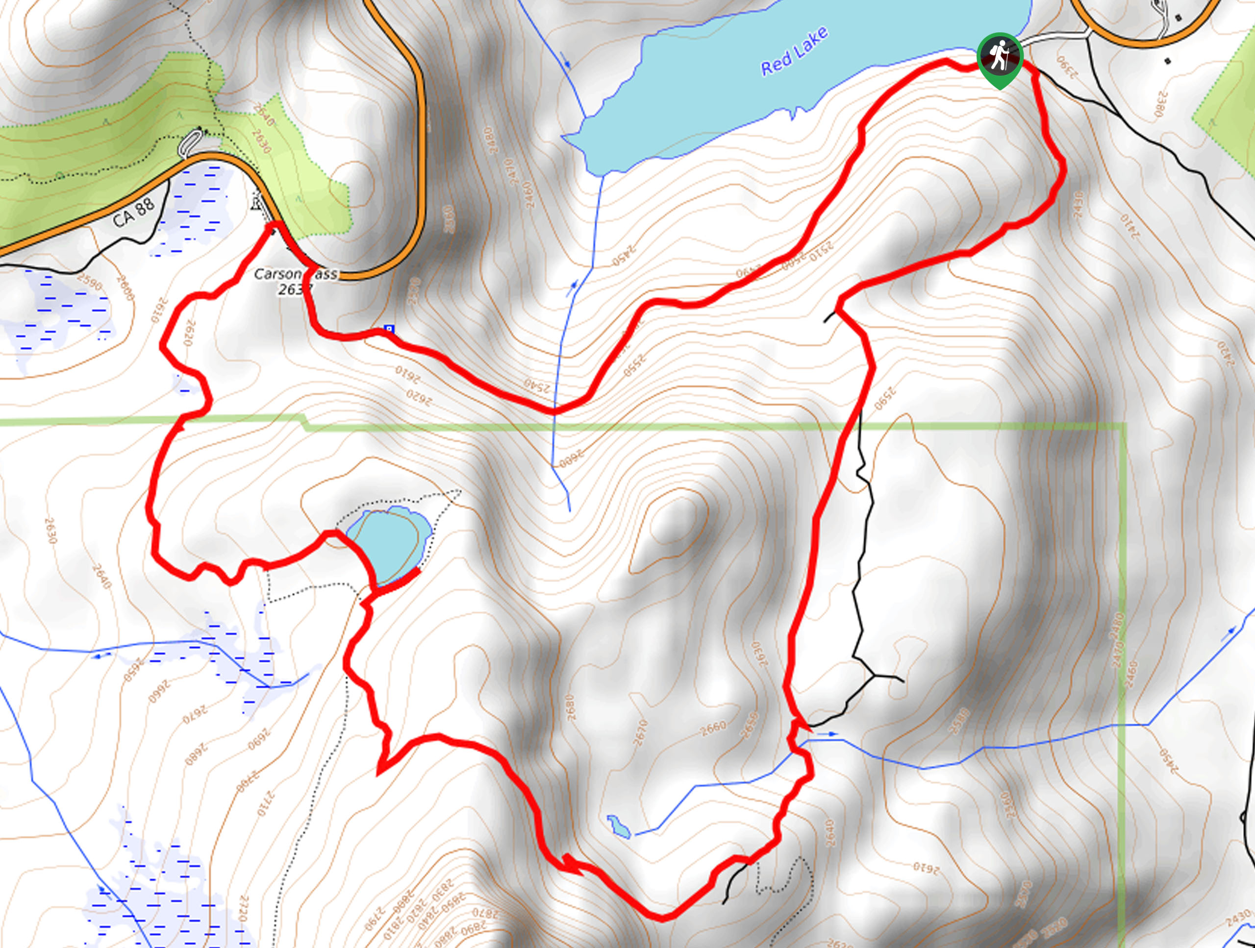
Red Lake, Frog Lake and Carson Pass Hike
Seeking a day hike away from the crowds of Lake Tahoe? The Lake, Frog Lake and Carson Pass Hike is…
Winnemucca and Round Top Lakes Hike
The Winnemucca and Round Top Lake Hike is an awesome adventure in the Mokelumne Wilderness. Wander through mixed pine forests…
Lola Montez Trail
The Lola Montez Trail is an epic backcountry adventure that boasts wonderful scenery, from dense pine forests to alpine meadows…
Comments