

Glen Alpine Trail
View PhotosGlen Alpine Trail
Difficulty Rating:
The Glen Alpine Trail is a wonderful adventure that exhibits the beauty and history of the area. Wander past historical landmarks, springs, waterfalls, and lakes along this scenic route. Demanding some stamina, this trek is a great way to get your heart pumping!
Getting there
The Glen Alpine Trail departs from the parking lot and trailhead at Lily Lake off the Glen Alpine Road.
About
| Backcountry Campground | No |
| When to do | Year-round |
| Pets allowed | Yes - On Leash |
| Family friendly | Older Children only |
| Route Signage | Average |
| Crowd Levels | High |
| Route Type | Out and back |
Glen Alpine Trail
Elevation Graph
Weather
Glen Alpine Trail Description
Immerse yourself in the high country along the Glen Alpine Trail. Traveling up past the Soda Springs, the historic Glen Alpine Resort, and up into the alpine terrain, this wonderful adventure is anything but boring! Be sure to wear a sturdy pair of footwear, as much of the route is rocky and uneven. Additionally, as the trail travels to high elevations, it is important to acclimatize to the area and check the forecast to mitigate getting caught in an afternoon storm. Note: a free wilderness permit is required and can be found at the trailhead.
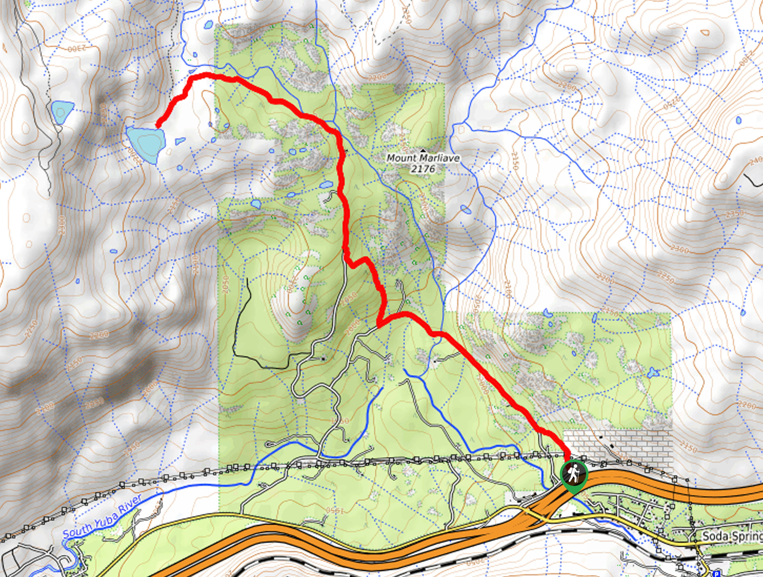
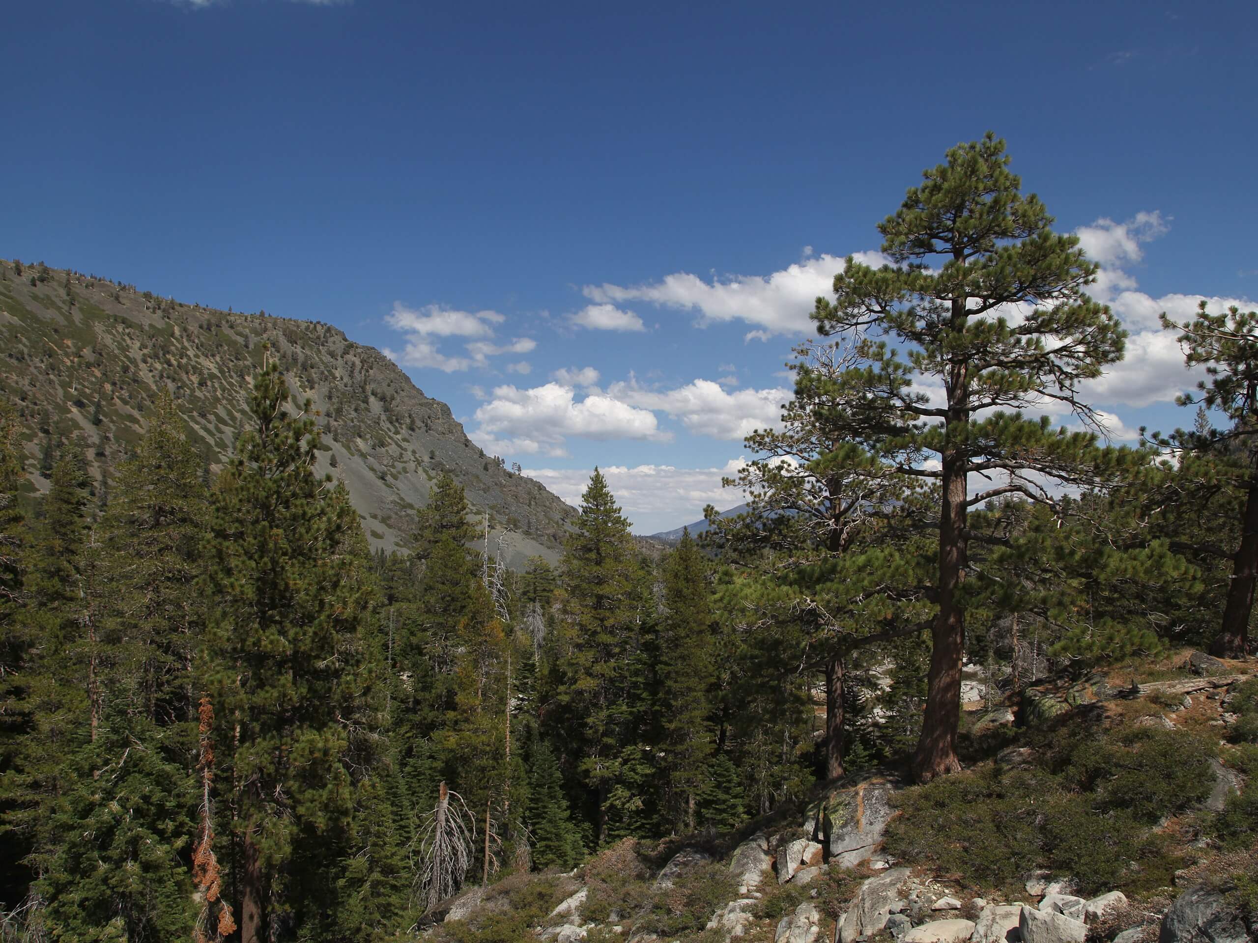
Setting out from the parking lot at Lily Lake, the Glen Alpine Trail follows the Glen Alpine Springs Road. This route will guide you west to gradually climb through the alpine terrain. As you hike, you will be overwhelmed with the sights of the encompassing Sierra Nevada Peaks. Soon, you will approach the Glen Alpine Stream, passing a small waterfall before reaching the historic resort. Take some time to explore the grounds before merging onto route 17E06/Glen Alpine Trail. This path will reroute you north, demanding the navigation of several switchbacks. As you climb, the terrain will become increasingly rocky and the tree shade will thin.
Follow this scenic trail until you reach the junction with the PCT, which marks your turnaround point. From here, you will be granted sweeping vistas of the dramatic landscape. Revel in the beauty of Lake Tahoe and the Sierra Nevada, before retracing your steps down the path to the trailhead.
Similar hikes to the Glen Alpine Trail hike

Red Lake, Frog Lake and Carson Pass Hike
Seeking a day hike away from the crowds of Lake Tahoe? The Lake, Frog Lake and Carson Pass Hike is…

Winnemucca and Round Top Lakes Hike
The Winnemucca and Round Top Lake Hike is an awesome adventure in the Mokelumne Wilderness. Wander through mixed pine forests…

Lola Montez Trail
The Lola Montez Trail is an epic backcountry adventure that boasts wonderful scenery, from dense pine forests to alpine meadows…


Comments