

Mount Tukuhnikivatz Trail
View PhotosMount Tukuhnikivatz Trail
Difficulty Rating:
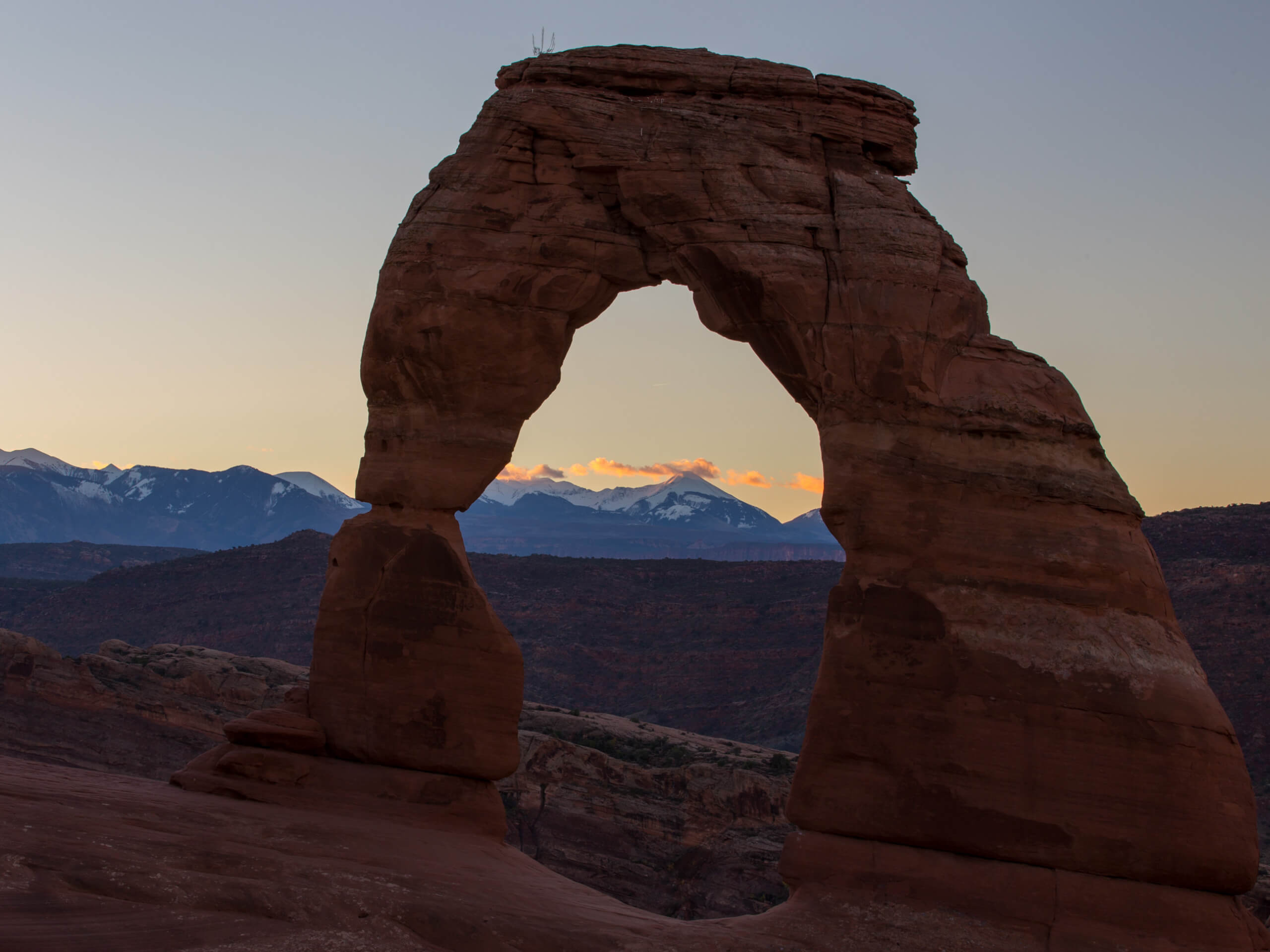
The Mount Tukuhnikivatz Trail is a challenging and adventurous route for experienced hikers. This trail does require a short scramble to the summit, so hikers should be prepared for this steep, loose, and exposed section. The views from the top are absolutely stunning, be sure to bring a camera to capture some incredible shots of Moab, Dead Horse Point State Park, Canyonlands National Park, and even Arches National Park way in the distance.
Getting there
The Mount Tukuhnikivatz Trail begins at the top of La Sal Pass in the Manti-La Sal National Forest southeast of Moab, UT.
About
| Backcountry Campground | No |
| When to do | July to October |
| Pets allowed | Yes - On Leash |
| Family friendly | No |
| Route Signage | Average |
| Crowd Levels | Low |
| Route Type | Out and back |
Mount Tukuhnikivatz Trail
Elevation Graph
Weather
Mount Tukuhnikivatz Trail Description
The Mount Tukuhnikivatz trail is a challenging and rewarding summit route for experienced hikers. The drive up to the trailhead is on a rugged access road, so having a high clearance vehicle with 4WD is definitely an asset. The hike itself, though spectacular, is steep, loose, and exposed on the final push to the summit. Hikers should come prepared with proper footwear and relevant experience. The views from the top are totally worth the effort to get there. The only way to describe the summit vistas would be “breathtaking.” Be sure to bring a camera and a good snack to enjoy at the summit while you soak in the views of the world below.
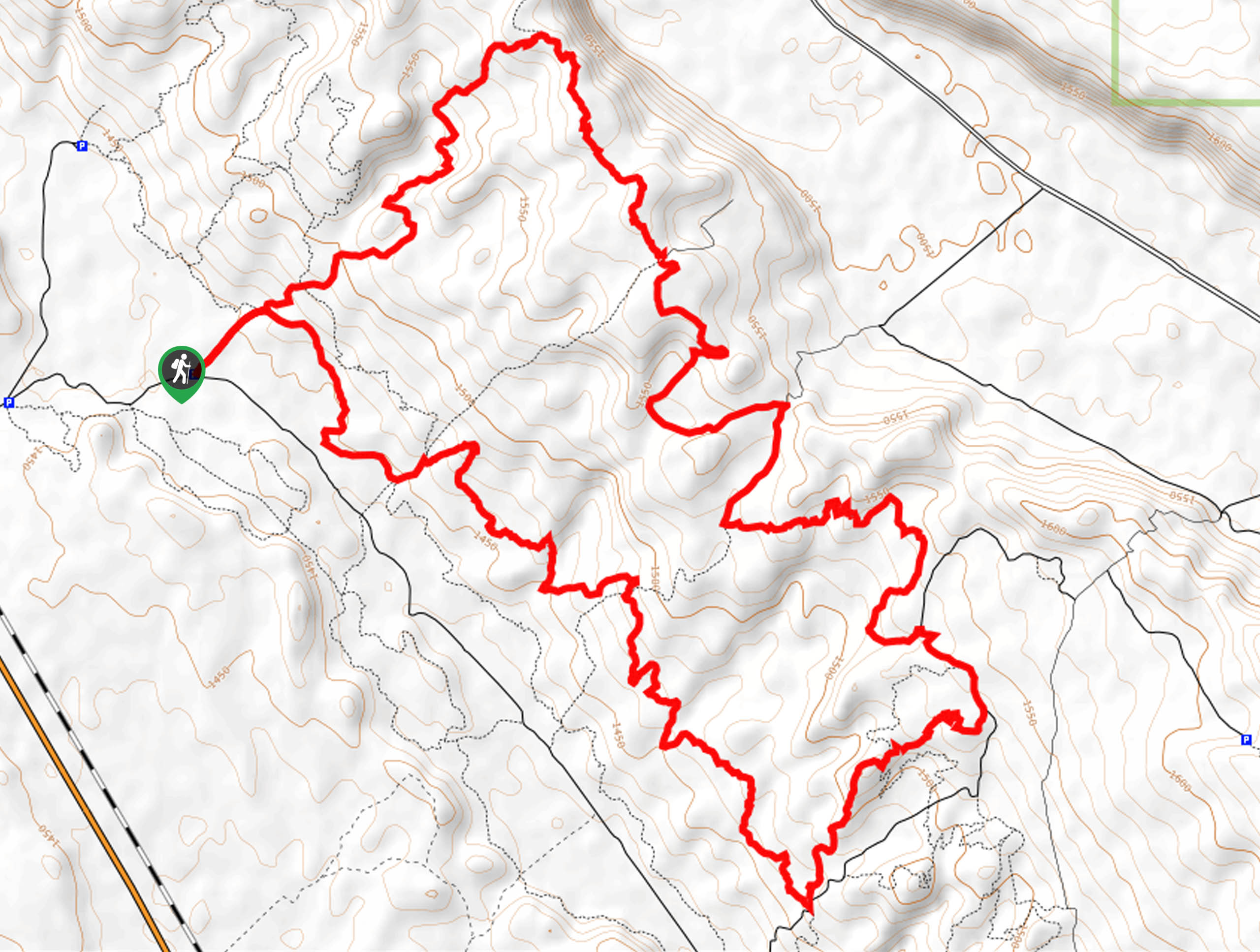
From the top of La Sal Pass, look for the Mount Peale/Burlfriends trailhead on the north side of the road. Follow the path northeast for 0.5mi to the divide. Take the left path here; the path to your right leads up to the summit of Mount Peale. Follow the trail northwest as it gets steeper and steeper. Approximately 2.5mi from the divide, you will reach the summit.
Take a well deserved rest at the summit and revel in the incredible views of the surrounding peaks and valleys of the Manti-La Sal Forest (and beyond). When you are ready, turn around and follow the same route back to the trailhead.
Similar hikes to the Mount Tukuhnikivatz Trail hike

Dead Horse Rim Loop and Big Horn Overlook Trail
The Dead Horse Rim Loop and Big Horn Overlook Trail is a fantastic day-hike in the southern section of Dead…

Klondike Bluff Outer Loop
The Klondike Bluffs Outer Loop is a great low-traffic trail just outside of Arches National Park. This route is primarily…

Sylvester Trail
The Sylvester Trail is a moderately challenging route with beautiful views of the Utah desert. This hike gets relatively low…


Comments