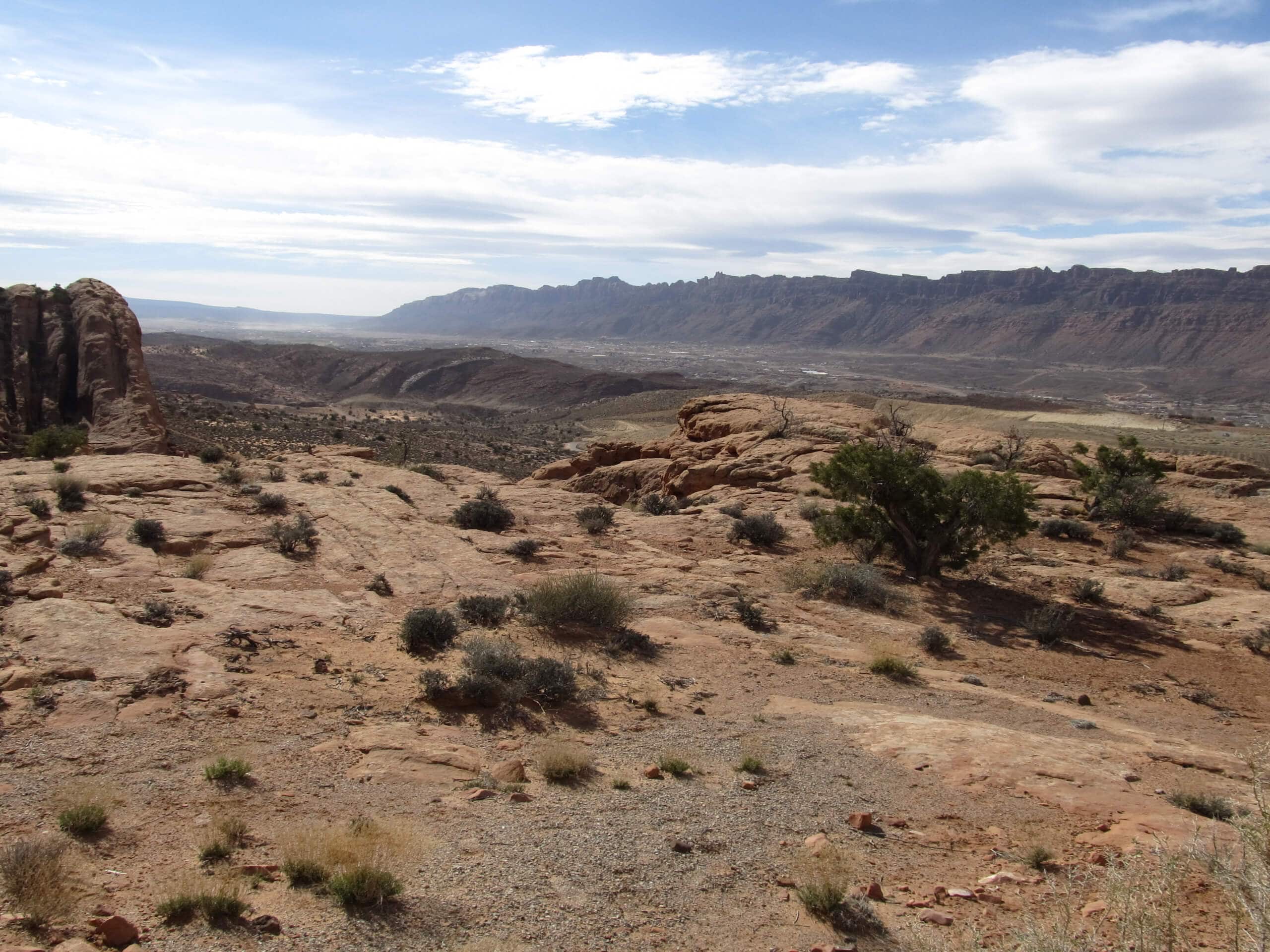


Slickrock Practice Loop
View PhotosSlickrock Practice Loop
Difficulty Rating:
The Slickrock Practice loop is a super fun lollipop trail just outside of Moab. This trail is used as a practice loop by mountain bikers and has lots of steep ups and downs. This trail may be short, but it will give you a serious workout!
Getting there
The Slickrock Practice Loop begins at the Slickrock Trail Parking lot on the west side of Sand Flats Road just east of Moab.
About
| Backcountry Campground | No |
| When to do | Year-round |
| Pets allowed | Yes - On Leash |
| Family friendly | Older Children only |
| Route Signage | Average |
| Crowd Levels | Low |
| Route Type | Lollipop |
Slickrock Practice Loop
Elevation Graph
Weather
Slickrock Practice Loop Description
The Slickrock Practice Loop is a fun, challenging little trail for hikers looking to feel the burn! This trail is used primarily as a mountain bike trail, so be aware of your surroundings and stick to the side of the path so bikers can zoom by. This trail has lots of steep ups and downs so it may not be the best choice if you have knee issues or mobility challenges. If you are looking for a fun route in a beautiful area that will get your heart rate going, this trail is definitely the one for you.
From the Slickrock Trail Parking Lot, follow the well-marked path north. 0.3mi up the trail, take a right at the fork to follow the loop counterclockwise. 1.2mi along the loop, the trail will divide—stay left to continue another 0.4mi back to the start.
Take a moment to catch your breath before following the trail back south down to the parking lot.
Similar hikes to the Slickrock Practice Loop hike

Big Horn Overlook Trail
The Big Horn Overlook Trail is a family-friendly hike in Dead Horse Point State Park. This trail takes you to…

Colorado River Overlook Trail
The Colorado River Overlook Trail is a short and easy route that affords hikers stunning views of the Utah desert.…

Dead Horse Rim Loop and Big Horn Overlook Trail
The Dead Horse Rim Loop and Big Horn Overlook Trail is a fantastic day-hike in the southern section of Dead…


Comments