

Parriott Mesa Trail
View PhotosParriott Mesa Trail
Difficulty Rating:
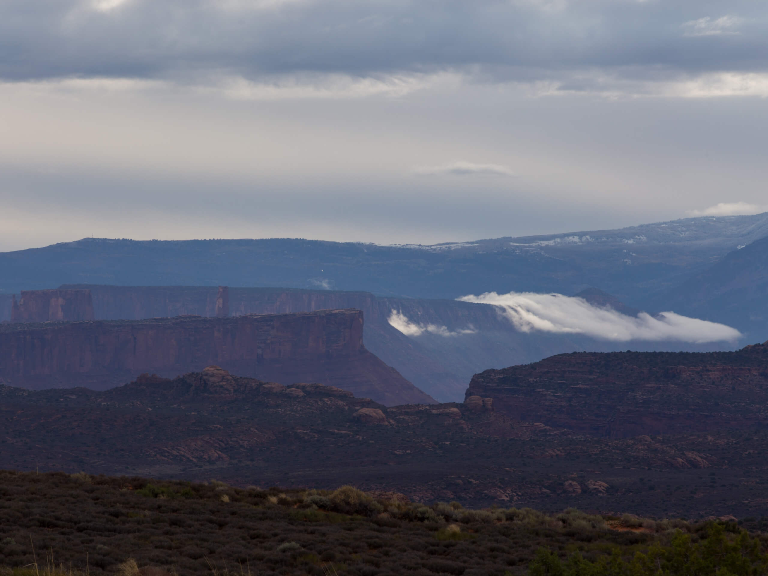
The Parriott Mesa Trail is a short, technical hike that affords hikers incredible views of Castle Valley. This hike is highly exposed near the end of the trail, and hikers should be experienced in scrambling and comfortable with exposure. The challenge is worth it, though - the views from the top are beyond stunning.
Getting there
From highway 128, turn down La Sal Loop Road. Follow La Sal southeast for approximately 3.4mi to the first turn off on the left (north) side of the road. Keep left at the fork and park along this road. The Parriott Mesa Trail begins here.
About
| Backcountry Campground | No |
| When to do | year-round |
| Pets allowed | Yes |
| Family friendly | No |
| Route Signage | Poor |
| Crowd Levels | Low |
| Route Type | Out and back |
Parriott Mesa Trail
Elevation Graph
Weather
Parriott Mesa Trail Description
The Parriott Mesa Trail is a short, low-traffic hike just outside of Moab, UT. Although it is short, this hike is not for the faint of heart. The last section of this trail is steep, loose, and exposed, so hikers beware. This last section is protected by cables, so you can bring a solid climbing carabiner to clip yourself in for the last push. Good footwear, hiking poles, and a sense of adventure are absolutely necessary for this hike. The views from the top, though, are totally worth the effort. Bring a camera, and a snack and allow yourself plenty of time to sit atop Parriott Mesa and enjoy the views of Castle Valley below.
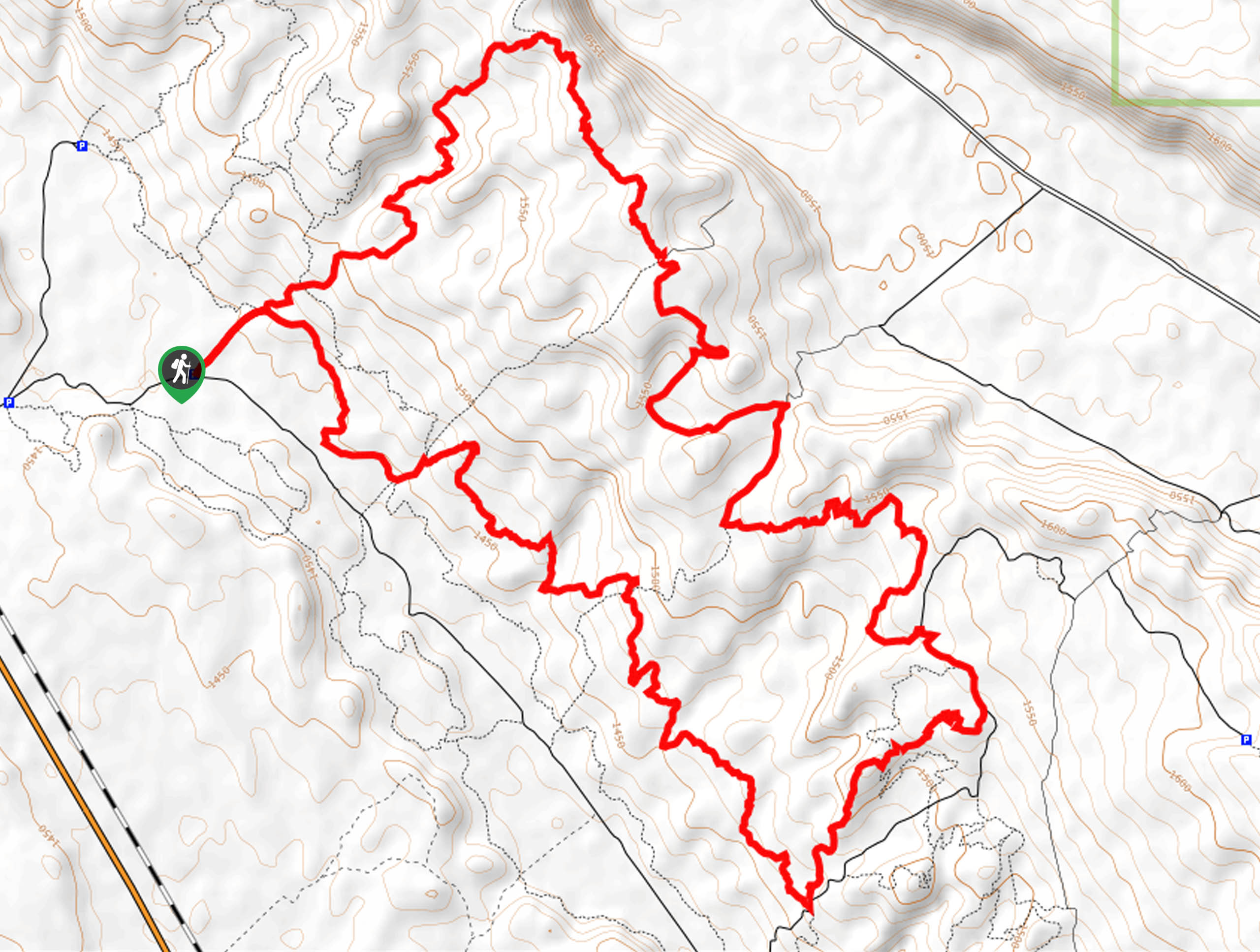
From the parking area, follow the road northeast until it turns into a trail and begins to climb. Atop the first steep section, the trail will switch back to head northwest. You will have a bit of a reprieve here as the trail remains flat for the next half mile or so. As the trail begins to climb again, the path becomes less defined. It can be useful to have a GPS or map at this point, but if you are travelling without one, pick a safe path using your own discretion. After a steep climb, you will arrive at the top of Parriott Mesa.
Bask in the accomplishment of this challenging hike and have a rest at the top. The stunning views from up top will make you want to stay up there forever, but you do have to go down eventually. The route back is the same as the route up, but be sure to be extra careful on the descent as the trail is steep and loose; take your time and arrive back at the parking area safely.
Similar hikes to the Parriott Mesa Trail hike

Dead Horse Rim Loop and Big Horn Overlook Trail
The Dead Horse Rim Loop and Big Horn Overlook Trail is a fantastic day-hike in the southern section of Dead…

Klondike Bluff Outer Loop
The Klondike Bluffs Outer Loop is a great low-traffic trail just outside of Arches National Park. This route is primarily…

Sylvester Trail
The Sylvester Trail is a moderately challenging route with beautiful views of the Utah desert. This hike gets relatively low…


Comments