Moab Rim Trail
View Photos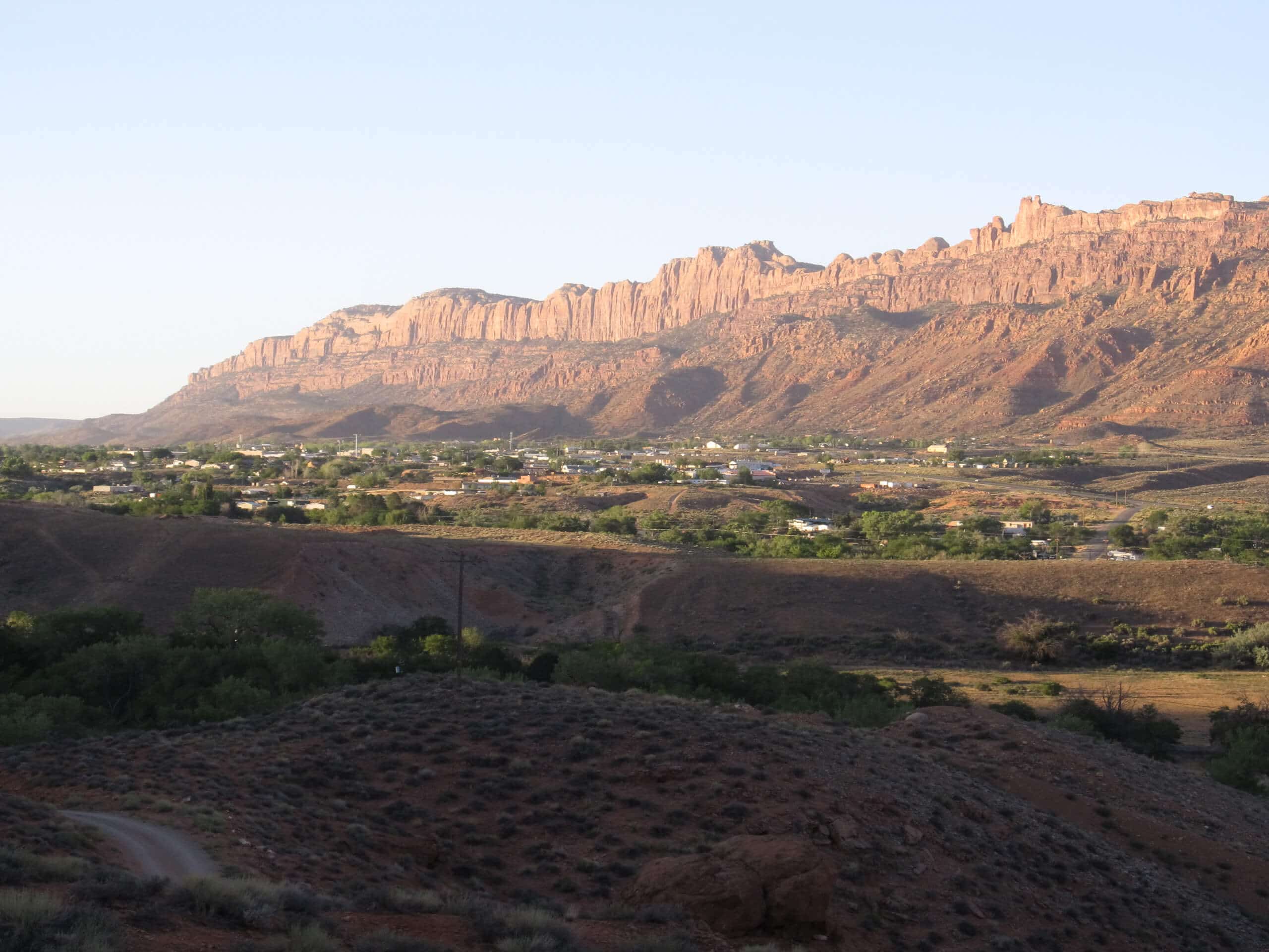
Moab Rim Trail
Difficulty Rating:
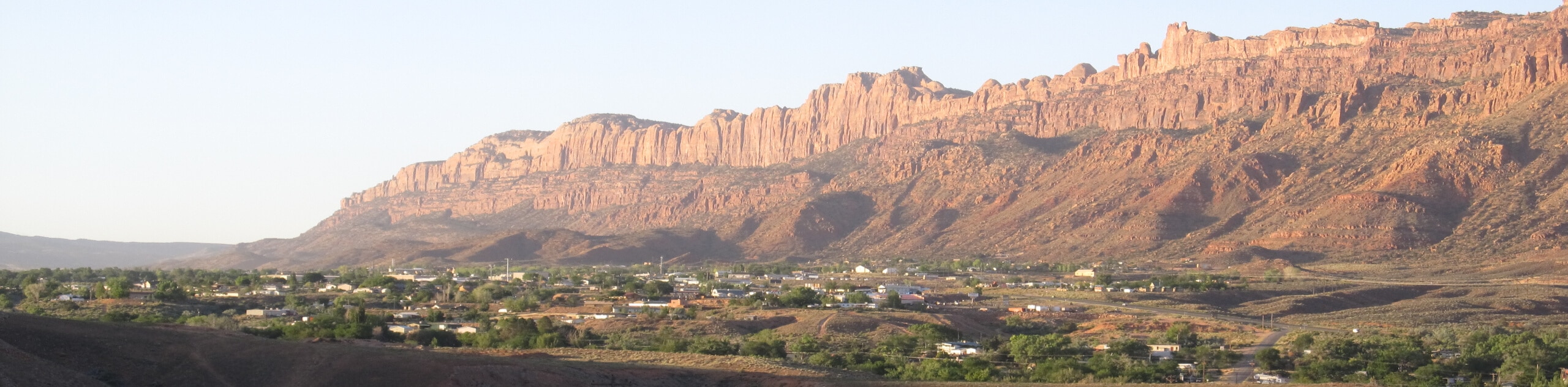
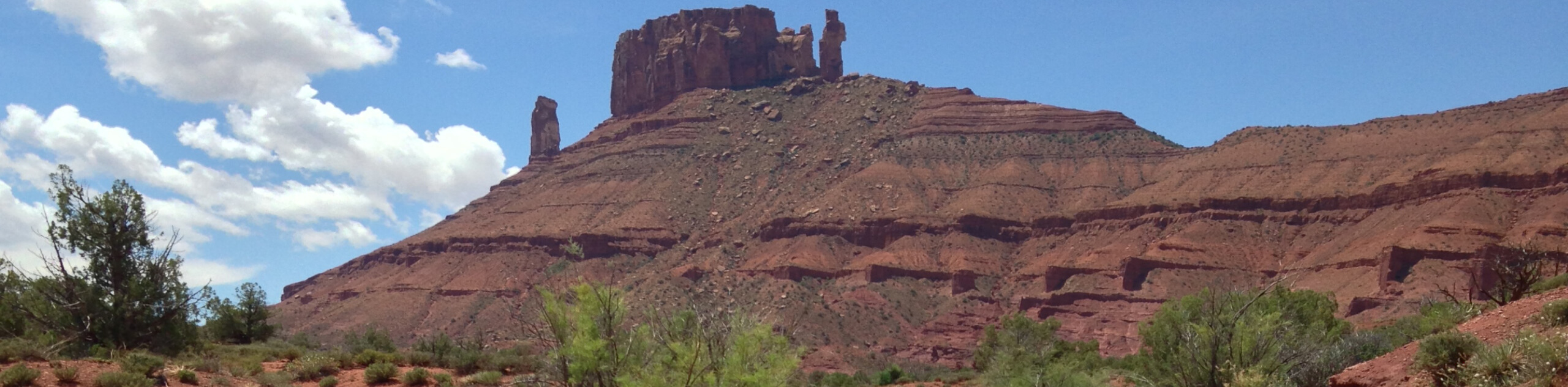
The Moab Rim Trail is a challenging hike just outside of Moab. This trail is shared with Off-Highway Vehicles and rewards hikers and drivers with incredible desert views. Although this trail is dog-friendly, be mindful that this is a shared trail, and dogs should remain on a leash.
Getting there
The Moab Rim Trail begins at a trailhead and parking area 2.7mi down Kane Creek Boulevard from the 191 highway turnoff in Moab.

About
| Backcountry Campground | No |
| When to do | Year-round |
| Pets allowed | Yes |
| Family friendly | No |
| Route Signage | Average |
| Crowd Levels | Moderate |
| Route Type | Out and back |
Moab Rim Trail
Elevation Graph
Weather
Moab Rim Trail Description
The Moab Rim Trail is a challenging route for experienced hikers and seasoned OHV drivers. This trail is steep and exposed, so bring lots and lots of water; there is no water at the trailhead, and there are no springs along the path. We also recommend bringing a set of hiking poles to aid your ascent and descent and save your knees some strain. The views from this trail are absolutely breathtaking, and you can share these views with your favorite four-legged friend. This trail is on BLM land, so dogs are welcome- just be sure to keep them on a leash and be aware that vehicles may pass you on your hike.
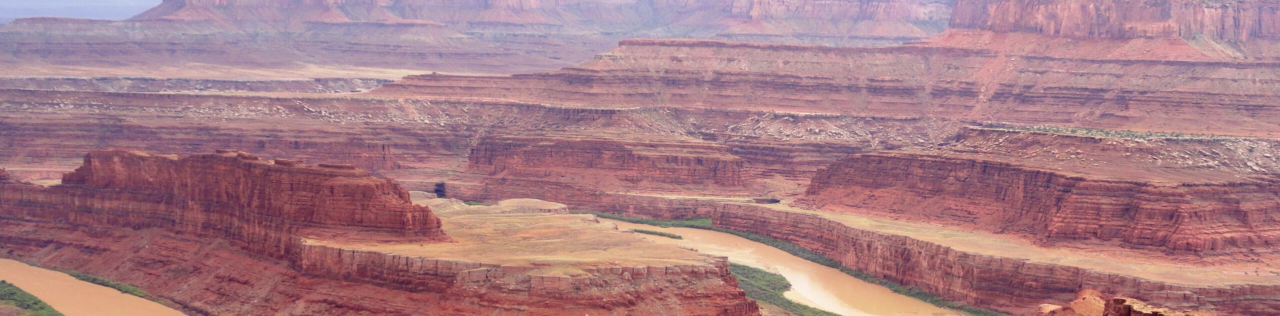
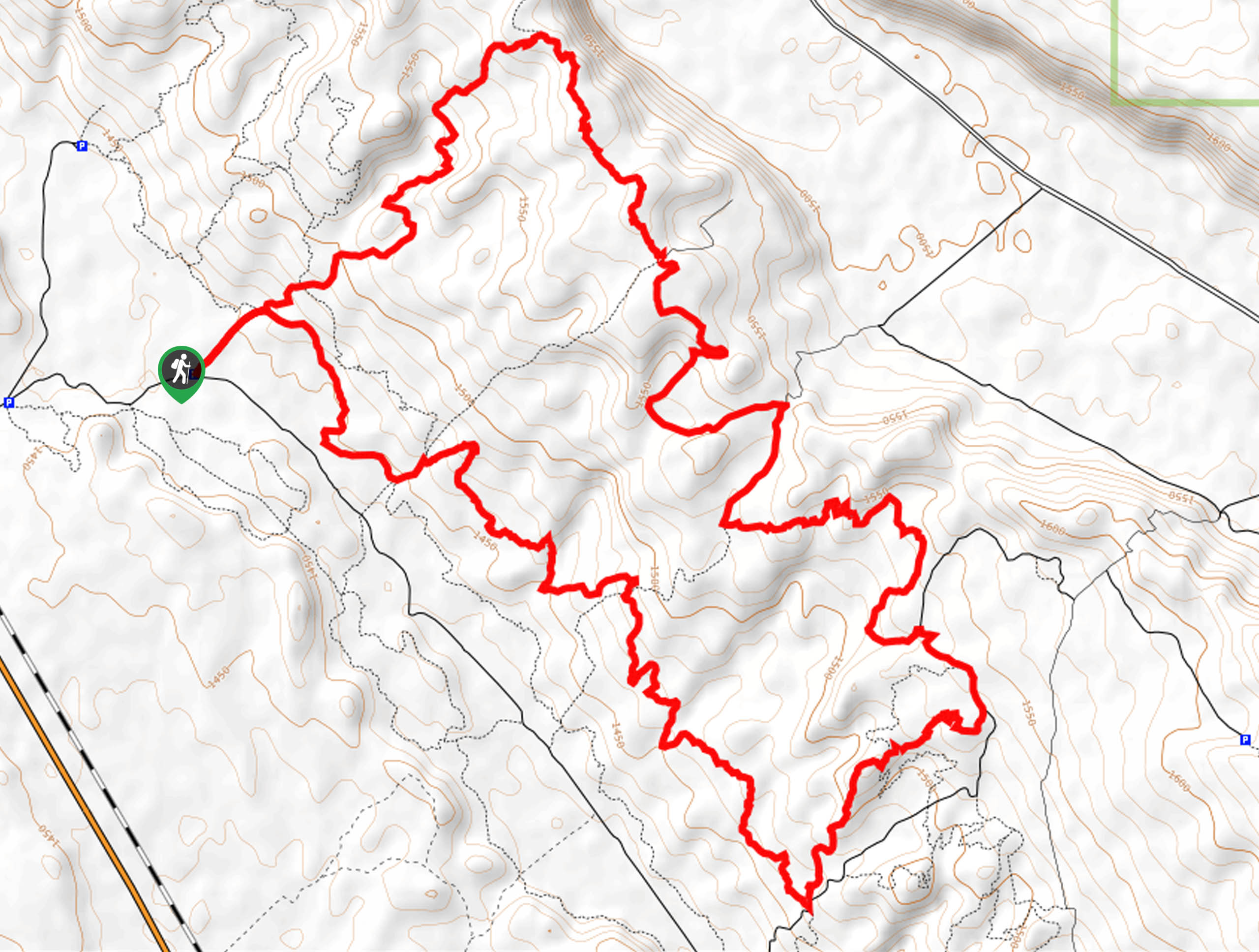
From the trailhead, follow the path uphill on the narrow shelf road. 1.1mi into the hike, you will see a pullout area on the northside of the trail- check out this area for incredible views of Moab. 0.5mi from the overlook, the trail divides. This marks a split in the trail- these two paths will meet up 1.3mi later. It is most common to take the right-hand path here and the left on the way back; feel free to choose either and follow the trail southeast. Shortly after the trails meet back up, the trail will divide again. Take a left here and follow the path 0.6mi to another gorgeous overlook.
Take a rest at the overlook and enjoy the views of Moab below. This overlook is the turn-around point for the Moab Rim Hike so when you are ready to head home, follow the trail back to the parking area.
Similar hikes to the Moab Rim Trail hike
Dead Horse Rim Loop and Big Horn Overlook Trail
The Dead Horse Rim Loop and Big Horn Overlook Trail is a fantastic day-hike in the southern section of Dead…
Klondike Bluff Outer Loop
The Klondike Bluffs Outer Loop is a great low-traffic trail just outside of Arches National Park. This route is primarily…
Sylvester Trail
The Sylvester Trail is a moderately challenging route with beautiful views of the Utah desert. This hike gets relatively low…
Comments