

Icicle Ridge via Fourth of July Creek Trail
View PhotosIcicle Ridge via Fourth of July Creek Trail
Difficulty Rating:
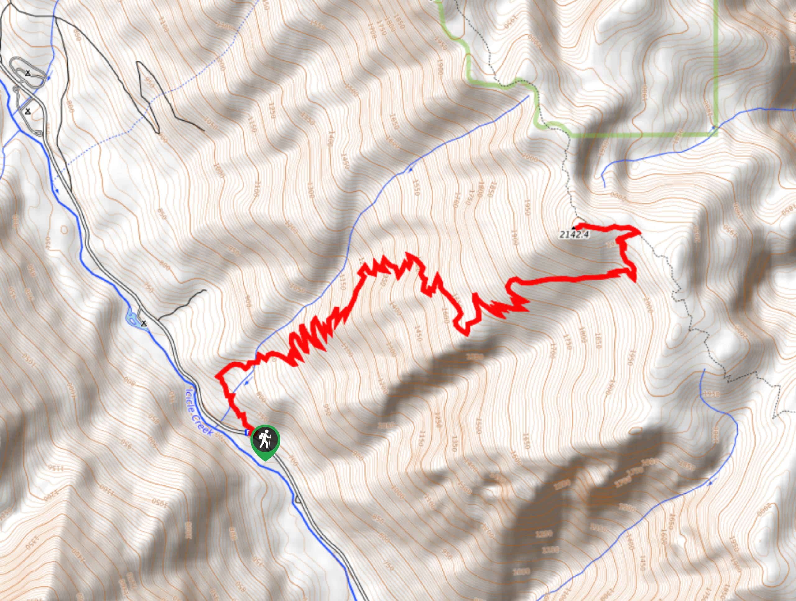
Icicle Ridge Trail is a grind, and the approach via Fourth of July Creek isn’t any different than the traditional Icicle Ridge Trail. Over the course of seemingly never-ending switchbacks, you’ll climb to a ridgetop with views over the valley below and the forest beyond. This 10.6mi hike is moderately trafficked. If you can, try to plan this hike when the fall colors are at their best.
Getting there
The trailhead for Icicle Ridge via Fourth of July Creek Trail is off FS 76.
About
| Backcountry Campground | No |
| When to do | April-September |
| Pets allowed | Yes |
| Family friendly | No |
| Route Signage | Average |
| Crowd Levels | Moderate |
| Route Type | Out and back |
Icicle Ridge via Fourth of July Creek Trail
Elevation Graph
Weather
Icicle Ridge via Fourth of July Creek Trail Description
Icicle Ridge Trail is a steep, challenging hike. This approach is longer and harder than the traditional route, so only pick this one if you’re game for a challenge. It’s a consistent uphill battle, so bring your poles and prepare for a sweaty trip. We love this hike when the fall colors are out. We strongly recommend bringing poles for this hke.
Begin from the trailhead. The way to the top is simple, if not easy. You’ll follow too many switchbacks to count up, up, and up. There are no intersecting trails to consider until you’re atop the ridge, so just keep going. At the top, turn left onto the ridge summit and take a well-earned rest, reveling in the views before it’s time to descend.
Similar hikes to the Icicle Ridge via Fourth of July Creek Trail hike

Earl Peak via Bean Creek Trail
Earl Peak via Bean Creek Trail is a hard hike with varied scenery. The trail is 6.5mi long…

Seven Fingered Jack Hike
Seven Fingered Jack is a hike suitable for experienced hikers who are comfortable with loose rocky scrambles that lack a…

Little Giant Pass Hike
Little Giant Pass is a 8.5mi hike in Okanogan-Wenatchee National Forest. This hike is tough, but it’s kept…


Comments