

Schaefer Lake Hike
View PhotosSchaefer Lake Hike
Difficulty Rating:
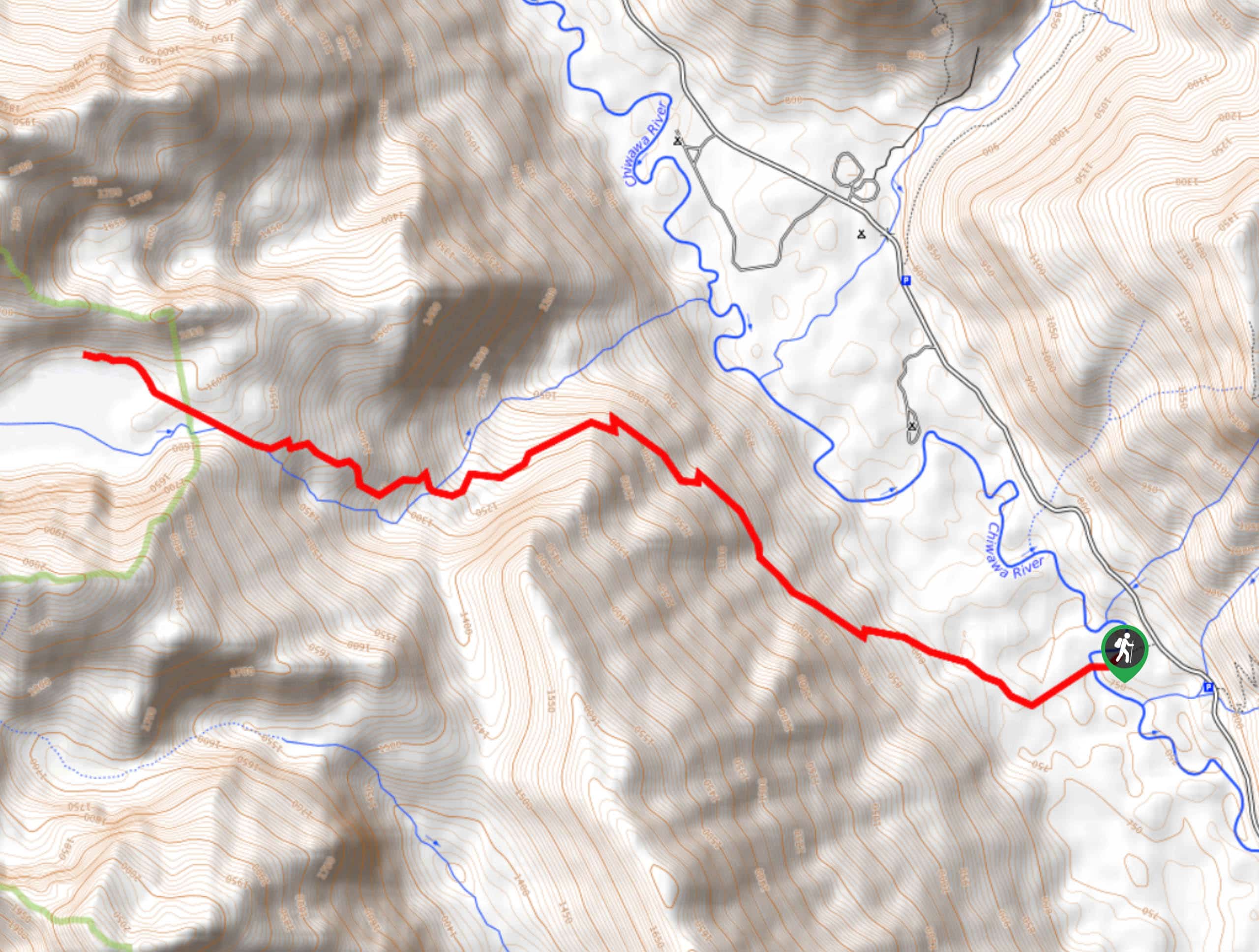
Schaefer Lake is an 8.6mi moderately difficult hike that doesn’t see very much traffic at all. This trail is best suited to the adventurous hiker thanks to the overgrowth it experiences. There are also sections with standing water where wading shoes are highly recommended- as is bug spray! If you can put up with a bit of bushwhacking, the lake is serene and beautiful.
Getting there
The trailhead for the Schaefer Lake hike is northwest of Finner Creek Campground on Chiwawa River Road.
About
| Backcountry Campground | Finner Creek |
| When to do | May-November |
| Pets allowed | Yes - On Leash |
| Family friendly | Older Children only |
| Route Signage | Poor |
| Crowd Levels | Low |
| Route Type | Out and back |
Schaefer Lake Hike
Elevation Graph
Weather
Schaefer Lake Hike Description
Schaefer Lake is beautiful and peaceful, but the hike to get there can’t claim the same. If you’re game for a bit of bushwhacking, standing water, and mosquito-evading, it’s a very enjoyable experience. Grab some huckleberries if you’re hiking in late summer.
Beginning from the road, head towards the creek. The crossing is neat, with a large spanning log jam helping you over. Enter the cedar grove and watch for slick, muddy spots. This is where the puddles and mosquitoes tend to be. Get through the grove and contend with the worst area of overgrowth, keeping an eye on your GPS track to make sure you stay on the trail. After this, you’ll begin to ascend and the trail clears out a bit. Work through the elevation gain to reach Schaefer, where you can relax and enjoy the fruits of your labor.
When you’re ready, you’ll follow the same route back to the trailhead.
Similar hikes to the Schaefer Lake Hike hike

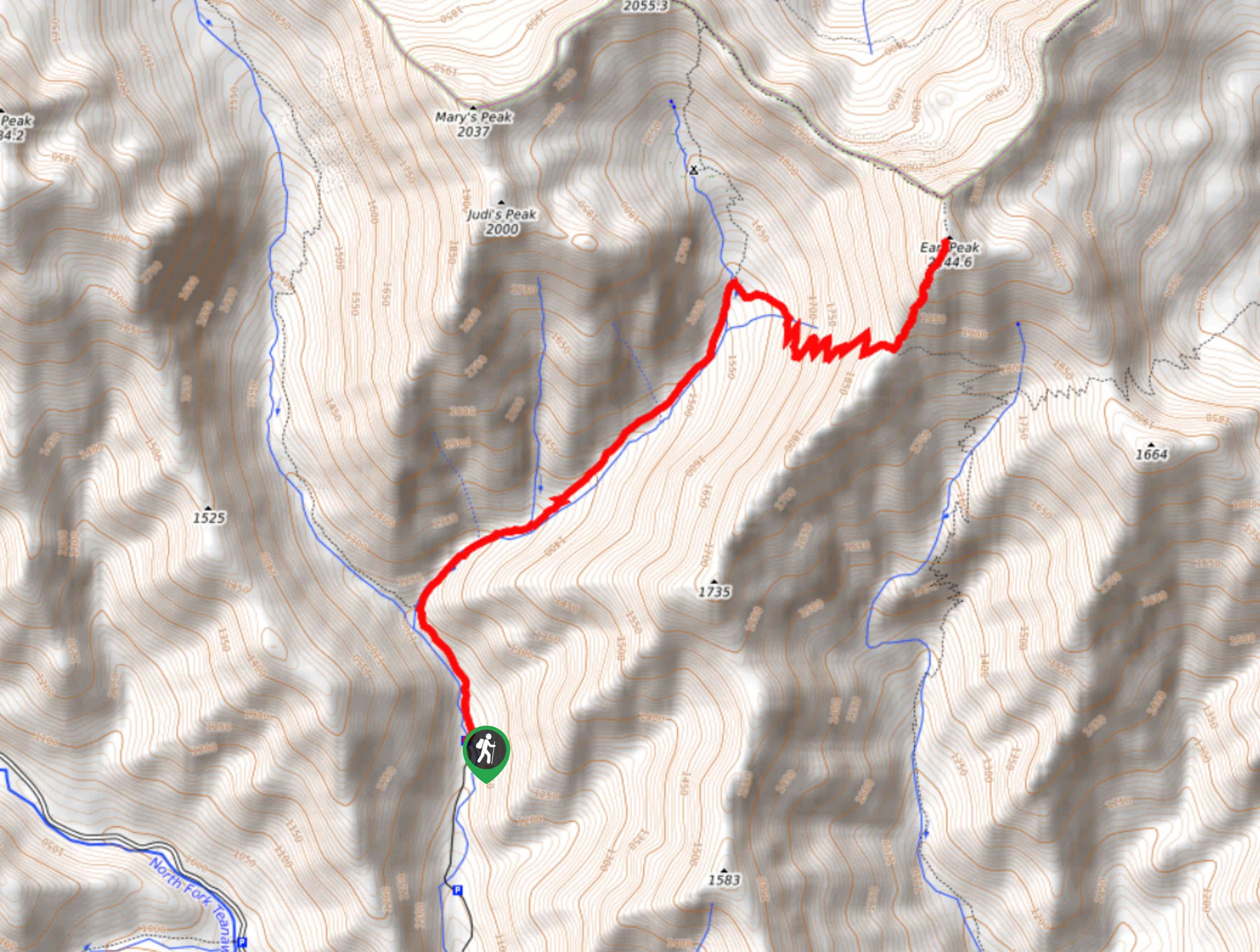
Earl Peak via Bean Creek Trail
Earl Peak via Bean Creek Trail is a hard hike with varied scenery. The trail is 6.5mi long…

Little Giant Pass Hike
Little Giant Pass is a 8.5mi hike in Okanogan-Wenatchee National Forest. This hike is tough, but it’s kept…

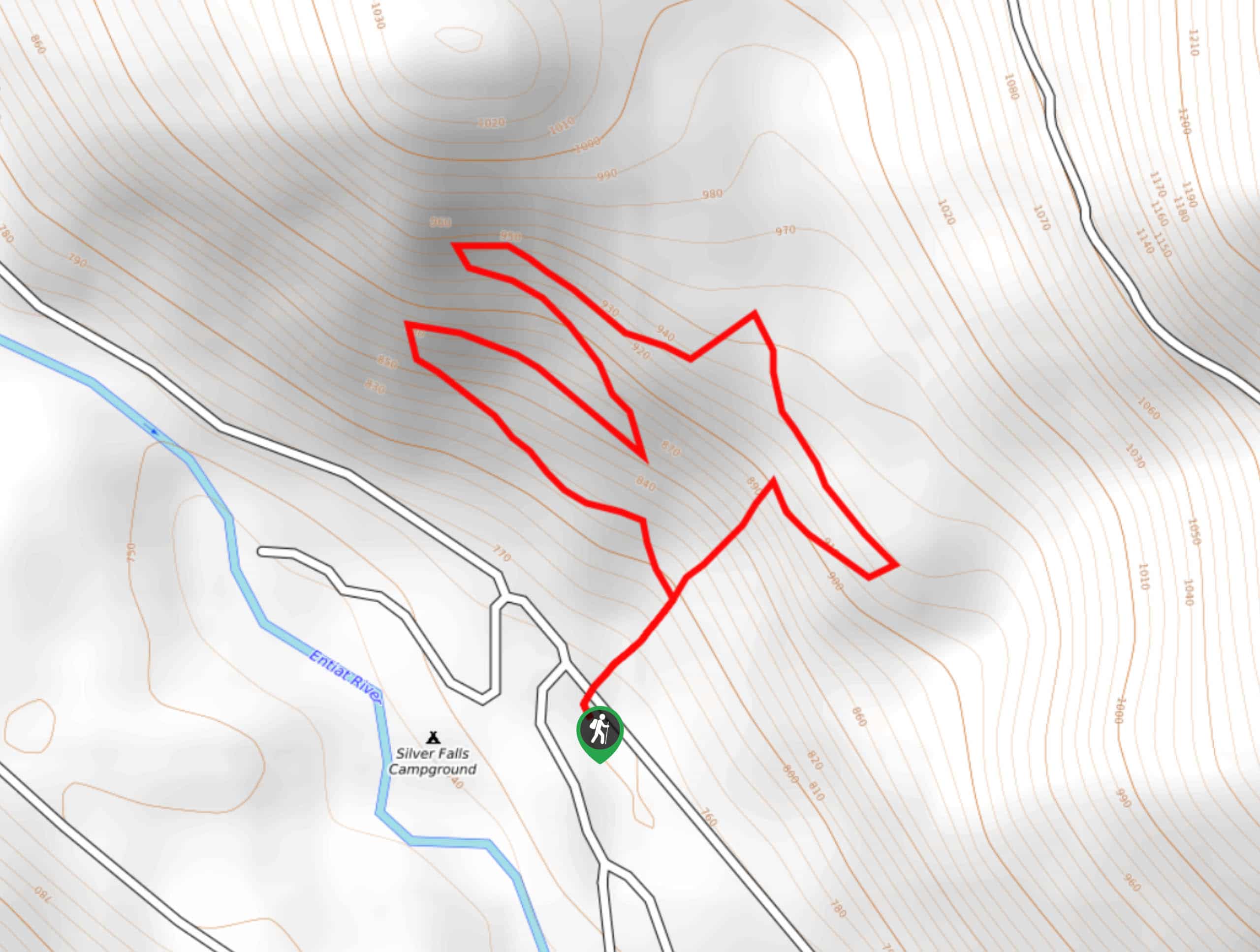
Silver Falls Trail
Silver Falls Trail is a delightful hike suitable for the whole family. It takes you into a fascinating canyon with…


Comments