

Longs Pass Trail
View PhotosLongs Pass Trail
Difficulty Rating:
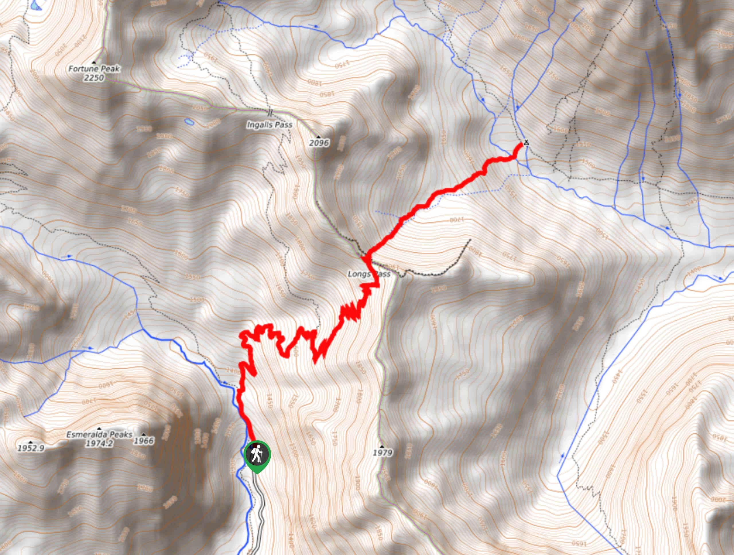
Longs Pass Trail is a unique hike in Okanogan-Wenatchee National Forest. This trail clocks in at 7.0mi with a staggering 3271ft of elevation gain packed into that relatively moderate distance, but you don’t need to complete the entire trail to get the best views. This trail sees moderate traffic.
Getting there
The trailhead for Longs Pass Trail is at the end of N Fork Teanaway Road. There is parking here.
About
| Backcountry Campground | Ingalls Creek Camp |
| When to do | March-October |
| Pets allowed | No |
| Family friendly | No |
| Route Signage | Average |
| Crowd Levels | Moderate |
| Route Type | Out and back |
Longs Pass Trail
Elevation Graph
Weather
Longs Pass Trail Description
Longs Pass Trail is a stunning route with unbeatable views of Mount Stuart. The hike is a hard one, but the good news is that you can hike to the ridge, get the best views, and then return. Going into the basin is optional. It adds a serious amount of difficulty when it comes to the climb back out of the basin, but it’s an adventurous extension if you want to really work hard. If not, just hike onto the ridge and enjoy your panorama.
The parking lot at the trailhead fills quickly in the summer months, so make sure you arrive early. Additionally, take it slow on the road up, which is in mediocre condition. Start your hike through the tree-covered Teanaway Valley. You’ll come to a junction less than half a mile in. Turn right for Ingalls Way. Dogs are not permitted past this point on the trail. The elevation gain picks up slightly as you climb up to Ingalls Pass. About 1.4mi in, you’ll come to a junction with the trail to Longs Pass. Take this trail for another 1.8mi of switchbacks. The views on the ridge are incredible! This is where you can either turn around or head down into the basin.
If you go into the basin, expect loose rock, slippery trails, and some routefinding required. The trail is quite steep and there are no switchbacks to help you out. You can go as far as Ingalls Creek Camp before turning back.
Similar hikes to the Longs Pass Trail hike

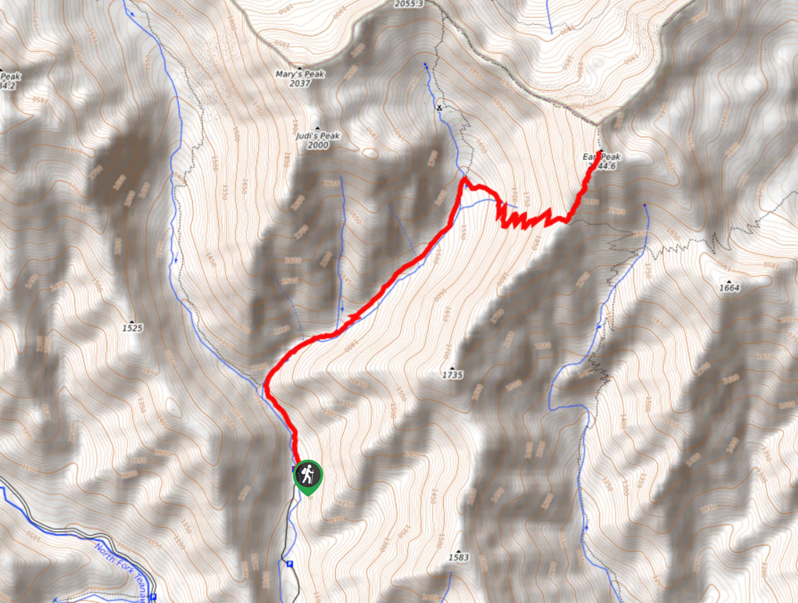
Earl Peak via Bean Creek Trail
Earl Peak via Bean Creek Trail is a hard hike with varied scenery. The trail is 6.5mi long…

Seven Fingered Jack Hike
Seven Fingered Jack is a hike suitable for experienced hikers who are comfortable with loose rocky scrambles that lack a…

Little Giant Pass Hike
Little Giant Pass is a 8.5mi hike in Okanogan-Wenatchee National Forest. This hike is tough, but it’s kept…


Comments