

Budock Water and the Lakes Walk
View PhotosBudock Water and the Lakes Walk
Difficulty Rating:
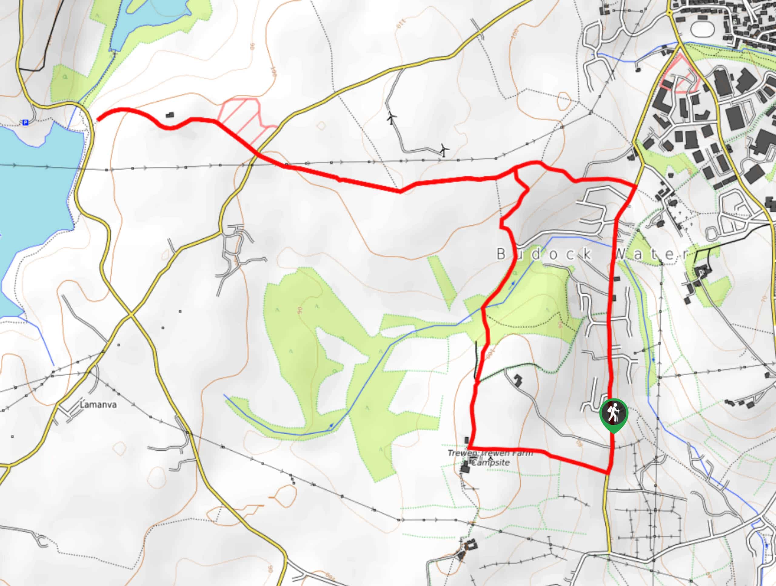
The Budock Water and the Lakes Walk is an easy-going adventure set in the Cornish countryside that will take you around a small village to visit several beautiful reservoirs. While out walking the trail, you will make your way through the open fields and stretches of woodland surrounding Budock Water, before reaching the edge of the Argal and College reservoirs. This is a fantastic walking route if you are simply looking to take in the natural beauty of the Cornish landscape.
Getting there
The trailhead for the Budock Water and the Lakes Walk can be found along Trewen Road, just south of the village of Budock Water.
About
| Backcountry Campground | No |
| When to do | Year-Round |
| Pets allowed | Yes - On Leash |
| Family friendly | Yes |
| Route Signage | Average |
| Crowd Levels | Moderate |
| Route Type | Lollipop |
Budock Water and the Lakes Walk
Elevation Graph
Weather
Budock Water and the Lakes Walk Description
Featuring pleasant farmland, tranquil forests, beautifully scenic reservoirs, and a charming village, the Budock Water and the Lakes Walk has everything that you will need for a fun day of exploring the trails in Cornwall.
Setting out from the trailhead, you will initially make your way south along Trewan Road, before tutoring west along a quiet lane. From here, you will follow a footpath that branches off to the north in order to lead you across the picturesque Cornish farmland and through several small stretches of forest to the west of the village of Budock Water.
Eventually, you will turn west at a junction and make your way across a number of fields to reach the terminus of the route near the shores of the Argal Reservoir and College Reservoir. Heare, you can spend as much time as you wish exploring the landscape surrounding the water, before heading back along the same trail towards the east. Instead of turning off to the south, continue on to the east until you meet up with Trewan Road, following it south through the charming village of Budock Water to return to the trailhead.
Similar hikes to the Budock Water and the Lakes Walk hike
Restronguet Passage Circular Walk
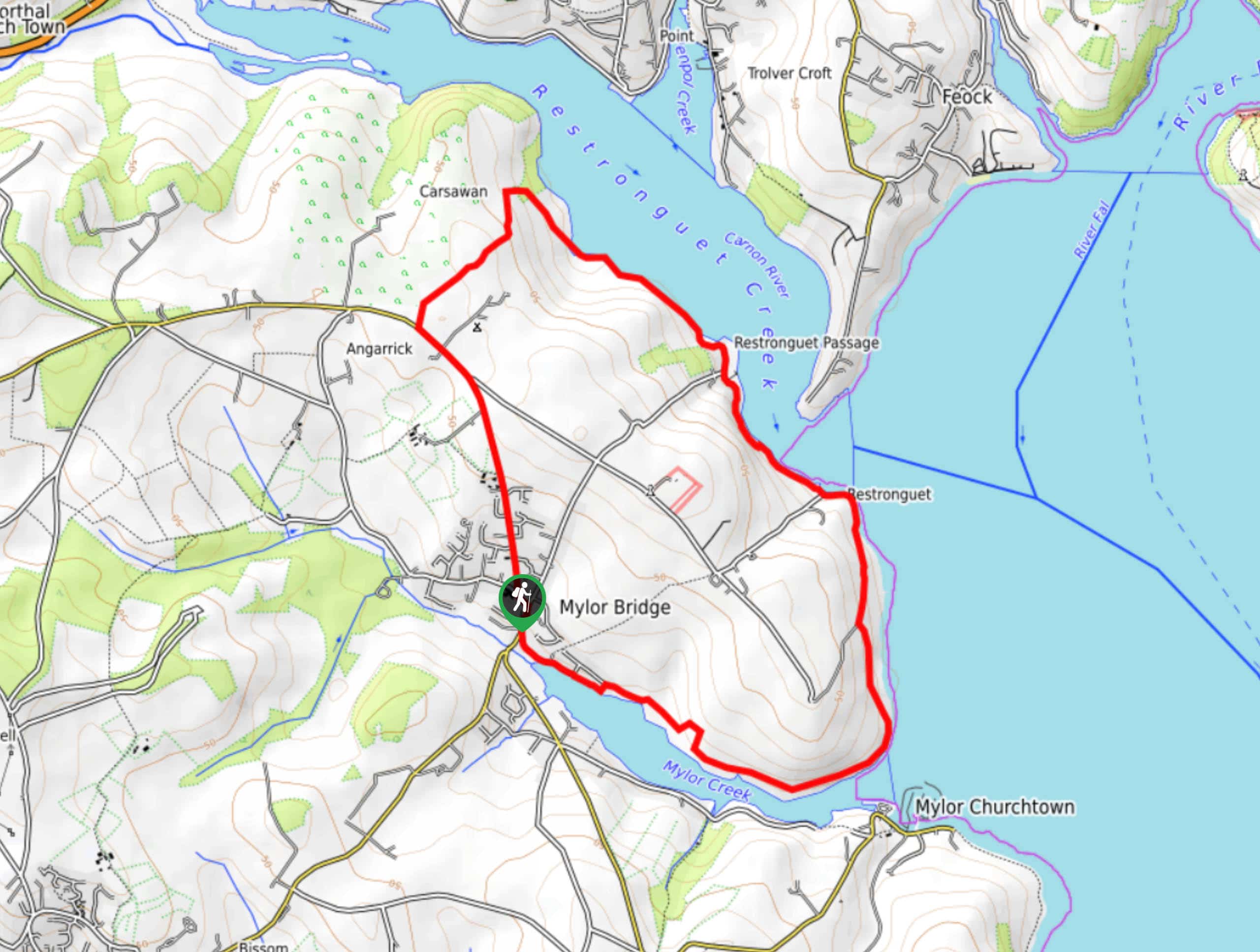
The Restronguet Passage Circular Walk is a fantastic outdoor excursion in Cornwall that offers beautifully scenic views overlooking a number…
Crantock and The Gannel Circular Walk
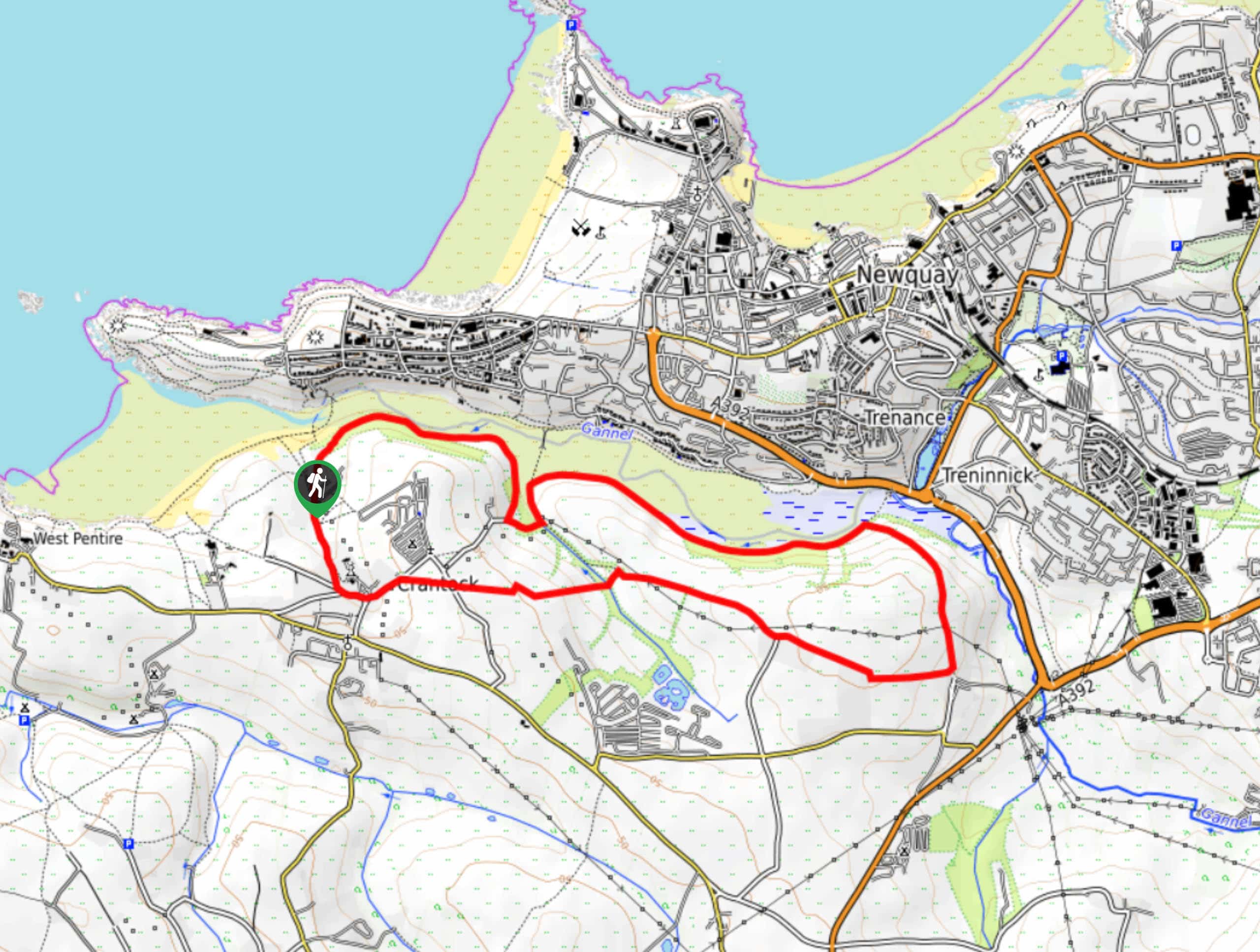
The Crantock and The Gannel Circular Walk is a beautifully scenic adventure near Newquay, Cornwall that will lead you through…
Egloshayle Circular Walk
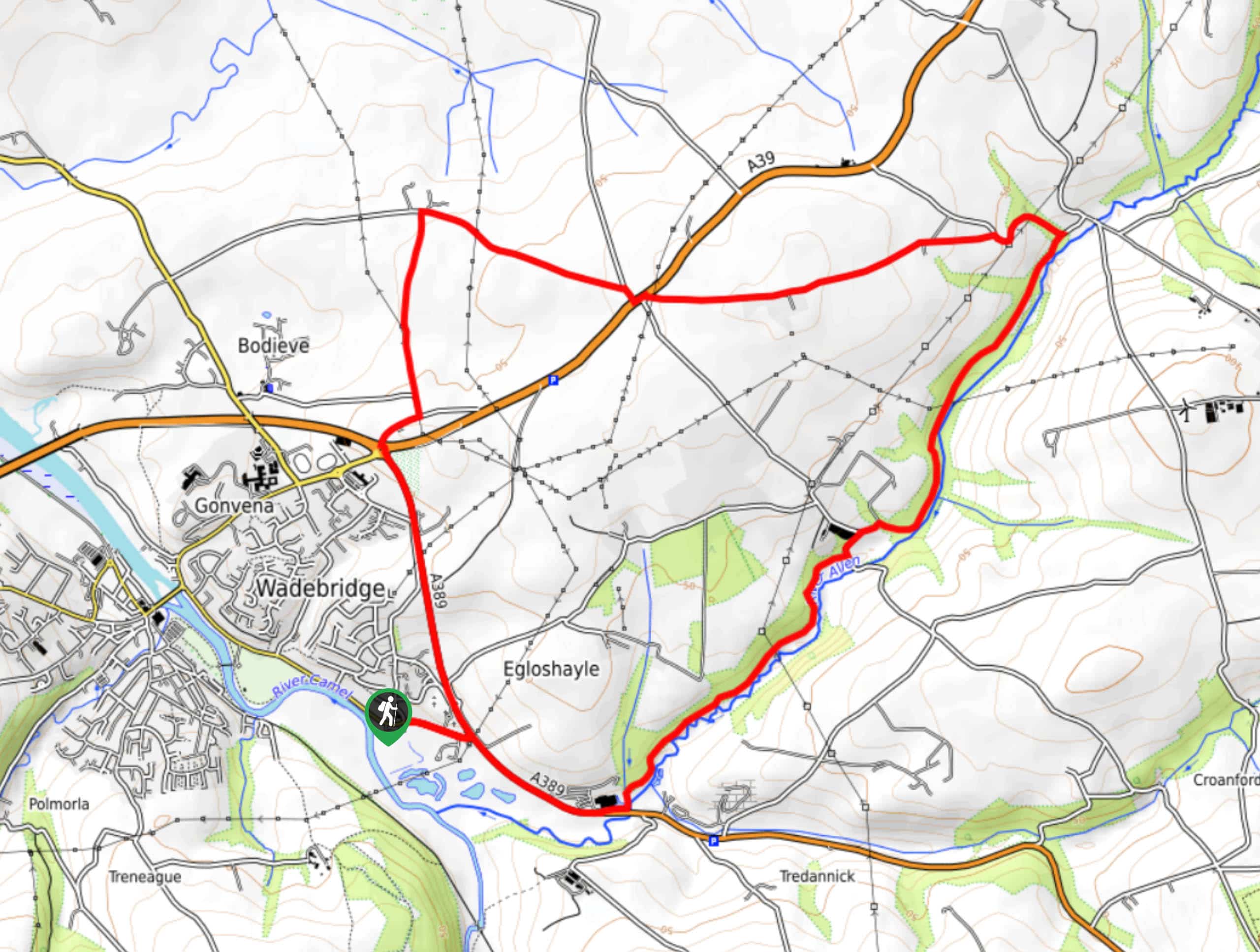
The Egloshayle Circular Walk is a great outdoor excursion set in the Cornish countryside that will expose you to a…


Comments