

Clay Trails and Menacuddle Well Walk
View PhotosClay Trails and Menacuddle Well Walk
Difficulty Rating:
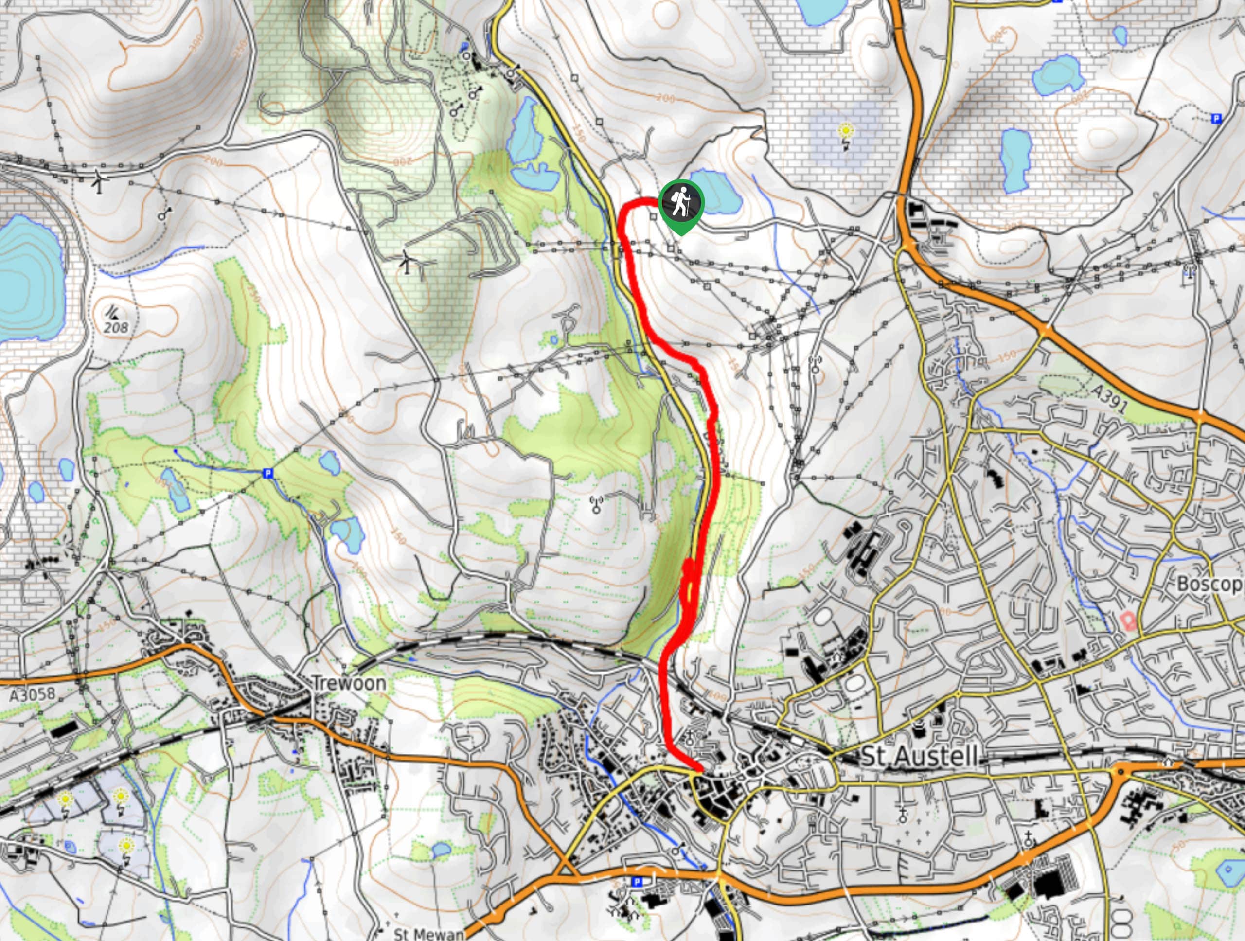
The Clay Trails and Menacuddle Well Walk is a nice walking route near St Austell, Cornwall that will take you through a lovely valley along the banks of the St Austell River. While out walking the trail, you will pass through the woodland terrain and open fields that border the edge of the river, stopping off at the historic Menacuddle Well and a nearby waterfall, before completing the return leg back to the trailhead. This is an excellent adventure within close distance to the heart of St Austell.
Getting there
The trailhead for the Clay Trails and Menacuddle Well Walk can be found along Drummer’s Hill near the Ruddle Pit, just 2.0mi north of St Austell.
About
| Backcountry Campground | No |
| When to do | Year-Round |
| Pets allowed | Yes - On Leash |
| Family friendly | Yes |
| Route Signage | Average |
| Crowd Levels | Moderate |
| Route Type | Out and back |
Clay Trails and Menacuddle Well Walk
Elevation Graph
Weather
Clay Trails and Menacuddle Well Walk Description
If you find yourself in and around St Austell and are wanting to explore the natural beauty and history of Cornwall without straying too far from town, then the Clay Trails and Menacuddle Well Walk is the perfect route to do so.
Setting out from the trailhead, you will make your way to the southwest along the road, where you will pick up a footpath leading more directly to the south. With Bodmin Road and the St Austell River on your right, you will traverse a scenic valley landscape consisting of fields and lovely forests, before arriving in the heart of St Austell. This is a great opportunity to check out the shops or pop into a cafe/restaurant if you are so inclined.
After exploring the town, you will head back to the north along the same route, keeping left along Bodmin Road in order to reach the beautifully scenic site of the Menacuddle Well. Here, you will find a waterfall, in addition to a Holy Well/baptistry that dates back hundreds of years and was only recently uncovered after local volunteers helped clear away years of overgrowth. After visiting the site, make your way back along Bodmin Road to rejoin your initial path from the beginning of your walk, following it all the way back to the trailhead where you began.
Similar hikes to the Clay Trails and Menacuddle Well Walk hike

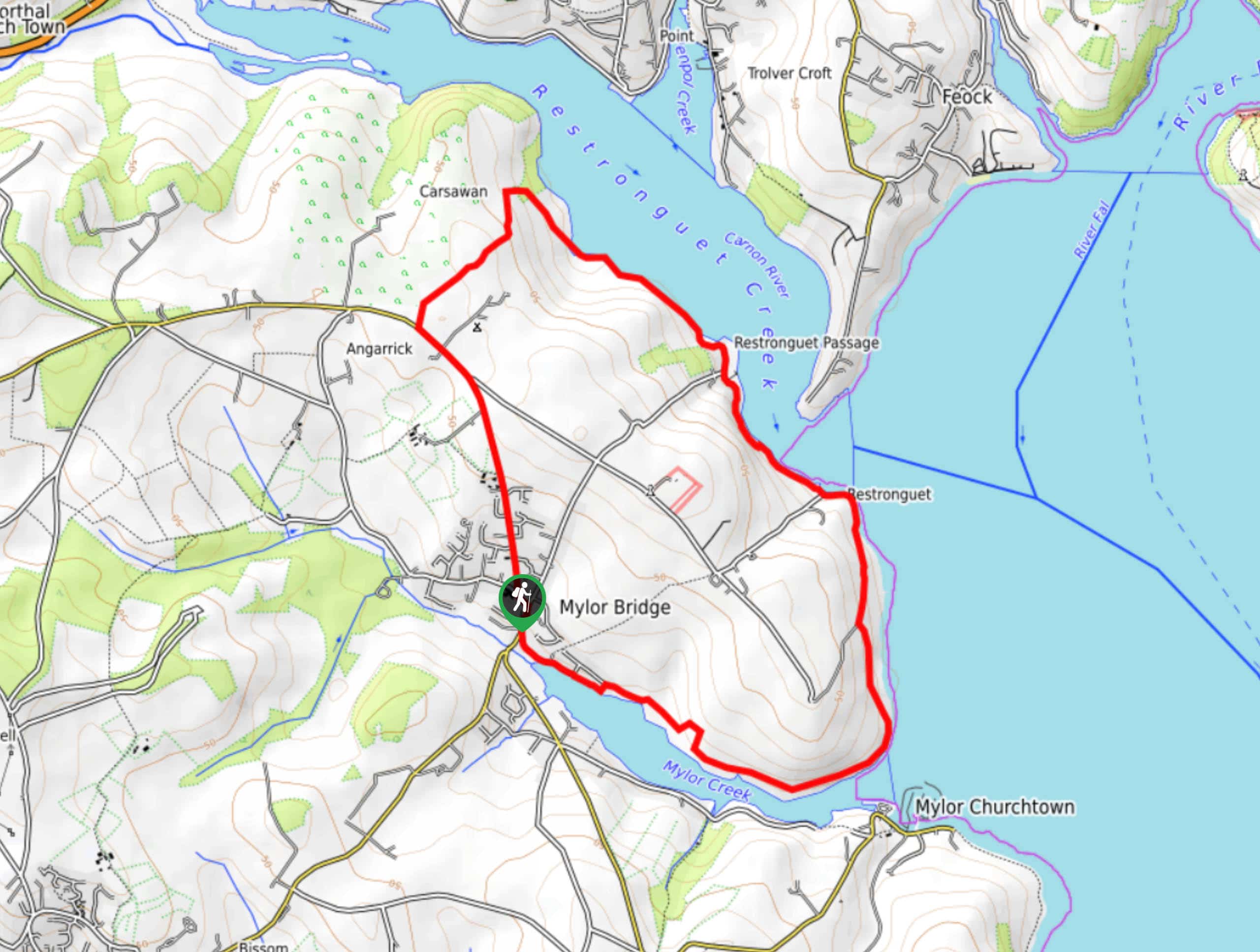
Restronguet Passage Circular Walk
The Restronguet Passage Circular Walk is a fantastic outdoor excursion in Cornwall that offers beautifully scenic views overlooking a number…

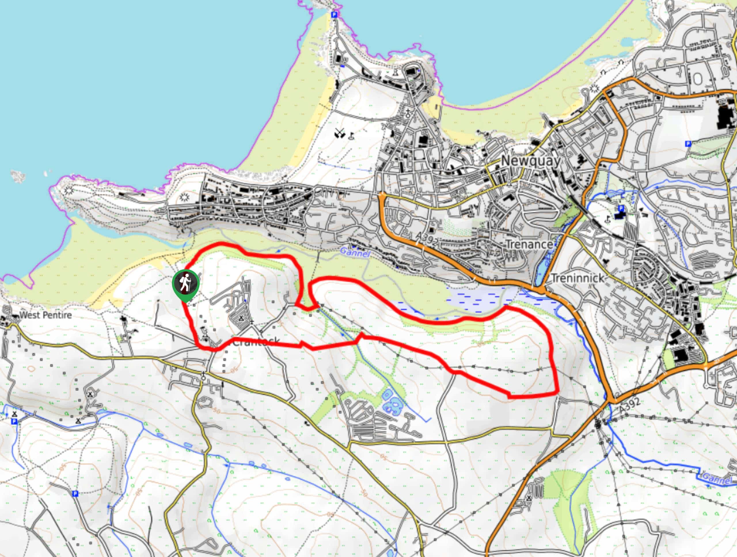
Crantock and The Gannel Circular Walk
The Crantock and The Gannel Circular Walk is a beautifully scenic adventure near Newquay, Cornwall that will lead you through…

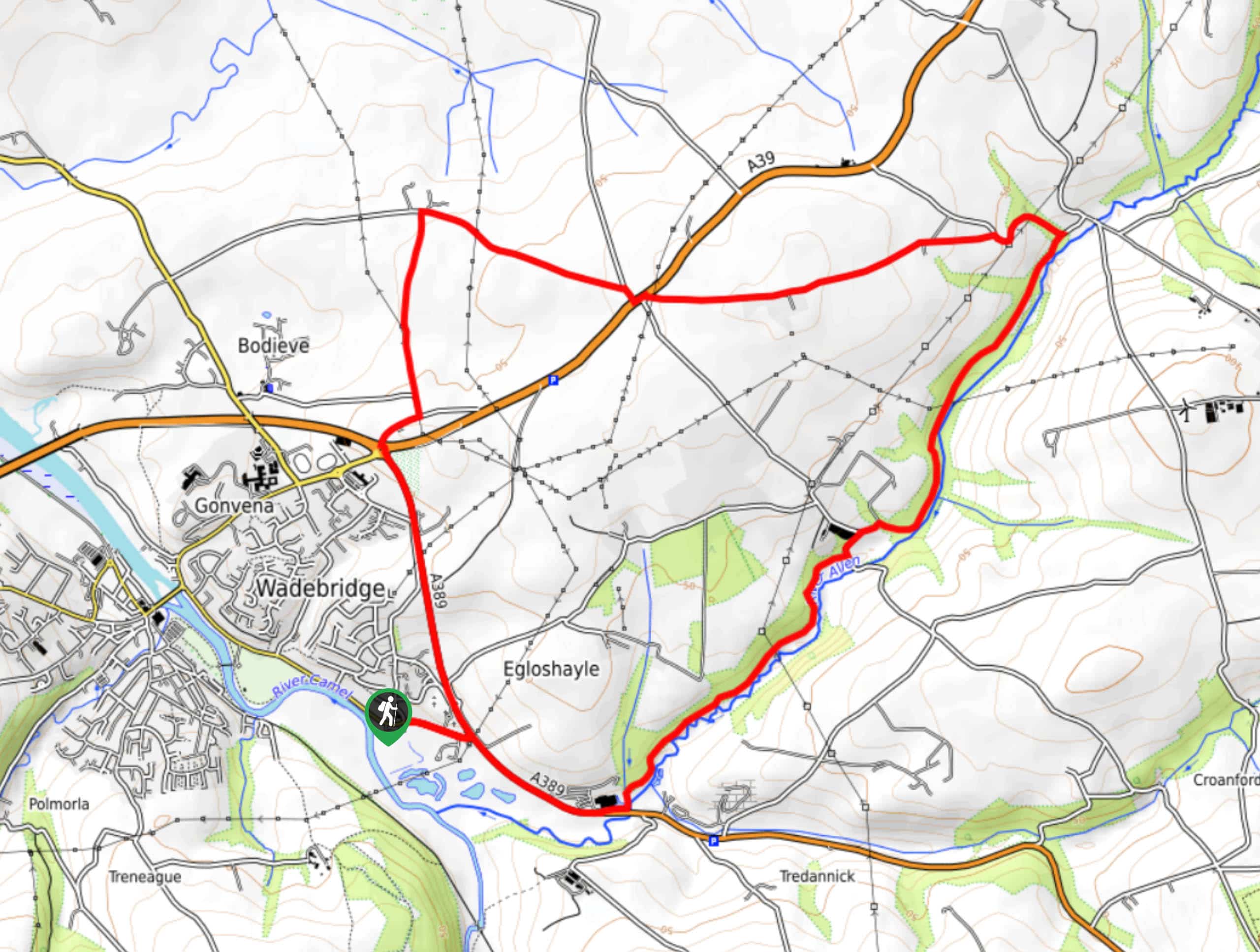
Egloshayle Circular Walk
The Egloshayle Circular Walk is a great outdoor excursion set in the Cornish countryside that will expose you to a…


Comments