Camel Trail: Padstow to Bodmin
View Photos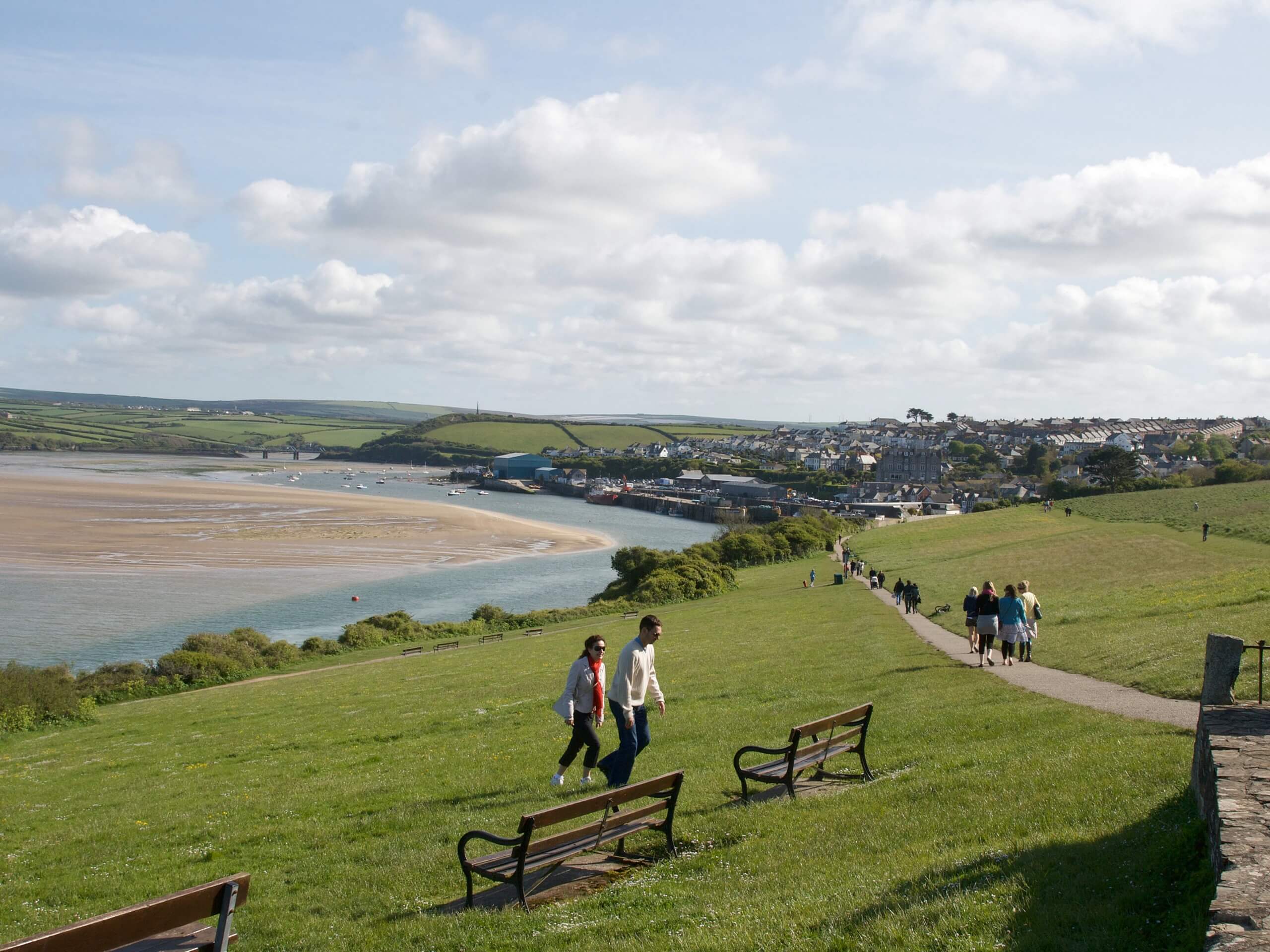
Camel Trail: Padstow to Bodmin
Difficulty Rating:
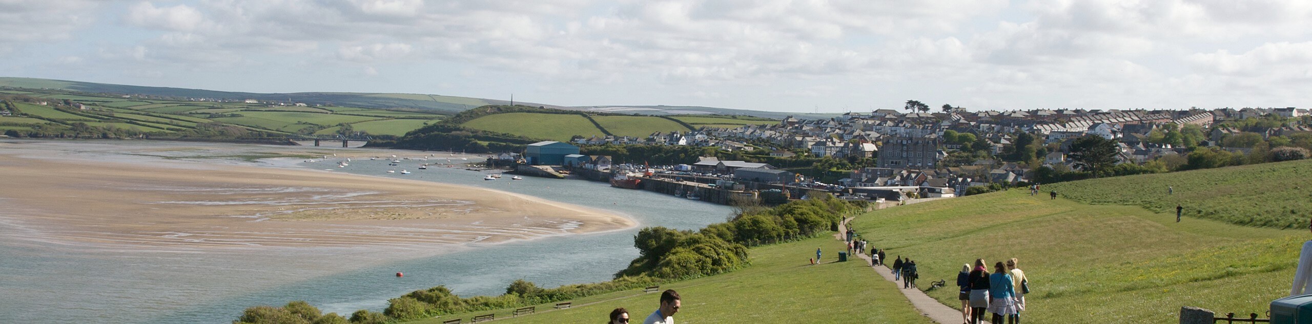
The Camel Trail: Padstow to Bodmin is an amazing long distance walking route in Cornwall that will allow you to experience the natural beauty of one of the region’s waterways. While out walking the trail, you will make your way along the banks of the Camel Estuary, following the water’s edge as it narrows into the River Camel and snakes across the countryside to reach the town of Bodmin. Walkers should take note that this is a one-way route, so you will need to either retrace your steps or arrange some form of transit for the return portion.
Getting there
The trailhead for the Camel Trail: Padstow to Bodmin can be found at the car park next to the Padstow Boatyard.

About
| Backcountry Campground | No |
| When to do | Year-Round |
| Pets allowed | Yes - On Leash |
| Family friendly | Older Children only |
| Route Signage | Average |
| Crowd Levels | Moderate |
| Route Type | One Way |
Camel Trail: Padstow to Bodmin
Elevation Graph
Weather
Camel Trail: Padstow to Bodmin Route Description
If you are a fan of lovely riverside settings and exploring the picturesque Cornish countryside, then you will be sure to love the Camel Trail: Padstow to Bodmin. This fantastic walk will lead you along the River Camel and its estuary, offering a great opportunity to relax and reconnect with nature.
Setting out from the car park in Padstow, you will make your way to the southeast along the edge of the Camel Estuary, enjoying the views across the water as you traverse the terrain around Little Petherick Creek, Old Town Cove, and Pinkson Creek. From here, the estuary will begin to narrow into the River Camel, as it passes through the town of Wadebridge.
After making your way through the town, you will continue along the winding banks of the River Camil as it leads to the southeast, passing through stretches of open countryside and dense forest, before arriving at the end point of the walk in the town of Bodmin.
Similar hikes to the Camel Trail: Padstow to Bodmin hike
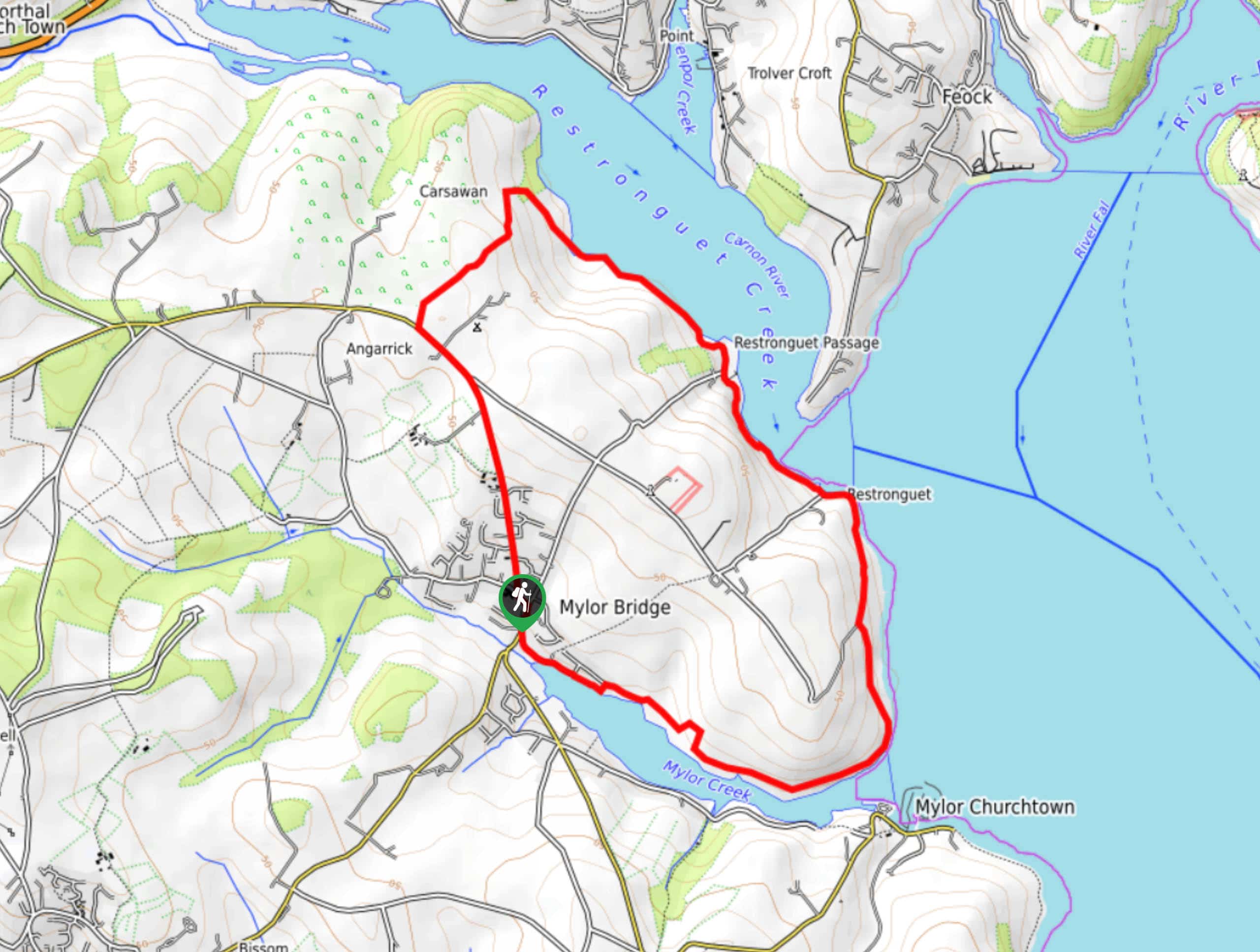
Restronguet Passage Circular Walk
The Restronguet Passage Circular Walk is a fantastic outdoor excursion in Cornwall that offers beautifully scenic views overlooking a number…
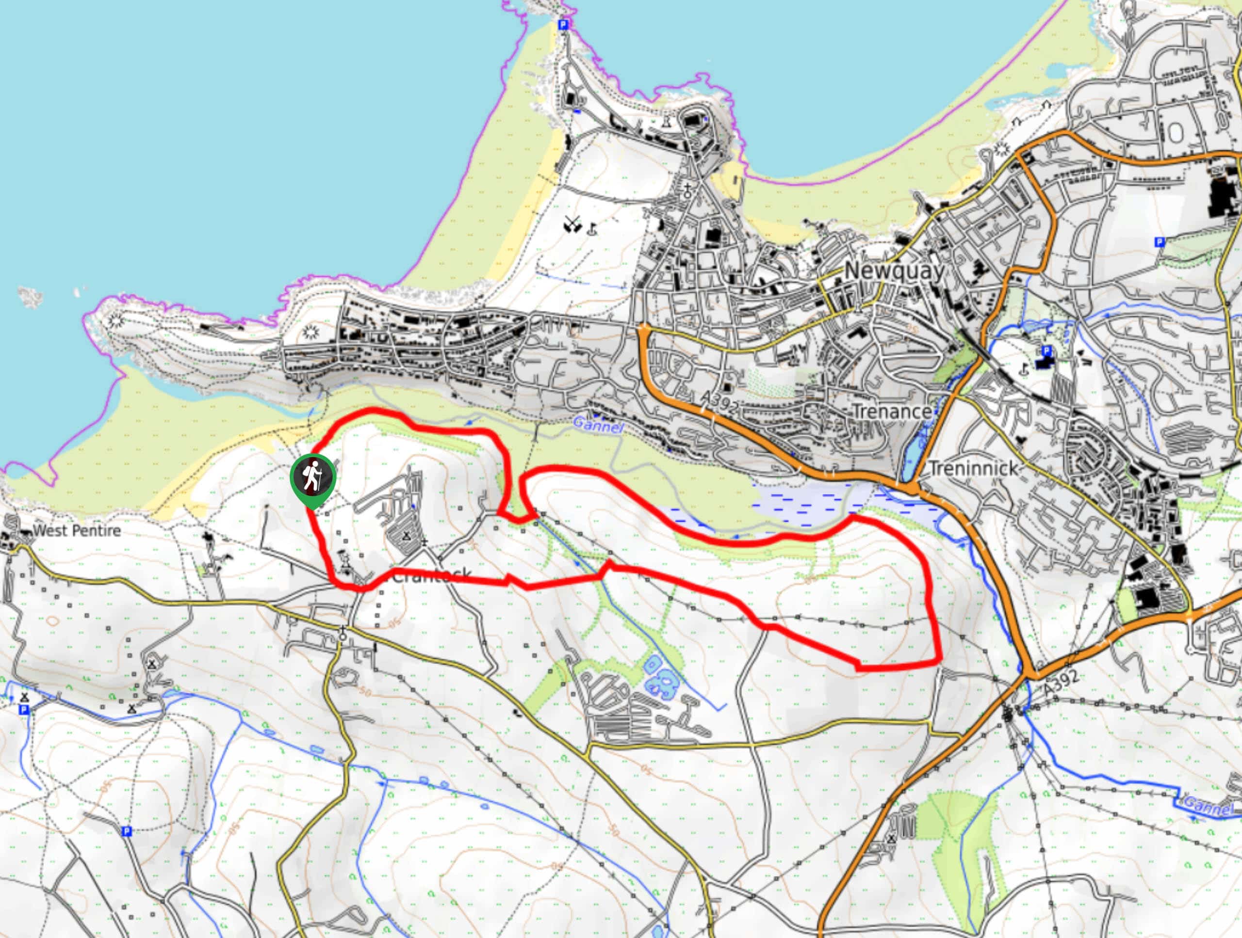
Crantock and The Gannel Circular Walk
The Crantock and The Gannel Circular Walk is a beautifully scenic adventure near Newquay, Cornwall that will lead you through…
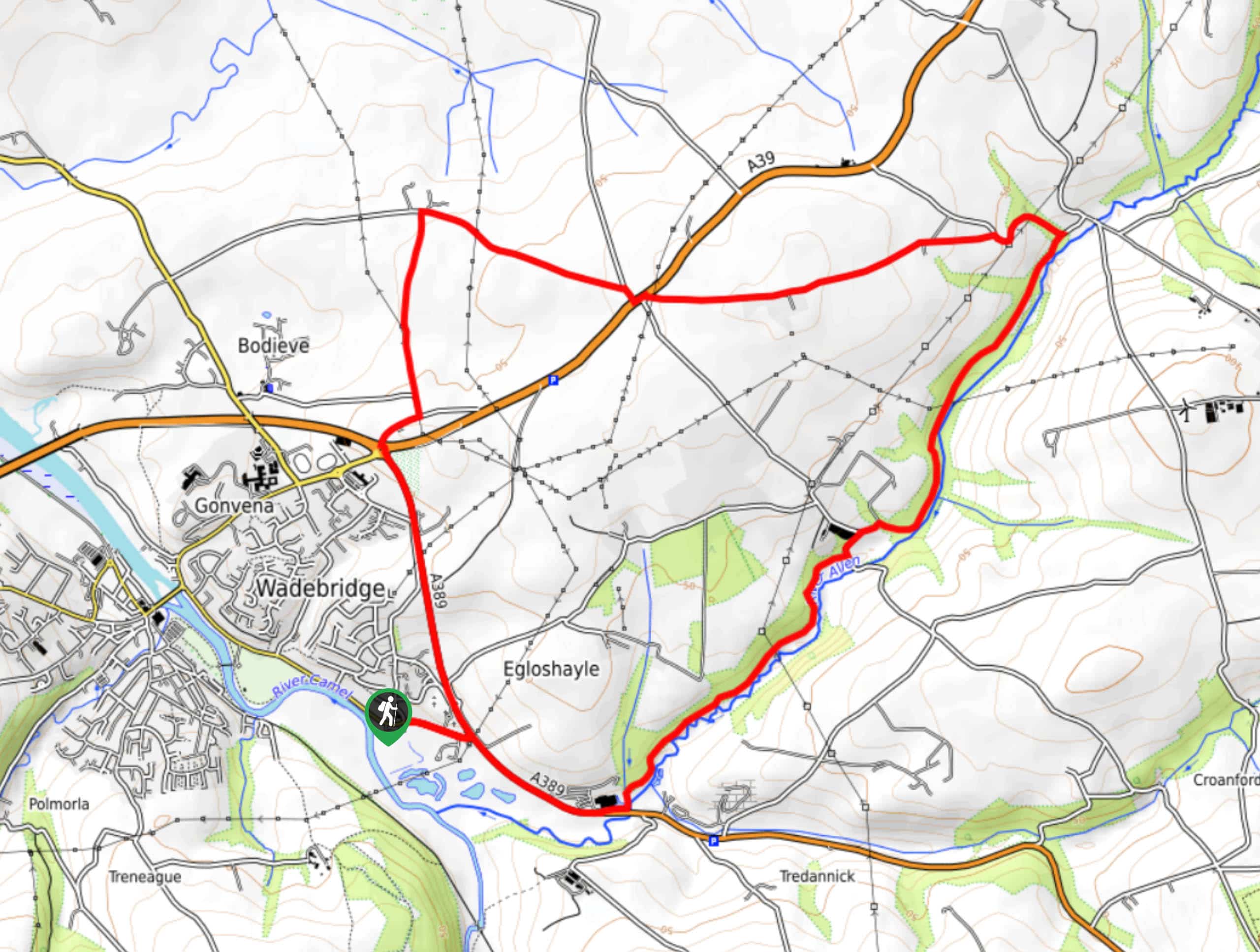
Egloshayle Circular Walk
The Egloshayle Circular Walk is a great outdoor excursion set in the Cornish countryside that will expose you to a…
Comments