

Pelynt Circular Walk
View PhotosPelynt Circular Walk
Difficulty Rating:
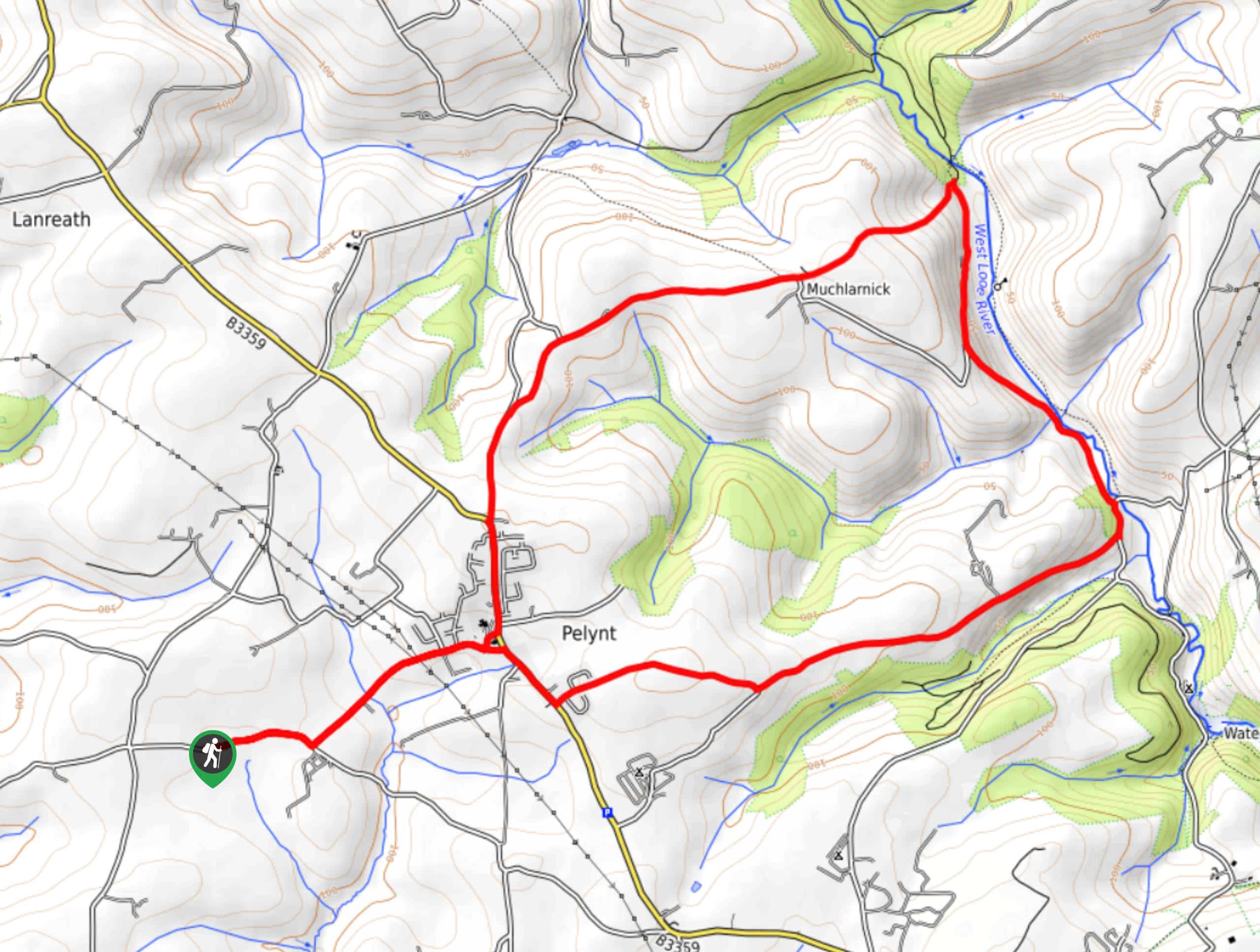
The Pelynt Circular Walk is an intermediate length route in Cornwall that will allow you to experience a variety of the terrain that can be found in the region. While out walking the trail, you will make your way into the village of Pelynt and traverse the open countryside surrounding it to reach the banks of the West Looe River, following it through a valley before climbing uphill through fields and forest on the return through the village. This is a great walk if you are looking for a bit of a longer route without adding too much difficulty.
Getting there
The trailhead for the Pelynt Circular Walk can be found 0.9mi southwest of the village of Pelynt, next to the Cartole Cottages.
About
| Backcountry Campground | No |
| When to do | Year-Round |
| Pets allowed | Yes - On Leash |
| Family friendly | Older Children only |
| Route Signage | Average |
| Crowd Levels | Moderate |
| Route Type | Lollipop |
Pelynt Circular Walk
Elevation Graph
Weather
Pelynt Circular Walk Description
Featuring lovely forests, open farmland, charming villages, and a relaxing riverside setting, the Pelynt Circular Walk is a great route if you are looking to get a bit of everything. Walkers should take note that the majority of the route follows along quiet country roadways, so make sure to wear appropriate footwear and exercise caution in regards to passing vehicles.
Setting out from the trailhead, you will make your way to the northeast along the road to eventually reach the village of Pelynt. From here, you will turn right along Summer Lane/B3349 and pass by the Jubilee Inn, which is a great spot for some mid-walk refreshments. Shortly after the inn, turn left along Beacons Road and follow it east until you meet up with the West Looe River.
After descending the hillside and arriving at the riverbank, you will follow the road as it turns north and runs parallel to the water, passing through a wooded valley until you arrive at a small building on the edge of the wood. Turning left here, you will make your way up the hillside in a southwestern direction, eventually meeting up with a road that will lead you south into the village of Pelynt. From here, you can take some time exploring the quaint village, or simply head back along the road from the initial stretch of your walk to return to your vehicle.
Similar hikes to the Pelynt Circular Walk hike

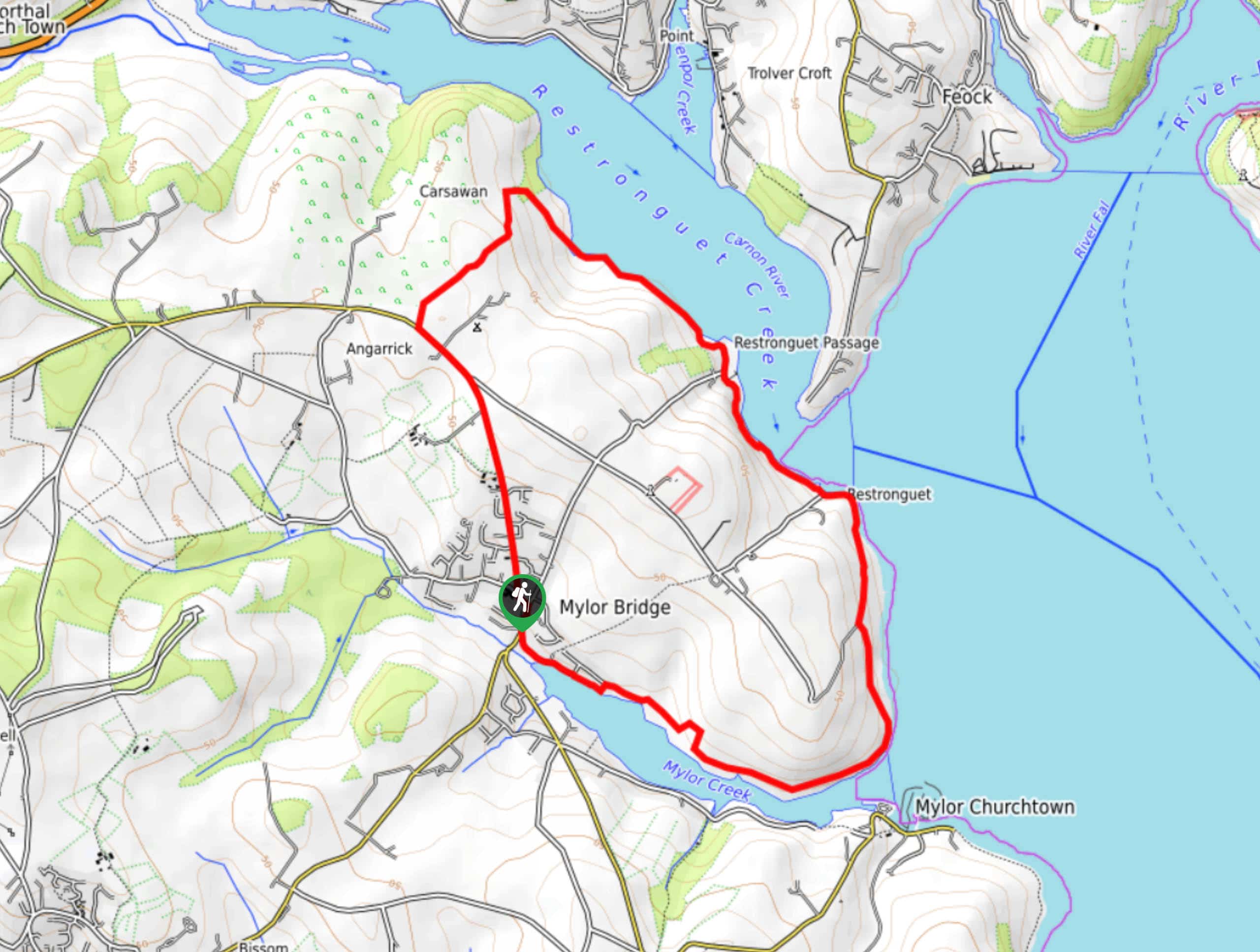
Restronguet Passage Circular Walk
The Restronguet Passage Circular Walk is a fantastic outdoor excursion in Cornwall that offers beautifully scenic views overlooking a number…

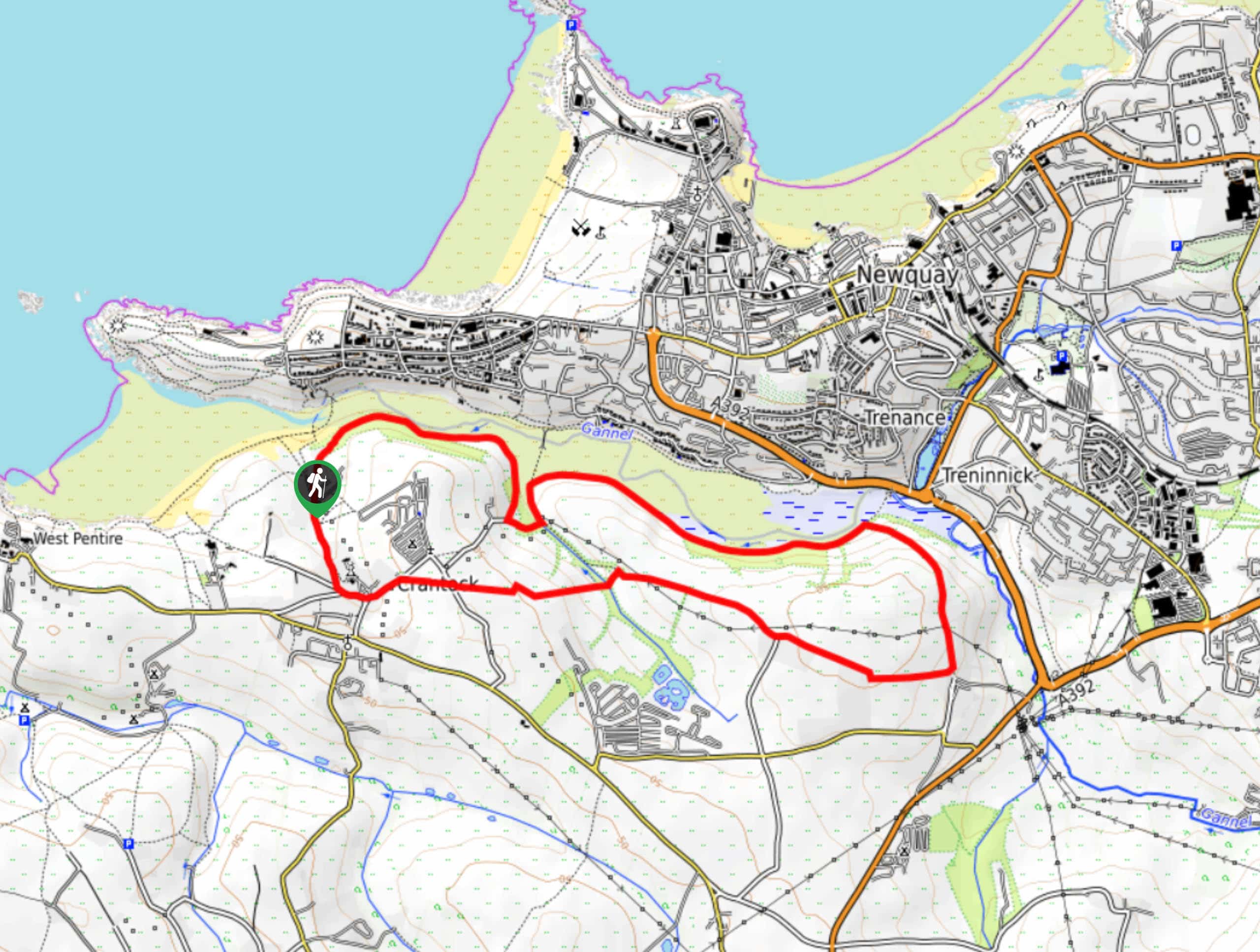
Crantock and The Gannel Circular Walk
The Crantock and The Gannel Circular Walk is a beautifully scenic adventure near Newquay, Cornwall that will lead you through…

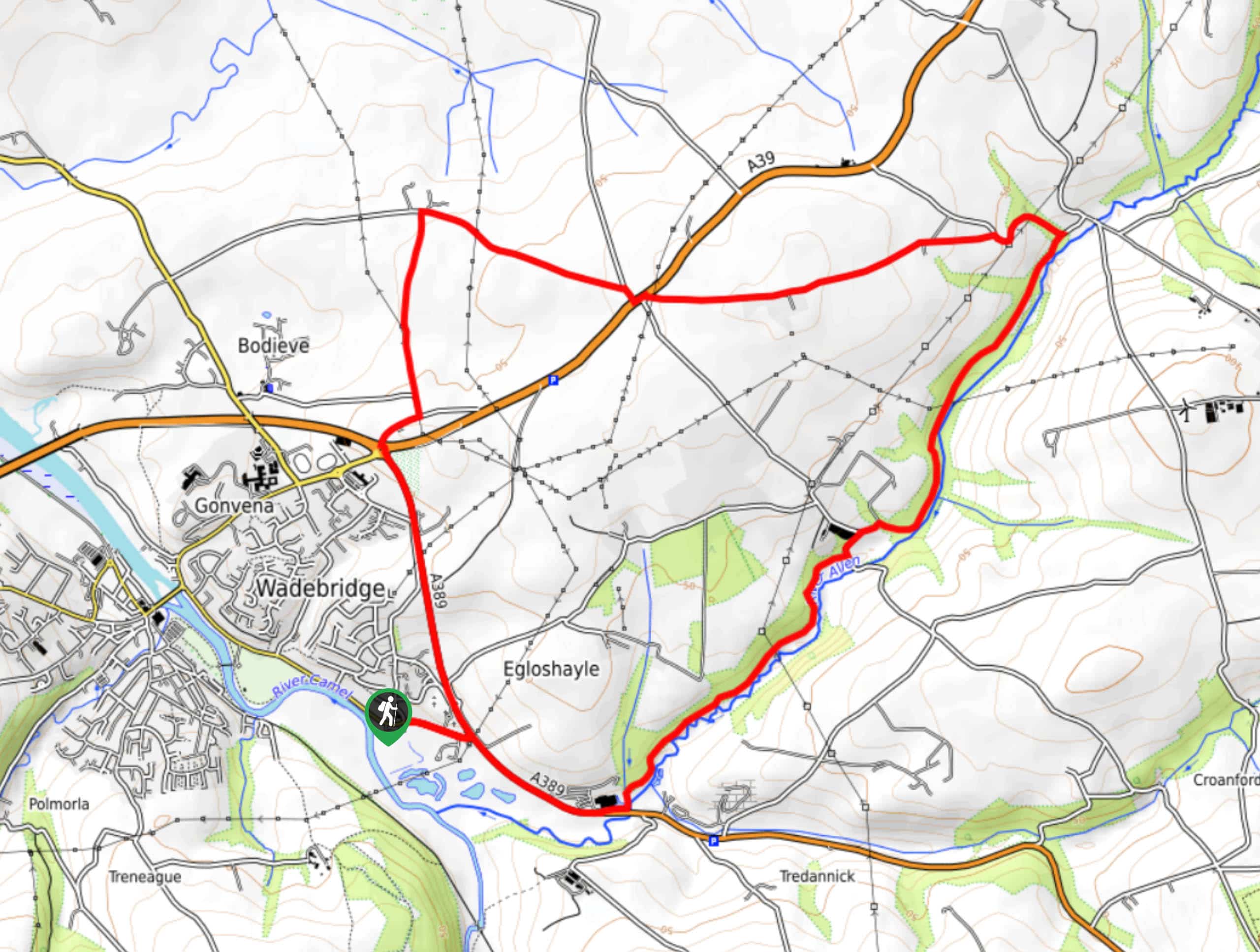
Egloshayle Circular Walk
The Egloshayle Circular Walk is a great outdoor excursion set in the Cornish countryside that will expose you to a…


Comments