

Bodmin Moor and Cheesewring Walk
View PhotosBodmin Moor and Cheesewring Walk
Difficulty Rating:
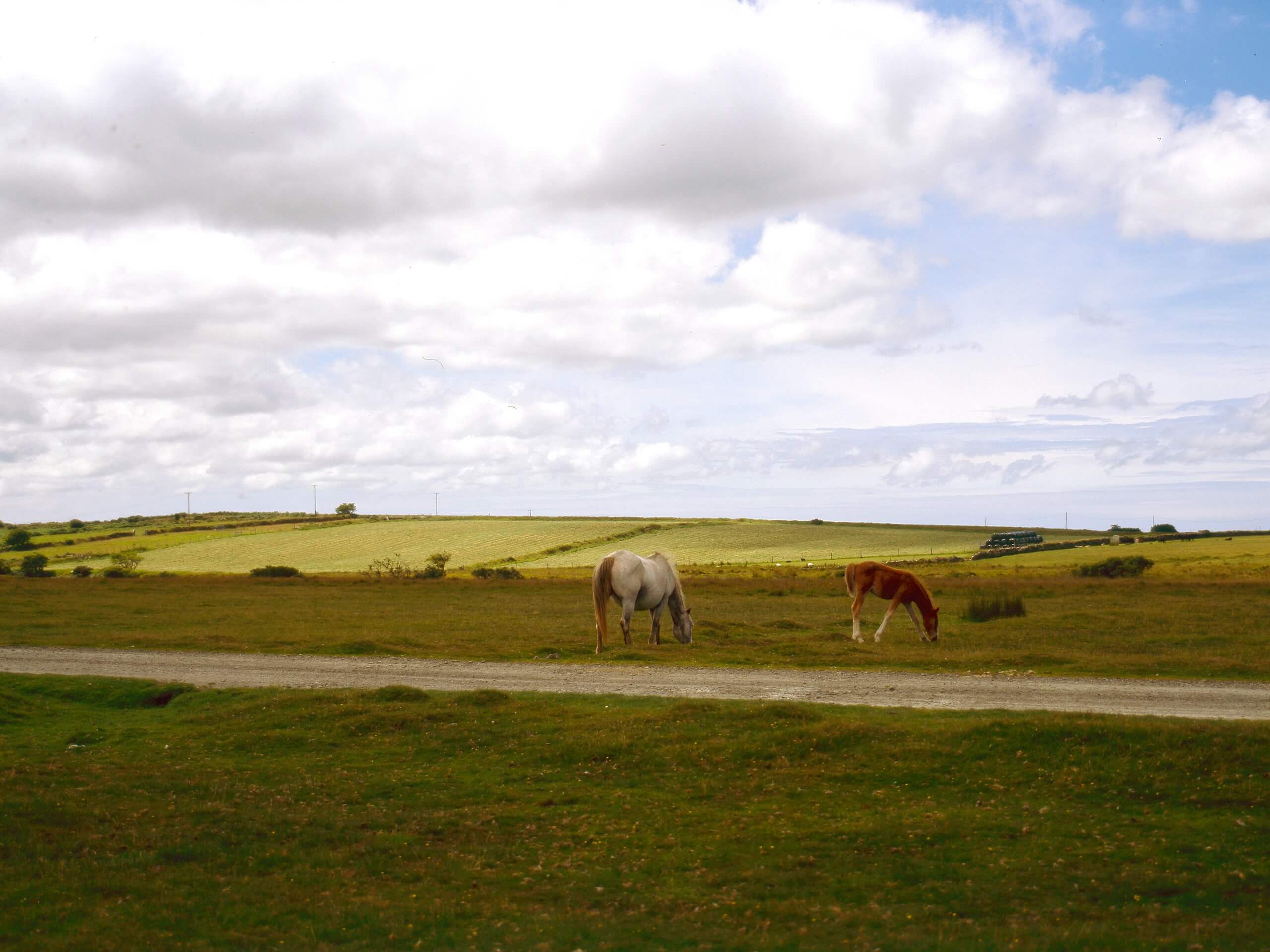
The Bodmin Moor and Cheesewring Walk is a fun, albeit challenging, walking route in Cornwall that will take you through some rugged terrain for exceptional views. While out on the trail, you will climb uphill across the rocky and exposed landscape of Bodmin Moor, circling around the rock formation known as Cheesewring, before descending through the moor once again. The trail here is exposed to the elements and can become very boggy after wet weather, so be sure to wear waterproof walking boots.
Getting there
The trailhead for the Bodmin Moor and Cheesewring Walk can be found at The Huerlers car park in the village of Minion.
About
| Backcountry Campground | No |
| When to do | April-October |
| Pets allowed | Yes - On Leash |
| Family friendly | Older Children only |
| Route Signage | Average |
| Crowd Levels | Moderate |
| Route Type | Circuit |
Bodmin Moor and Cheesewring Walk
Elevation Graph
Weather
Bodmin Moor and Cheesewring Walk Description
Although it is a tad on the rugged side, the Bodmin Moor and Cheesewring Walk is an exceptional adventure that will allow you to take in the barren, yet beautiful landscape of Bodmin Moor, with its impressive rock formations and historical sites.
Setting out from the car park, you will leave the village of Minions behind and begin traversing the moor to the northwest. As you make your way uphill across the exposed terrain, you will eventually pass by the Cheesewring Quarry and the rock formation known as Cheesewring, a weathered slab of granite that is unique in shape and offers an amazing view of the surrounding area.
After looping around Stowes Hill, the trail will meet up with Sharp Tor Road and bend to the southeast. Here, you will once again traverse the open landscape of the moor and enjoy sweeping views of the surrounding area, as you make your way back into the car park where you began the Bodmin Moor and Cheesewring Walk.
Similar hikes to the Bodmin Moor and Cheesewring Walk hike

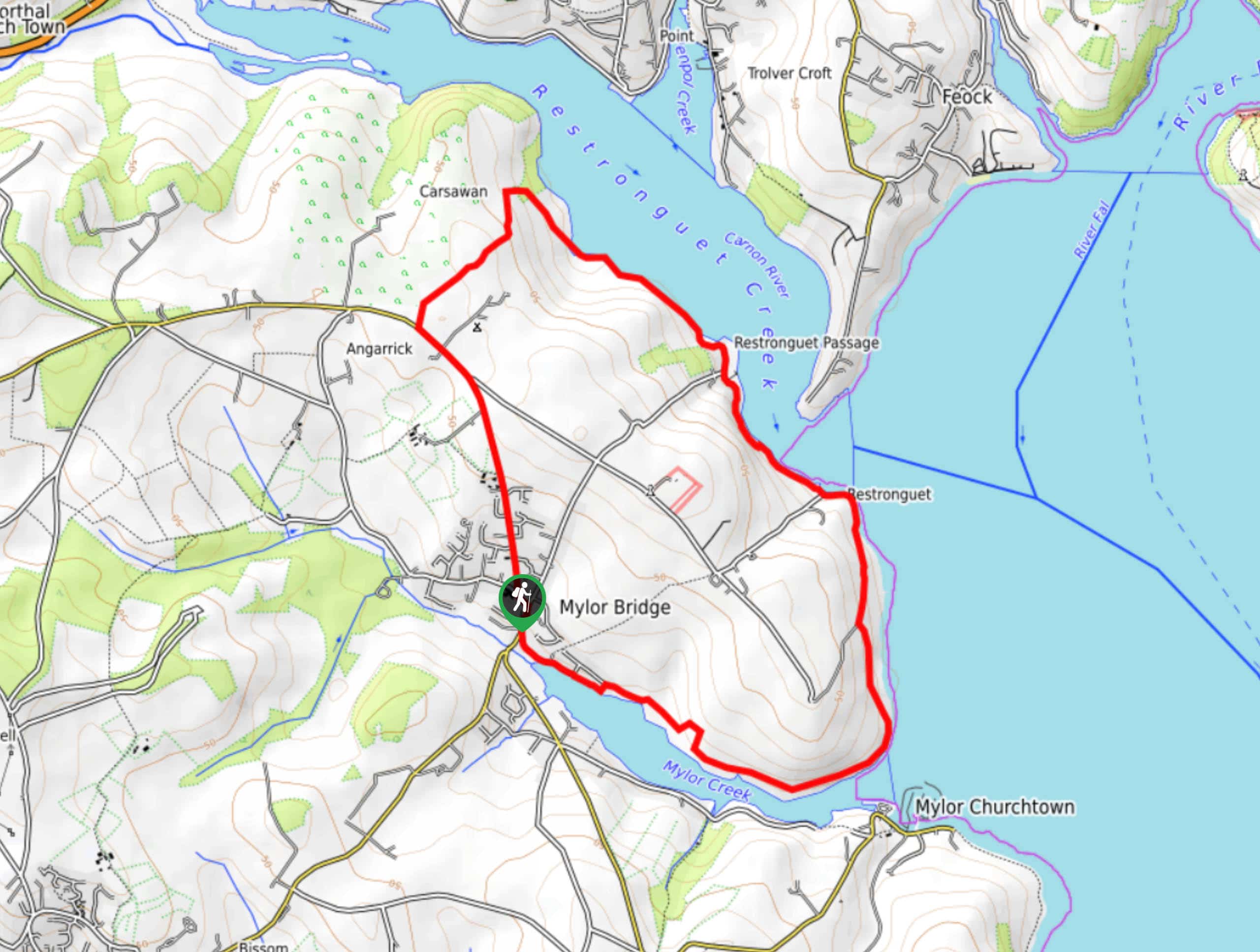
Restronguet Passage Circular Walk
The Restronguet Passage Circular Walk is a fantastic outdoor excursion in Cornwall that offers beautifully scenic views overlooking a number…

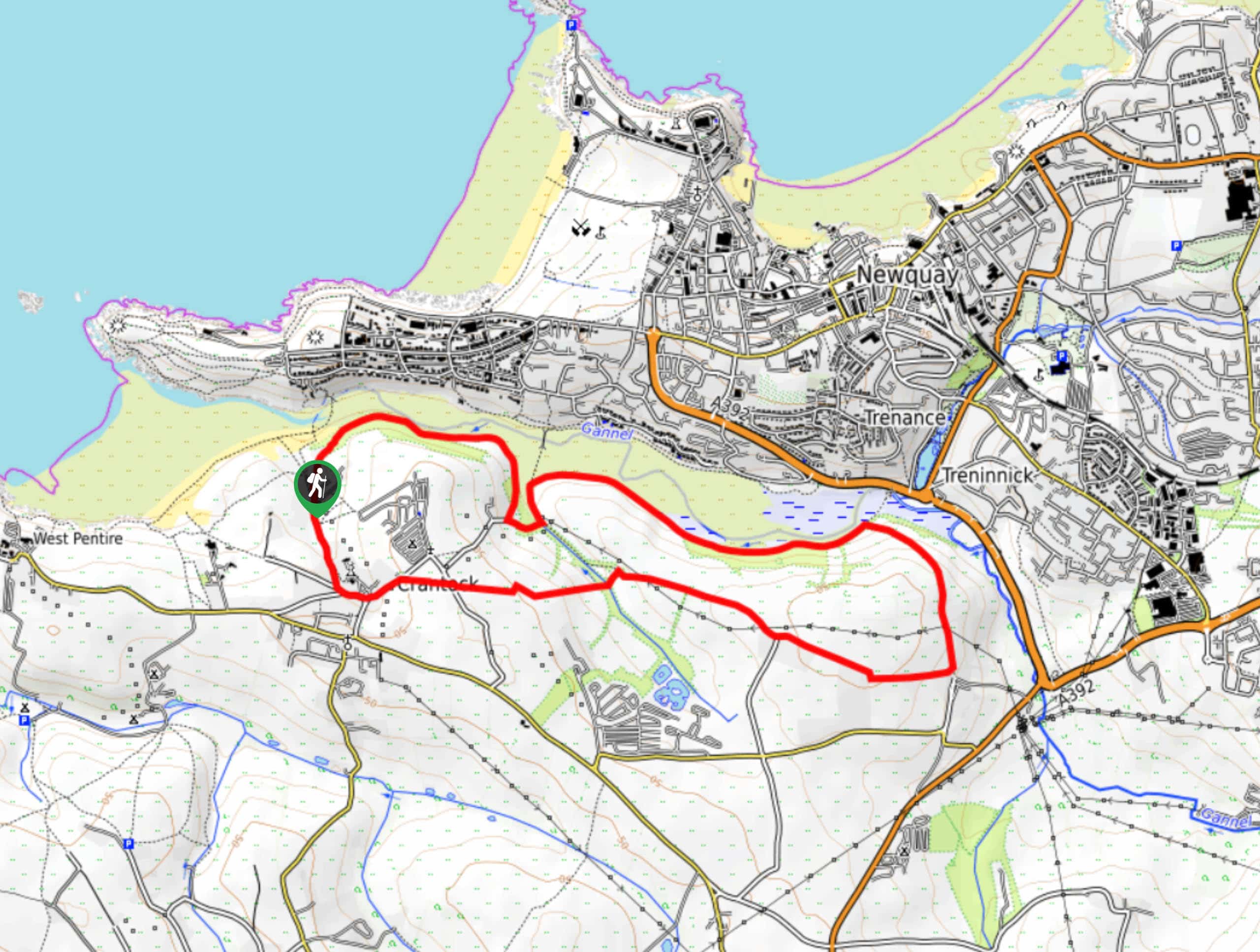
Crantock and The Gannel Circular Walk
The Crantock and The Gannel Circular Walk is a beautifully scenic adventure near Newquay, Cornwall that will lead you through…

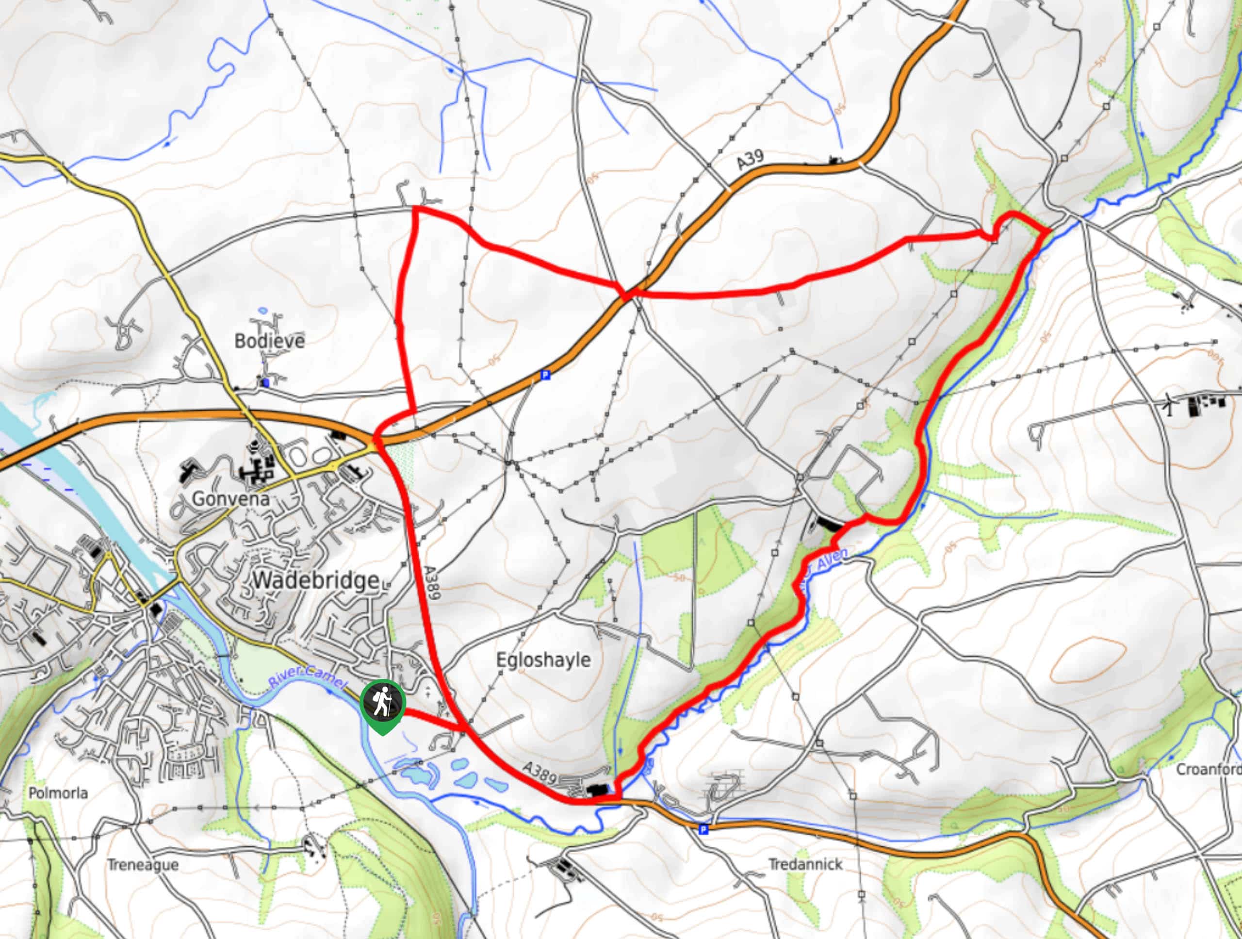
Egloshayle Circular Walk
The Egloshayle Circular Walk is a great outdoor excursion set in the Cornish countryside that will expose you to a…


Comments