

Camel Trail: Bodmin to Wadebridge
View PhotosCamel Trail: Bodmin to Wadebridge
Difficulty Rating:
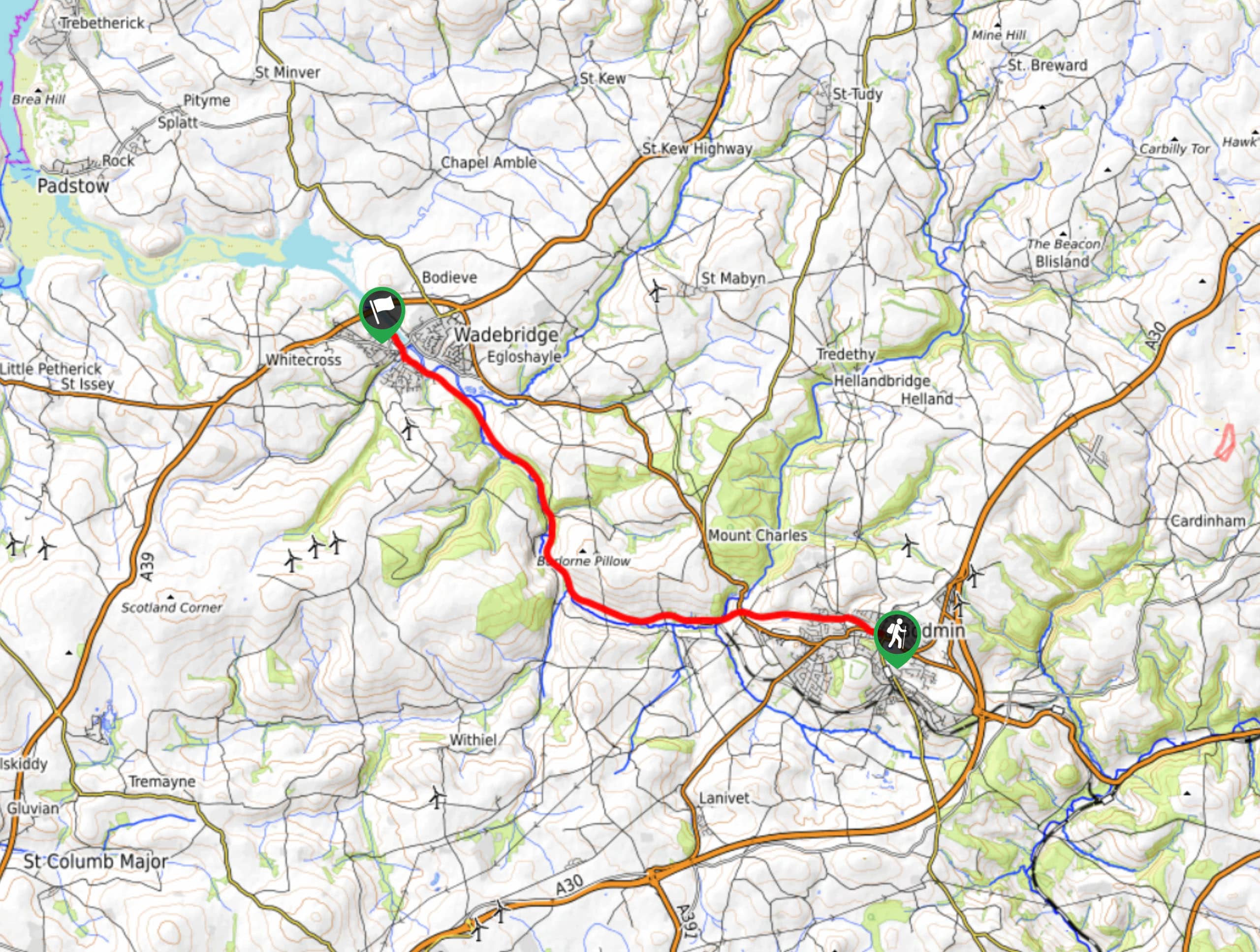
The Camel Trail: Bodmin to Wadebridge is a fantastic walking route that will allow you to experience a beautiful inland stretch of the Cornish countryside. While out walking the trail, you will leave the town of Bodmin behind and follow along the winding banks of the River Camel, as it snakes through forests and open fields to reach the town of Wadebridge. Walkers should note that this is a point-to-point trail, so be sure to make travel arrangements for the return leg if you do not plan on retracing your journey along the entire length of the route.
Getting there
The starting point for the Camel Trail: Bodmin to Wadebridge can be found near St Petroc’s Church in Bodmin, along A389.
About
| Backcountry Campground | No |
| When to do | Year-Round |
| Pets allowed | Yes - On Leash |
| Family friendly | Yes |
| Route Signage | Average |
| Crowd Levels | Moderate |
| Route Type | One Way |
Camel Trail: Bodmin to Wadebridge
Elevation Graph
Weather
Camel Trail: Bodmin to Wadebridge Route Description
Connecting the charming towns of Bodmin and Wadebridge, the Camel Trail: Bodmin to Wadebridge is a wonderfully scenic route that will allow you to experience the natural beauty of Cornwall, and will be of particular interest to anyone that enjoys relaxing riverside walks.
Setting out from the trailhead, you will make your way to the northwest to pass through Bodmin and arrive at the banks of the River Camel. After crossing over the bridge, you will follow along the water’s edge as it leads you to the northwest through lovely fields and stretches of woodland terrain.
After reaching the point where the River Camel and River Allen meet, you will exit the tree cover and arrive at the edge of the town of Wadebridge. From here, you will continue alongside the river as it cuts through the town, bringing you to the end point of the walk near the Wadebridge fire station.
Similar hikes to the Camel Trail: Bodmin to Wadebridge hike

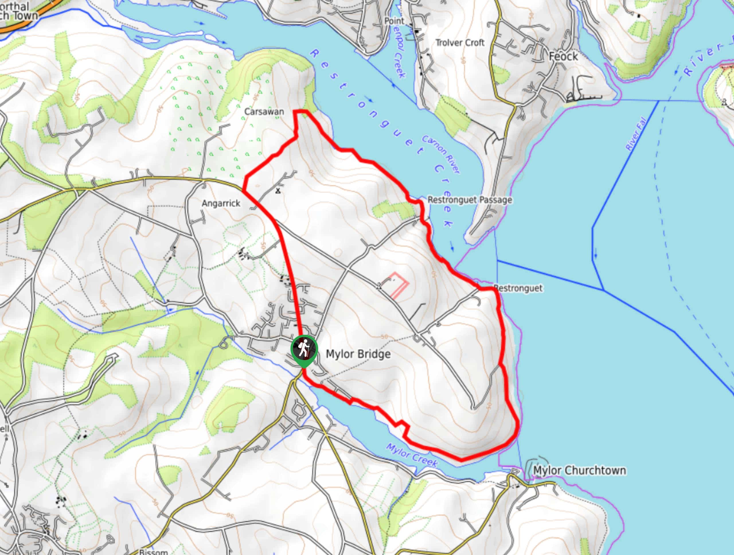
Restronguet Passage Circular Walk
The Restronguet Passage Circular Walk is a fantastic outdoor excursion in Cornwall that offers beautifully scenic views overlooking a number…

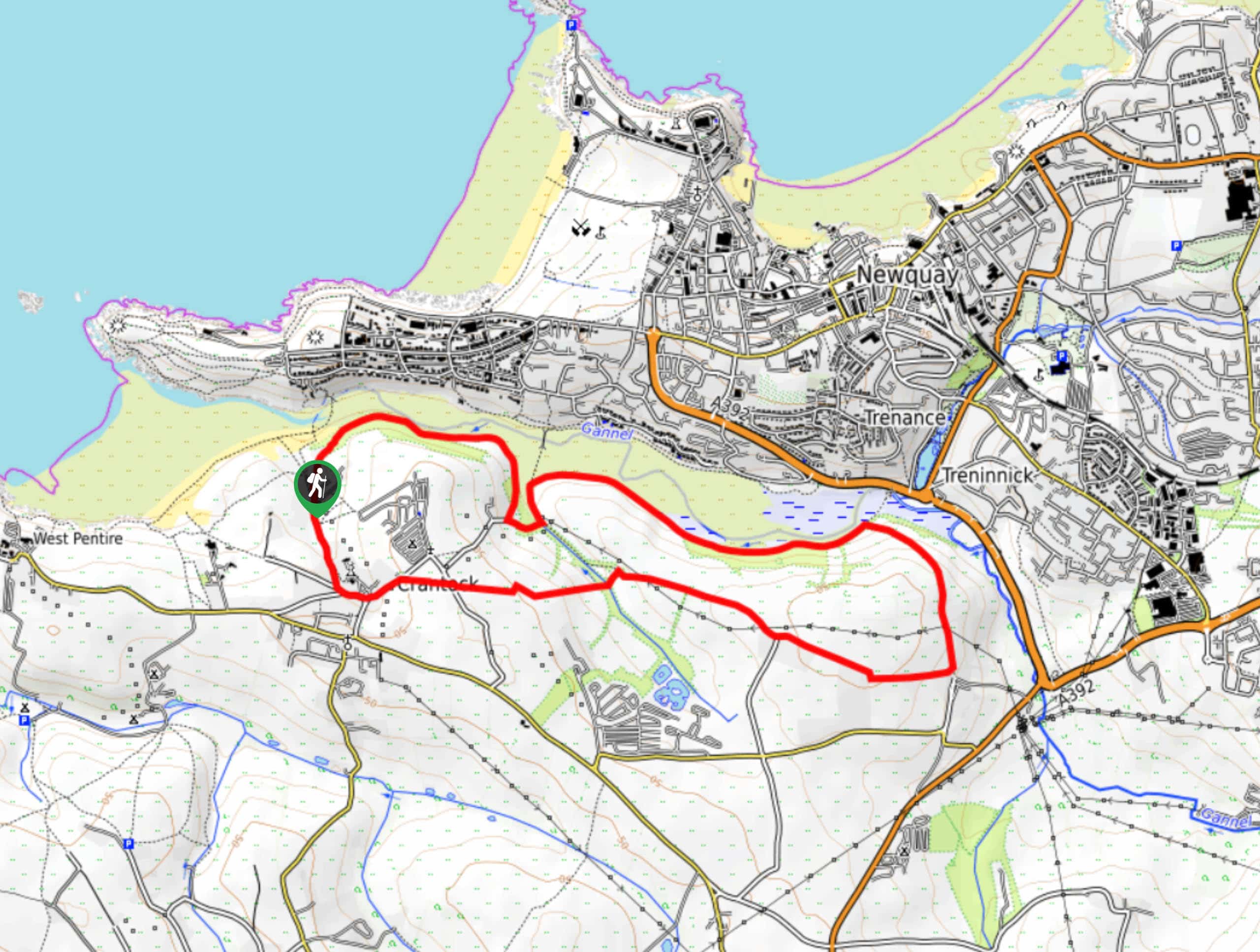
Crantock and The Gannel Circular Walk
The Crantock and The Gannel Circular Walk is a beautifully scenic adventure near Newquay, Cornwall that will lead you through…

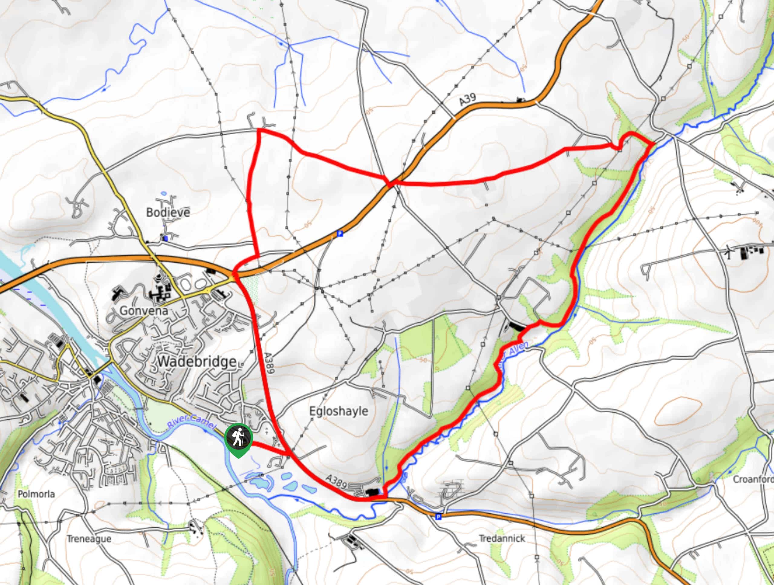
Egloshayle Circular Walk
The Egloshayle Circular Walk is a great outdoor excursion set in the Cornish countryside that will expose you to a…


Comments