
Dosewallips River Road Trail
View Photos
Dosewallips River Road Trail
Difficulty Rating:
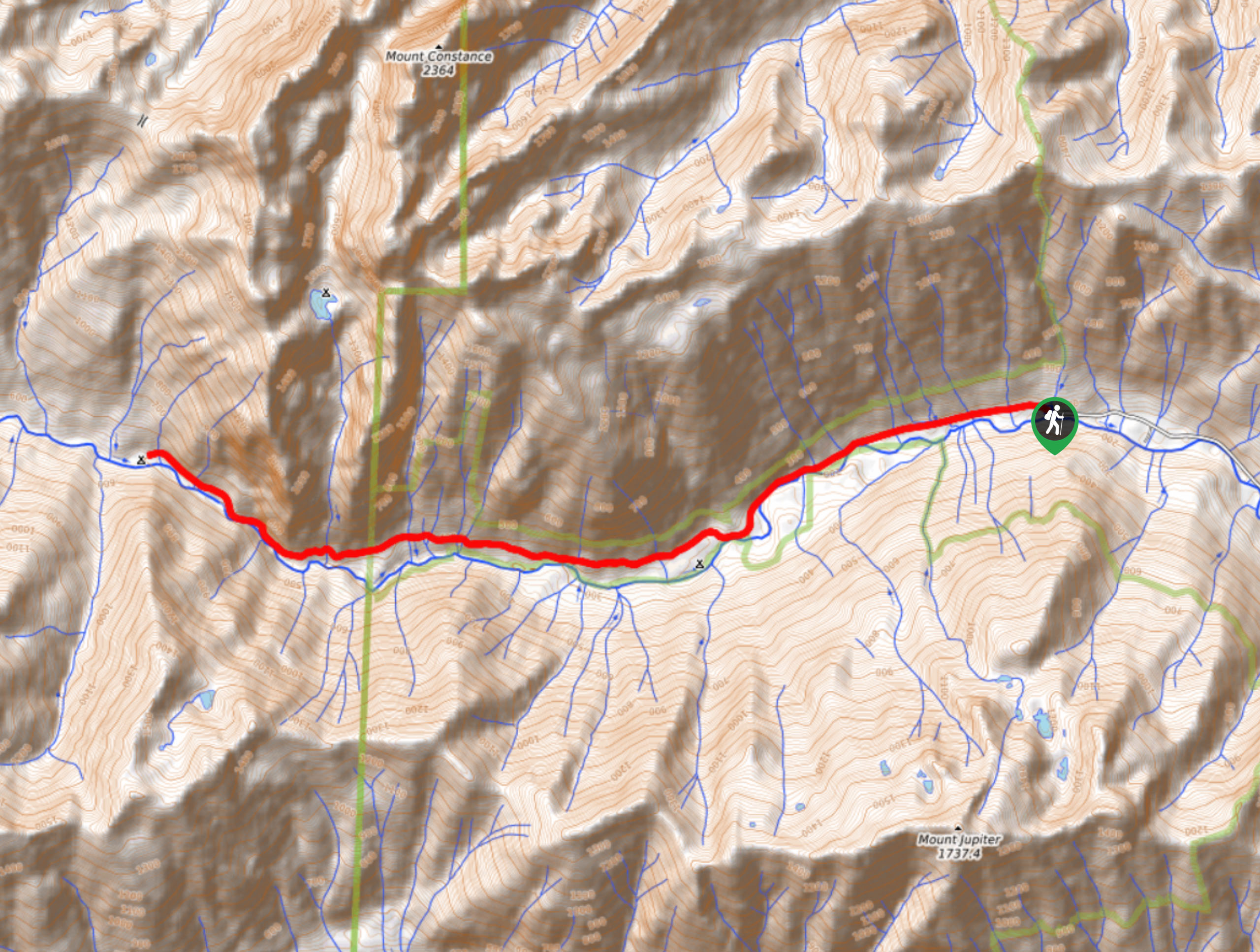
Dosewallips River Road Trail is a moderately trafficked hike that begins in Olympic National Forest and ends in Olympic National Park. This hike is very pretty and although it’s quite long, the elevation gain is very gradual and only a couple of sections feel steep. The campground at the end of the trail is excellent.
Getting there
The trailhead for Dosewallips River Road Trail is at the western terminus of Dosewallips Road.

About
| Backcountry Campground | Dosewallips Campground |
| When to do | April-October |
| Pets allowed | No |
| Family friendly | Yes |
| Route Signage | Average |
| Crowd Levels | Moderate |
| Route Type | Out and back |
Dosewallips River Road Trail
Elevation Graph
Weather
Dosewallips River Road Trail Description
Dosewallips River Road Trail is a very pretty hike along the river and through the forest to a well-loved campground in Olympic National Park. This hike might be a bit longer, but the elevation gain is never too intense and you could easily hike just part of this trail and still have a great outing.
Begin from the end of the road, hiking west roughly along the river. There are plenty of creek crossings on this trail, most fine to navigate. Hug the slope of the valley wall as you walk. There are two steeper sections along this trail but they are short-lived, and you can usually find a handful of salmonberries to reward yourself with.
Slowly climbing up the valley wall, you’ll dip back down not long before the campground. This is the end of your trail, so either pitch your tent or turn around and retrace your steps.
Similar hikes to the Dosewallips River Road Trail hike
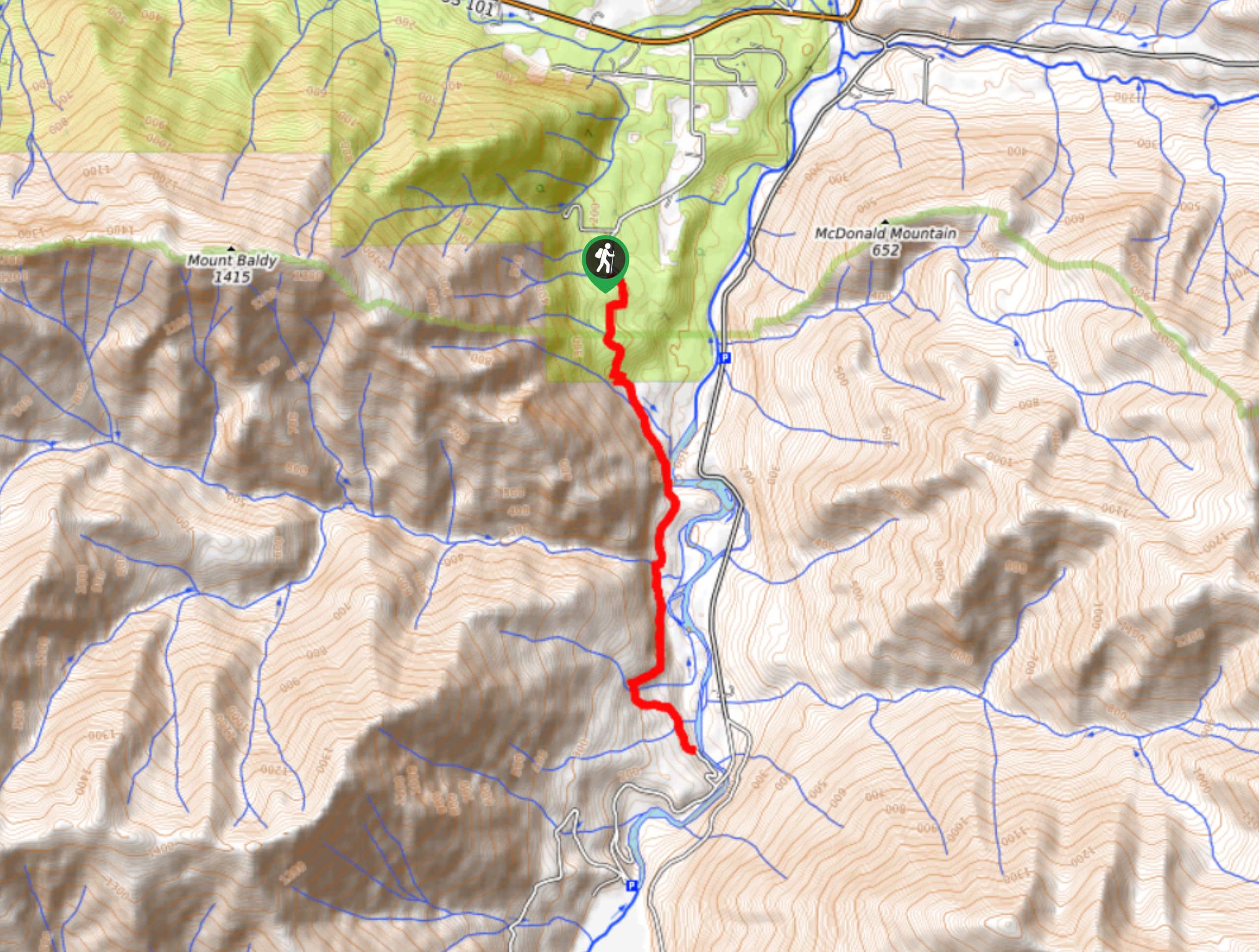
West Elwha River Trail
The West Elwha River Trail is a lovely moderate walk alongside the river to the Altair Campground and back. This…
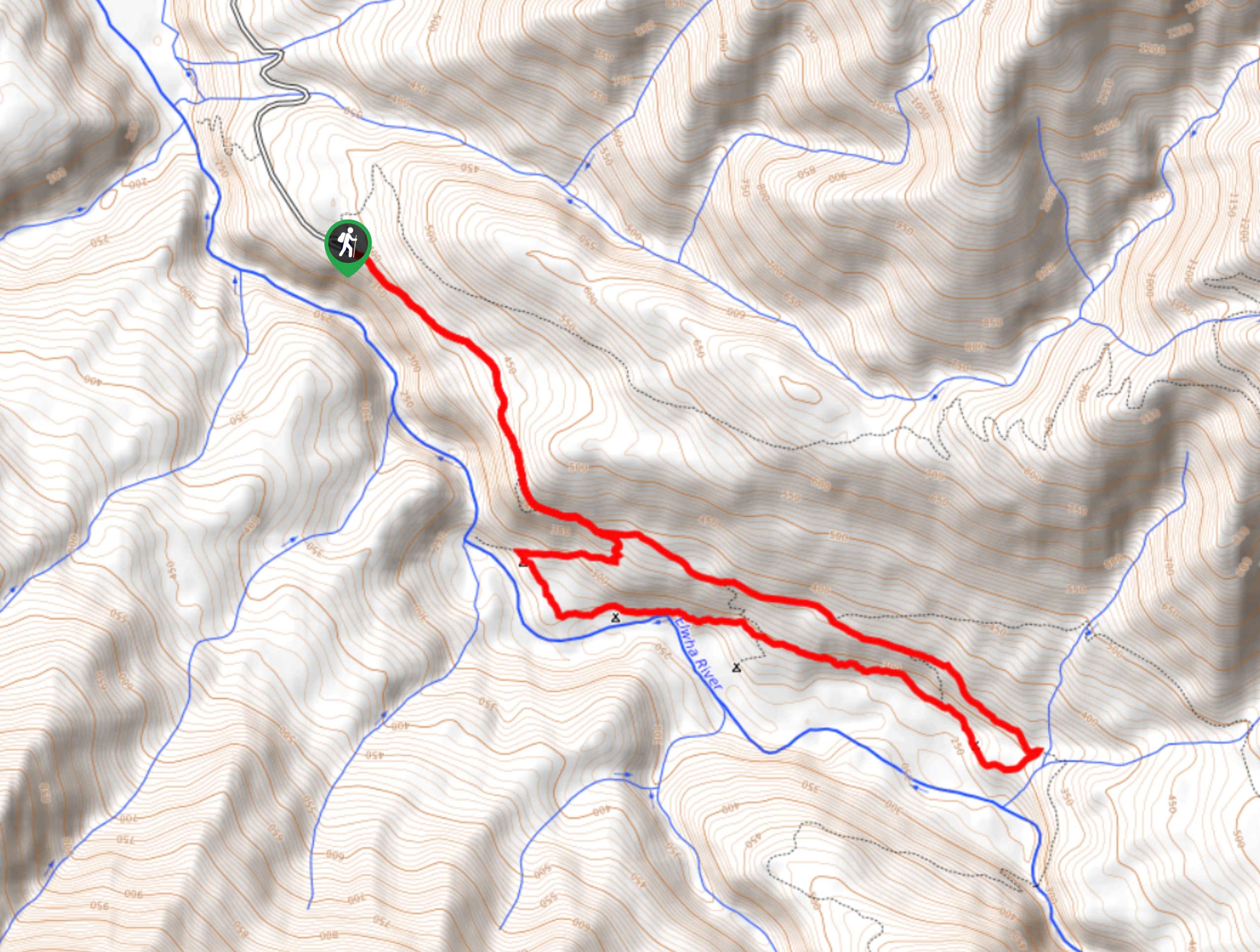
Humes Ranch Loop Trail
Humes Ranch Loop Trail is a heavily trafficked loop hike in Olympic National Park. This trail is very beautiful and…
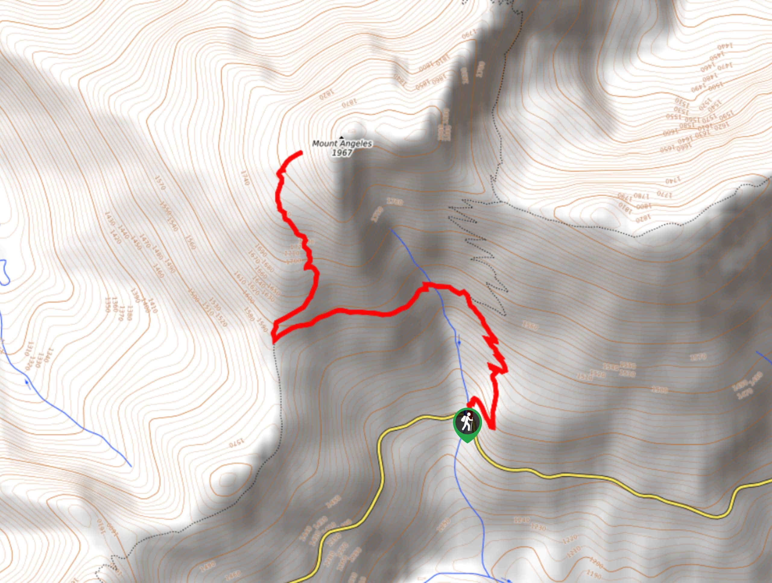
Mount Angeles via Switchback Trail
Mount Angeles via Switchback Trail is an exciting hike that starts out more gradual before ending with a fairly demanding…
Comments