

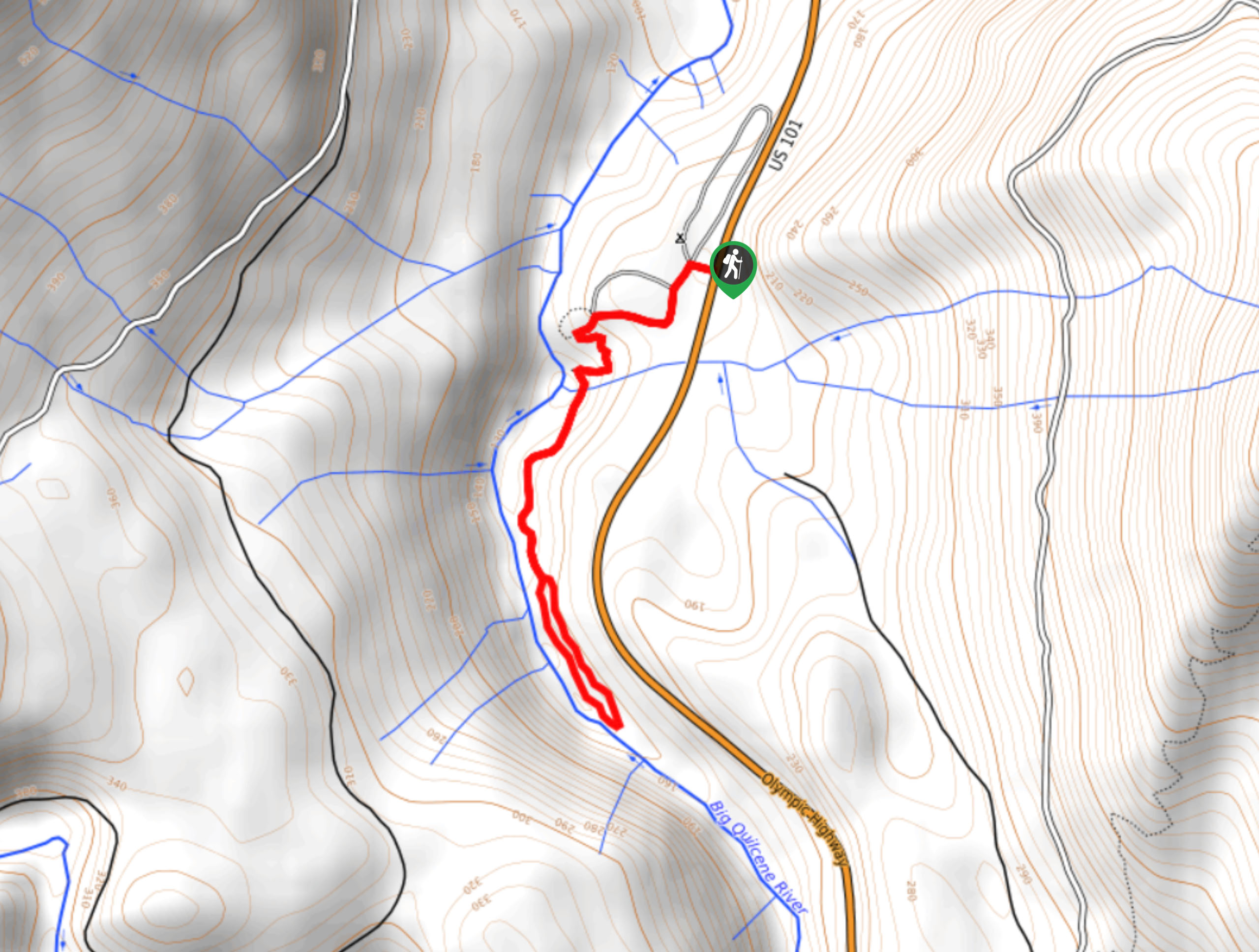
Falls View Canyon Trail
View PhotosFalls View Canyon Trail
Difficulty Rating:
The Falls View Canyon Trail is a short trail in Olympic National Park near Highway 101. This hike follows the Big Quilcene River to a short flowing waterfall. It may seem very easy in terms of distance and elevation gain, but there are steep sections with poor, eroded footing. We don’t recommend this trail for extremely young children or those who feel they might struggle with these challenges.
Getting there
The trailhead for Falls View Canyon Trail is just south of the Falls View campground off Highway 101.
About
| Backcountry Campground | Falls View |
| When to do | Year-round |
| Pets allowed | No |
| Family friendly | Yes |
| Route Signage | Poor |
| Crowd Levels | Moderate |
| Route Type | Lollipop |
Falls View Canyon Trail
Elevation Graph
Weather
Falls View Canyon Trail Description
The Falls View Canyon Trail is a pretty hike close to the highway. This trail is easy for some but a bit challenging for younger and newer hikers in general due to steep sections with eroded, rooty trail. Poles might be helpful for this one. Avoid this trail in wet weather as the footing can become very slippery.
Begin from the campground, making your way south and then west towards the bathrooms where the trail curves down to the river. Cross the water and follow the river to the falls viewpoint, enjoying the bright blue water and the gentle babbling of the falls.
When you’re ready, take the opposite side of the loop back up to the trailhead.
Similar hikes to the Falls View Canyon Trail hike
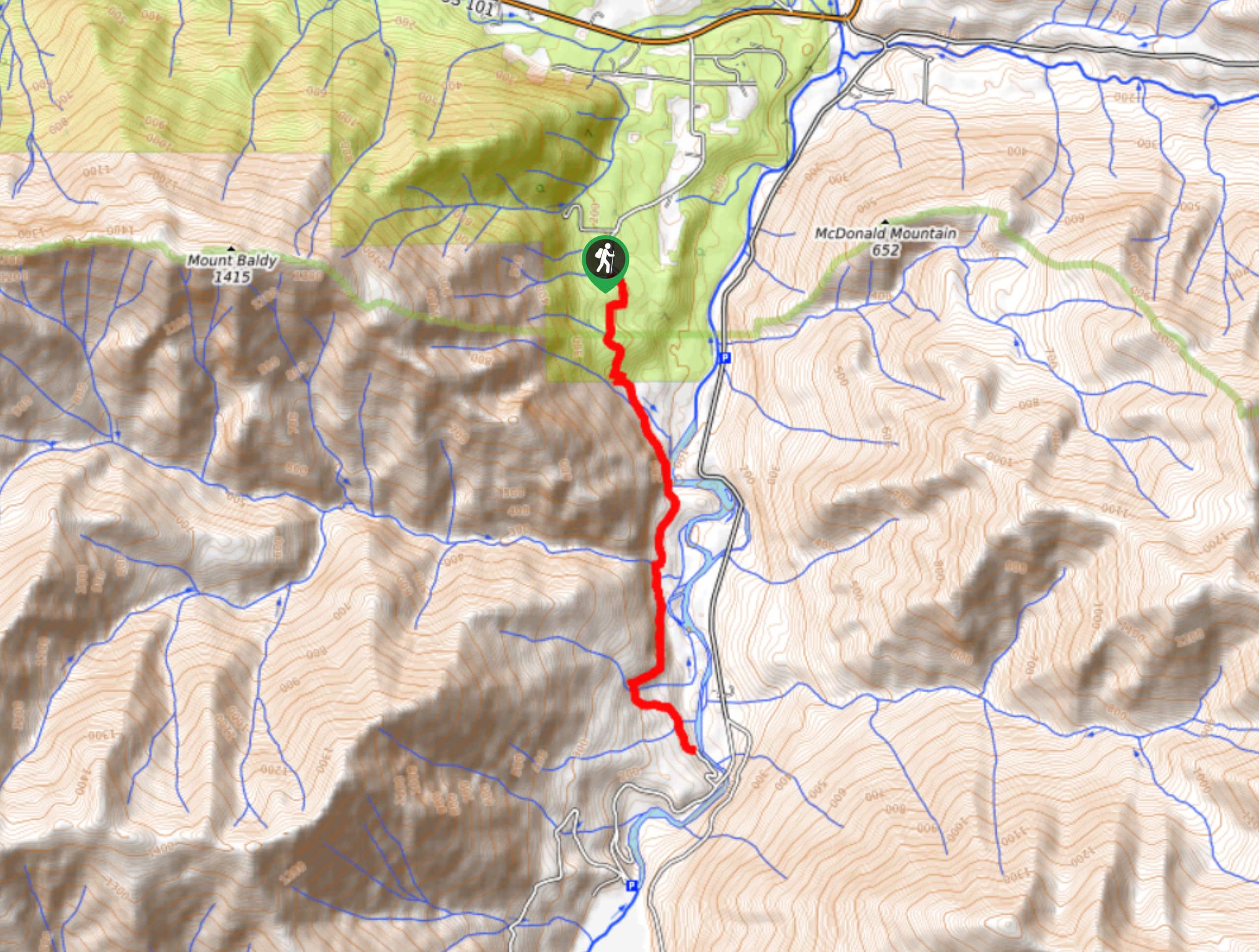
West Elwha River Trail
The West Elwha River Trail is a lovely moderate walk alongside the river to the Altair Campground and back. This…
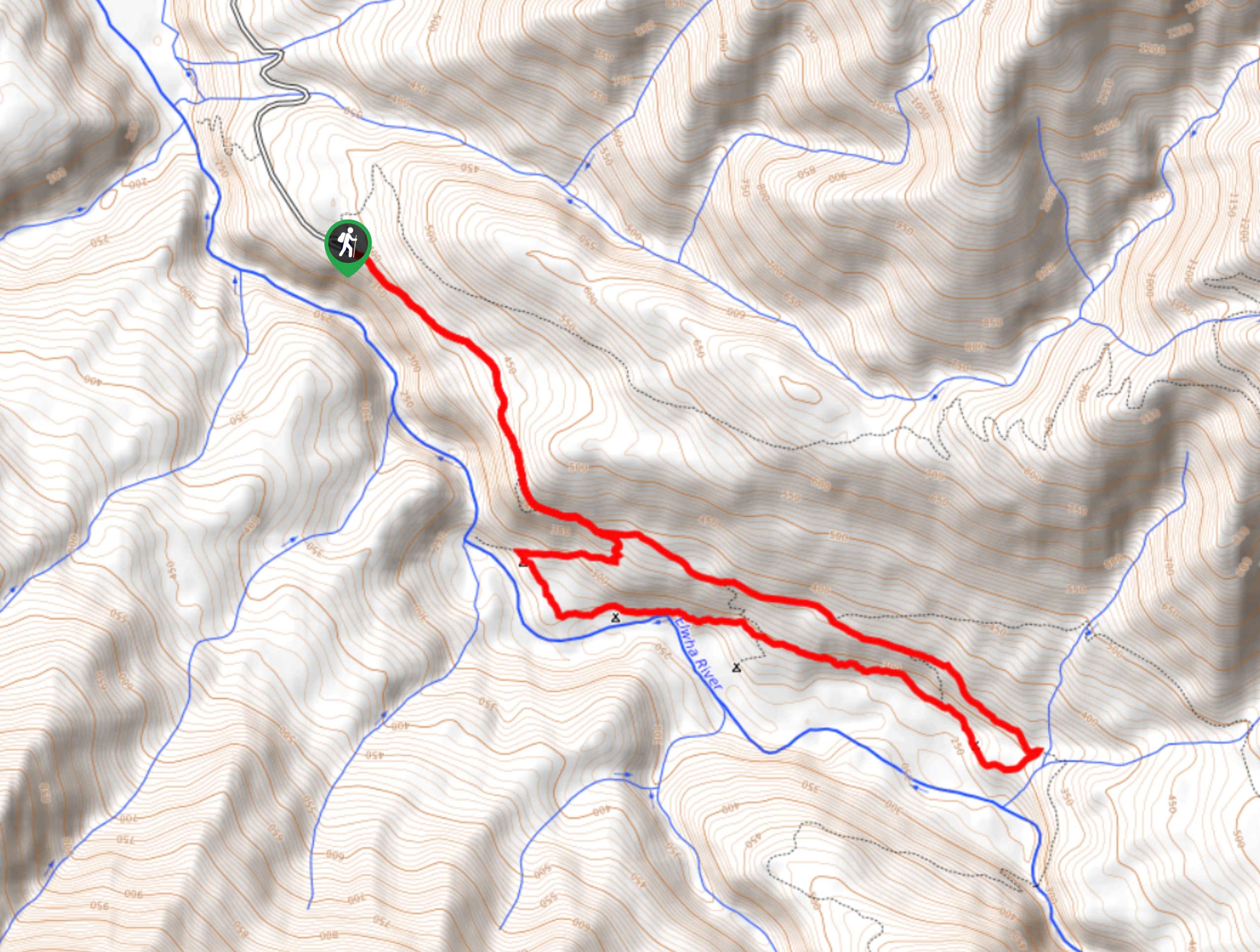
Humes Ranch Loop Trail
Humes Ranch Loop Trail is a heavily trafficked loop hike in Olympic National Park. This trail is very beautiful and…
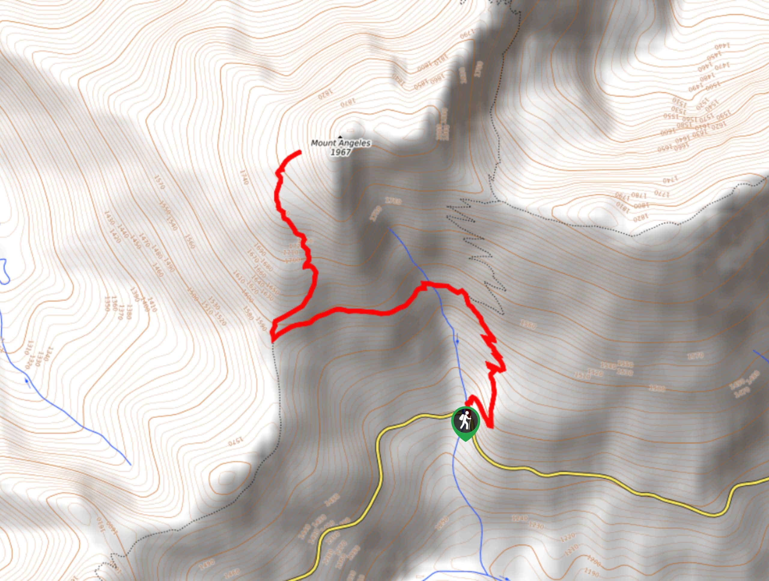
Mount Angeles via Switchback Trail
Mount Angeles via Switchback Trail is an exciting hike that starts out more gradual before ending with a fairly demanding…



Comments