
Peabody Creek Trail
View Photos
Peabody Creek Trail
Difficulty Rating:
Peabody Creek Trail is a little escape from the urban world within Port Angeles. This 5.2mi trail is a moderate hike, with gentle elevation gain and a well-defined route. This is also one of the few trails in Olympic National Park that allows dogs, though they must be kept on a leash.
This trail is easy to complete, but there are a few narrow sections. Other than that, you’re likely to have a relaxed, enjoyable walk!
Getting there
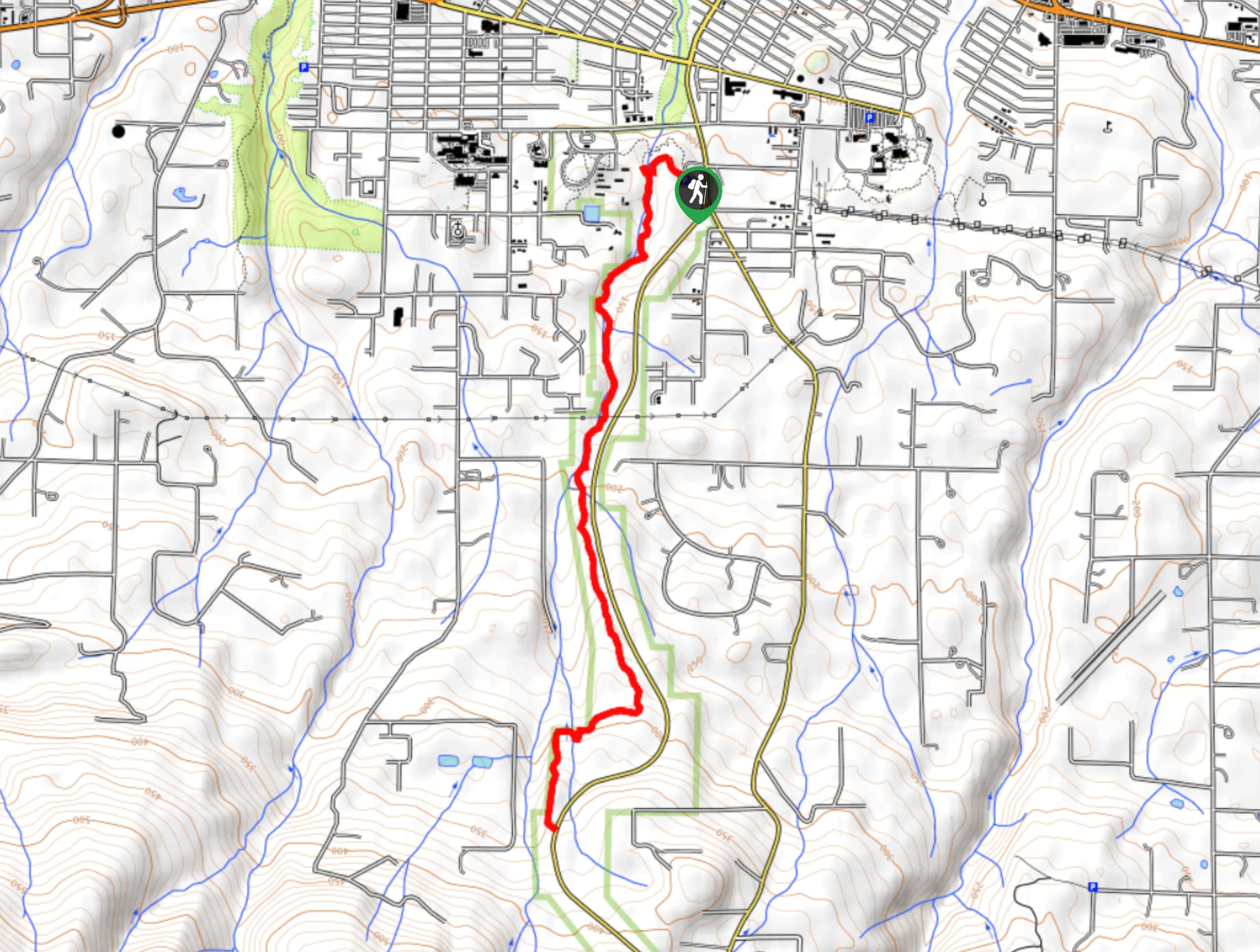
The trailhead for the Peabody Creek Trail is next to the Olympic National Park Visitor Center.

About
| Backcountry Campground | No |
| When to do | Year-round |
| Pets allowed | Yes - On Leash |
| Family friendly | Yes |
| Route Signage | Average |
| Crowd Levels | Moderate |
| Route Type | Out and back |
Peabody Creek Trail
Elevation Graph
Weather
Peabody Creek Trail Description
Peabody Creek Trail follows and crosses Peabody Creek. It’s a moderate trail with spread-out elevation gain. You can hike this as an out and back or connect to Hurricane Ridge Road as a loop. While there might be some road noise on the trail, it’s a great forest walk for those in the city.
Some sections of the trail are narrow, so take care especially if you have your dog with you.
Begin from beside the visitor center in the parking lot. You’ll take Peabody Creek Loop, staying left to take the trail next to the creek. Enjoy the tall fir and the mosses as you walk alongside the water.
The route bends away from Peabody Creek just after the smaller stream crossing, drawing nearer to Hurricane Ridge Road. You’ll approach the creek again just before the trail ends at the junction with the road. Either turn back and retrace your steps or take Hurricane Ridge Road back to the visitor center to complete your hike.
Similar hikes to the Peabody Creek Trail hike
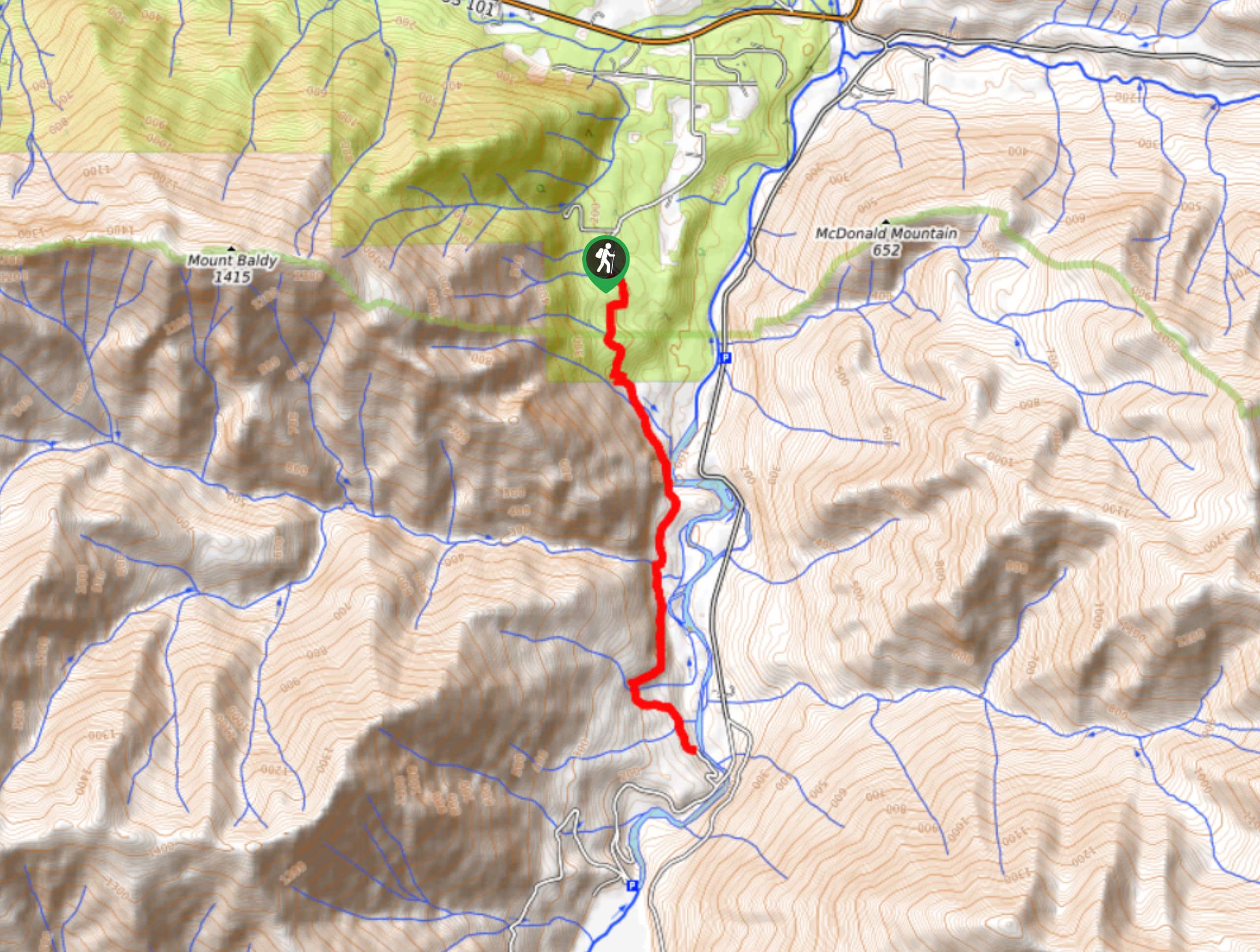
West Elwha River Trail
The West Elwha River Trail is a lovely moderate walk alongside the river to the Altair Campground and back. This…
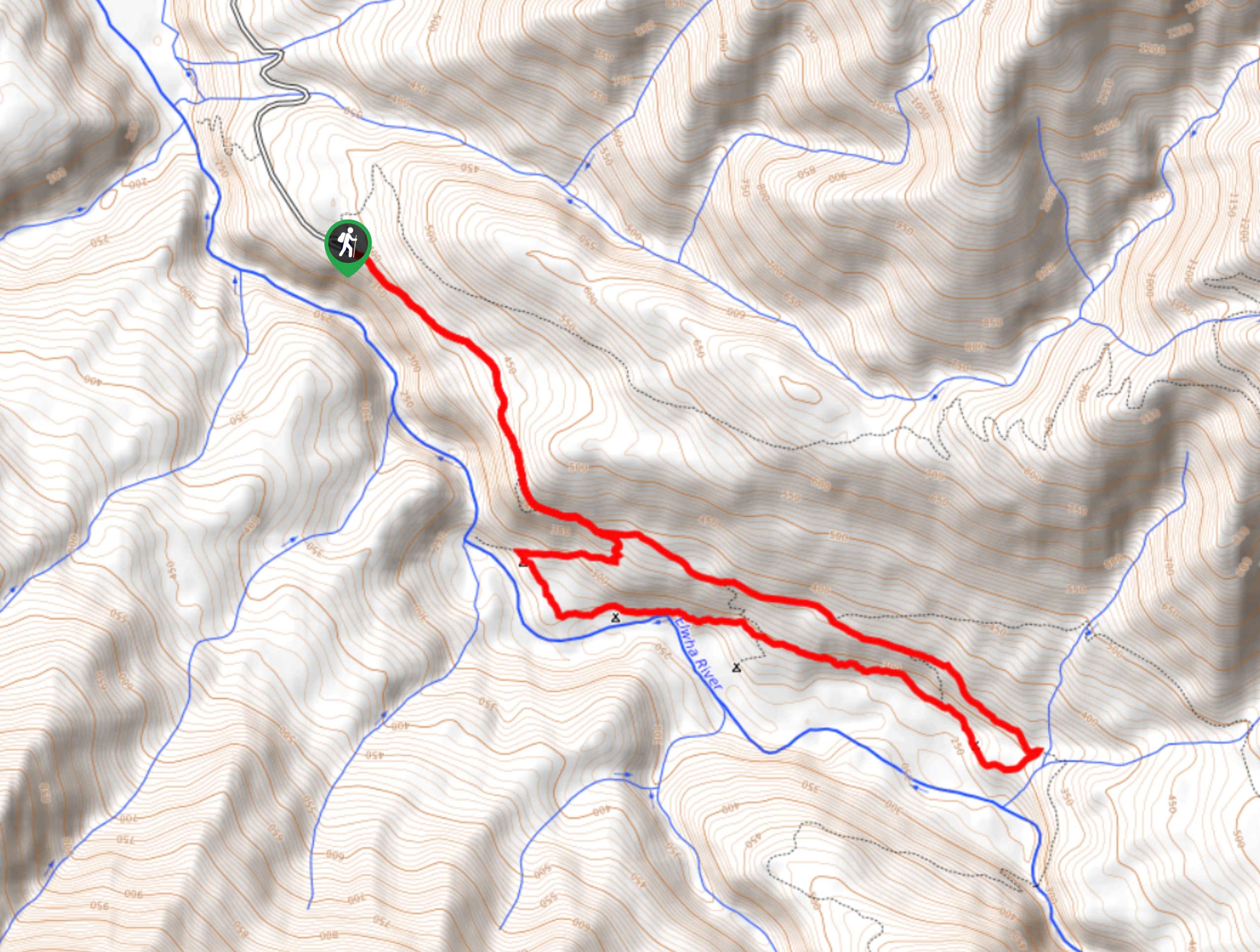
Humes Ranch Loop Trail
Humes Ranch Loop Trail is a heavily trafficked loop hike in Olympic National Park. This trail is very beautiful and…
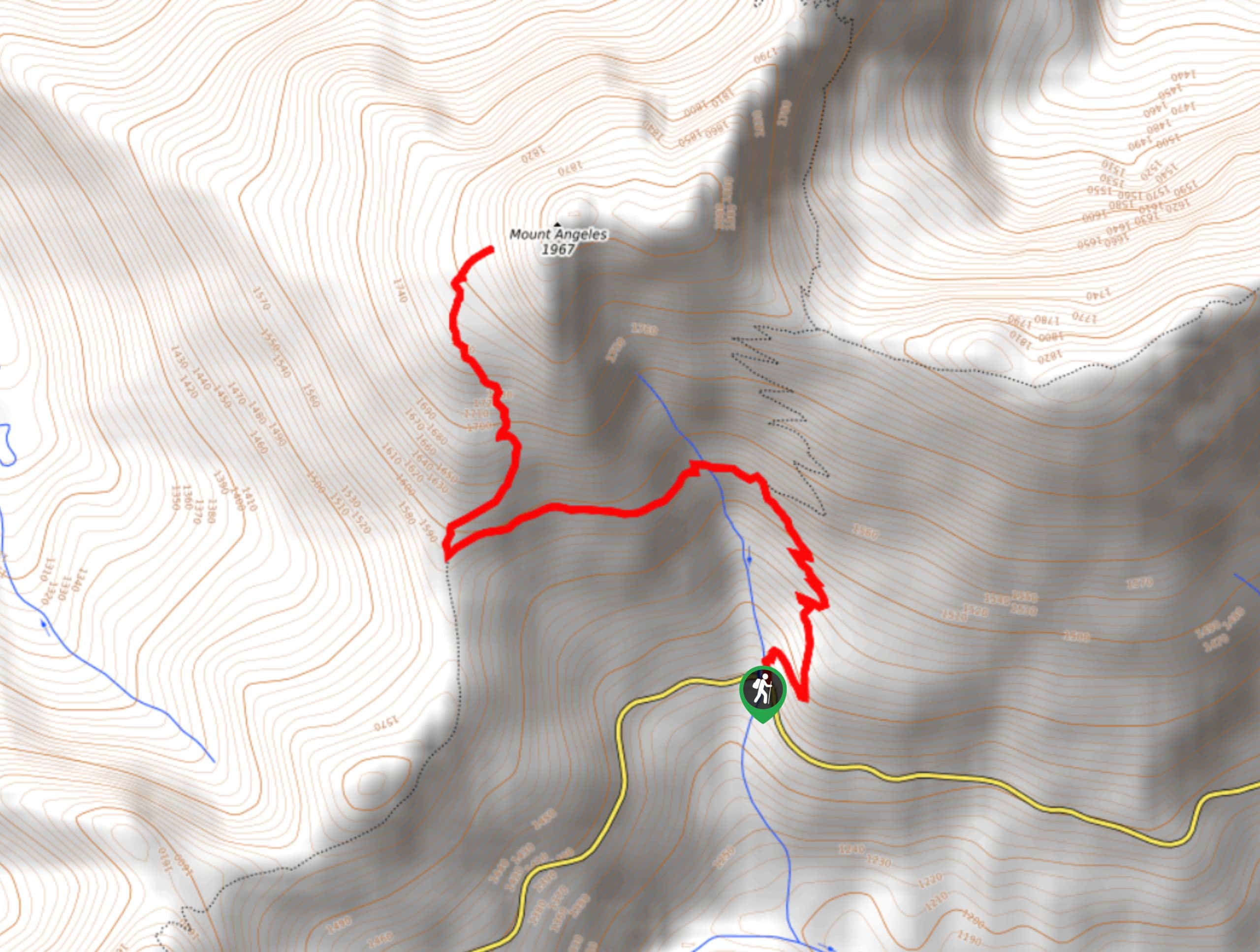
Mount Angeles via Switchback Trail
Mount Angeles via Switchback Trail is an exciting hike that starts out more gradual before ending with a fairly demanding…
Comments