

Olympic Switchback Trail
View PhotosOlympic Switchback Trail
Difficulty Rating:
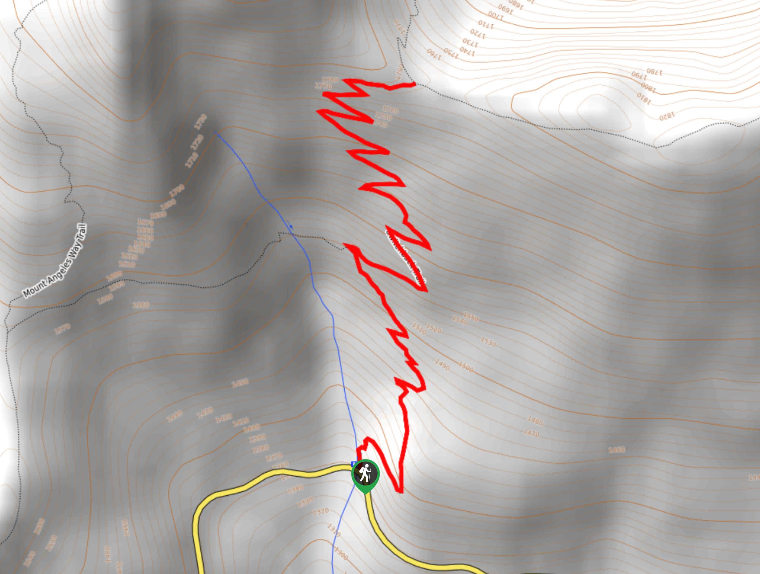
The Olympic Switchback Trail does exactly what it claims to: switchback and make you feel like you’re competing in the Olympics. This short but very steep hike is all switchbacks to a viewpoint next to Mount Angeles. It’s a grind, but a brief one. Poles are helpful and we recommend waiting for a dry day to hike this trail.
Getting there
The trailhead for the Olympic Switchback Trail is on Hurricane Ridge Road.
About
| Backcountry Campground | No |
| When to do | March-October |
| Pets allowed | No |
| Family friendly | No |
| Route Signage | Average |
| Crowd Levels | Moderate |
| Route Type | Out and back |
Olympic Switchback Trail
Elevation Graph
Weather
Olympic Switchback Trail Description
Olympic Switchback Trail is true to its name. It switchbacks, it switchbacks more, and it doesn’t stop switchbacking. While only 2.7mi in length, it packs 1450ft of elevation gain into the ascent. It might be a little bit of a grind, but the views are pleasant enough to make it worth doing.
Begin from the trailhead and, you guessed it, immediately launch into switchbacks. They start out a bit wider before narrowing, and they don’t end. Take care not to take the spur trails off the corners of the turns.
This trail terminates at the T-junction of Heather Park Trail and Switchback Trail. You can continue to adventure if you wish, or you can turn around and punish your knees the entire way back to the trailhead.
Similar hikes to the Olympic Switchback Trail hike

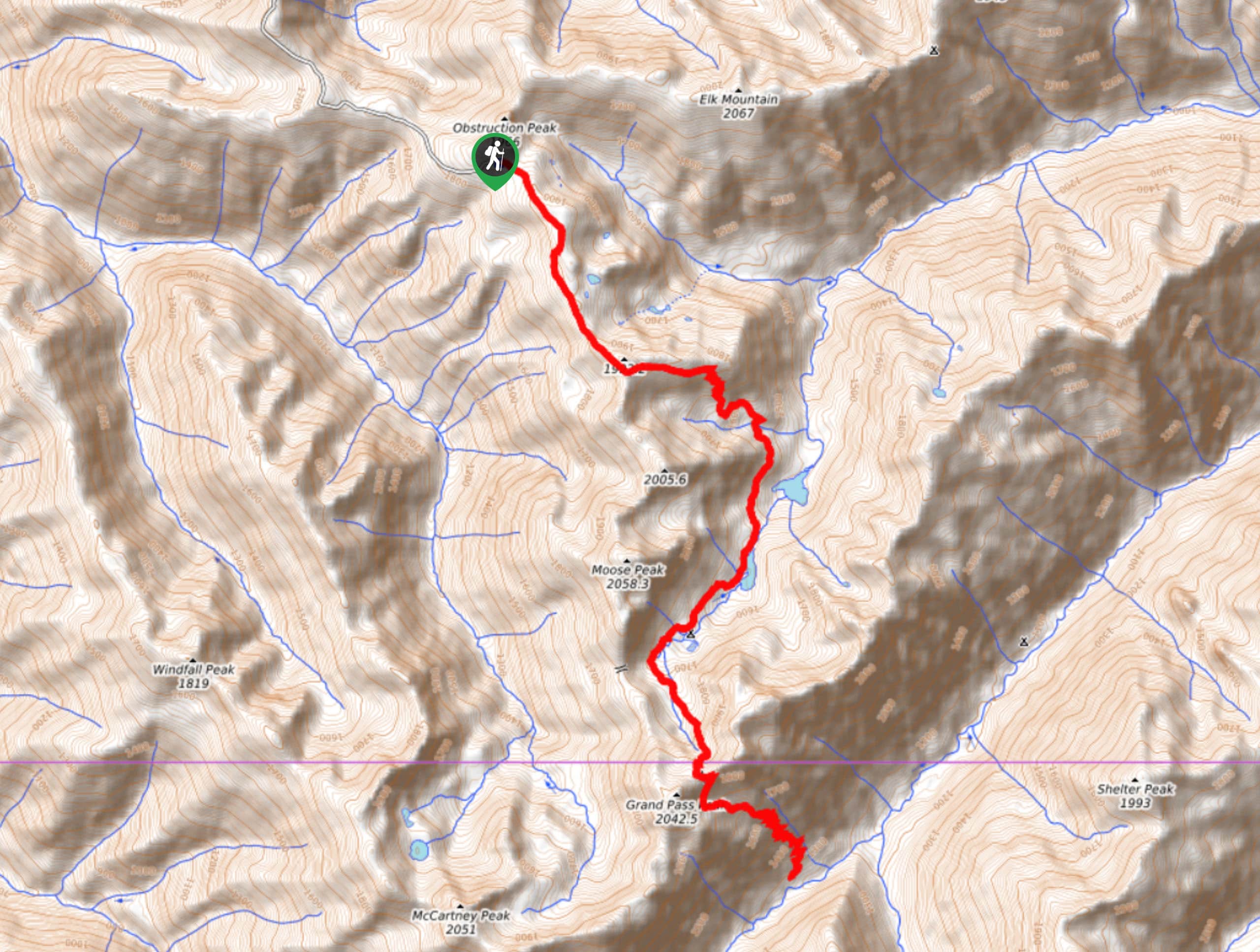
Grand Pass Trail
Grand Pass Trail is a beast of a day hike, with over 13.7mi to cover across varied, steep…

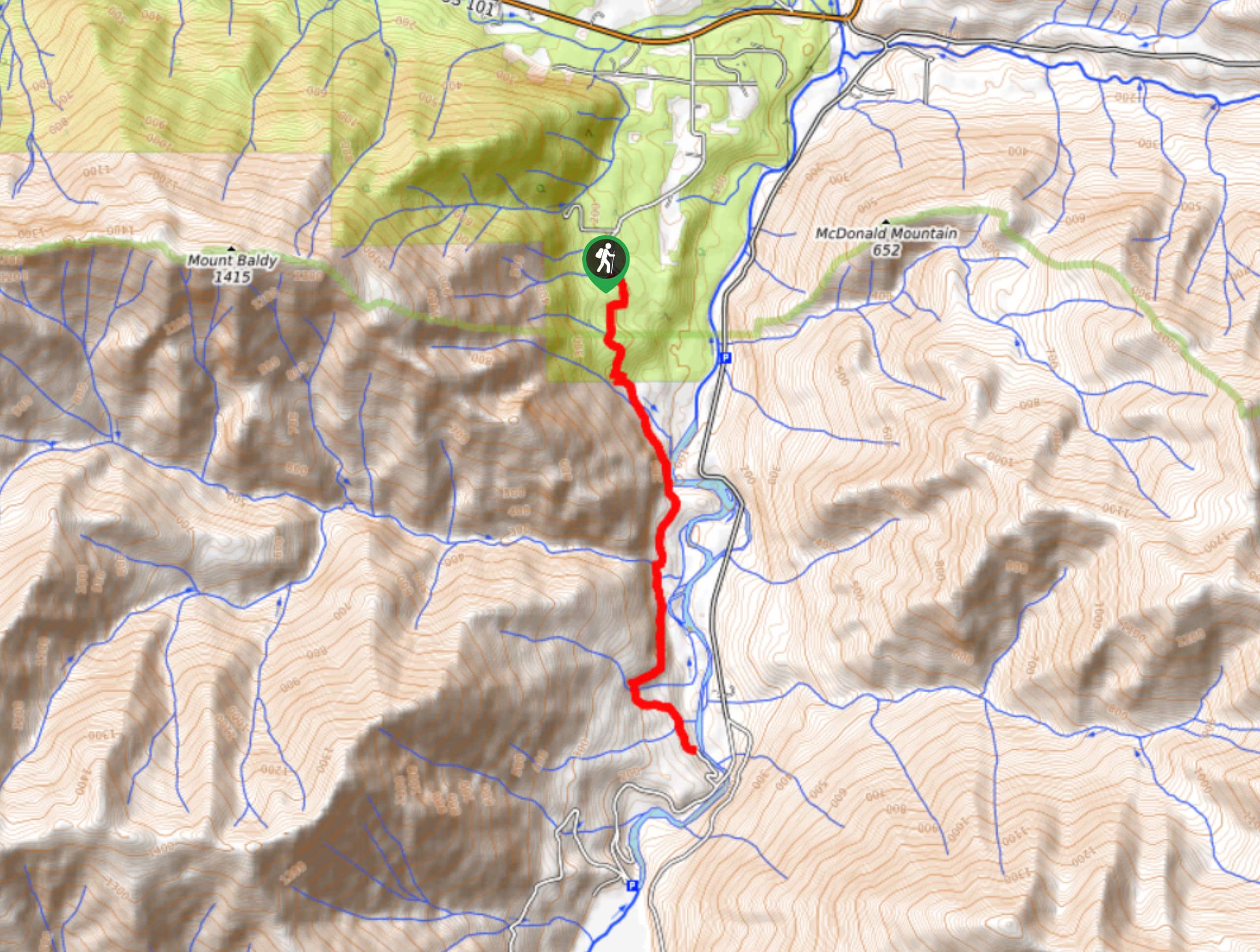
West Elwha River Trail
The West Elwha River Trail is a lovely moderate walk alongside the river to the Altair Campground and back. This…

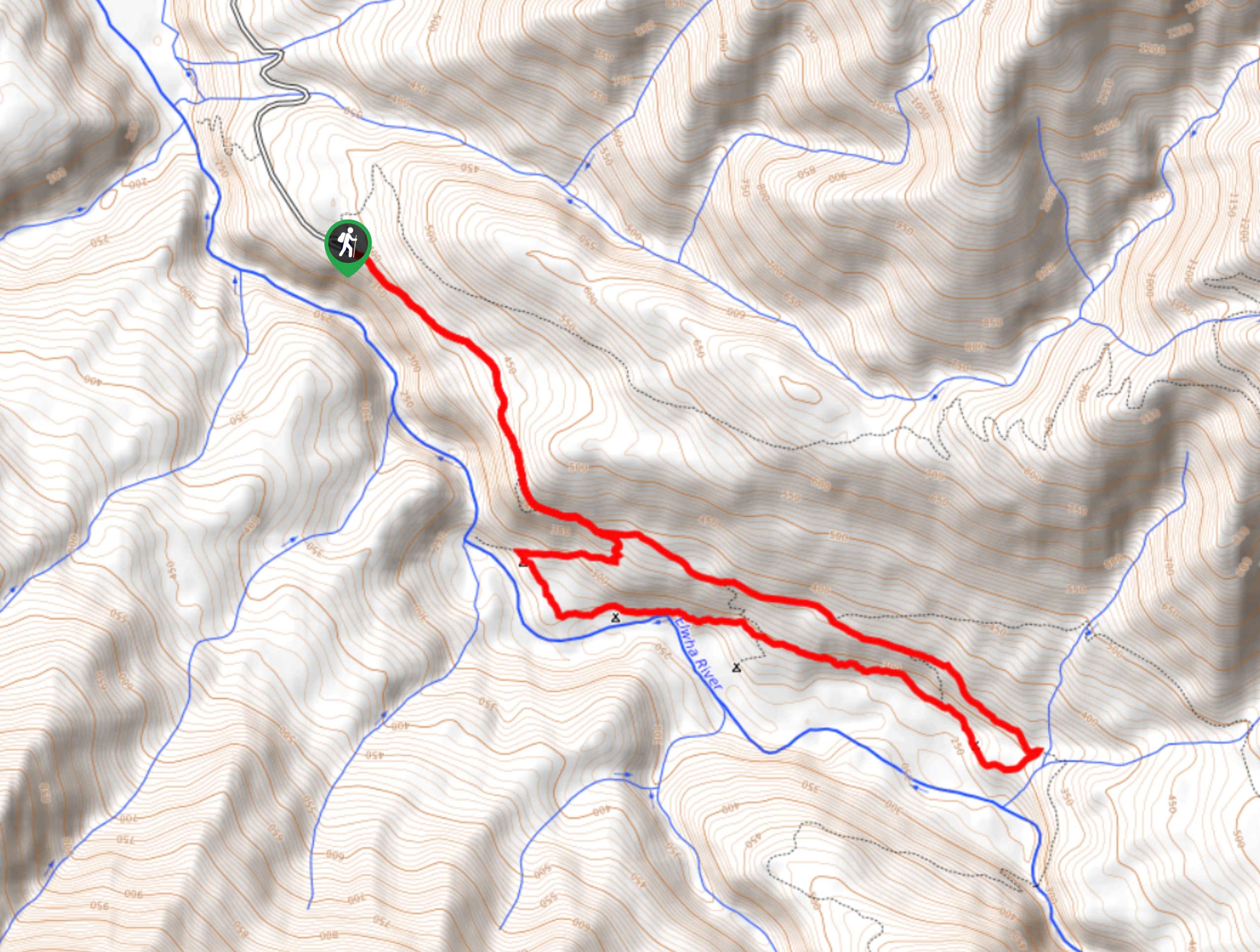
Humes Ranch Loop Trail
Humes Ranch Loop Trail is a heavily trafficked loop hike in Olympic National Park. This trail is very beautiful and…


Comments