

Glencairn Park and Ballygomartin River Walk
View PhotosGlencairn Park and Ballygomartin River Walk
Difficulty Rating:
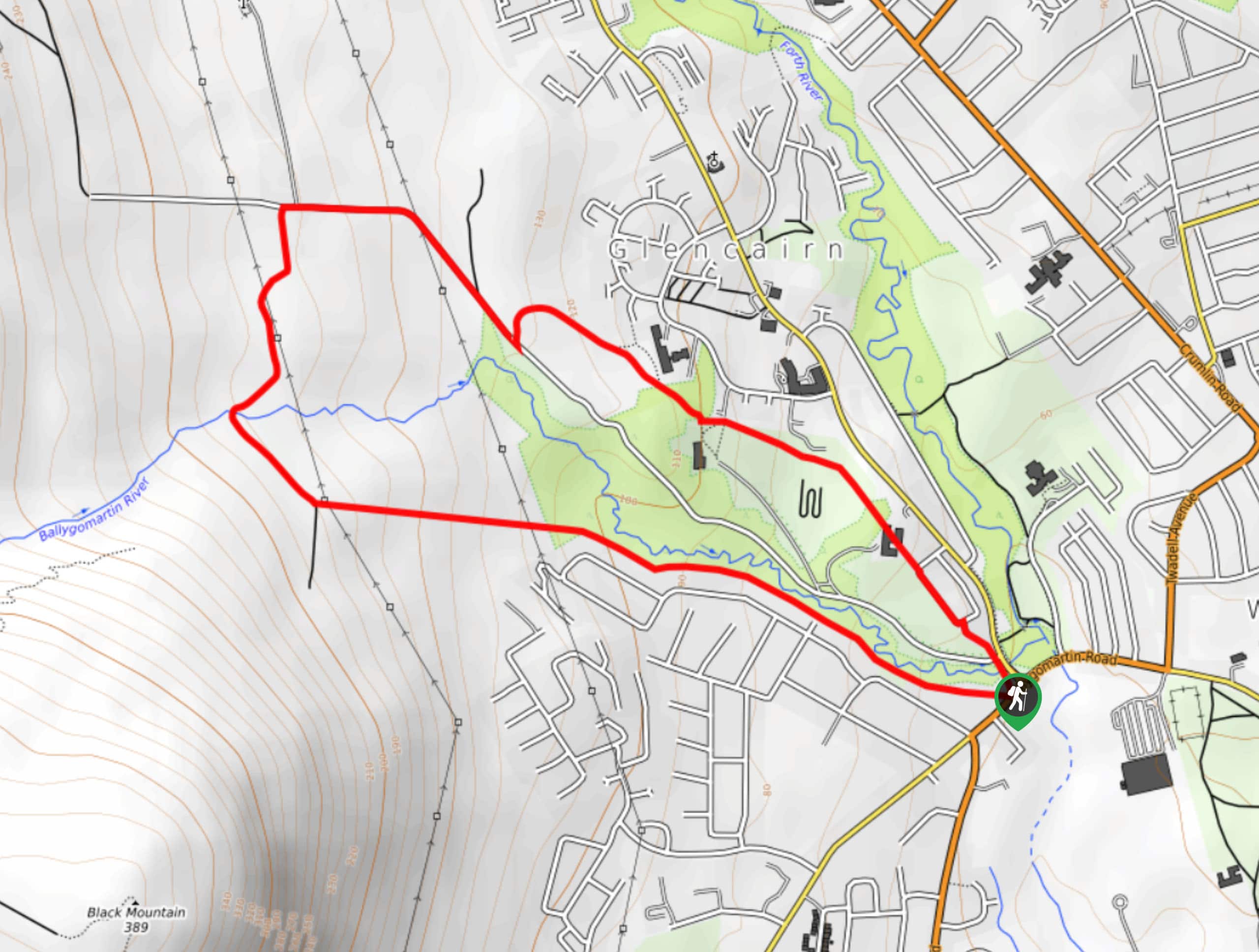
The Glencairn Park and Ballygomartin River Walk is a fantastic adventure on the edge of Belfast that will take you uphill for views of the city. While out walking the trail, you will make your way through the lovely expanse of Glencairn Park and follow along the banks of the Ballygomartin River, before climbing uphill to a viewpoint overlooking Belfast and Belfast Lough. This is an awesome walk that the entire family will be able to enjoy.
Getting there
The trailhead for the Glencairn Park and Ballygomartin River Walk can be found near the entrance to Glencairn Park at the corner of Forthriver Road and Ballygomartin Road.
About
| Backcountry Campground | No |
| When to do | Year-Round |
| Pets allowed | Yes - On Leash |
| Family friendly | Yes |
| Route Signage | Average |
| Crowd Levels | Moderate |
| Route Type | Circuit |
Glencairn Park and Ballygomartin River Walk
Elevation Graph
Weather
Glencairn Park and Ballygomartin River Walk Description
If you are after a relaxing walk through the park that will finish with some stunning views overlooking Belfast, then you should definitely check out the Glencairn Park and Ballygomartin River Walk. The well-maintained pathways along this route are easy to navigate, making this a laid back experience that is suitable for most ages and skill levels.
Setting out from the trailhead, you will make your way along the edge of Glencairn Park in a northwestern direction, following along the banks of the Ballygomartin River. Here, you will begin to climb up the hillside in order to reach a beautiful viewpoint with a commanding sightline over Belfast and Belfast Lough.
After taking in the views, head north along the slopes of the hill until you arrive at the edge of Glencairn Road. Turn right here and follow the road to the southeast, before breaking off onto a footpath on the left. Here, you will make your way through Glencairn Park on the return to the trailhead.
Similar hikes to the Glencairn Park and Ballygomartin River Walk hike

Helen’s Tower Walk
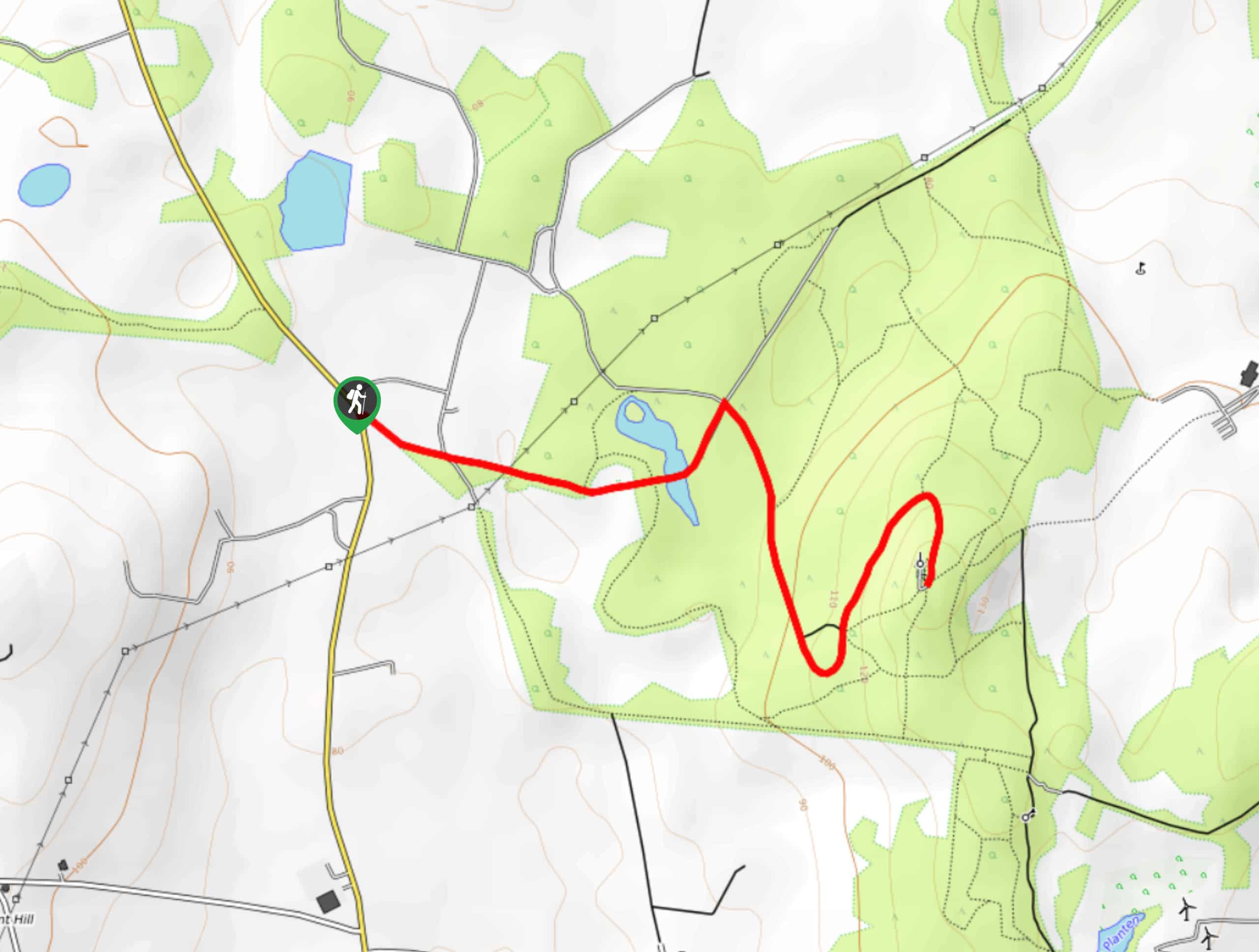
The Helen’s Tower Walk is a quick adventure in County Down that will lead you slightly uphill to an historic…

Drumnaph Nature Reserve Walk
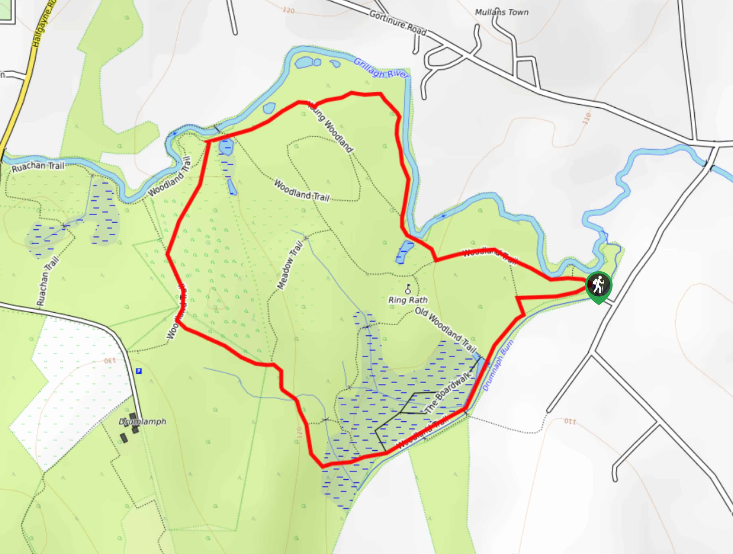
The Drumnaph Nature Reserve Walk is a fun outdoor excursion that will lead you through a variety of landscapes offering…

Orlock Point Walk
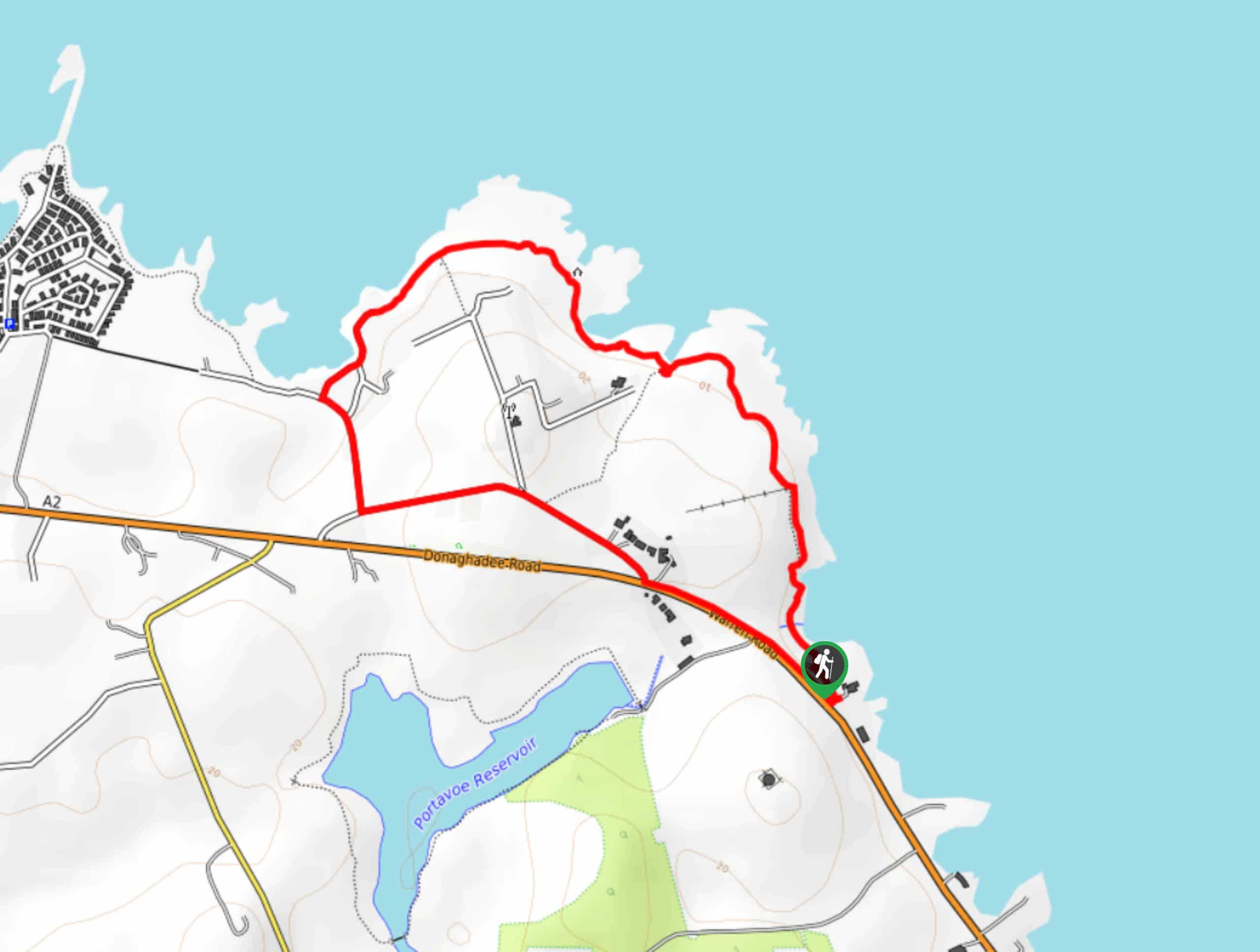
The Orlock Point Walk is a beautifully scenic coastal adventure in County Down, Northern Ireland that offers some nice views…


Comments