

Ballypatrick Forest Circular Walk
View PhotosBallypatrick Forest Circular Walk
Difficulty Rating:
The Ballypatrick Forest Circular Walk is a solid excursion in County Antrim, Northern Ireland that will lead you through a beautifully scenic swathe of woodland landscape. While out walking the trail, you will loop through a forest of mature trees and take in the views of wildlife as you traverse the undulating terrain of the surrounding area. Walkers should take note that this trail isn’t well-signed, so bring a GPS in order to stay on the correct path.
Getting there
The trailhead for the Ballypatrick Forest Circular Walk can be found at the end of Glenmakeeran Road, just 2.8mi south of Ballyvoy.
About
| Backcountry Campground | No |
| When to do | March-October |
| Pets allowed | Yes - On Leash |
| Family friendly | Older Children only |
| Route Signage | Poor |
| Crowd Levels | Low |
| Route Type | Lollipop |
Ballypatrick Forest Circular Walk
Elevation Graph
Weather
Ballypatrick Forest Circular Walk Description
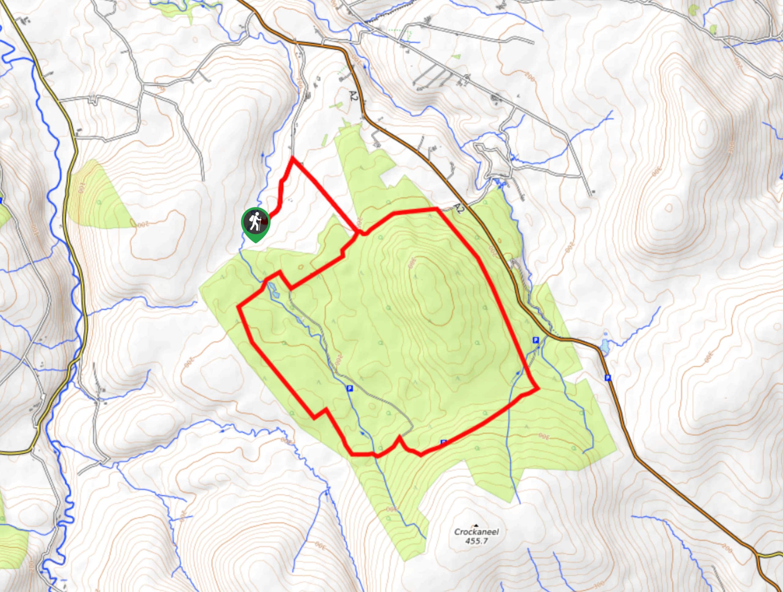
While it doesn’t feature anything in the way of breathtaking views, the Ballypatrick Forest Circular Walk does offer a great opportunity to forget about the outside world and lose yourself in the natural beauty of the forest.
Setting out from the trailhead, you will make your way to the northeast along Glenmakeeran Road, before making a sharp right. Continuing along the road, you will eventually arrive at a fork along the edge of Ballypatrick forest.
Head left here and continue along the treeline, before turning to the southeast in order to enter into the cover of the forest. After climbing slightly uphill along the forested terrain, you will follow the trail to the southwest and cross over several streams. From here, the path will lead you to the northwest, before turning to the east along several small ponds. Shortly after passing these, you will come to the initial fork in the trail, at which point, you will head left and follow the road back to your vehicle.
Similar hikes to the Ballypatrick Forest Circular Walk hike

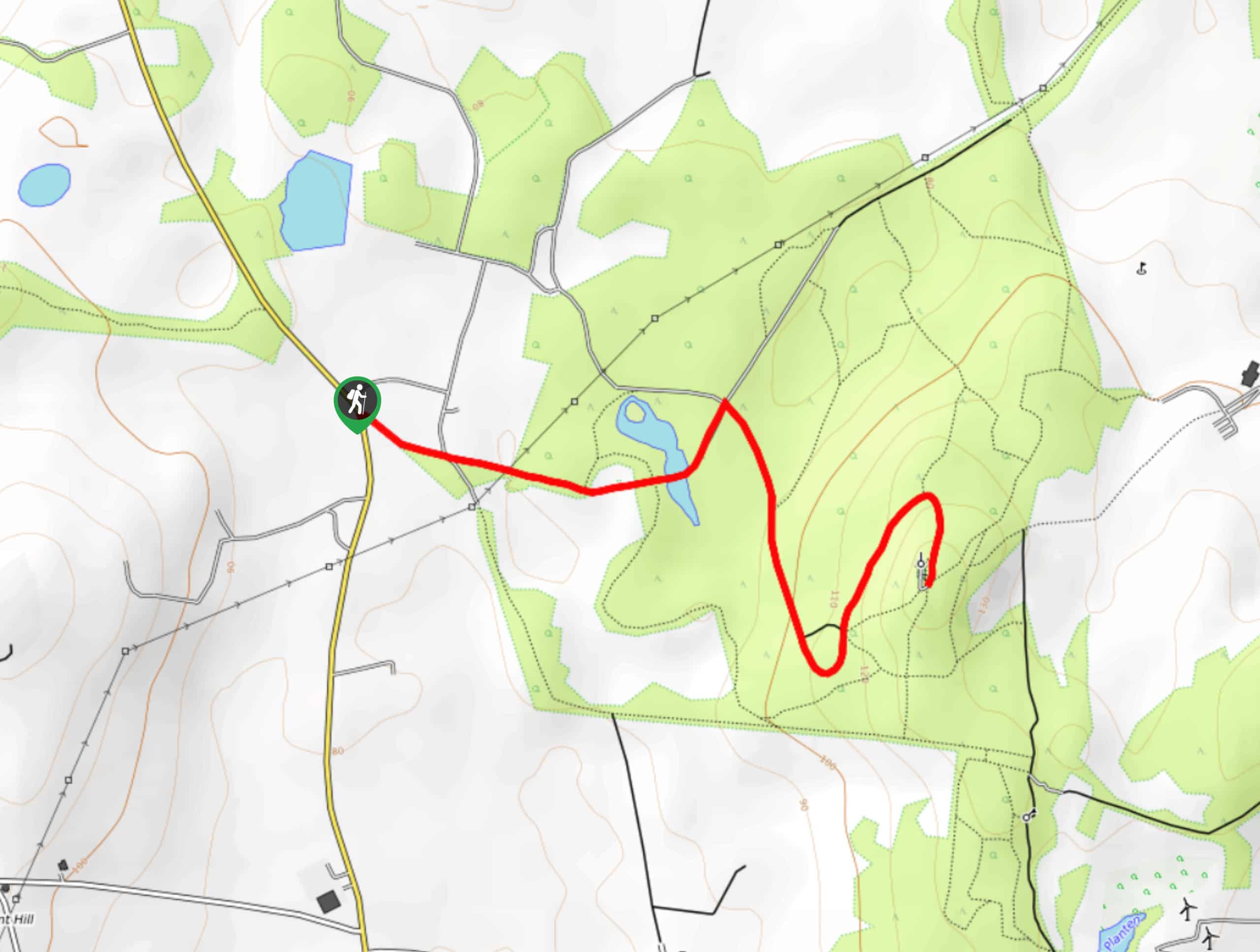
Helen’s Tower Walk
The Helen’s Tower Walk is a quick adventure in County Down that will lead you slightly uphill to an historic…

Annalong Wood and Blue Lough Circular Walk
The Annalong Wood and Blue Lough Circular Walk is a rugged and challenging adventure in the Mourne Mountains of Northern…

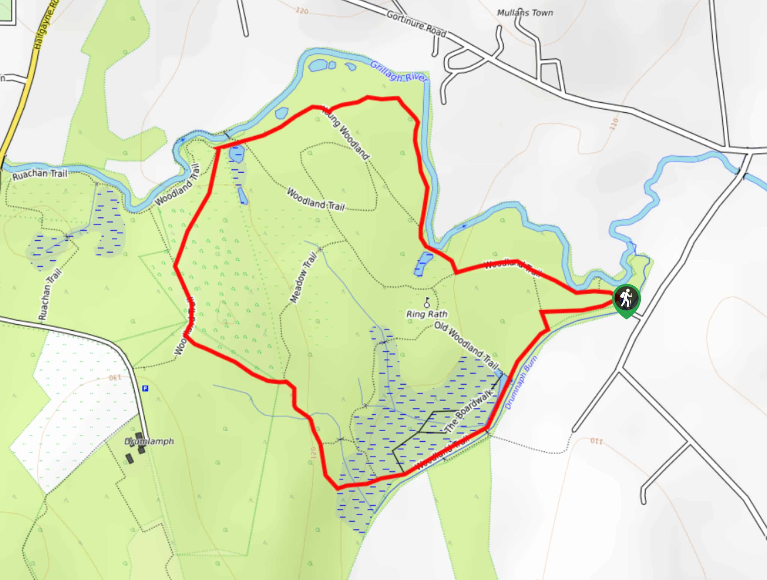
Drumnaph Nature Reserve Walk
The Drumnaph Nature Reserve Walk is a fun outdoor excursion that will lead you through a variety of landscapes offering…


Comments