

Braid River Path
View PhotosBraid River Path
Difficulty Rating:
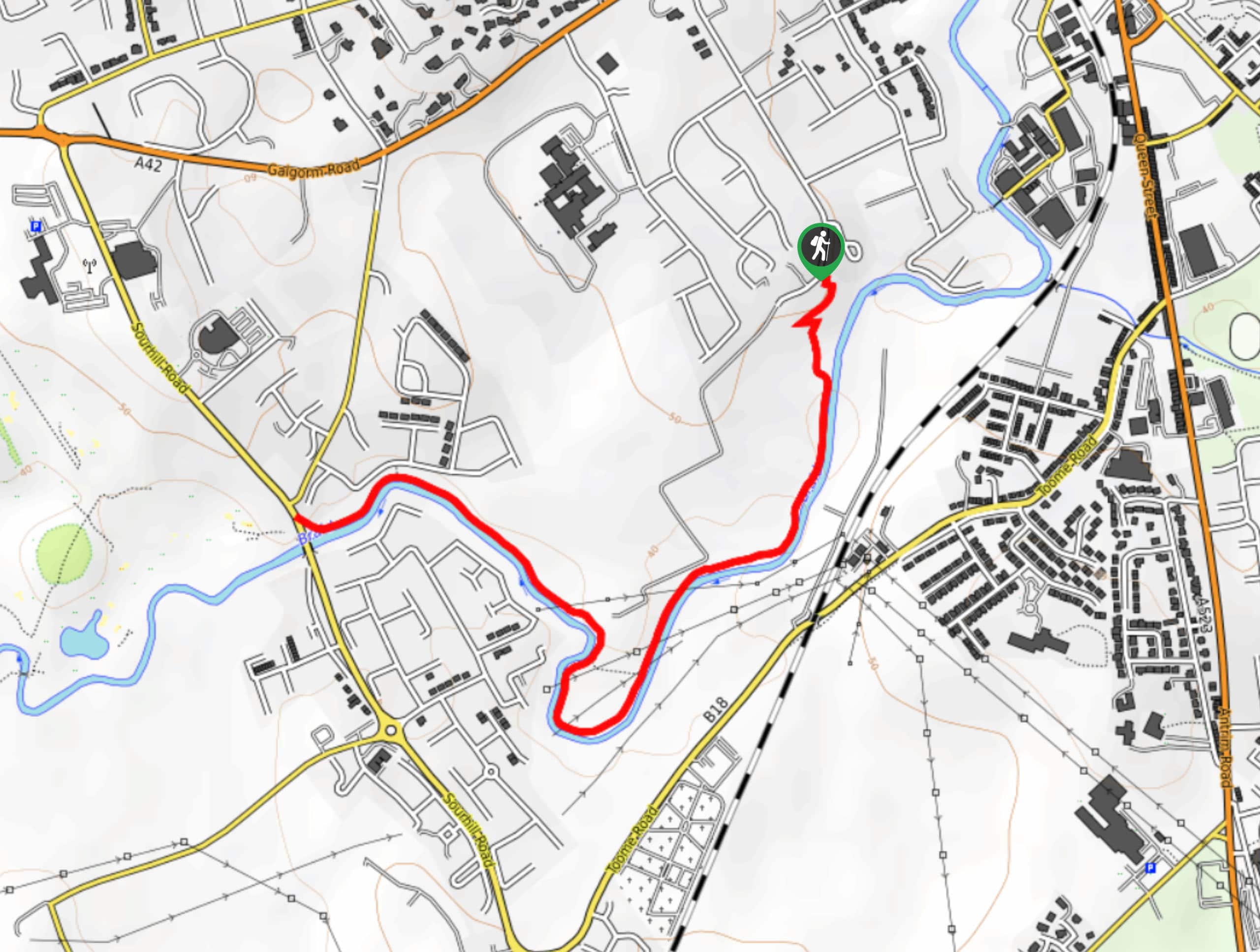
The Braid River Path is a quick and easy adventure in Ballymena, County Antrim that will lead you along the winding banks of a river for some beautiful views. While out walking the trail, you will stroll alongside the Braid River and relax in the lovely waterside setting, as you enjoy views of the surrounding farmland. The easy-going terrain and short overall distance of this route make it suitable for walkers of all ages and skill levels.
Getting there
The trailhead for the Braid River Path can be found along Grange Road, just 0.7mi southwest of the Ballymena railway station.
About
| Backcountry Campground | No |
| When to do | Year-Round |
| Pets allowed | Yes - On Leash |
| Family friendly | Yes |
| Route Signage | Average |
| Crowd Levels | Moderate |
| Route Type | Out and back |
Braid River Path
Elevation Graph
Weather
Braid River Path Description
Featuring some lovely farmland in the surrounding area and a pleasant riverside atmosphere, the Braid River Path is a great way to escape the chaos of the city and relax as you stroll the winding banks of the river.
Setting out from the trailhead of Grange Road, you will head through the light tree cover to the southwest until you arrive at the banks of the edge of the Braid River. From here, you will continue on to the southwest and enjoy the views of the peaceful farmland surrounding you, as you follow the winding riverbank towards the edge of the Galgorm Castle Golf Club. At this point, you will turn back and retrace your steps along the trail to return to the starting point for the Braid River Path.
Similar hikes to the Braid River Path hike

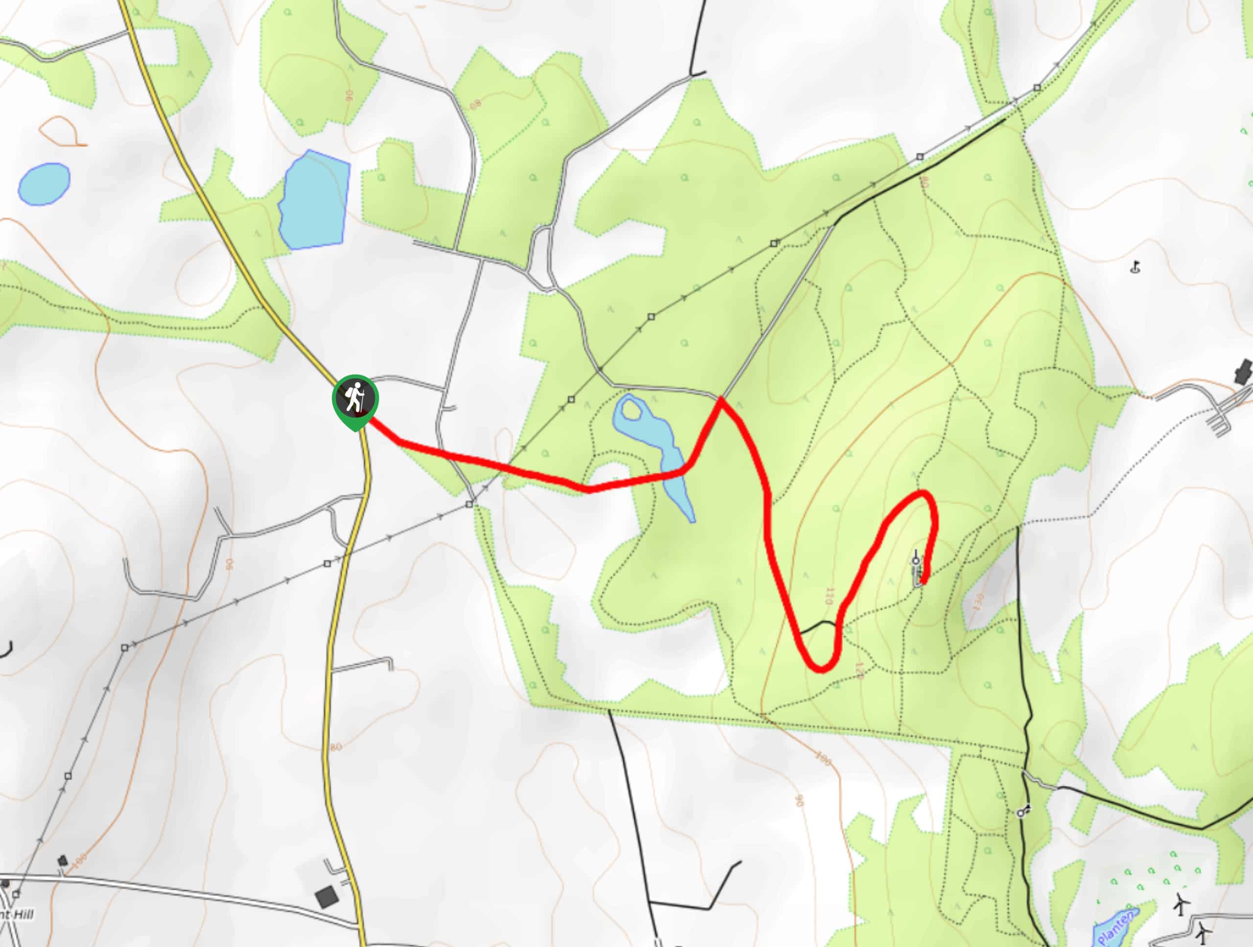
Helen’s Tower Walk
The Helen’s Tower Walk is a quick adventure in County Down that will lead you slightly uphill to an historic…

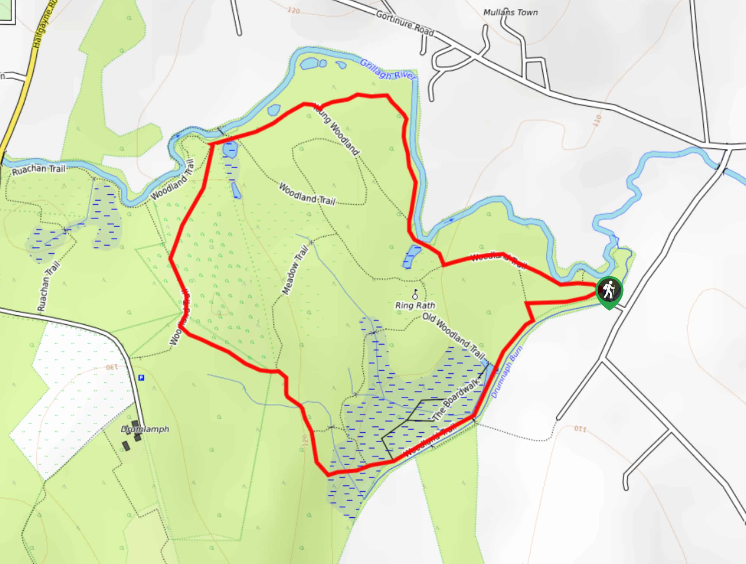
Drumnaph Nature Reserve Walk
The Drumnaph Nature Reserve Walk is a fun outdoor excursion that will lead you through a variety of landscapes offering…

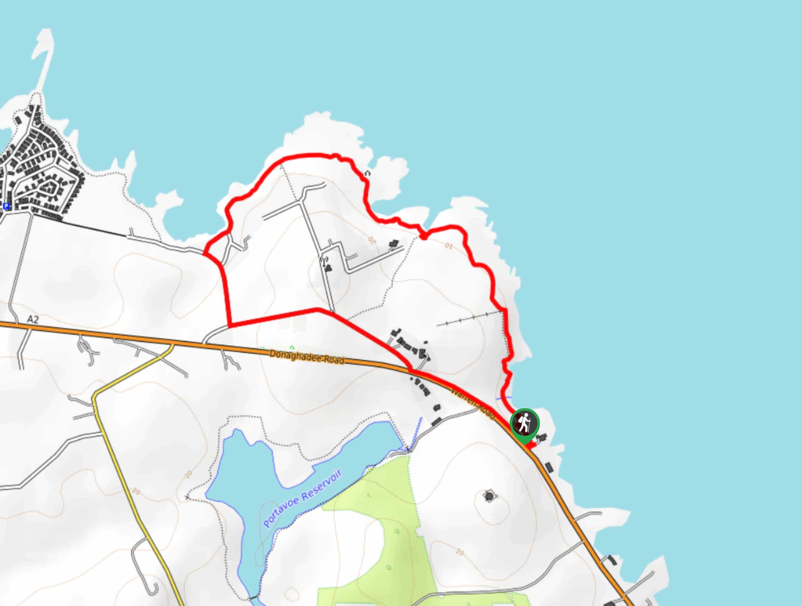
Orlock Point Walk
The Orlock Point Walk is a beautifully scenic coastal adventure in County Down, Northern Ireland that offers some nice views…


Comments