

Whyte Estate Boundary Trail
View PhotosWhyte Estate Boundary Trail
Difficulty Rating:
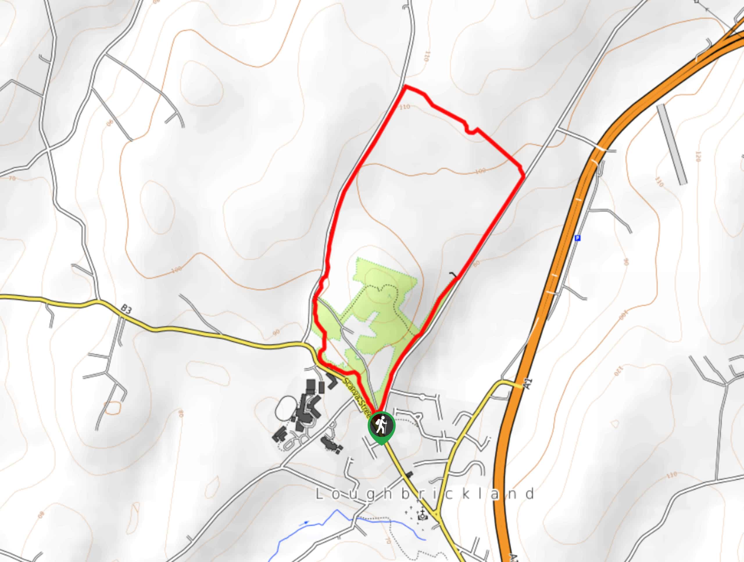
The Whyte Estate Boundary Trail is a short adventure in Loughbrickland, Northern Ireland that will see you traverse the grounds of an estate that contains several historical sites. While out on the trail, you will make your way through charming woodlands and open fields to pass by the ruins of Johnston’s Fort and the Coolnacran Ringfort. This is a great walk for anyone that enjoys nature and local history.
Getting there
The trailhead for the Whyte Estate Boundary Trail can be found in the village of Loughbrickland, at the corner of Scarva Street and Old Newry Road.
About
| Backcountry Campground | No |
| When to do | Year-Round |
| Pets allowed | Yes - On Leash |
| Family friendly | Yes |
| Route Signage | Average |
| Crowd Levels | Moderate |
| Route Type | Circuit |
Whyte Estate Boundary Trail
Elevation Graph
Weather
Whyte Estate Boundary Trail Description
If you’ve been looking for a short adventure that features some interesting historical sites, then look no further than the Whyte Estate Boundary Trail. This route contains the remnants of two ringforts that date back over 1000 years and the estate was also utilized to house soldiers during the Second World War. For such a short route, it sure is packed with plenty of local history!
Setting out from the trailhead, you will make your way to the northeast and follow the forested path as it runs parallel to Old Newry Road, passing by the ruins of the Coolnacran Ringfort deeper into the tree cover on your left. After reaching the northeastern corner of the route, you will turn left and cut across the open field to pass by Johnston’s Ringfort and meet up with Coolnacran Road. Follow this to the southwest in order to complete the loop around the estate and arrive back at the trailhead.
Similar hikes to the Whyte Estate Boundary Trail hike

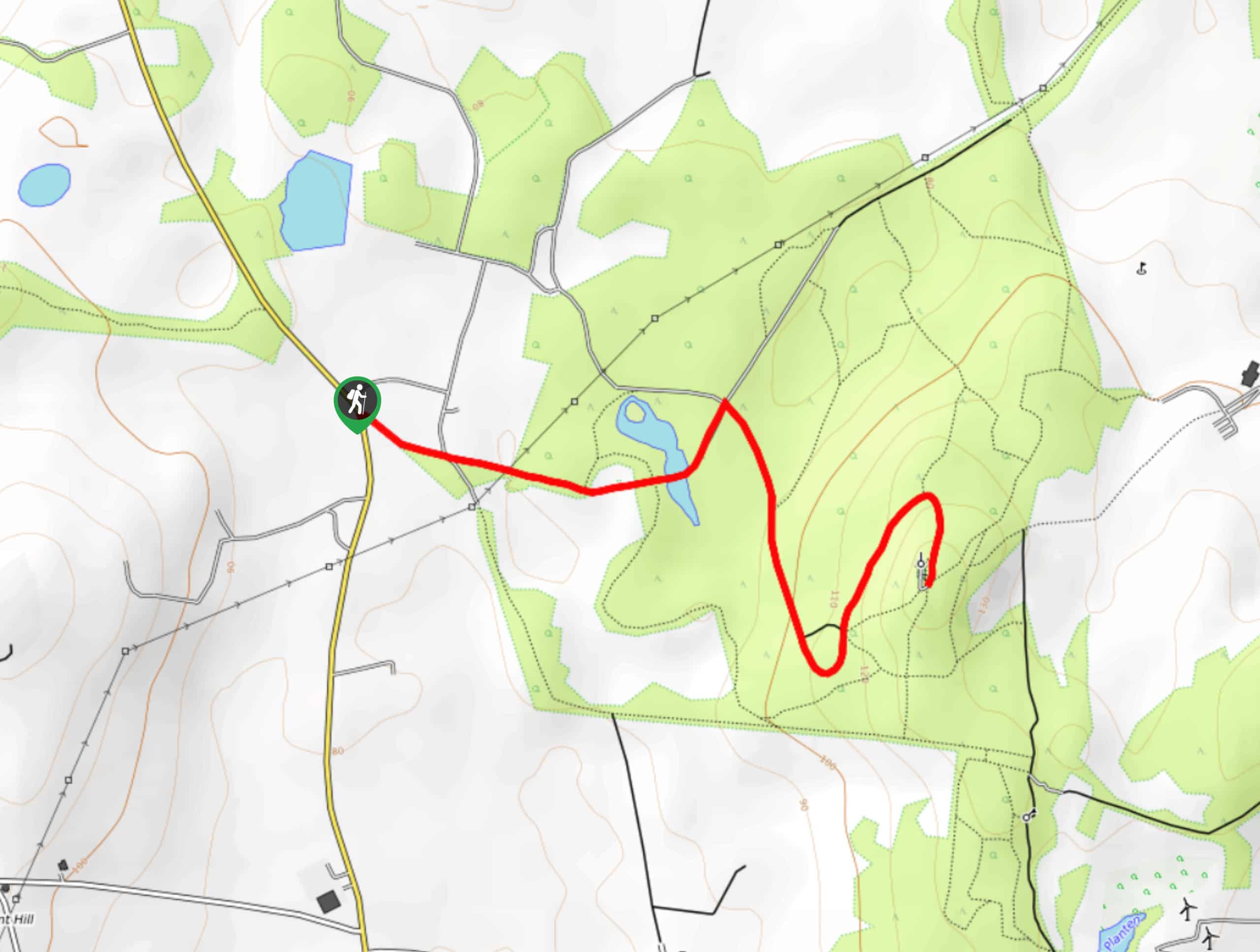
Helen’s Tower Walk
The Helen’s Tower Walk is a quick adventure in County Down that will lead you slightly uphill to an historic…

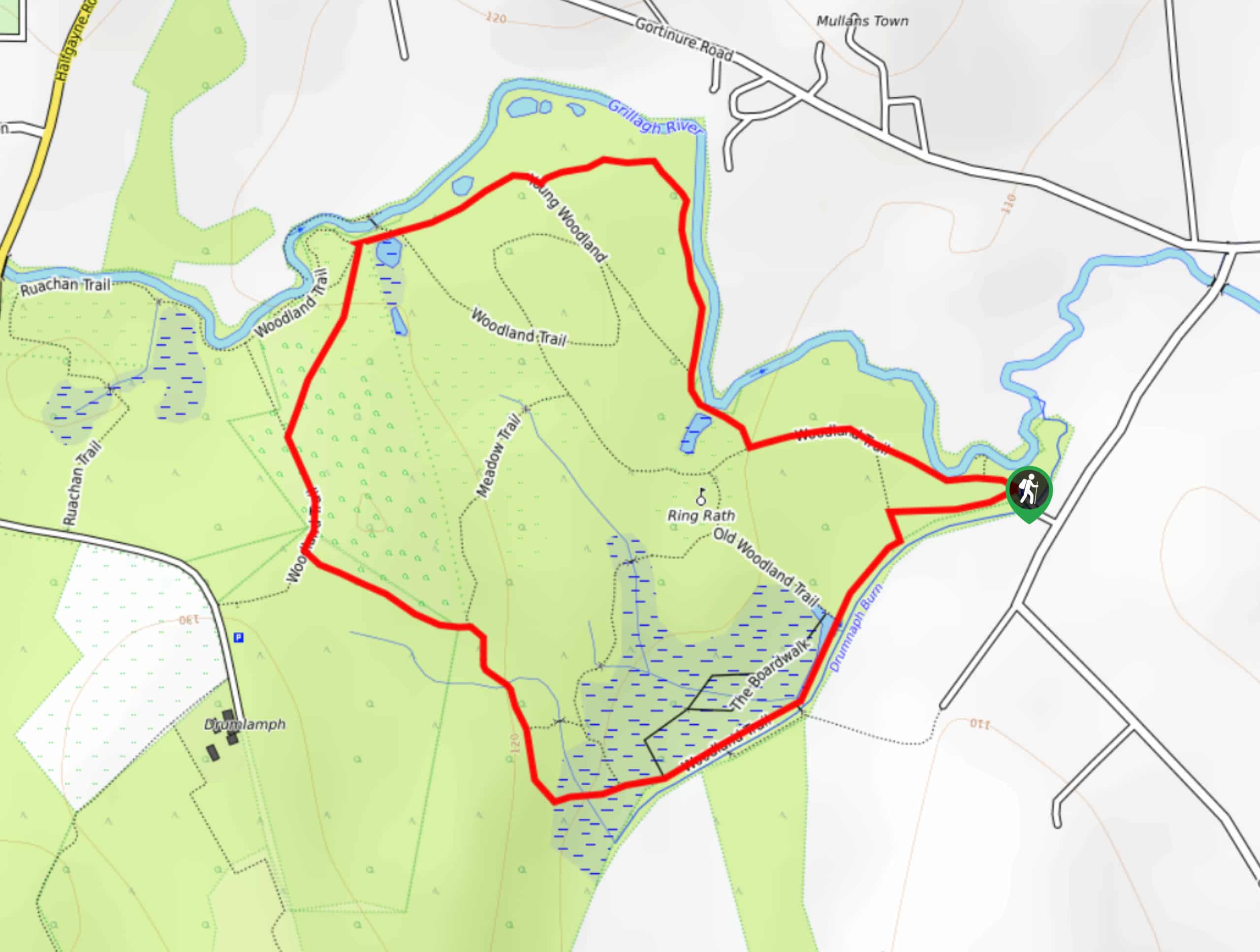
Drumnaph Nature Reserve Walk
The Drumnaph Nature Reserve Walk is a fun outdoor excursion that will lead you through a variety of landscapes offering…

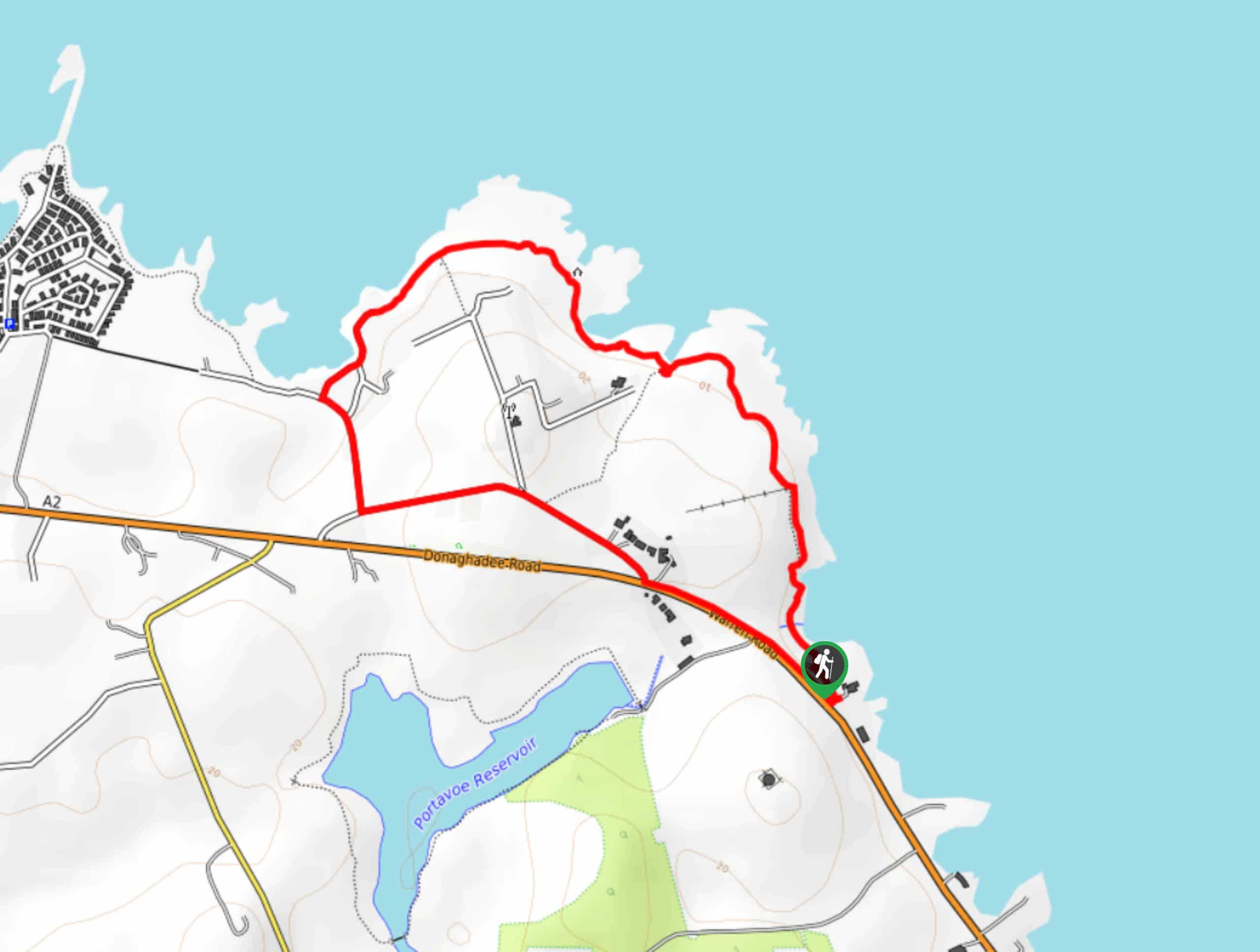
Orlock Point Walk
The Orlock Point Walk is a beautifully scenic coastal adventure in County Down, Northern Ireland that offers some nice views…


Comments