

Old Railway Line Walk
View PhotosOld Railway Line Walk
Difficulty Rating:
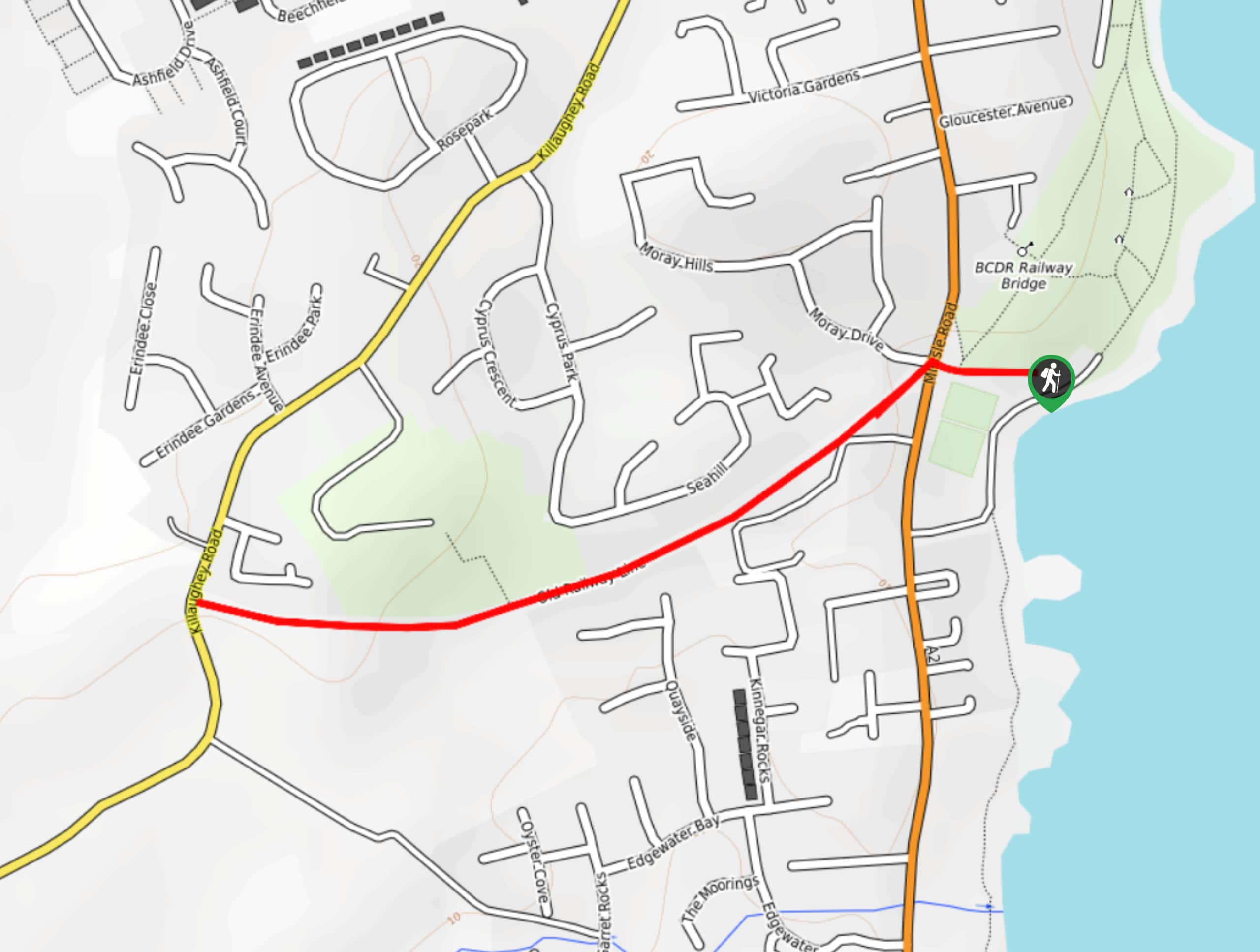
The Old Railway Line Walk is a fun, family-friendly adventure in Donaghadee, Northern Ireland that will take you along a repurposed rail line. While out on the trail, you will leave behind the shores of Coalpit Bay and make your way west past Hunts Park, before retracing your steps along the trail. This is fantastic route to get out for a spot of exercise or to take the dogs on a quick walk.
Getting there
The trailhead for the Old Railway Line Walk can be found at The Commons Car Park in Donaghadee, just off Millisle Road.
About
| Backcountry Campground | No |
| When to do | Year-Round |
| Pets allowed | Yes - On Leash |
| Family friendly | Yes |
| Route Signage | Average |
| Crowd Levels | Moderate |
| Route Type | Out and back |
Old Railway Line Walk
Elevation Graph
Weather
Old Railway Line Walk Description
Featuring little in the way of challenging terrain, the Old Railway Line Walk is a quick and easy adventure that will see you make your way through Donaghadee to enjoy some scenic views along a repurposed rail line.
Setting out from the car park at The Commons Park, you will first take in the lovely views of Coalpit Bay, before making your way west and the trail. Take some time to appreciate the tree-lined path, as you work your way through the town of Donaghadee and pass by Hunts Park. After passing by the tower and reaching the endpoint of the route at Killaughey Road, you can turn back to retrace your steps along the trail on the return to the car park.
Similar hikes to the Old Railway Line Walk hike

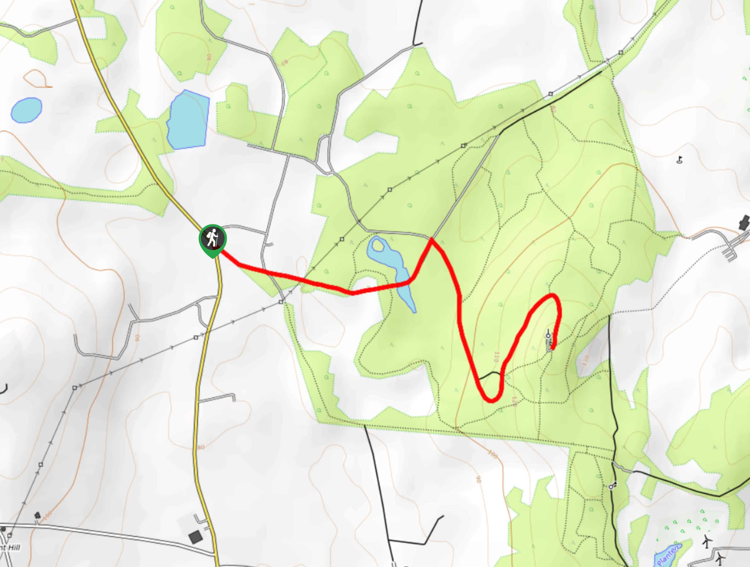
Helen’s Tower Walk
The Helen’s Tower Walk is a quick adventure in County Down that will lead you slightly uphill to an historic…

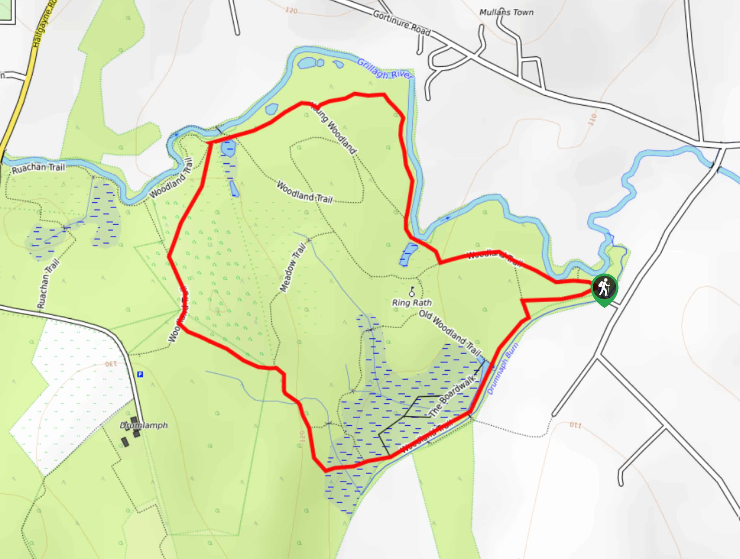
Drumnaph Nature Reserve Walk
The Drumnaph Nature Reserve Walk is a fun outdoor excursion that will lead you through a variety of landscapes offering…

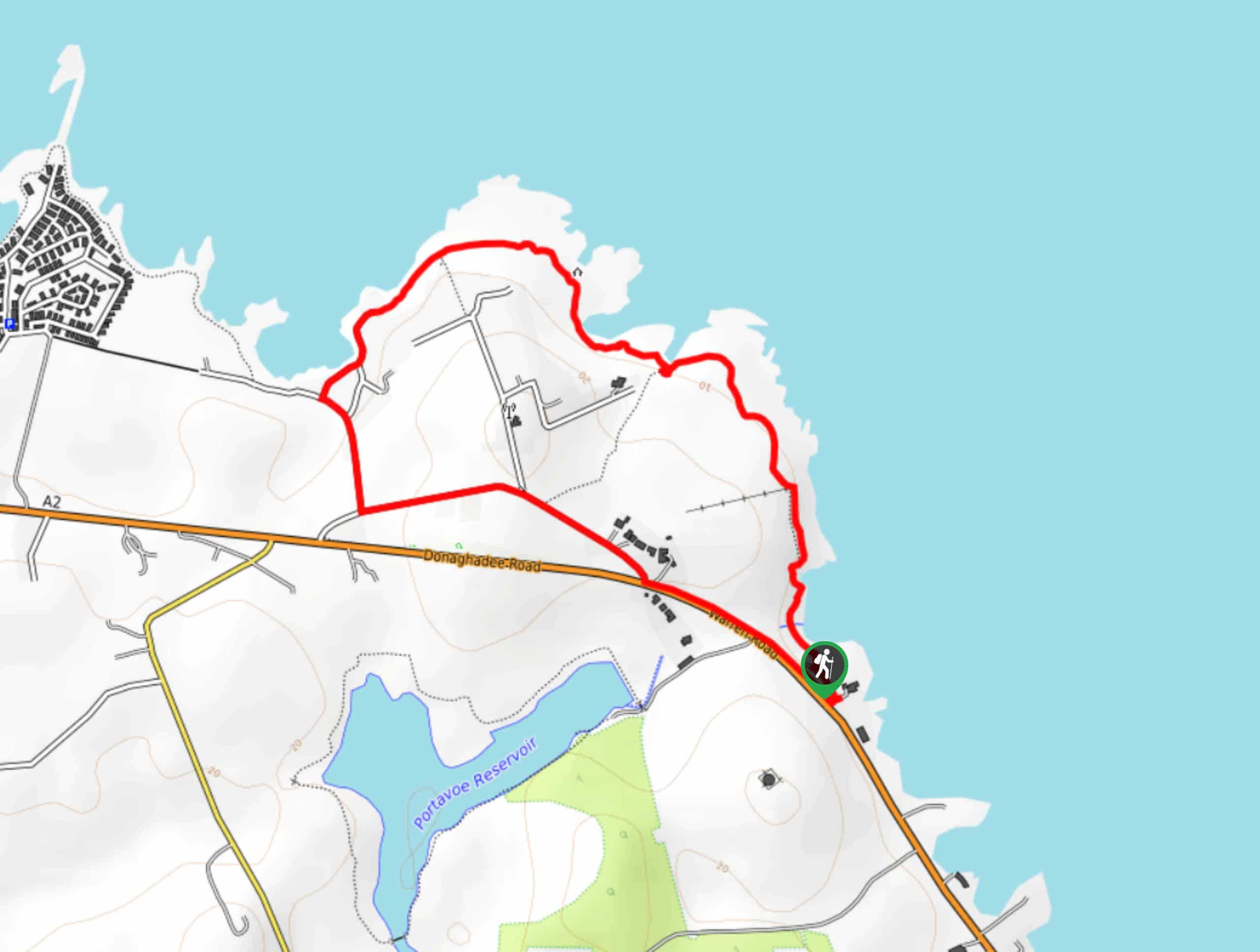
Orlock Point Walk
The Orlock Point Walk is a beautifully scenic coastal adventure in County Down, Northern Ireland that offers some nice views…


Comments