

South West Coast Path: Downderry to Plymouth
View PhotosSouth West Coast Path: Downderry to Plymouth
Difficulty Rating:
The South West Coast Path: Downderry to Plymouth is a long segment of the 630.0mi national trail known as the South West Coast Path. While out exploring this portion of the famous walk, you will traverse the rugged coastline and walk along the Rame Head Peninsula before taking a ferry across to the end of the route in Plymouth. This may be a lengthy adventure, but there is no better way to explore the natural beauty of the Cornish coast.
Getting there
To reach the South West Coast Path: Downderry to Plymouth trailhead from the Seaton Countryside Park, head east on Brenton Road for 0.7mi and turn right to arrive at the car park.
About
| Backcountry Campground | Whitsand Bay Holiday Park, Maker Camping |
| When to do | Year-Round |
| Pets allowed | Yes - On Leash |
| Family friendly | No |
| Route Signage | Average |
| Crowd Levels | Low |
| Route Type | One Way |
South West Coast Path: Downderry to Plymouth
Elevation Graph
Weather
Downderry to Plymouth Trail Description
One of the longer stretches of the South West Coast Path, the Downderry to Plymouth segment is most often split up into a multi-day journey, as the overall distance (19.7mi) and elevation gain (2762ft) along the route can be a lot to overcome in a single day for many walkers. Even still, some people do complete it in a day, on average taking anywhere between 9.5 to 11.5 hours.
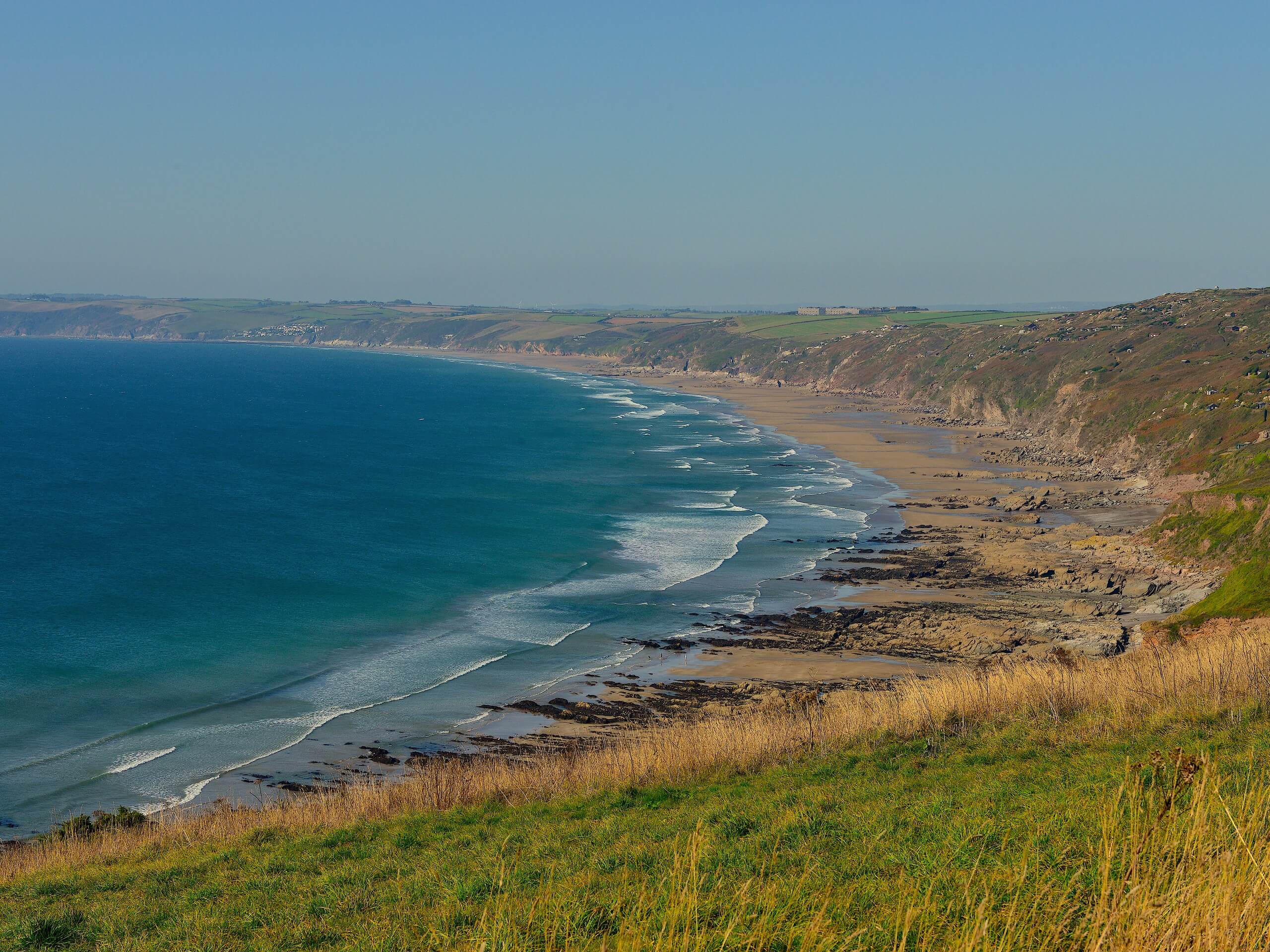
Setting out from the trailhead, you will head to the southeast along the Cornish coastline, taking in the stunning views across the English Channel as you make your way towards Rame Head. Here, you will traverse the rugged terrain along this scenic peninsula and enjoy the stunning views overlooking the water from atop the cliffs.
From here, you will head through Cawsand and Kingsand on the way to Mount Edgcumbe Country Park, where you will pass by the extravagant grounds of Mount Edgcumbe House. Reaching the north end of the park, you will arrive in Cremyll, where you will need to take the ferry over to Plymouth. After crossing over the water, make your way east along the water’s edge and enjoy the bustling atmosphere of the city, as you make your way to the endpoint of the walk at the West Pier.
Similar hikes to the South West Coast Path: Downderry to Plymouth hike

Restronguet Passage Circular Walk
The Restronguet Passage Circular Walk is a fantastic outdoor excursion in Cornwall that offers beautifully scenic views overlooking a number…

Crantock and The Gannel Circular Walk
The Crantock and The Gannel Circular Walk is a beautifully scenic adventure near Newquay, Cornwall that will lead you through…

Egloshayle Circular Walk
The Egloshayle Circular Walk is a great outdoor excursion set in the Cornish countryside that will expose you to a…


Comments