

South West Coast Path: Helford to St Anthony
View PhotosSouth West Coast Path: Helford to St Anthony
Difficulty Rating:
Walking the South West Coast Path: Helford to St Anthony is an exciting adventure along the coast of Cornwall that requires several ferry crossings and offers stunning views of the water. While out on the trail, you will take the ferry across the Helford River and traverse the coastal landscape toward Falmouth, where you will take another ferry to reach St Anthony. This is a fantastic trail, as it offers a good variety of scenery and changes of pace by utilizing the ferry crossings.
Getting there
To reach the South West Coast Path: Helford to St Anthony trailhead from the nearby village of Manaccan, head to the northwest for 0.2mi and turn right, making an immediate left after 66ft. Continue on for 0.5mi and turn left, following the road for another 0.3mi. Make a right here to enter the car park.
About
| Backcountry Campground | No |
| When to do | Year-Round |
| Pets allowed | Yes - On Leash |
| Family friendly | No |
| Route Signage | Average |
| Crowd Levels | Moderate |
| Route Type | One Way |
South West Coast Path: Helford to St Anthony
Elevation Graph
Weather
Helford to St Anthony Trail Description
If you are looking for a bit of a different way to explore the Cornish coast, one that involves several ferry crossings, then the South West Coast Path: Helford to St Anthony will be a great route for you. Due to the ferry crossings at the beginning and end of the walk, the logistics of this route can be a bit tricky. Be sure to check out the ferry operation schedule in advance and plan your adventure accordingly.
Setting out from the trailhead in Helford, you will head north through the village to reach the ferry crossing that will take you across the Helford River. Once you are on the opposite bank, head to the east and follow the trail as it meanders along the coast past several beaches to reach Rosemullion Head.
From there, you will head north and traverse the rugged, yet beautiful landscape of the coast, eventually walking around the historic Pendennis Castle that was constructed by King Henry VIII during the 16th Century. Continuing along the water’s edge, you will enjoy some nice views of the harbour, as you make your way towards the Prince of Wales pier landing in Falmouth. Take the ferry across the water to St Mawes, where you will need to catch another, shorter ferry to the end point of the walk in St Anthony.
Similar hikes to the South West Coast Path: Helford to St Anthony hike

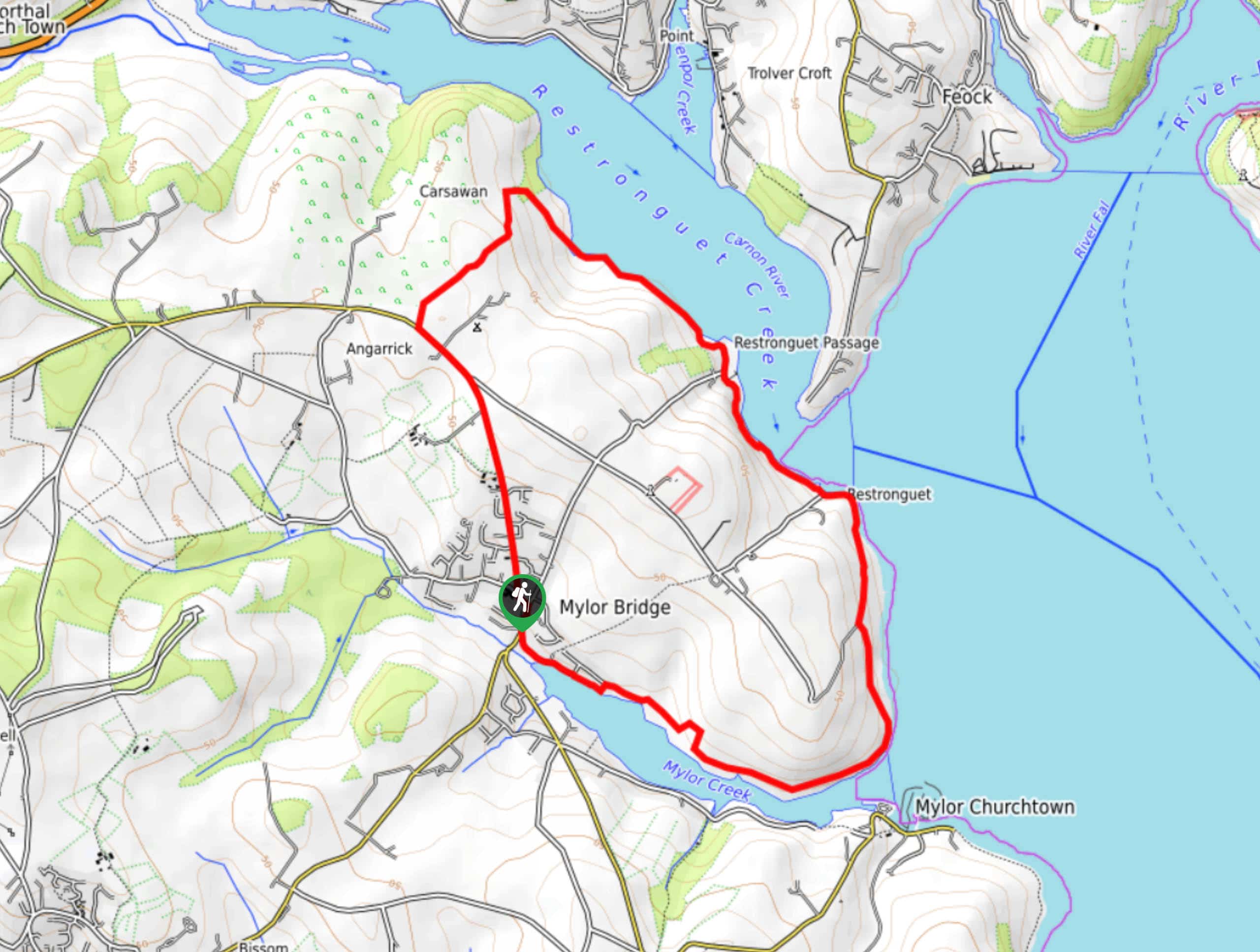
Restronguet Passage Circular Walk
The Restronguet Passage Circular Walk is a fantastic outdoor excursion in Cornwall that offers beautifully scenic views overlooking a number…

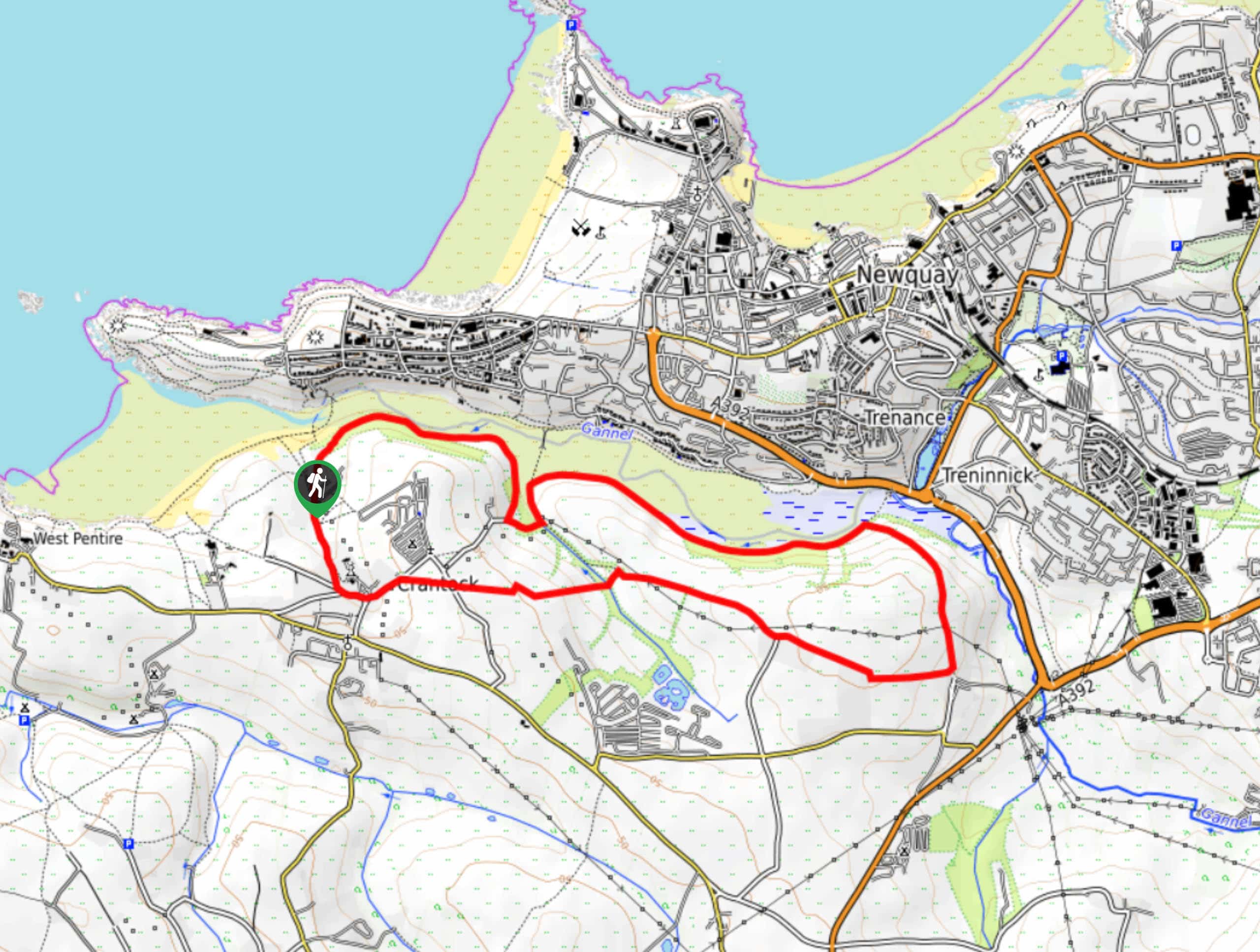
Crantock and The Gannel Circular Walk
The Crantock and The Gannel Circular Walk is a beautifully scenic adventure near Newquay, Cornwall that will lead you through…

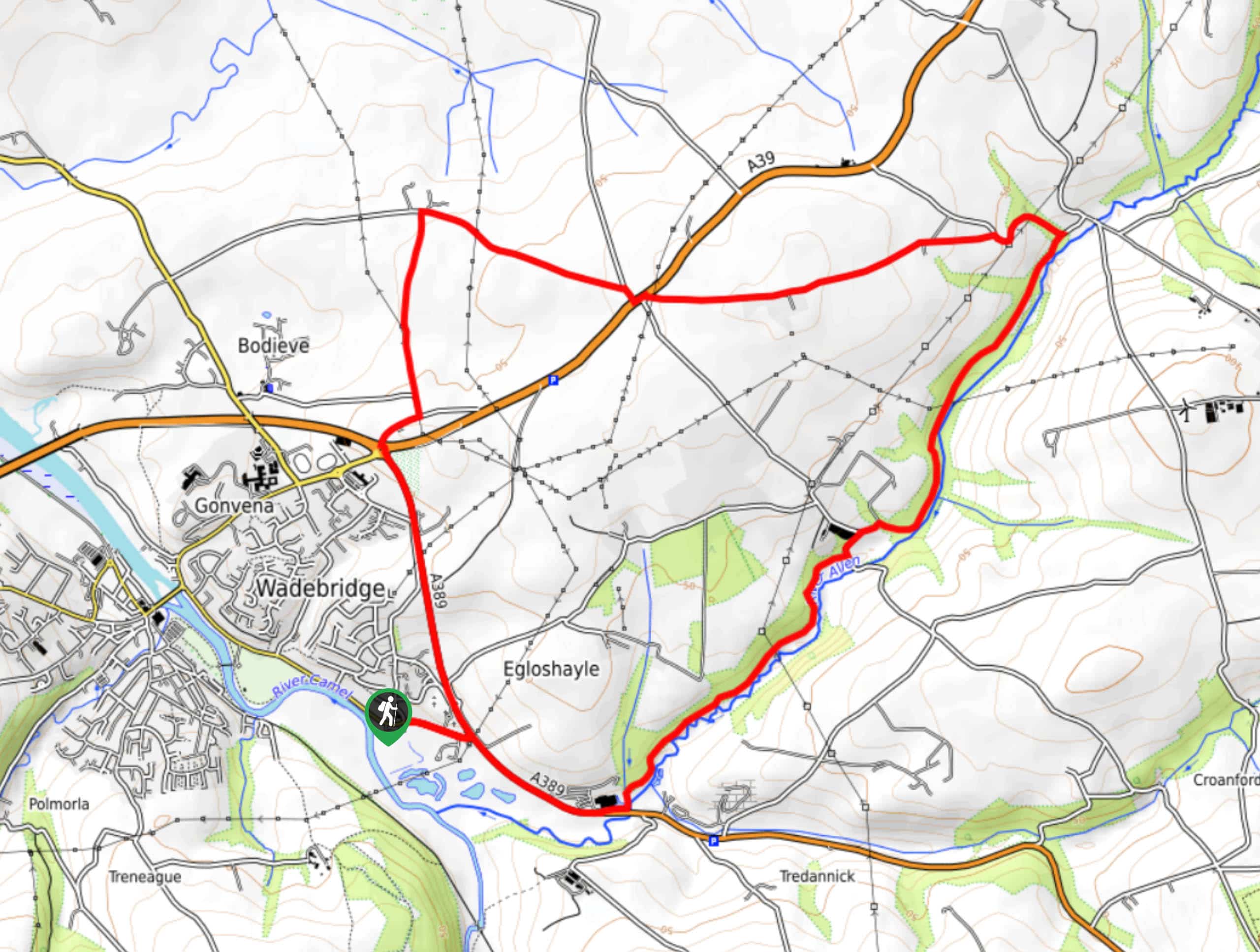
Egloshayle Circular Walk
The Egloshayle Circular Walk is a great outdoor excursion set in the Cornish countryside that will expose you to a…


Comments