

South West Coast Path: Geevor to Land’s End
View PhotosSouth West Coast Path: Geevor to Land’s End
Difficulty Rating:
The South West Coast Path: Geevor to Land’s End is a wonderfully scenic walking route along the coast that will allow you to explore the southwest corner of England. While out on the trail, you will enjoy lovely seaside views, walk past historical sites, and experience the rugged beauty of the Cornish coast. This is a one-way trail, so make sure to arrange a pick up or plan out your public transit route from the end point of the walk.
Getting there
To get to the South West Coast Path: Geevor to Land’s End trailhead from St Just, head northwest on B3306 for 2.1mi and turn left to continue on for 0.2mi. Make a right here to enter the car park. Continuing on foot, make your way to the northwest to reach the South West Coast Path and the starting point of the walk.
About
| Backcountry Campground | No |
| When to do | Year-Round |
| Pets allowed | Yes - On Leash |
| Family friendly | Older Children only |
| Route Signage | Average |
| Crowd Levels | Moderate |
| Route Type | One Way |
South West Coast Path: Geevor to Land’s End
Elevation Graph
Weather
Geevor to Land’s End Trail Description
Exploring the picturesque English coastline is a wonderful way to spend the day outdoors, so why not head to Cornwall to experience the picturesque views along the South West Coast Path: Geevor to Land’s End. Stunning sightlines across the Atlantic Ocean, interesting historical sites, and the dramatic cliffs and coves of the Cornish coast await on this awesome adventure. While this segment of the South West Coast isn’t as long or physically demanding as others, you should still come prepared with stutter walking boots and plenty of water.
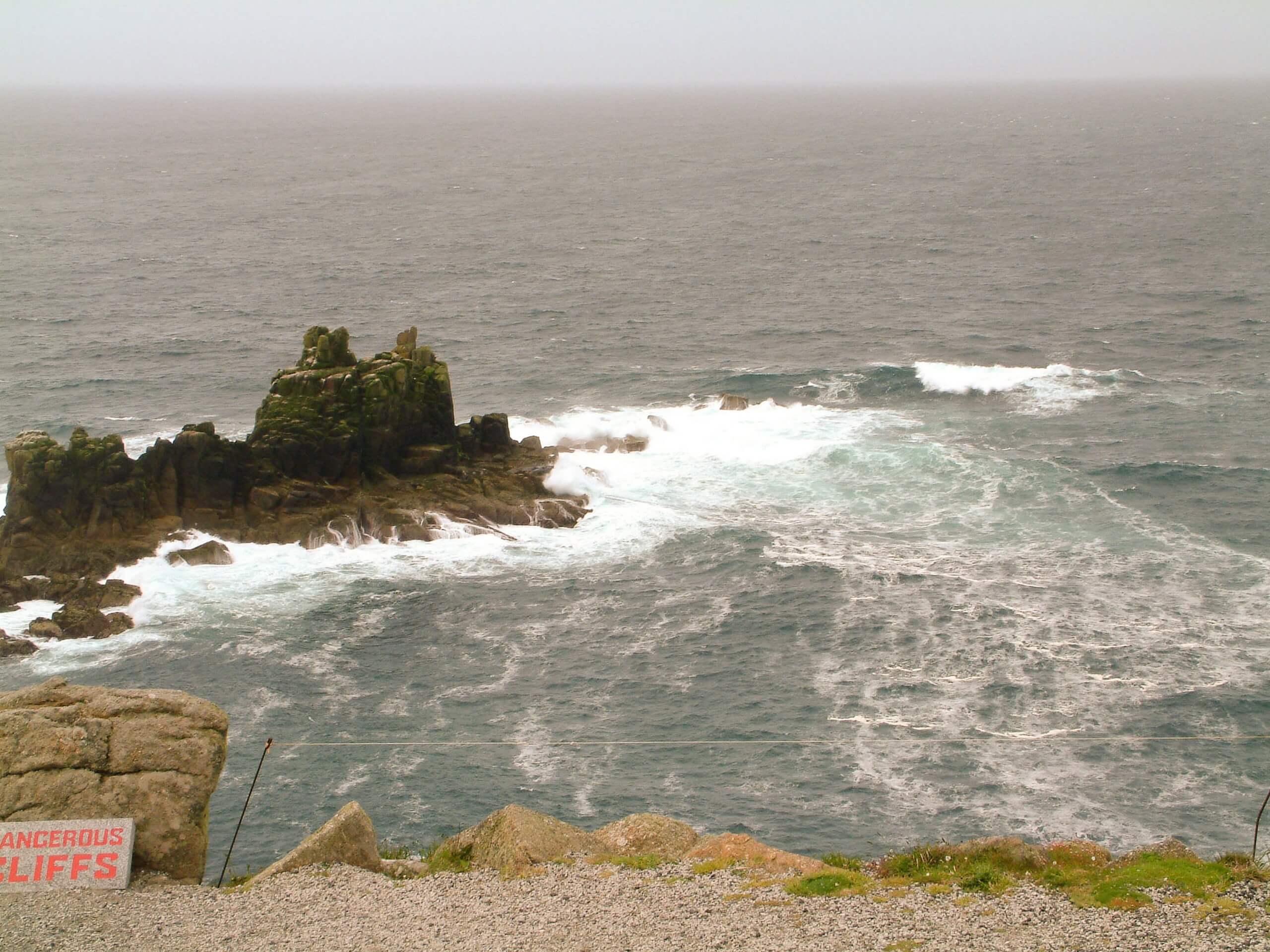
Setting out from the trailhead in Geevor, make your way to the southwest along the coast, where you will enjoy some spectacular views across the water and pass by the mysterious ruins of several old mining buildings. Continuing along the trail, you will pass by the remnants of the Kenidjack Cliff Castle, before rounding Cape Cornwall, where you will find some toilet facilities located right along the trail.
From this point, you will make your way past the golf course and pass by some more old mine shafts, eventually working your way along the picturesque stretch of coast that includes Gwynver Beach and Sennen Cove. After passing by the Mayon Cliff shipwreck and taking in the cliffside views of the westernmost point of Cornwall, you will arrive at the end point of the walk at Land’s End.
Similar hikes to the South West Coast Path: Geevor to Land’s End hike

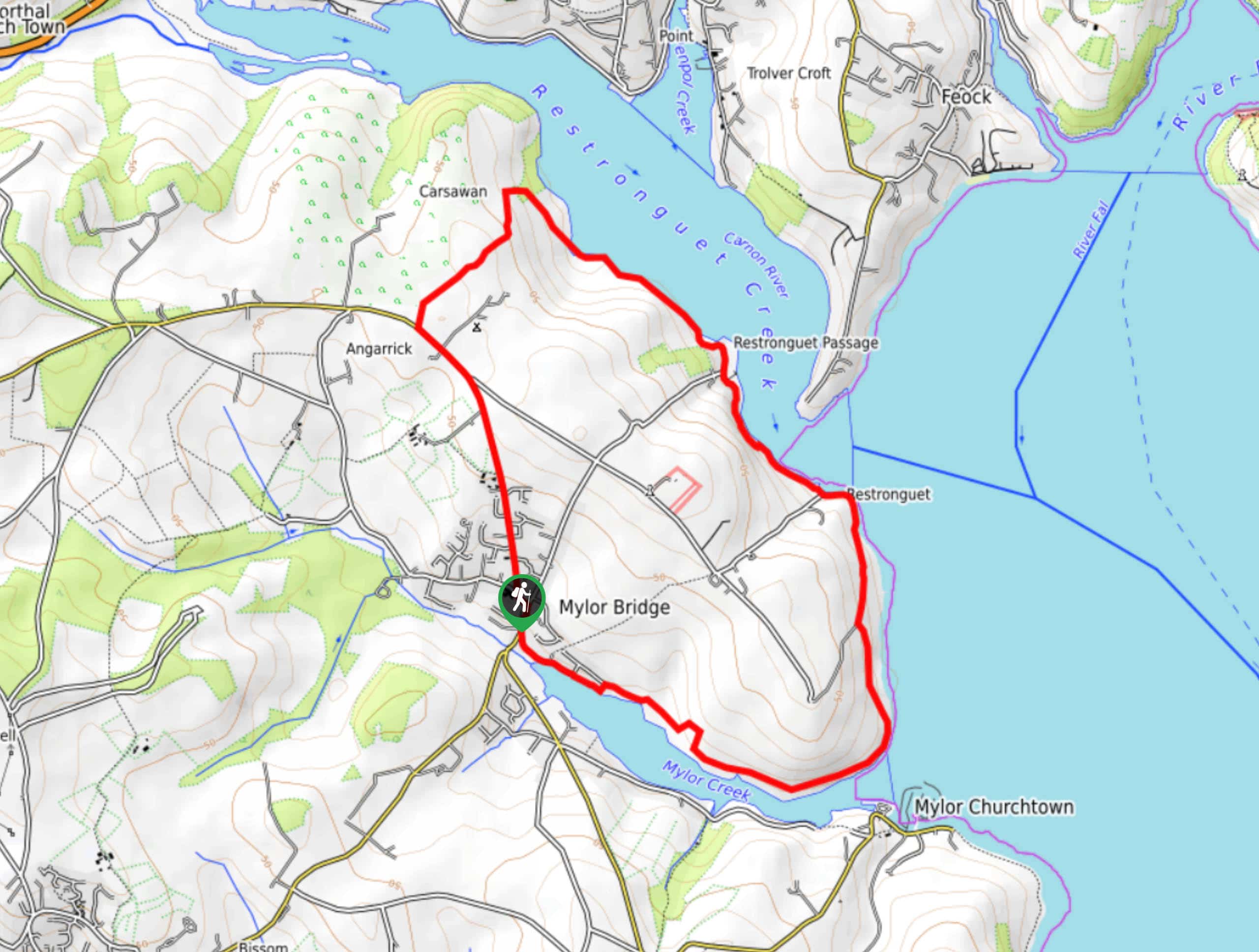
Restronguet Passage Circular Walk
The Restronguet Passage Circular Walk is a fantastic outdoor excursion in Cornwall that offers beautifully scenic views overlooking a number…

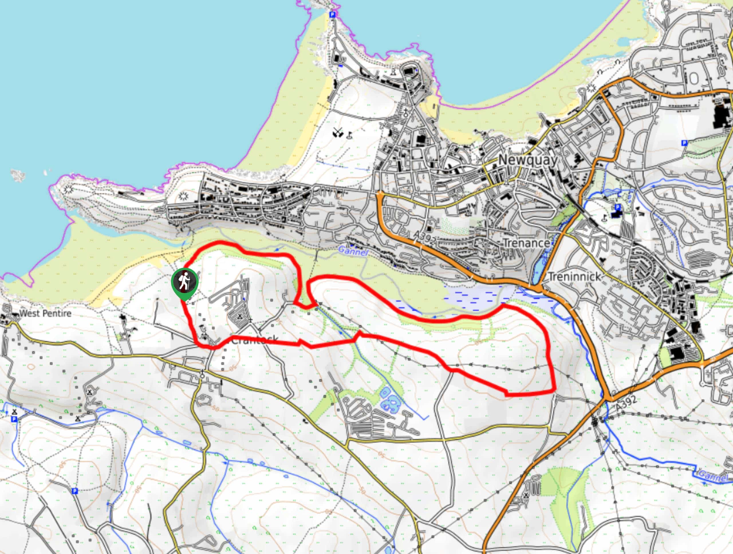
Crantock and The Gannel Circular Walk
The Crantock and The Gannel Circular Walk is a beautifully scenic adventure near Newquay, Cornwall that will lead you through…

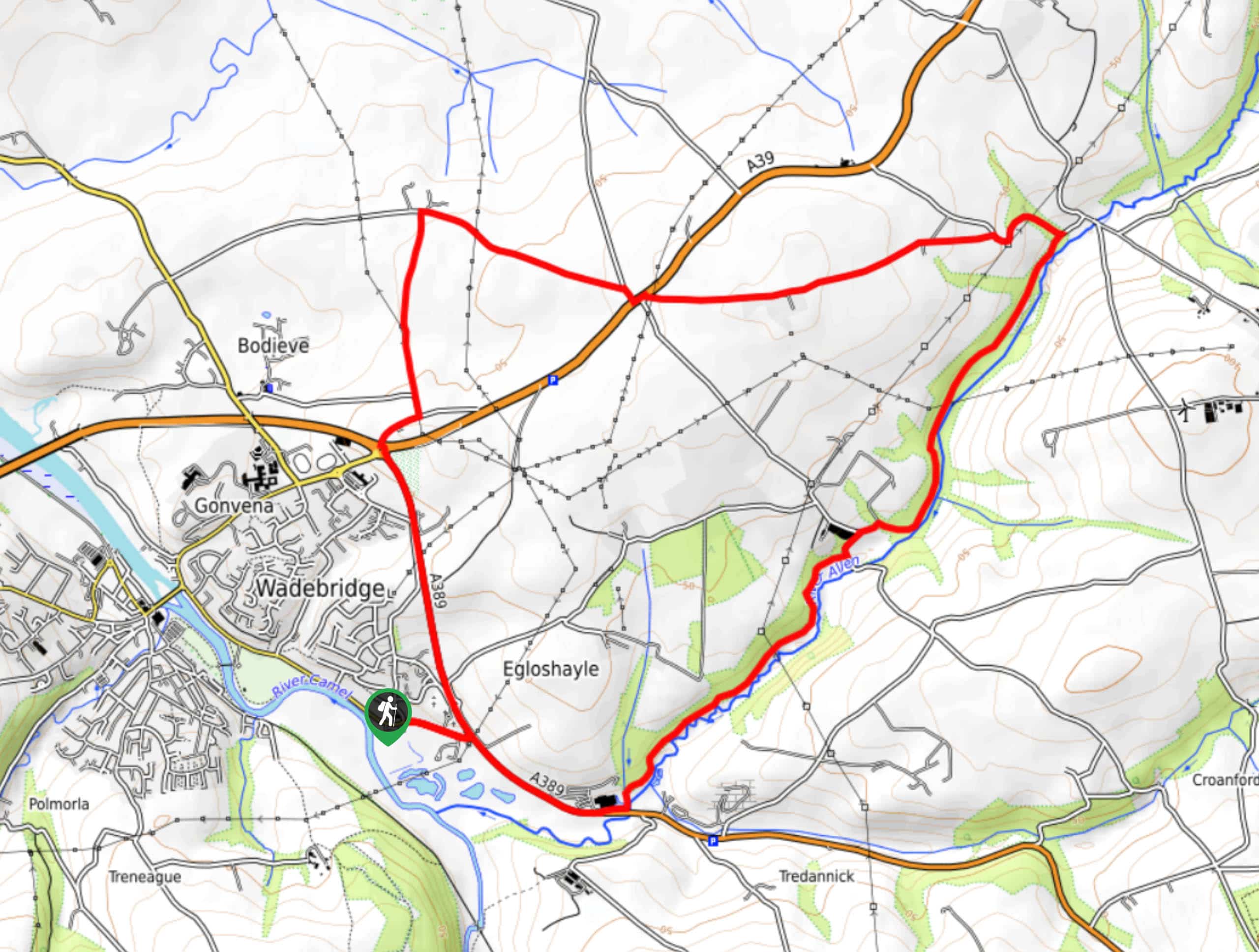
Egloshayle Circular Walk
The Egloshayle Circular Walk is a great outdoor excursion set in the Cornish countryside that will expose you to a…


Comments