

South West Coast Path: St Ives to Geevor
View PhotosSouth West Coast Path: St Ives to Geevor
Difficulty Rating:
The South West Coast Path: St Ives to Geevor is a fantastic oceanside adventure that will showcase the true beauty of the Cornish coastal areas. Departing the picturesque seaside town of St Ives, you will make your way along the shore and take in stunning views of secluded beaches and coves from atop dramatic cliffs. This really is an amazing way to experience the coast of England.
Getting there
To reach the South West Coast Path: St Ives to Geevor trailhead from the St Ives railway station, head north on The Terrace for 0.3mi and keep straight onto Tregenna Place for another 0.1mi. Make a right on Market Strand and follow it for 165ft before turning slightly left onto Wharf Road. After 0.2mi, turn left on Fish Street and follow it for 341ft, turning left onto Back Road E to continue on for 0.1mi. Make a right here to arrive at the trailhead.
About
| Backcountry Campground | No |
| When to do | Year-Round |
| Pets allowed | Yes - On Leash |
| Family friendly | No |
| Route Signage | Average |
| Crowd Levels | Moderate |
| Route Type | One Way |
South West Coast Path: St Ives to Geevor
Elevation Graph
Weather
St Ives to Geevor Trail Description
Another beautifully scenic stretch of the South West Coast Path, the St Ives to Geevor segment of this famous long distance walk will allow you to fully experience the natural beauty of the coastal landscapes that can be found toward the southwest tip of Cornwall. As with the other sections of this walk, this trail is a point-to-point route, meaning that you will need to make arrangements for travel at the end of the walk, or else you will need to cover the entire length of the trail again. Make sure that you are prepared for this rugged coastal walk with sturdy boots and extra layers of clothing, as it can be quite windy/rainy at times.
Setting out from the trailhead at Porthmeor Beach, you will head to the west and leave the seaside town of St Ives behind, making your way along the rocky cliffs that characterize the coast here. Enjoy the stunning views across the Atlantic Ocean, as you walk above the secluded and sandy coves that would make for a relaxing destination to enjoy the peaceful seaside atmosphere.
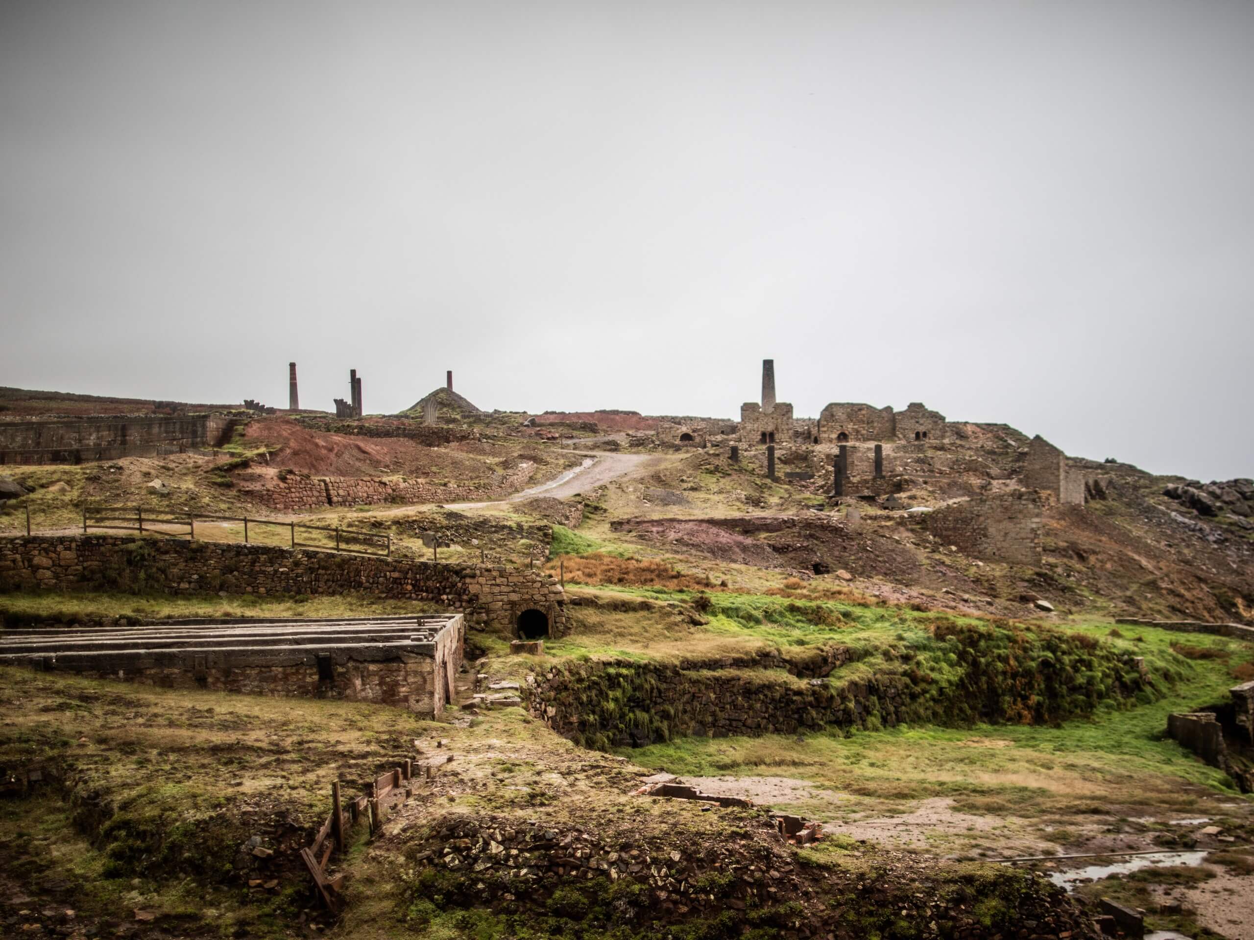
After passing by the Old Mine Ruin and the ruins of Chapel Jane, you will be able to take in views of the scenic Porthmeor Cove, before meandering past the Bosigran Castle Promontory Fort, a rocky cliff face that is popular with climbers. Continuing along the trail, you will pass by Portheras Cove before arriving at the end point of the walk in Geevor.
Insider Hints
If you want to learn more about the South West Coast Path, you can check out a memoir book called the Salt Path, by Raynor Winn.
Similar hikes to the South West Coast Path: St Ives to Geevor hike

Restronguet Passage Circular Walk
The Restronguet Passage Circular Walk is a fantastic outdoor excursion in Cornwall that offers beautifully scenic views overlooking a number…

Crantock and The Gannel Circular Walk
The Crantock and The Gannel Circular Walk is a beautifully scenic adventure near Newquay, Cornwall that will lead you through…

Egloshayle Circular Walk
The Egloshayle Circular Walk is a great outdoor excursion set in the Cornish countryside that will expose you to a…


Comments