

South West Coast Path: Perranporth to Portreath
View PhotosSouth West Coast Path: Perranporth to Portreath
Difficulty Rating:
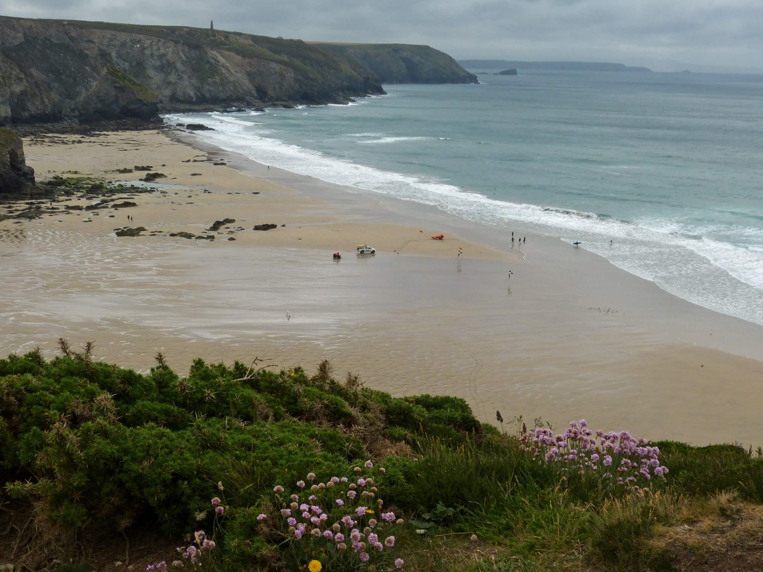
The South West Coast Path: Perranporth to Portreath is a lovely adventure on the Cornish coast that will allow you to experience the beautiful seaside atmosphere here. While out walking the trail, you will meander along the water’s edge, climbing up hillsides and passing through charming villages as you take in the views across the Atlantic Ocean. As this is a one-way trail and the area is poorly served by buses, you will want to arrange a pick up at the end of your walk.
Getting there
To get to the South West Coast Path: Perranporth to Portreath trailhead from Goonhavern, drive northwest on B3285 for 2.3mi and take the second exit at the roundabout onto St Pirans Road, following it for 0.2mi. Make a right onto B3285 and continue on for 46ft, before turning right onto Beach Road. After 417ft, turn right to enter the car park.
About
| Backcountry Campground | No |
| When to do | Year-Round |
| Pets allowed | Yes - On Leash |
| Family friendly | No |
| Route Signage | Average |
| Crowd Levels | Moderate |
| Route Type | One Way |
South West Coast Path: Perranporth to Portreath
Elevation Graph
Weather
Perranporth to Portreath Trail Description
Another gorgeous walking route along the stunning expanse of the Cornish coast, the South West Coast Path: Perranporth to Portreath will lead you through beautifully scenic seaside towns and villages, all while taking in some amazing sightlines over secluded coves and beaches that border the Atlantic Ocean. There is a bit of elevation gain along the route and it is also quite long, so be sure to wear sturdy walking boots and bring plenty of snacks and water.
Setting out from the trailhead, you will make your way to the southwest to leave the town of Perranporth behind and traverse the rugged terrain of the coast. After passing by an airfield and the charming Trevaunance Cove, you will round the beautifully scenic St Agnes Head and continue to the southwest to traverse several other secluded beaches, such as those at Chapel Porth and Porthtowan. From here, you will complete the final leg of the walk that will bring you past another airfield and into the end point in Portreath.
Similar hikes to the South West Coast Path: Perranporth to Portreath hike

Restronguet Passage Circular Walk
The Restronguet Passage Circular Walk is a fantastic outdoor excursion in Cornwall that offers beautifully scenic views overlooking a number…

Crantock and The Gannel Circular Walk
The Crantock and The Gannel Circular Walk is a beautifully scenic adventure near Newquay, Cornwall that will lead you through…

Egloshayle Circular Walk
The Egloshayle Circular Walk is a great outdoor excursion set in the Cornish countryside that will expose you to a…


Comments