

South West Coast Path: Mawgan Porth to Perranporth
View PhotosSouth West Coast Path: Mawgan Porth to Perranporth
Difficulty Rating:
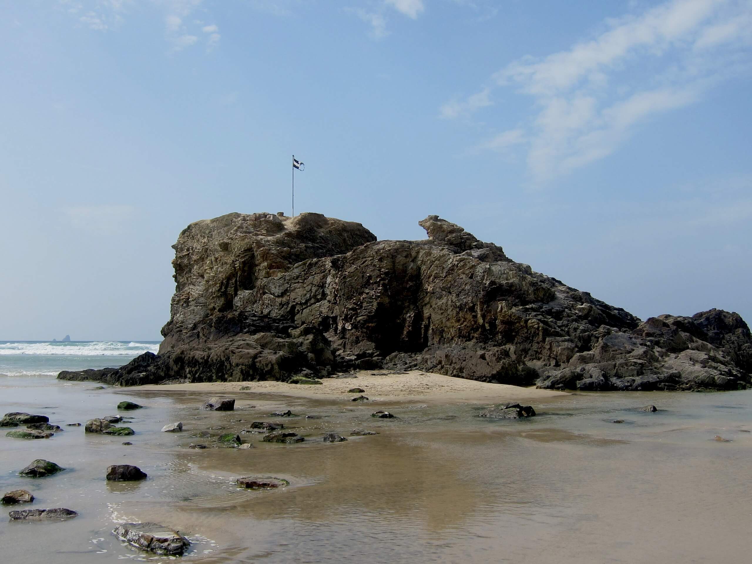
The South West Coast Path: Mawgan to Perranporth is another lengthy stretch of the famous long distance walking route that will take you along the southwestern coast of England. While out on the trail, you will experience beautiful coastal scenery and pass through charming seaside villages and towns that dot the landscape. This route is often split up into two parts; however, it can certainly be done in a single day if you can handle the leg work.
Getting there
To reach the South West Coast Path: Mawgan Porth to Perranporth trailhead from Trenance, head south on B3276 for 0.9mi and turn left to enter the car park.
About
| Backcountry Campground | No |
| When to do | Year-Round |
| Pets allowed | Yes - On Leash |
| Family friendly | No |
| Route Signage | Average |
| Crowd Levels | Low |
| Route Type | One Way |
South West Coast Path: Mawgan Porth to Perranporth
Elevation Graph
Weather
Mawgan Porth to Perranporth Trail Description
While the South West Coast Path: Mawgan Porth to Perranporth is a long route that is sure to challenge your level of physical fitness, it will be because of the overall distance, rather than any technical or difficult terrain. There are a few climbs throughout the route though, so be sure to wear proper walking footwear to stay comfortable on the long journey.
Setting out from the trailhead in Mawgan Porth, you will head to the southwest and make your way along the dramatic cliff faces that characterize the coast here before passing by the beautiful sands of Beacon Cove and the much larger Watergate Beach. From here, you will continue to the southwest to work through the coastal areas of Newquay on the way to the Fern Pit ferry crossing.
Reaching the opposite bank of the River Gannel, continue following along the coastline and enjoy the views across the ocean, as you traverse the terrain along the West Pentire Peninsula and Kelsey Head. from here, make your way south past the Honeywell and Perran beaches on the way into the trail’s end in Perranporth.
Similar hikes to the South West Coast Path: Mawgan Porth to Perranporth hike

Restronguet Passage Circular Walk
The Restronguet Passage Circular Walk is a fantastic outdoor excursion in Cornwall that offers beautifully scenic views overlooking a number…

Crantock and The Gannel Circular Walk
The Crantock and The Gannel Circular Walk is a beautifully scenic adventure near Newquay, Cornwall that will lead you through…

Egloshayle Circular Walk
The Egloshayle Circular Walk is a great outdoor excursion set in the Cornish countryside that will expose you to a…


Comments