
Norton and Menethorpe Walk
View Photos
Norton and Menethorpe Walk
Difficulty Rating:
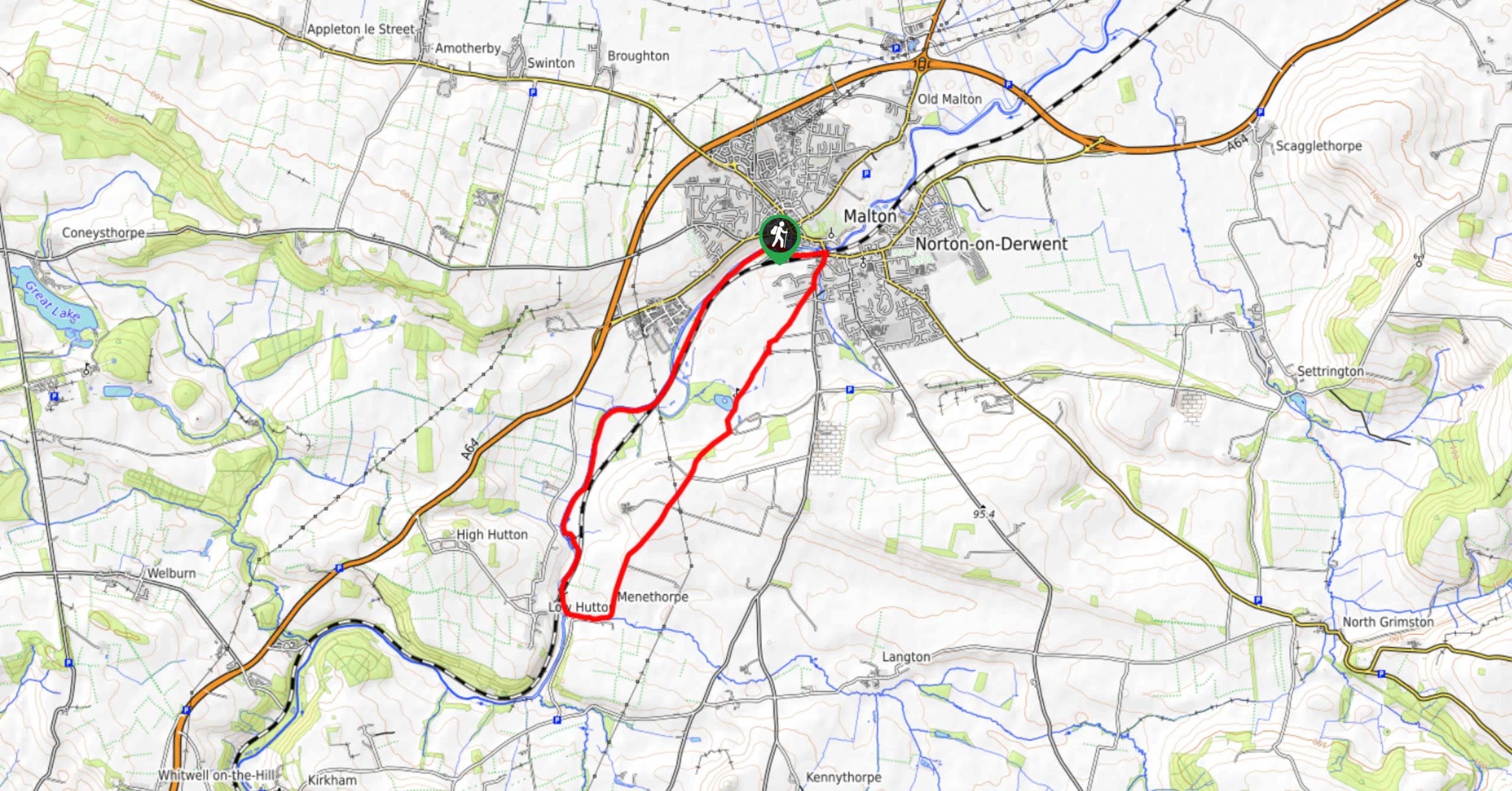
The Norton and Menethorpe Walk is a fun, but slightly overgrown route just east of the Howardian Hills AONB that features scenic views and a riverside setting. While out on the trail, you will leave the town behind in order to traverse the open countryside on the way to the small village of Menethorpe, before making your return along the River Derwent. Walkers should take note that this trail passes through the floodplain and is unusable when water levels along the river are highDue to the overgrown nature of the route, the need to cross a number of stiles, and the amount of livestock, this walk is not suitable for dogs.
Getting there
The trailhead for the Norton and Menethorpe Walk can be found near the Malton Bus Station along Riverside View Road.

About
| Backcountry Campground | No |
| When to do | March-October |
| Pets allowed | No |
| Family friendly | Older Children only |
| Route Signage | Average |
| Crowd Levels | Moderate |
| Route Type | Circuit |
Norton and Menethorpe Walk
Elevation Graph
Weather
Norton and Menethorpe Walk Description
If you are after a scenic riverside walk in North Yorkshire and don’t mind a bit over overgrown trails, then you will want to explore the waterside pathways of the Norton and Menethorpe Walk.
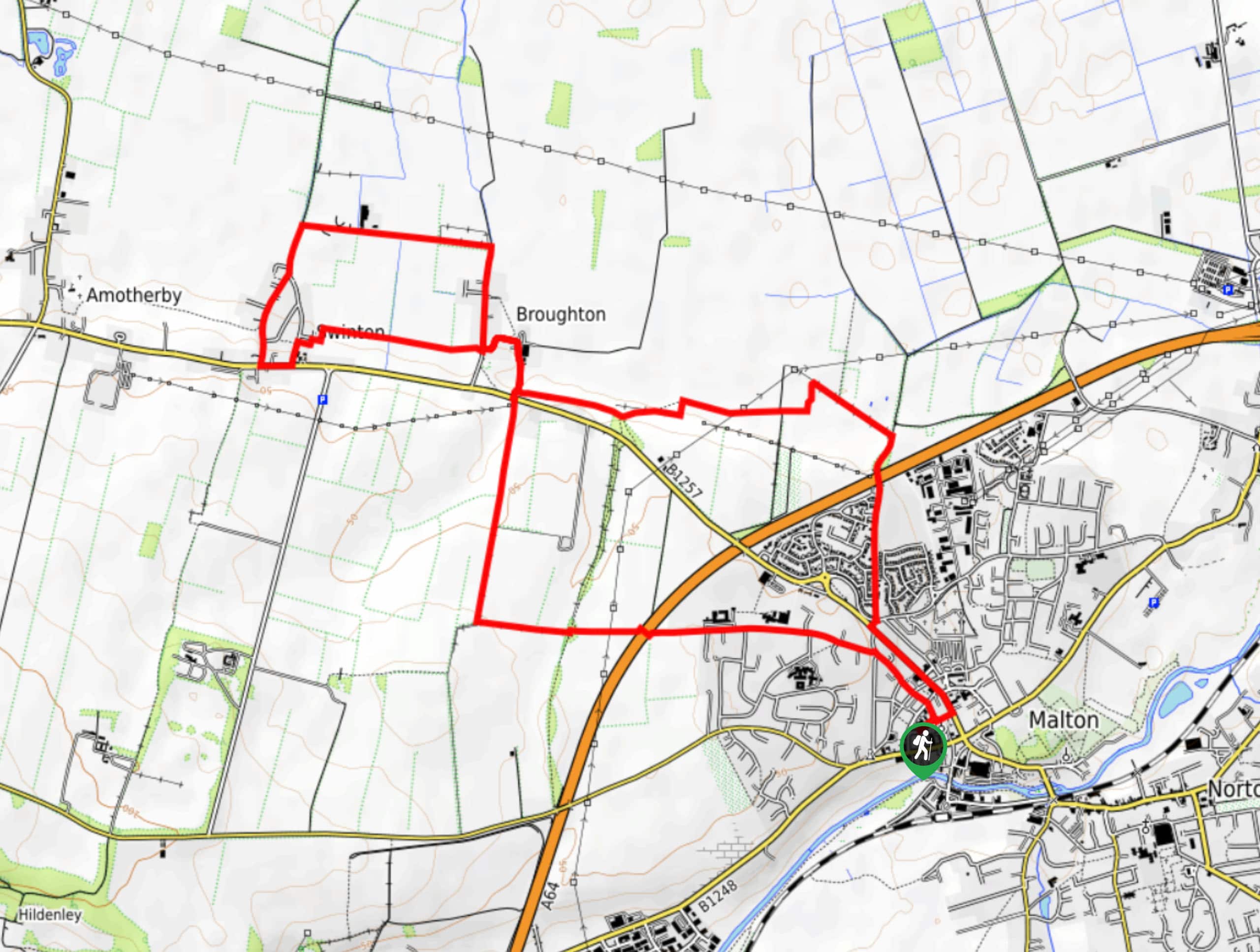
Setting out from the trailhead, you will make your way east along Norton Road and turn south onto Welham Road in order to leave the town behind you. From here, you will traverse the open countryside and pass by the golf course on the way into the small village of Menethorpe.
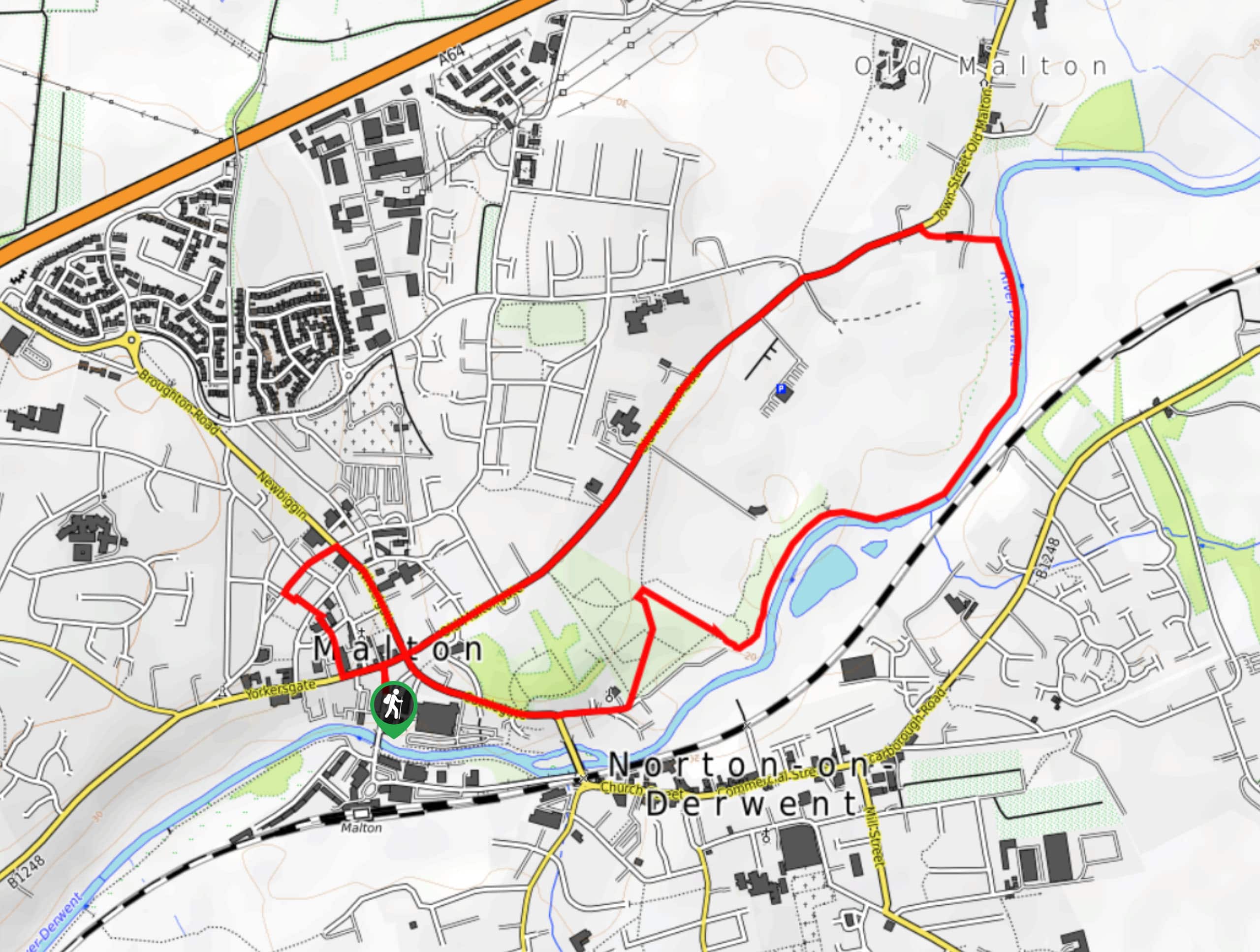
Here, you will turn to the west to meet up with the River Derwent, following its winding banks north as you traverse the slightly overgrown pathway. As this portion of the walk passes through the floodplain, exercise caution in this area and turn back if you find that water levels are higher than normal. After walking along the banks of the River Derwent, you will eventually arrive back at the starting point of your walk in the town of Norton-on-Derwent.
Similar hikes to the Norton and Menethorpe Walk hike
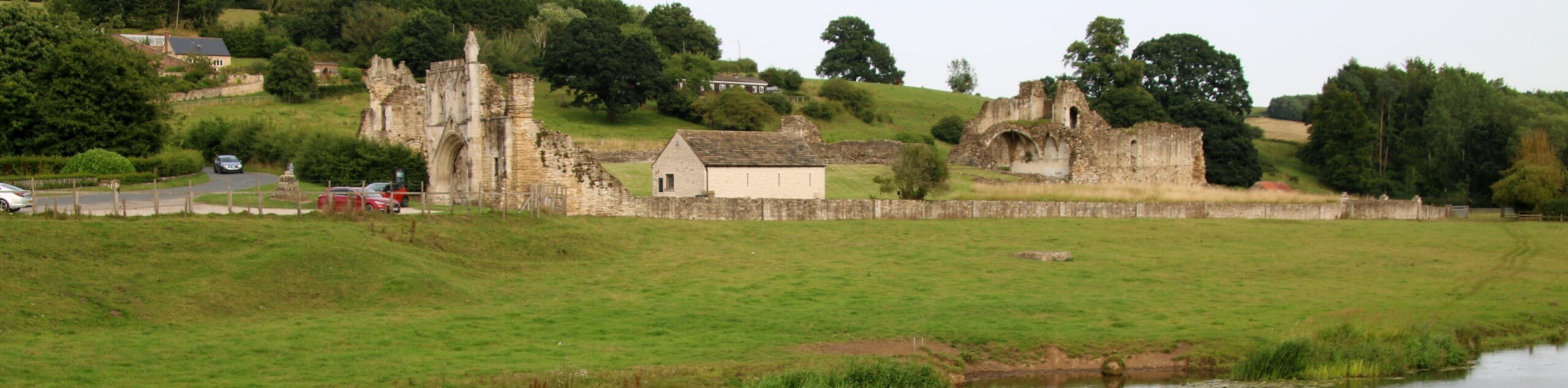
Kirkham Priory and River Derwent Walk
The Kirkham Priory and River Derwent Walk is a fantastic adventure in the Howardian Hills AONB that will showcase the…
Malton and Swinton Walk
The Malton and Swinton Walk is a fun excursion that will lead you from the market town of Maton to…
Malton and Saint Mary’s Priory Walk
The Malton and Saint Mary’s Prior Walk is an amazing city adventure that will take you to a number of…
Comments