

Hovingham and the Howardian Hills Walk
View PhotosHovingham and the Howardian Hills Walk
Difficulty Rating:
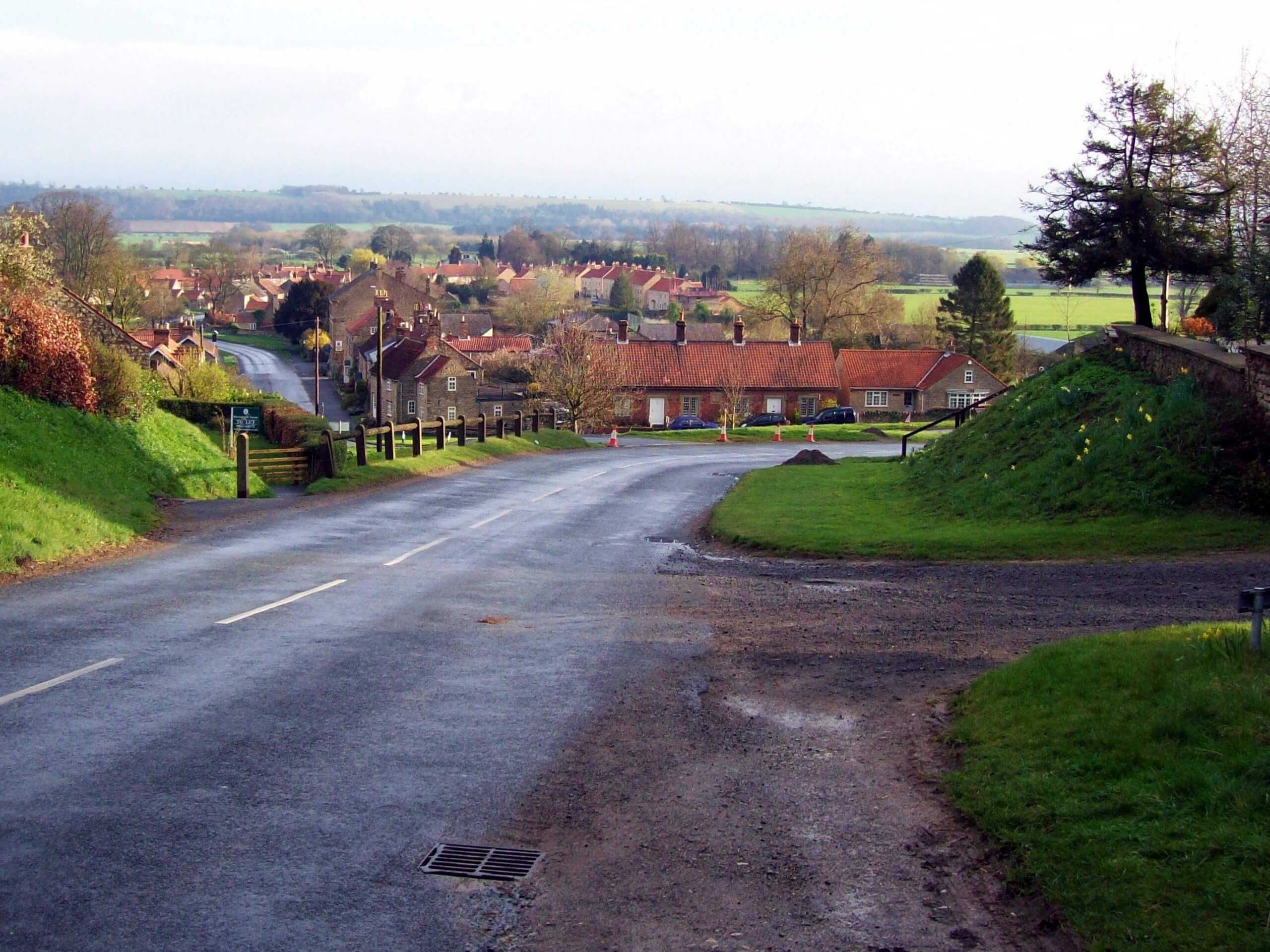
The Hovingham and the Howardian Hills Walk is a pleasant journey across the North Yorkshire countryside that will allow you to experience the charming villages and undulating landscape of the Howardian Hills. While out on the trail, you will leave behind the quaint village of Hovingham in order to explore the open fields and serene woodlands of the surrounding area. While the majority of this walk is dog friendly, the last portion of the trail is not and will require you to walk around the property.
Getting there
The trailhead for the Hovingham and the Howardian Hills Walk can be found in the village of Hovingham at the car park for the Hovingham Inn.
About
| Backcountry Campground | No |
| When to do | Year-Round |
| Pets allowed | Yes - On Leash |
| Family friendly | Yes |
| Route Signage | Average |
| Crowd Levels | Moderate |
| Route Type | Circuit |
Hovingham and the Howardian Hills Walk
Elevation Graph
Weather
Hovingham and the Howardian Hills Walk Description
If you are looking to experience some quintessential Howardian Hills terrain and charming villages on your next North Yorkshire walk, then you will definitely want to check out the Hovingham and Howardian Hills Walk.
Setting out from the car park at the Hovingham Inn, you will make your way south to leave the charming village behind and begin your trek across the countryside. After travelling across open fields, you will descend the hillside through a swathe of forest and follow the trail as it bends to the west.
After meeting up with Marr’s Beck, you will turn to the northeast and follow along the water’s edge, taking in the natural beauty of your surroundings as you make your way back into the village of Hovingham, where you started.
Similar hikes to the Hovingham and the Howardian Hills Walk hike

Norton and Menethorpe Walk
The Norton and Menethorpe Walk is a fun, but slightly overgrown route just east of the Howardian Hills AONB that…

Kirkham Priory and River Derwent Walk
The Kirkham Priory and River Derwent Walk is a fantastic adventure in the Howardian Hills AONB that will showcase the…

Malton and Swinton Walk
The Malton and Swinton Walk is a fun excursion that will lead you from the market town of Maton to…


Comments