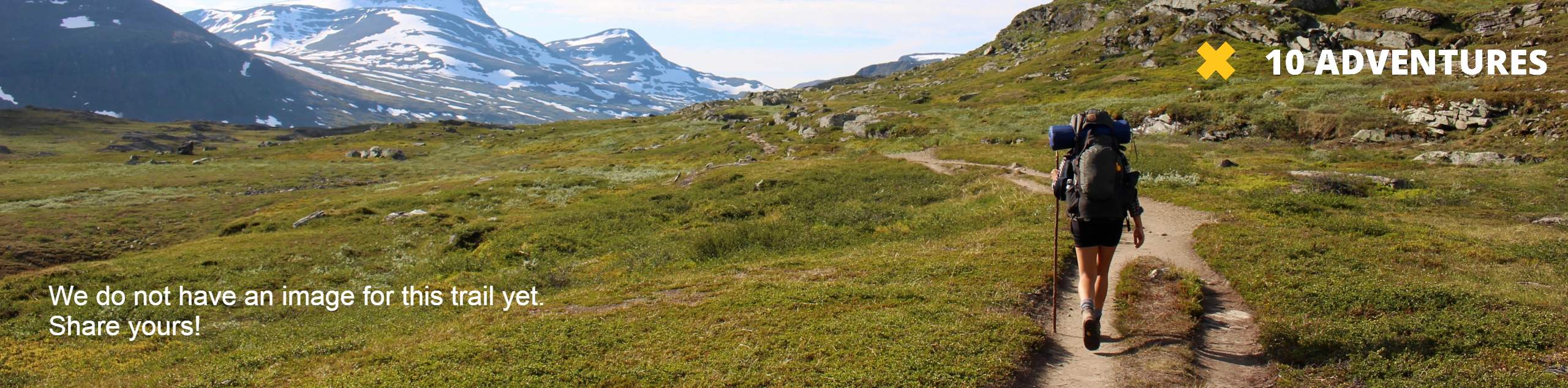
Haffner Creek Trail
View Photos
Haffner Creek Trail
Difficulty Rating:
The Haffner Creek Trail is a lengthy hiking route that will lead you along a winding creek for some scenic views of Kootenay National Park. Portions of the trail are a bit overgrown and the route becomes poorly marked after reaching the base of Mount Haffner; however, there are some beautiful mountain views near the end of the trail. If you enjoy bushwhacking and route finding, then this trail is definitely for you!
Getting there
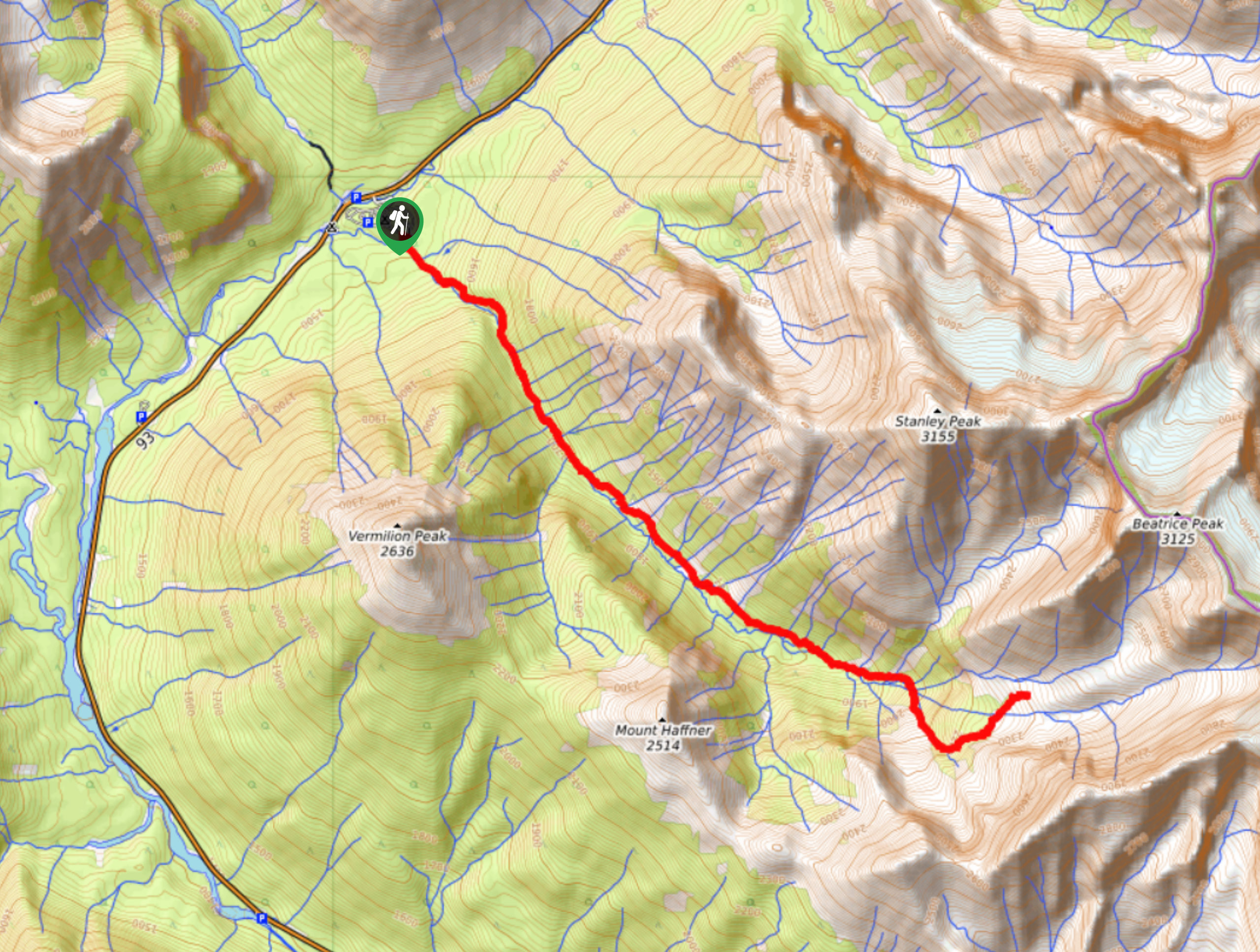
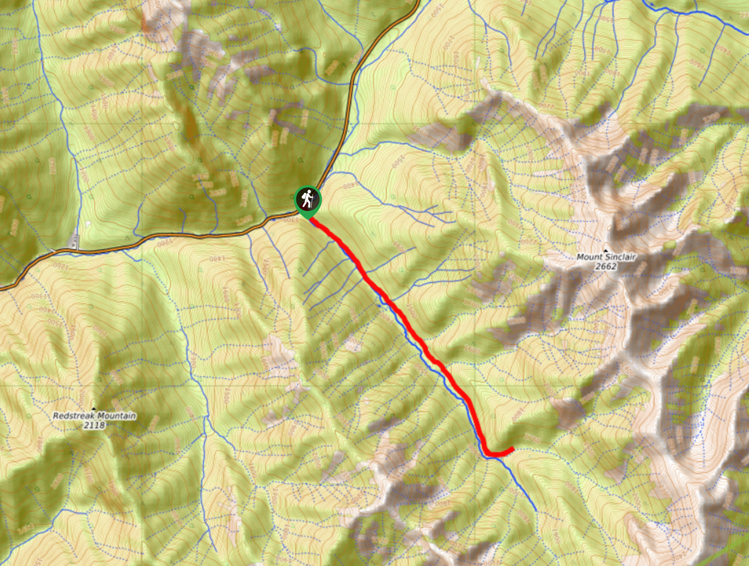
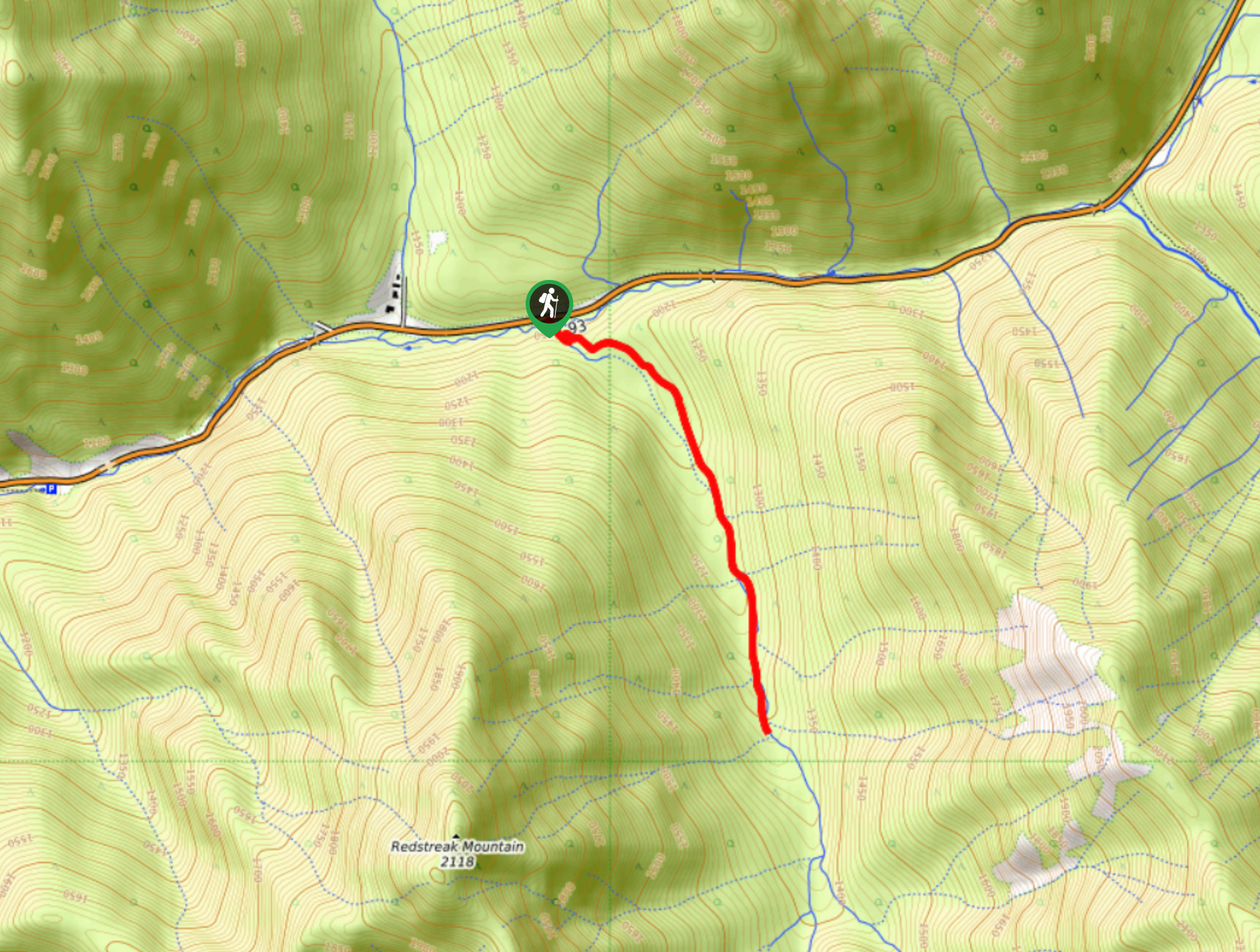
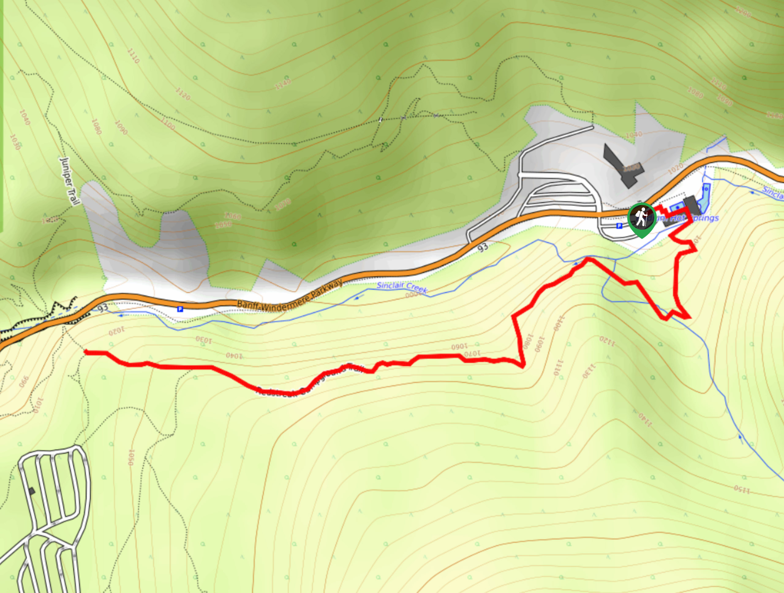
To reach the trailhead for the Haffner Creek Trail from Radium Hot Springs, drive to the northeast along BC-93 for 54.1mi and turn right to enter the Marble Canyon Campground. Follow the road for 1148ft and turn left, continuing on for 1804ft to reach the trailhead.

About
| When to do | July-October |
| Backcountry Campsites | Marble Canyon Campground |
| Pets allowed | Yes - On Leash |
| Family friendly | Older Children only |
| Route Signage | Poor |
| Crowd Levels | Moderate |
| Route Type | Out and back |
Haffner Creek Trail
Elevation Graph
Weather
Haffner Creek Trail Description
Even though route finding along this hike can be a bit challenging, it is all part of the fun along the Haffner Creek Trail. Be sure to wear proper hiking boots and bring a GPS in order to stay on the correct route. Setting out from the trailhead at the Marble Canyon Campground, make your way southeast along Haffner Creek as you pass through the dense forests below Vermillion Peak and Mount Haffner. At this point, you will need to rely on your route finding skills, as the trail becomes poorly marked. Continue along the winding banks of the creek, as they approach the imposing rock formations of Beatrice Peak and Mount Ball while climbing uphill through the rugged terrain. Reaching the end of the trail, you will have some nice views of the dramatic mountain peaks and surrounding forests that help to make up for the initial forested parts of the trail. From here, you can turn back and retrace your footsteps towards the trailhead where you began the adventure.
Similar hikes to the Haffner Creek Trail hike
Kimpton Creek Trail
The Kimpton Creek Trail would be a nice and easy hike through the forest along a charming creek if it…
Redstreak Creek Trail
Hiking the Redstreak Creek Trail is a quick and relatively easy hike that features several steep sections of terrain and…
Redstreak Campground Trail
The Redstreak Campground Trail is a quick and easy hiking route in the southern portion of Kootenay National Park that…
Comments