

Redstreak Campground Trail
View PhotosRedstreak Campground Trail
Difficulty Rating:
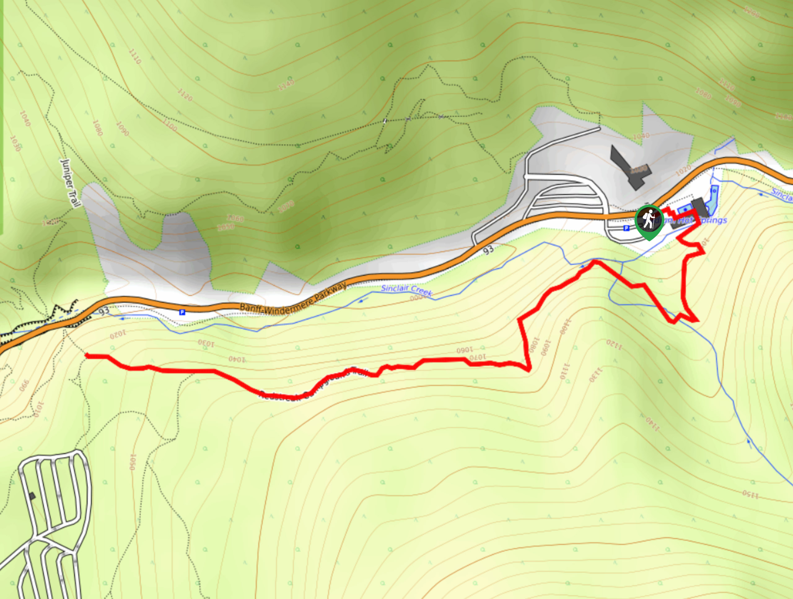
The Redstreak Campground Trail is a quick and easy hiking route in the southern portion of Kootenay National Park that will provide you with some scenic views overlooking the valley. While out on the trail, you will hike along an elevated position above Sinclair Creek that will eventually bring you to the edge of the campground. Easy-to-navigate trails, scenic views, and the chance for a dip in the hot springs all make this a great hike that the entire family will love.
Getting there
To reach the trailhead for the Redstreak Campground Trail from Radium Hot Springs, drive to the northeast on BC-93 for 1.7mi and turn right to enter the parking lot.
About
| When to do | July-October |
| Backcountry Campsites | Redstreak Campground |
| Pets allowed | Yes - On Leash |
| Family friendly | Yes |
| Route Signage | Average |
| Crowd Levels | Moderate |
| Route Type | Out and back |
Redstreak Campground Trail
Elevation Graph
Weather
Redstreak Campground Trail Description
Although it is only a short adventure, the Redstreak Campground Trail is a fantastic hiking route for beginners and families with young children, as there is plenty to see along the easy and well-maintained paths. Starting at the Radium Hot Springs, the trail will take you south across Sinclair Creek to climb uphill above the valley floor. From here, you will turn to the west and hike parallel to the creek, following it to a lookout on the edge of the Redstreak Campground that offers some beautifully scenic views that sweep across the Kootenay Valley. After taking in the sights, head back along the trail and wrap up your adventure with a dip in the relaxing hot springs.
Similar hikes to the Redstreak Campground Trail hike

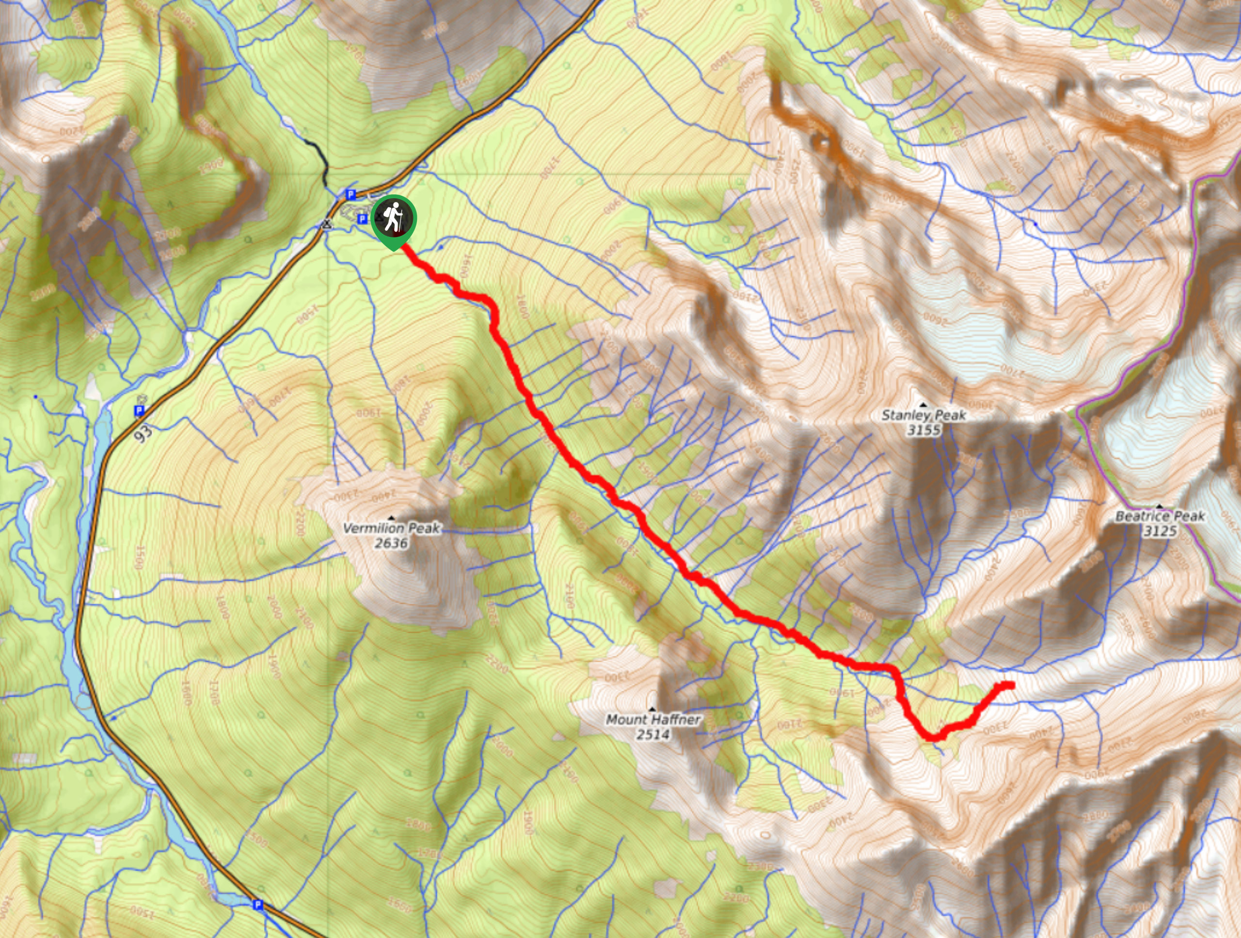
Haffner Creek Trail
The Haffner Creek Trail is a lengthy hiking route that will lead you along a winding creek for some scenic…

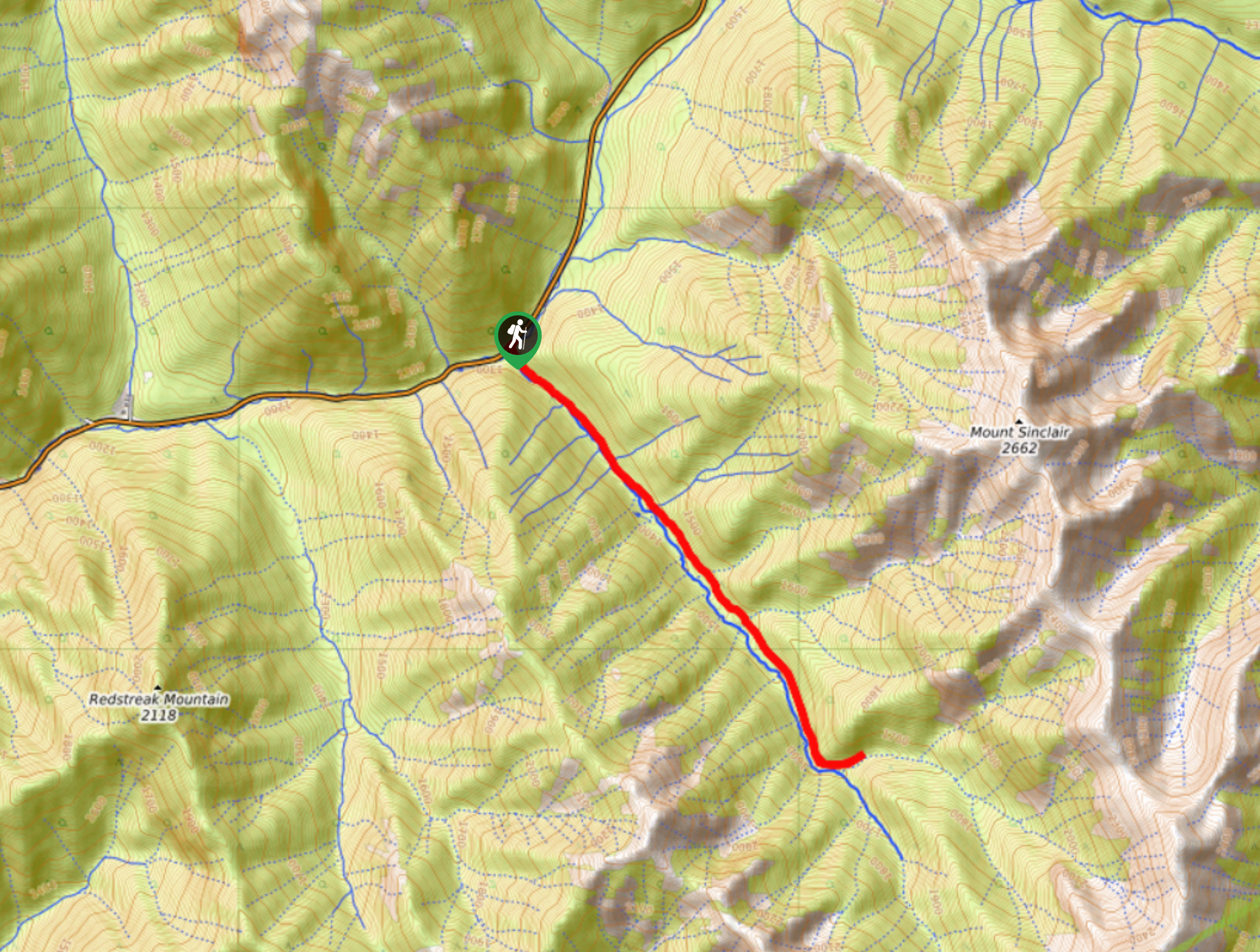
Kimpton Creek Trail
The Kimpton Creek Trail would be a nice and easy hike through the forest along a charming creek if it…

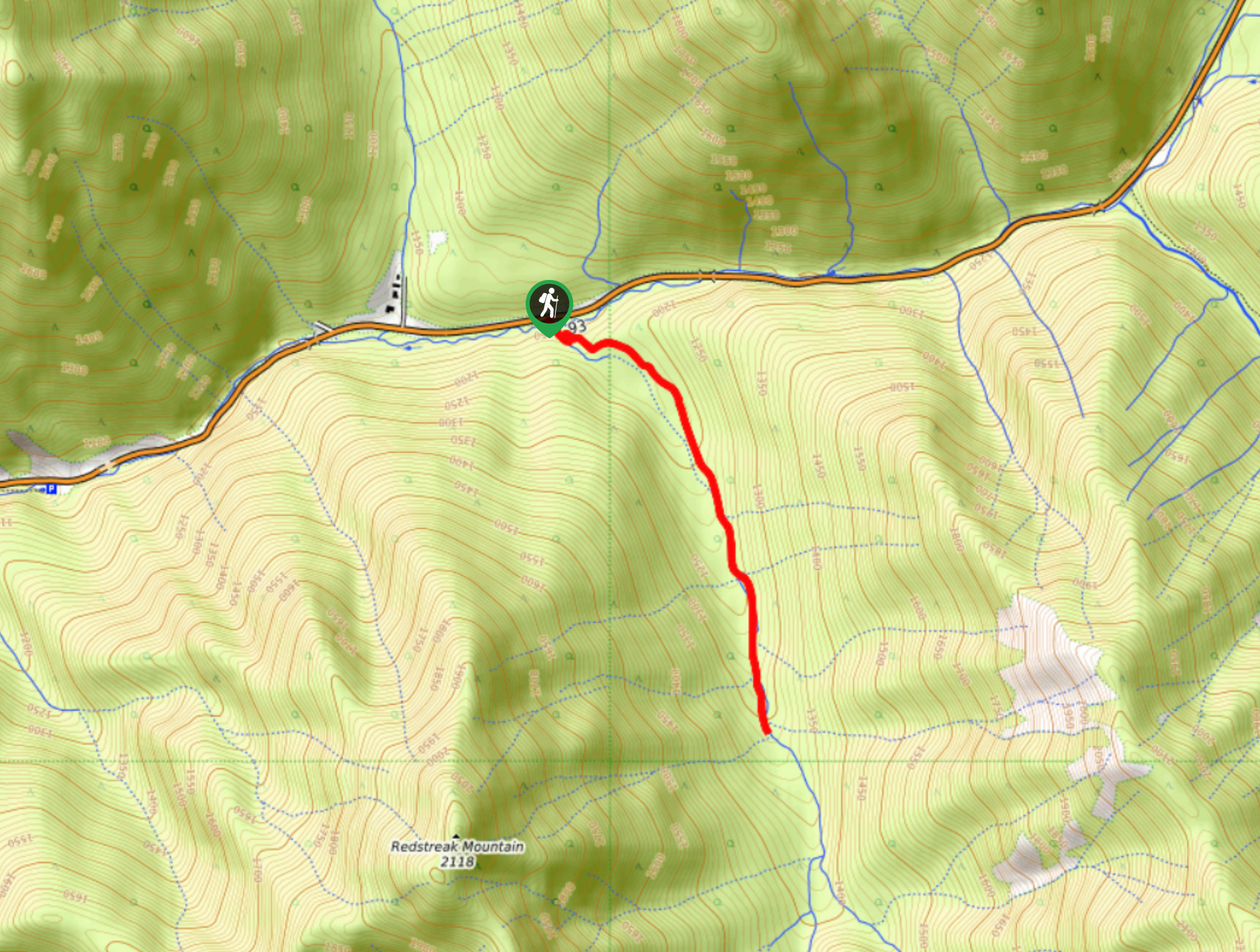
Redstreak Creek Trail
Hiking the Redstreak Creek Trail is a quick and relatively easy hike that features several steep sections of terrain and…


Comments